Nanny Farmer's Bottom

Valley in Gloucestershire Stroud

England

Nanny Farmer's Bottom

Wotton-Under-Edge : Roundabout A roundabout in the road with the war memorial and Edbrooke House in view.
Wotton-Under-Edge : Roundabout Credit: Lewis Clarke

Nanny Farmer's Bottom is a picturesque valley nestled in the heart of Gloucestershire, England. Located in the Cotswold Hills, this idyllic countryside destination offers visitors a serene and tranquil experience.

The valley is named after Nanny Farmer, a local farmer who lived in the area in the 18th century. The name "Bottom" refers to the valley's location at the foot of a gentle slope, providing stunning views of the surrounding landscape.

Lush green fields and rolling hills dominate the scenery of Nanny Farmer's Bottom. The valley is dotted with charming traditional cottages, showcasing the region's rich architectural heritage. The area is also home to a variety of wildlife, including rabbits, foxes, and a wide array of bird species.

Visitors can explore the valley by foot or bicycle, taking in the fresh country air and enjoying the peaceful ambiance. The area is crisscrossed by footpaths and bridleways, making it accessible to outdoor enthusiasts of all levels.

Nanny Farmer's Bottom is also a popular destination for nature lovers and photographers, who are drawn to its natural beauty and panoramic vistas. The valley boasts breathtaking views of the surrounding countryside, with vibrant wildflowers and blooming trees adding a splash of color throughout the seasons.

For those seeking a retreat from the hustle and bustle of city life, Nanny Farmer's Bottom offers a tranquil escape in the heart of Gloucestershire. Its unspoiled natural beauty and serene atmosphere make it an ideal destination for those looking to reconnect with nature and enjoy the simple pleasures of rural life.

If you have any feedback on the listing, please let us know in the comments section below.

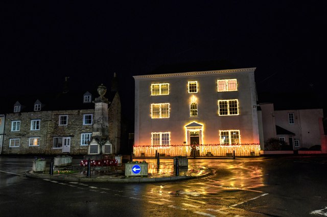
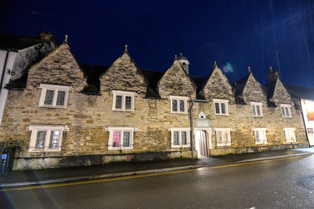
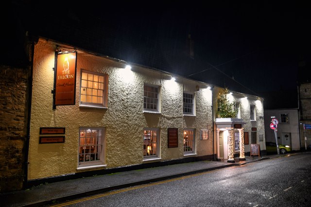
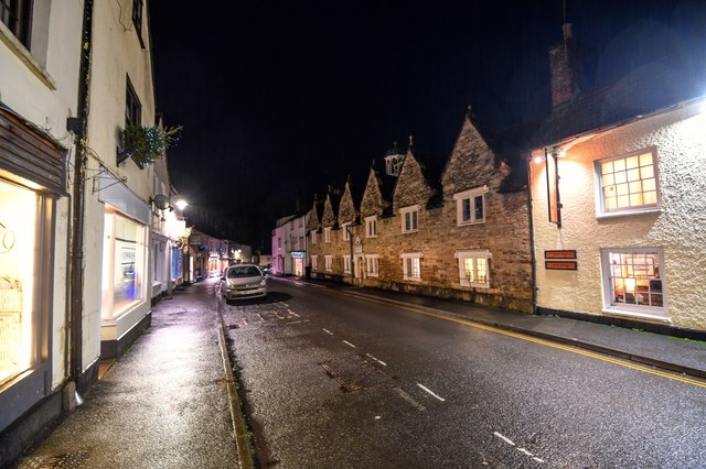
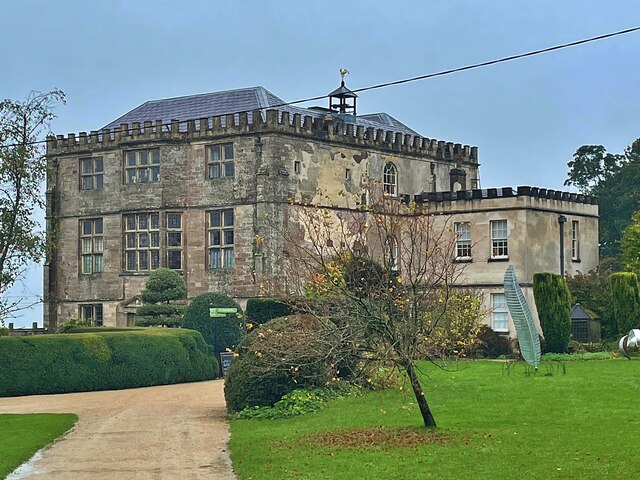
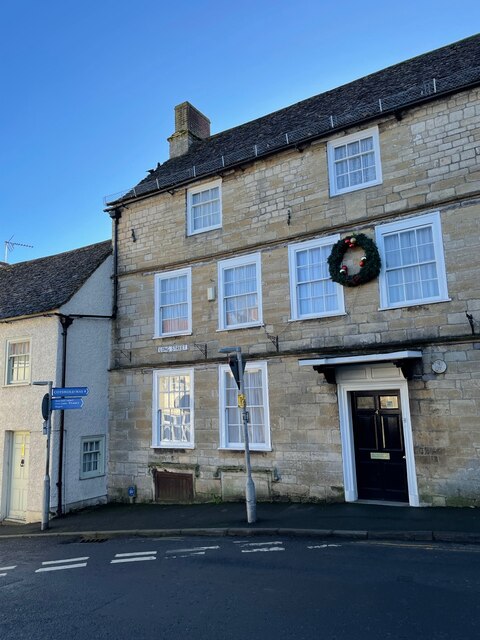
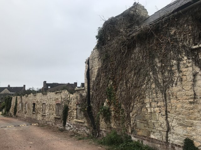
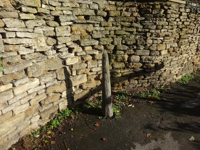
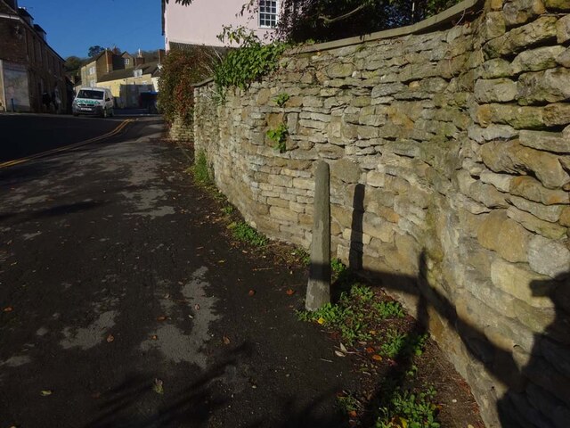
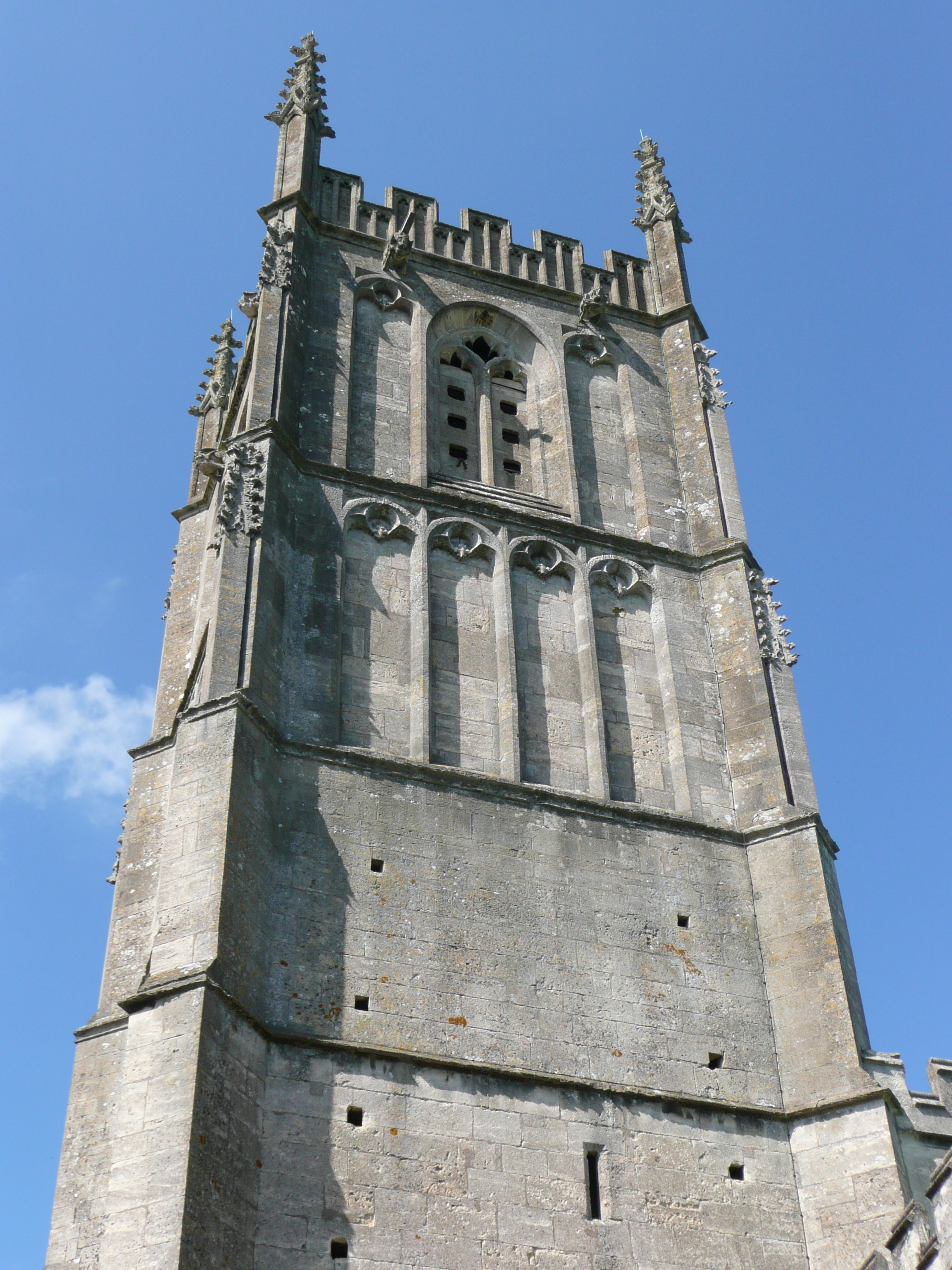
Nanny Farmer's Bottom Images

Images are sourced within 2km of 51.628948/-2.3369423 or Grid Reference ST7692. Thanks to Geograph Open Source API. All images are credited.

Wotton-Under-Edge : Roundabout A roundabout in the road with the war memorial and Edbrooke House in view.
Wotton-Under-Edge : Roundabout
A roundabout in the road with the war memorial and Edbrooke House in view.
Wotton-Under-Edge : Roundabout Almshouses. Part 1638 (dated) part 1712 and today a Grade II listed building.
Wotton-Under-Edge : Roundabout
Almshouses. Part 1638 (dated) part 1712 and today a Grade II listed building.
Wotton-Under-Edge : The Falcon Steakhouse The Falcon Steakhouse is a traditional Cotswold Steakhouse located in the picturesque town of Wotton-under-Edge.
Wotton-Under-Edge : The Falcon Steakhouse
The Falcon Steakhouse is a traditional Cotswold Steakhouse located in the picturesque town of Wotton-under-Edge.
Wotton-Under-Edge : Church Street Looking along Church Street.
Wotton-Under-Edge : Church Street
Looking along Church Street.
Milestone, Alderley Road In the centre of Alderley village, opposite & just S of the Cotswold Way.  Wotton plate, erected by the Wotton-Under-Edge (Division) turnpike trust in the 19th century. 

Inscription once read: To / Wotton / II

Milestone Society National ID: GL_WEHU02
Milestone, Alderley Road
In the centre of Alderley village, opposite & just S of the Cotswold Way. Wotton plate, erected by the Wotton-Under-Edge (Division) turnpike trust in the 19th century. Inscription once read: To / Wotton / II Milestone Society National ID: GL_WEHU02
Square Pear A sculpture by Richard Cresswell in the garden at Newark House, an exhibit in 'Sculpture in the Garden 2021'
Square Pear
A sculpture by Richard Cresswell in the garden at Newark House, an exhibit in 'Sculpture in the Garden 2021'
Cyclamen and fallen leaves In the grounds of Newark House
Cyclamen and fallen leaves
In the grounds of Newark House
Newark House A grade II listed building built as a hunting lodge by Sir Nicholas Poyntz in the mid 1500s and extended and remodelled several times over the next 400 years. It was given to National Trust in 1949.
Newark House
A grade II listed building built as a hunting lodge by Sir Nicholas Poyntz in the mid 1500s and extended and remodelled several times over the next 400 years. It was given to National Trust in 1949.
Cut Mark: Wotton-under-Edge, Long Street, Carlton House Cut bench mark on the frontage of the house.  See <a title="https://www.geograph.org.uk/photo/7070432" href="https://www.geograph.org.uk/photo/7070432">Link</a> for a wider view and <span class="nowrap"><a title="https://www.bench-marks.org.uk/bm59141" rel="nofollow ugc noopener" href="https://www.bench-marks.org.uk/bm59141">Link</a><img style="margin-left:2px;" alt="External link" title="External link - shift click to open in new window" src="https://s1.geograph.org.uk/img/external.png" width="10" height="10"/></span> for details of the mark.
Cut Mark: Wotton-under-Edge, Long Street, Carlton House
Cut bench mark on the frontage of the house. See Link for a wider view and LinkExternal link for details of the mark.
Carlton House, Long Street There is a cut bench mark on the frontage of the house.  See <a title="https://www.geograph.org.uk/photo/7070429" href="https://www.geograph.org.uk/photo/7070429">Link</a> for a wider view and <span class="nowrap"><a title="https://www.bench-marks.org.uk/bm59141" rel="nofollow ugc noopener" href="https://www.bench-marks.org.uk/bm59141">Link</a><img style="margin-left:2px;" alt="External link" title="External link - shift click to open in new window" src="https://s1.geograph.org.uk/img/external.png" width="10" height="10"/></span> for details of the mark.
Carlton House, Long Street
There is a cut bench mark on the frontage of the house. See Link for a wider view and LinkExternal link for details of the mark.
Cut Mark: Wotton-under-Edge, Orchard Street / Long Street Cut mark on the Orchard Street face of a building on the corner of Orchard Street and Long Street.  See <span class="nowrap"><a title="https://www.bench-marks.org.uk/bm102245" rel="nofollow ugc noopener" href="https://www.bench-marks.org.uk/bm102245">Link</a><img style="margin-left:2px;" alt="External link" title="External link - shift click to open in new window" src="https://s1.geograph.org.uk/img/external.png" width="10" height="10"/></span> for details of the mark.
Cut Mark: Wotton-under-Edge, Orchard Street / Long Street
Cut mark on the Orchard Street face of a building on the corner of Orchard Street and Long Street. See LinkExternal link for details of the mark.
Stone Stile, Wortley At the entrance to Wortley House on Gloucestershire footpath CWE73.
Stone Stile, Wortley
At the entrance to Wortley House on Gloucestershire footpath CWE73.
Derelict buildings
Derelict buildings
Stone Stile, Wotton under Edge A gatepost and squeeze stile on Gloucestershire footpath CWE90 looking East. It would allow people to pass but not horses or cattle. Sheep might have been able to traverse. There was originally a gate at this point. The alternative view looking NW is <a href="https://www.geograph.org.uk/photo/7349021">ST7593 : Stone Stile, Wotton under Edge</a>.
Stone Stile, Wotton under Edge
A gatepost and squeeze stile on Gloucestershire footpath CWE90 looking East. It would allow people to pass but not horses or cattle. Sheep might have been able to traverse. There was originally a gate at this point. The alternative view looking NW is ST7593 : Stone Stile, Wotton under Edge.
Stone Stile, Wotton under Edge A gatepost and squeeze stile on Gloucestershire footpath CWE90 looking NW. It would allow people to pass but not horses or cattle. Sheep might have been able to traverse. There was originally a gate at this point. The alternative view looking East is <a href="https://www.geograph.org.uk/photo/7349020">ST7593 : Stone Stile, Wotton under Edge</a>.
Stone Stile, Wotton under Edge
A gatepost and squeeze stile on Gloucestershire footpath CWE90 looking NW. It would allow people to pass but not horses or cattle. Sheep might have been able to traverse. There was originally a gate at this point. The alternative view looking East is ST7593 : Stone Stile, Wotton under Edge.
Crinkle-crankle wall at Newark Park A description is contained in the collection <a title="https://www.geograph.org.uk/gallery/crinkle_crankle_or_serpentine_walls_15374" href="https://www.geograph.org.uk/gallery/crinkle_crankle_or_serpentine_walls_15374">Link</a>
Crinkle-crankle wall at Newark Park
A description is contained in the collection Link
Crinkle-crankle wall at Newark Park A collection featuring these walls <a title="https://www.geograph.org.uk/gallery/crinkle_crankle_or_serpentine_walls_15374" href="https://www.geograph.org.uk/gallery/crinkle_crankle_or_serpentine_walls_15374">Link</a>
Crinkle-crankle wall at Newark Park
A collection featuring these walls Link
Wotton-Under-Edge : Bear Street Looking along Bear Street from the road junction.
Wotton-Under-Edge : Bear Street
Looking along Bear Street from the road junction.
Show me another place!

Nanny Farmer's Bottom is located at Grid Ref: ST7692 (Lat: 51.628948, Lng: -2.3369423)

Administrative County: Gloucestershire

District: Stroud

Police Authority: Gloucestershire

What 3 Words

///swan.thudding.outgoing. Near Wotton-under-Edge, Gloucestershire

Related Wikis

Ancient Ram Inn

The Ancient Ram Inn is a Grade II* listed building and a former pub located in Wotton-under-Edge, a market town within the Stroud district of Gloucestershire...

Wotton-under-Edge

Wotton-under-Edge is a market town and civil parish in the Stroud district of Gloucestershire, England. Near the southern fringe of the Cotswolds, the...

St Mary the Virgin, Wotton-under-Edge

One of the oldest churches in its area, St Mary's was consecrated on 19 August 1283 by Bishop of Worcester, Godfrey Giffard. It is believed that most of...

Nind Nature Reserve

Nind Nature Reserve (grid reference ST755915) is a 3.75-hectare (9.3-acre) nature reserve in Gloucestershire.The site is managed by the Gloucestershire...

Alderley, Gloucestershire

Alderley (also previously known as Alderleigh) is a village and civil parish in the Stroud district of Gloucestershire, England, about fourteen miles southwest...

Wotton under Edge Friary

Wotton under Edge Friary was a friary of the Crutched Friars in Wotton-under-Edge, Gloucestershire, England. It was founded in 1347. == References ==

Wotton-under-Edge Town Hall

Wotton-under-Edge Town Hall is a municipal building in Market Street, Wotton-under-Edge, Gloucestershire, England. The structure, which operates as a community...

Rose Hill School, Alderley

Rose Hill School was a co-educational, boarding and day, Pre-preparatory and Preparatory School for children aged 2–14 years old. It was situated in Cotswold...

Nearby Amenities

Located within 500m of 51.628948,-2.3369423
Little Tor Hill
Natural: peak
Lat/Long: 51.6295271/-2.3405574
Nanny Farmer's Bottom
Natural: valley
Lat/Long: 51.6294725/-2.3373817
Tor Hill
Natural: peak
Lat/Long: 51.6331473/-2.3389695
The data included in this document is from www.openstreetmap.org. The data is made available under ODbL.

Have you been to Nanny Farmer's Bottom?

Leave your review of Nanny Farmer's Bottom below (or comments, questions and feedback).