Knight's Cleugh

Valley in Northumberland

England

Knight's Cleugh

Herd's House
Herd's House Credit: Roger Cornfoot

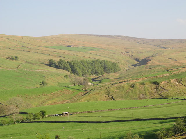
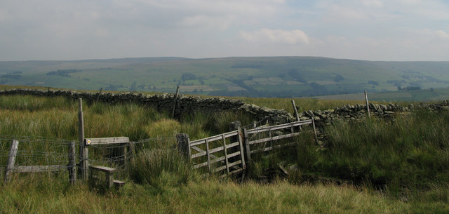
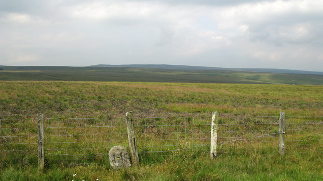
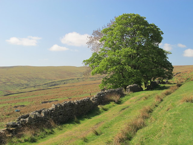
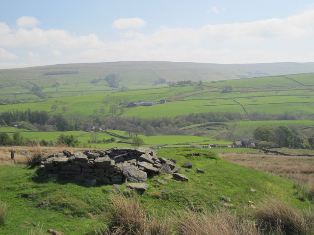
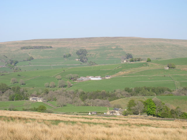
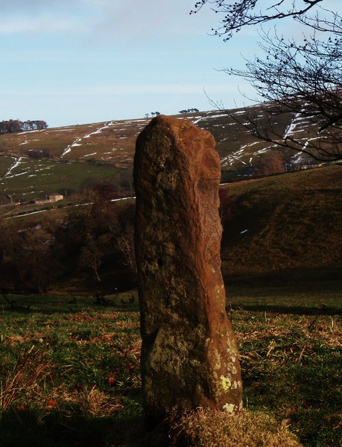
Knight's Cleugh is a picturesque valley located in Northumberland, England. It is situated in the North Pennines Area of Outstanding Natural Beauty, making it a popular destination for outdoor enthusiasts and nature lovers. The valley is renowned for its stunning landscapes, rugged terrain, and diverse wildlife.

The main feature of Knight's Cleugh is the meandering river that runs through it, known as the Cleugh Burn. This river is fed by numerous streams and small waterfalls, creating a serene and peaceful atmosphere. The valley is also characterized by its steep, grassy slopes, which are dotted with heather and wildflowers during the summer months.

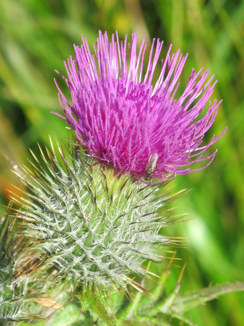
The flora and fauna of Knight's Cleugh are incredibly diverse. The valley is home to a wide range of plant species, including ferns, mosses, and various types of grasses. The surrounding woodlands provide a habitat for numerous bird species, such as woodpeckers, thrushes, and owls. Red squirrels, badgers, and foxes can also be spotted in the area.

The valley offers a variety of recreational activities for visitors. Hiking and walking trails are available, allowing visitors to explore the natural beauty of the area. The river provides opportunities for fishing, and there are designated picnic areas where visitors can relax and enjoy a meal amidst the stunning scenery.

Overall, Knight's Cleugh is a hidden gem in Northumberland, offering a tranquil escape from the hustle and bustle of everyday life. Its natural beauty and diverse wildlife make it a must-visit destination for nature enthusiasts and those seeking a peaceful retreat in the heart of the North Pennines.

If you have any feedback on the listing, please let us know in the comments section below.

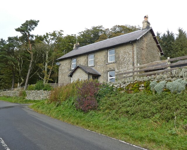
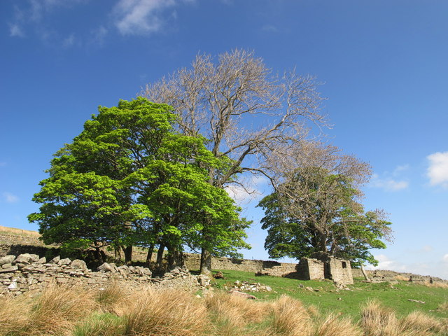
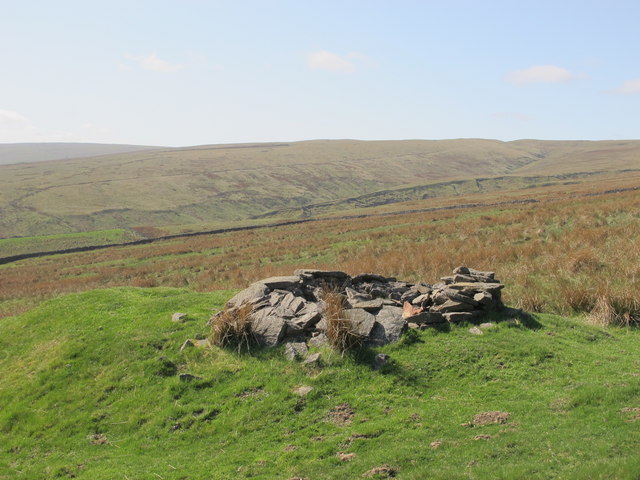
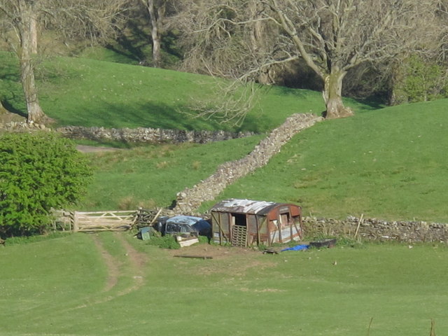
Knight's Cleugh Images

Images are sourced within 2km of 54.855338/-2.3693912 or Grid Reference NY7651. Thanks to Geograph Open Source API. All images are credited.

Herd's House
Herd's House
Ruin south of Fairplay
Disused mine shaft south of Fairplay
Old railway goods van near Mohope Head (2) See also <a href="https://www.geograph.org.uk/photo/692103">NY7750 : Old railway goods van near Mohope Head</a>.
Old railway goods van near Mohope Head (2)
The upper Mohope valley Shows the location of <a href="https://www.geograph.org.uk/photo/2384495">NY7750 : Old railway goods van near Mohope Head (2)</a>. In the middle distance (centre) is <a href="https://www.geograph.org.uk/photo/136467">NY7749 : Appletree Shield</a> and on the far side of the valley above the woodland is <a href="https://www.geograph.org.uk/photo/135202">NY7848 : New House</a> (both photographed by Andrew Smith).
The upper Mohope valley
Shows the location of NY7750 : Old railway goods van near Mohope Head (2). In the middle distance (centre) is NY7749 : Appletree Shield and on the far side of the valley above the woodland is NY7848 : New House (both photographed by Andrew Smith).
Fence and wall junction with stile In West Allendale a rough lane leads onto a ridge above Keirsleywell Row. A byway follows that lane and from the byway branches a path which crosses the fence by the stile in the photograph.
Fence and wall junction with stile
In West Allendale a rough lane leads onto a ridge above Keirsleywell Row. A byway follows that lane and from the byway branches a path which crosses the fence by the stile in the photograph.
Boundary stone and fence on moorland above West Allendale A line of boundary stones follows a ridge towards Hard Rigg on the watershed between the Rivers Nent and West Allen; the stones are deeply cut with the letter H on one side and W on the other; the stones generally are numbered on top, this being number 10. The view beyond is to the north and Whitfield Moor.
Boundary stone and fence on moorland above West Allendale
A line of boundary stones follows a ridge towards Hard Rigg on the watershed between the Rivers Nent and West Allen; the stones are deeply cut with the letter H on one side and W on the other; the stones generally are numbered on top, this being number 10. The view beyond is to the north and Whitfield Moor.
Ruined building at confluence of Mohope and Wellhope Burns The Mohope Burn is below to the left, the Wellhope to the right. The ruin is in the angle of the confluence; its purpose unknown.
Ruined building at confluence of Mohope and Wellhope Burns
The Mohope Burn is below to the left, the Wellhope to the right. The ruin is in the angle of the confluence; its purpose unknown.
Mohope Head Shows the location of <a href="https://www.geograph.org.uk/photo/2384495">NY7750 : Old railway goods van near Mohope Head (2)</a> (just right of centre, at the far end of the field beyond the line of trees).
Mohope Head
Shows the location of NY7750 : Old railway goods van near Mohope Head (2) (just right of centre, at the far end of the field beyond the line of trees).
Track and rough pastures south of Fairplay With Mohope Moor beyond. For a view back from the other side of the trees, see <a href="https://www.geograph.org.uk/photo/2383721">NY7650 : Ruin south of Fairplay</a>.
Track and rough pastures south of Fairplay
With Mohope Moor beyond. For a view back from the other side of the trees, see NY7650 : Ruin south of Fairplay.
Old mine shaft above Mohope Head Looking across the Mohope valley towards <a href="https://www.geograph.org.uk/photo/413226">NY7750 : Hesleywell Farm</a>.
Old mine shaft above Mohope Head
Looking across the Mohope valley towards NY7750 : Hesleywell Farm.
Mohope Head (2) Looking across the valley towards <a href="https://www.geograph.org.uk/photo/413226">NY7750 : Hesleywell Farm</a>.
Mohope Head (2)
Looking across the valley towards NY7750 : Hesleywell Farm.
Mere stone in Mohope For walkers on Isaac's Tea Trail the lone mere stone is a poignant reminder of the time when land at Mohope was held under common ownership until around the late 1700s. It would also have acted as a marker for the established path for livestock to be driven. It also served to differentiate land use between summer hay crops and winter pasture.
Mere stone in Mohope
For walkers on Isaac's Tea Trail the lone mere stone is a poignant reminder of the time when land at Mohope was held under common ownership until around the late 1700s. It would also have acted as a marker for the established path for livestock to be driven. It also served to differentiate land use between summer hay crops and winter pasture.
Old tailings from the Keirsleywell Lead Mine This view is from Isaac's Tea Trail near the Blind Burn at Mohope. Isaac Holden was a lead miner at the Keirsleywell Lead Mine until around 1832. Cattle graze the land, as they did long before and after the years of lead mining.
Old tailings from the Keirsleywell Lead Mine
This view is from Isaac's Tea Trail near the Blind Burn at Mohope. Isaac Holden was a lead miner at the Keirsleywell Lead Mine until around 1832. Cattle graze the land, as they did long before and after the years of lead mining.
Muddy Mohope A wet summer has presented opportunities for bovine mud bathing on Isaac's Tea Trail at Mohope and muddy boots for walkers.
Muddy Mohope
A wet summer has presented opportunities for bovine mud bathing on Isaac's Tea Trail at Mohope and muddy boots for walkers.
West Allen Dale around Ninebanks It's just possible to see the tower of <a href="https://www.geograph.org.uk/photo/413145">NY7852 : St. Mark's Church, south of Ninebanks</a> (on the far side of the valley, just above the right hand of the two large trees beside the track).
West Allen Dale around Ninebanks
It's just possible to see the tower of NY7852 : St. Mark's Church, south of Ninebanks (on the far side of the valley, just above the right hand of the two large trees beside the track).
The valley of Whitewalls Burn
Thistle by the track on Ouston Fell
Show me another place!

Knight's Cleugh is located at Grid Ref: NY7651 (Lat: 54.855338, Lng: -2.3693912)

Unitary Authority: Northumberland

Police Authority: Northumbria

What 3 Words

///playing.shears.flattered. Near Alston, Cumbria

Nearby Locations

Knight's Cleugh

Related Wikis

Ouston, Ninebanks

Ouston is a small settlement in south west Northumberland, England in the North Pennines Area of Outstanding Natural Beauty 8 miles (13 km) north-east...

Ninebanks

Ninebanks is a small village in south west Northumberland, England in the North Pennines Area of Outstanding Natural Beauty 8 miles (13 km) north-east...

Throssel Hole Buddhist Abbey

Throssel Hole Buddhist Abbey is a Buddhist monastery and retreat centre located in Northumberland, in northern England. The monastic order is equally for...

Ayle

Ayle is a village in Northumberland, England, situated to the north of Alston. There are six residences in the hamlet. == Governance == Ayle is in the...

Have you been to Knight's Cleugh?

Leave your review of Knight's Cleugh below (or comments, questions and feedback).