Wideopen Cleuch

Valley in Roxburghshire

Scotland

Wideopen Cleuch

Old milestone First photographed for the Milestone Society in 2010 this milestone in the Kale Water valley south of Chatto has gained a few more lichens and some moss.   H is for Hindhope which is at the end of tarmac but this would have been an old drovers' route over the hills southwards into England.
Old milestone Credit: Chris Minto

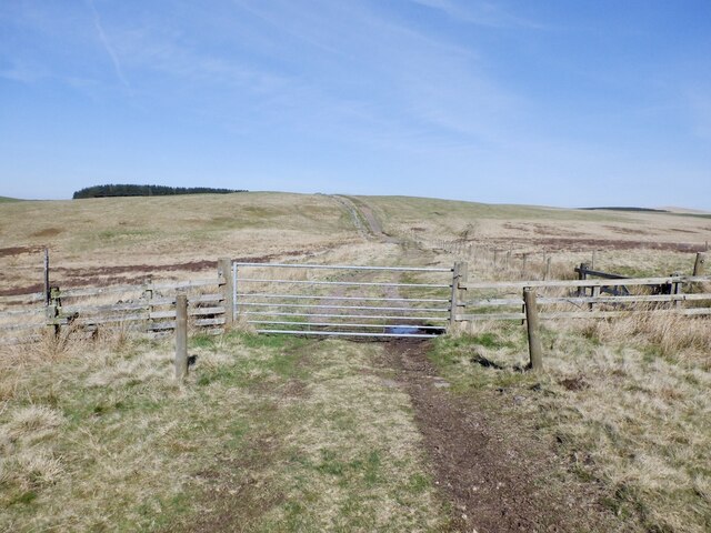
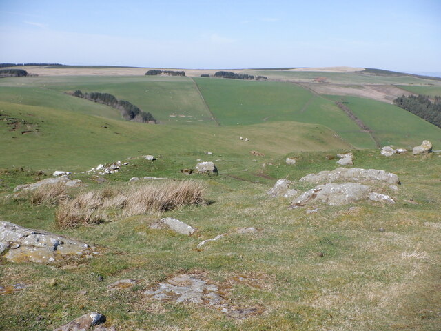
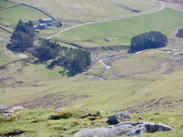
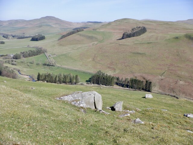
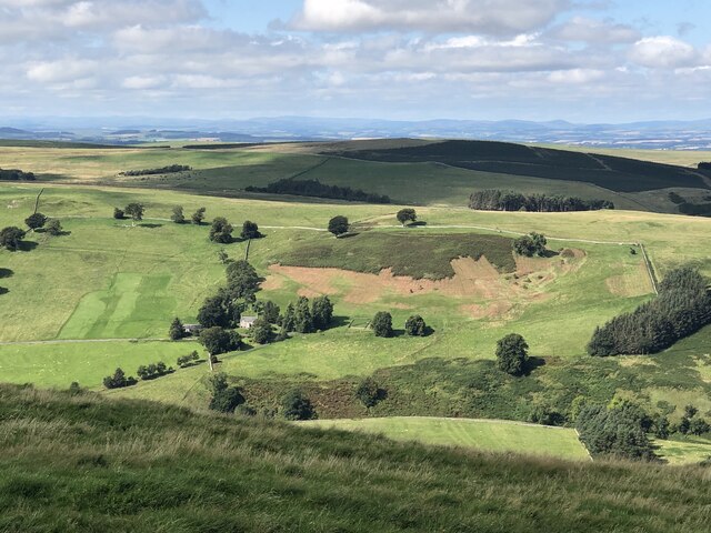
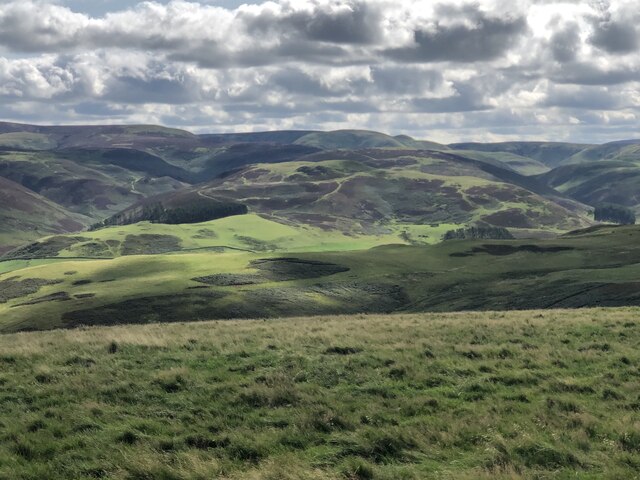
Wideopen Cleuch is a picturesque valley located in the county of Roxburghshire, in the Scottish Borders region of Scotland. Situated in the southern uplands of the country, the valley is known for its stunning natural beauty and diverse wildlife.

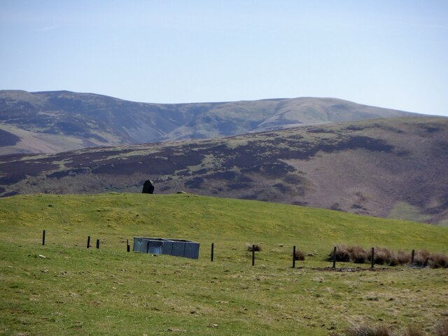
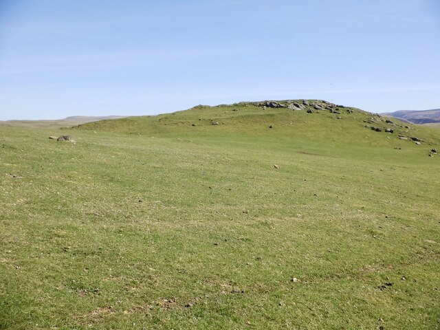
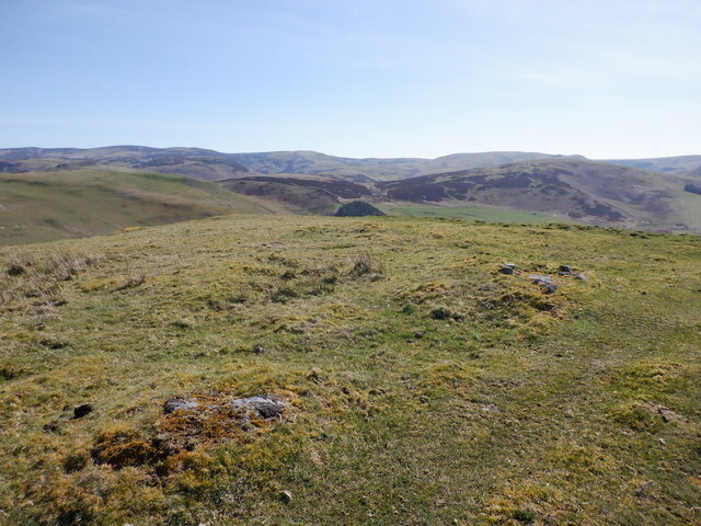
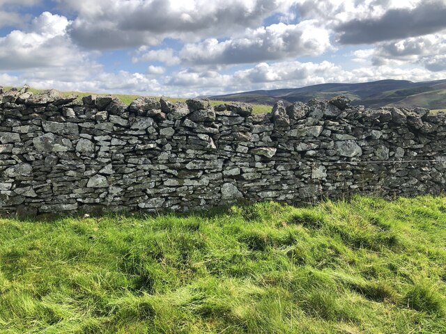
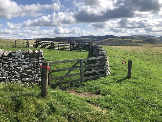
The valley is characterized by its rolling hills, lush green meadows, and sparkling streams that flow through its heart. It is surrounded by majestic mountains, providing a breathtaking backdrop to the area. The landscape is dotted with scattered trees, creating a patchwork of colors throughout the seasons.

Wideopen Cleuch is a haven for outdoor enthusiasts and nature lovers. The valley offers numerous walking and hiking trails that allow visitors to explore its hidden gems. The trails range from easy strolls along the riverbanks to more challenging hikes up the surrounding hills, rewarding adventurers with panoramic views of the surrounding countryside.

The valley is home to a rich variety of wildlife, including red deer, roe deer, and various bird species. It is also known for its wildflowers, with vibrant displays of bluebells and primroses in the spring.

In addition to its natural beauty, Wideopen Cleuch has historical significance. The area is scattered with remnants of ancient settlements, including stone circles and hill forts, providing a glimpse into the region's past.

Overall, Wideopen Cleuch is a captivating valley that showcases the beauty of the Scottish Borders. With its stunning scenery, diverse wildlife, and historical heritage, it offers a peaceful and idyllic retreat for those seeking to connect with nature.

If you have any feedback on the listing, please let us know in the comments section below.

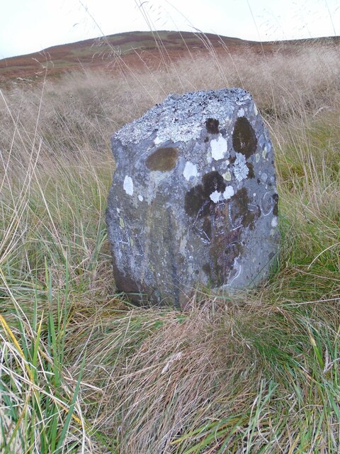
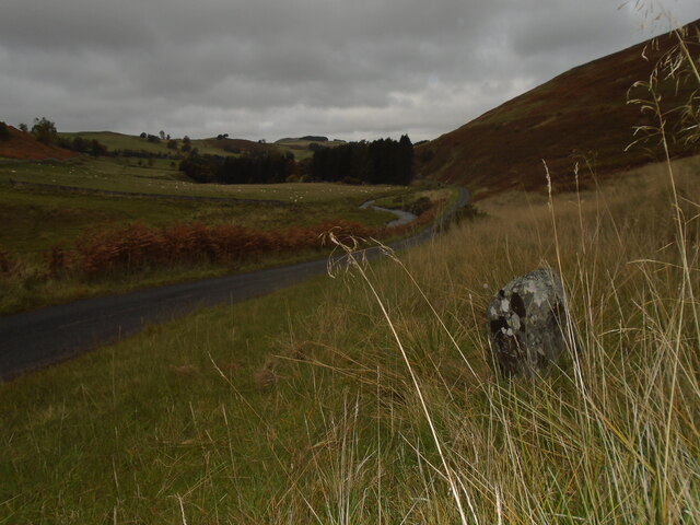
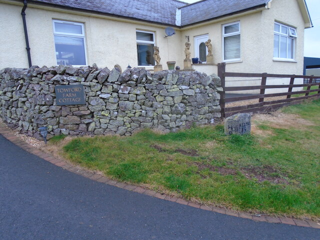
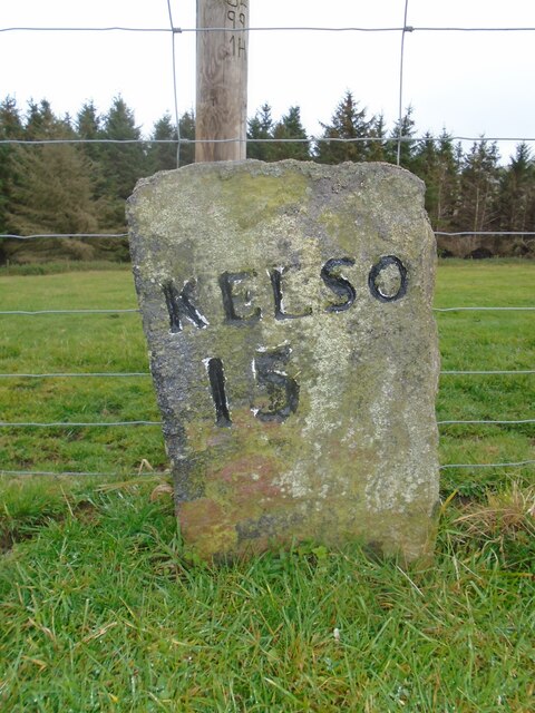
Wideopen Cleuch Images

Images are sourced within 2km of 55.437695/-2.3748773 or Grid Reference NT7616. Thanks to Geograph Open Source API. All images are credited.

Old milestone First photographed for the Milestone Society in 2010 this milestone in the Kale Water valley south of Chatto has gained a few more lichens and some moss.   H is for Hindhope which is at the end of tarmac but this would have been an old drovers' route over the hills southwards into England.
Old milestone
First photographed for the Milestone Society in 2010 this milestone in the Kale Water valley south of Chatto has gained a few more lichens and some moss. H is for Hindhope which is at the end of tarmac but this would have been an old drovers' route over the hills southwards into England.
Old milestone The view northwards on a dull day from the milestone towards Chatto with the Kale Water alongside the road.  This area of the Borders was Roxburghshire prior to the 1970s.
Old milestone
The view northwards on a dull day from the milestone towards Chatto with the Kale Water alongside the road. This area of the Borders was Roxburghshire prior to the 1970s.
Old milestone This stone in front of the cottage, with the legends now painted black, was found somewhere by the farmer about 30 years ago.   It must have been originally set at about NT763140 on the way to Towford, Nether and Upper Hindhope under Hangingshaw Hill on the old drovers' route.
Old milestone
This stone in front of the cottage, with the legends now painted black, was found somewhere by the farmer about 30 years ago. It must have been originally set at about NT763140 on the way to Towford, Nether and Upper Hindhope under Hangingshaw Hill on the old drovers' route.
Old milestone This stone is opposite the northern end of the farm buildings just near the sharp corner.   Travelling past this stone westwards leads to what is now the A68 Carter Bar road at Edgerstone.   However it is also another way to Towford, Nether Hindhope and Upper Hindhope and the old drovers' route to England.
Old milestone
This stone is opposite the northern end of the farm buildings just near the sharp corner. Travelling past this stone westwards leads to what is now the A68 Carter Bar road at Edgerstone. However it is also another way to Towford, Nether Hindhope and Upper Hindhope and the old drovers' route to England.
Gate, Dere Street With an electrified slinky on the south side.
Gate, Dere Street
With an electrified slinky on the south side.
Dere Street, Plea Shank View south towards Pennymuir.
Dere Street, Plea Shank
View south towards Pennymuir.
Standing stone, east side of Plea Shank
Chatto Craig A  rocky top with a hill fort.
Chatto Craig
A rocky top with a hill fort.
Summit, Chatto Craig
Outcropping rock, Chatto Craig Near the summit, within the fort ramparts.
Outcropping rock, Chatto Craig
Near the summit, within the fort ramparts.
Kale Water Beneath Chatto Craig.
Kale Water
Beneath Chatto Craig.
Rocks, Chatto Craig View down the Kale Water.
Rocks, Chatto Craig
View down the Kale Water.
Rough grazing, Plea Shank Beside Dere Street
Rough grazing, Plea Shank
Beside Dere Street
Philogar and Scurrie Knowe View over the Kale Water from Tronshaw Hill.
Philogar and Scurrie Knowe
View over the Kale Water from Tronshaw Hill.
Humblemoor Hill View from Tronshaw Hill. Border ridge beyond.
Humblemoor Hill
View from Tronshaw Hill. Border ridge beyond.
Field, Chatto Hill An enclosure on the broad ridge south of Tronshaw Hill. It is absent from 1899 mapping so probably a 20th century construction.
Field, Chatto Hill
An enclosure on the broad ridge south of Tronshaw Hill. It is absent from 1899 mapping so probably a 20th century construction.
Dyke, Chatto Hill Surrounding a single field amongst the unfenced rough grazing. The enclosure is not shown on 1899 mapping.
Dyke, Chatto Hill
Surrounding a single field amongst the unfenced rough grazing. The enclosure is not shown on 1899 mapping.
Enclosure on Chatto Hill A single field in the middle of a vast unfenced area. The dyke is backed up with an electric fence, there are cattle here.
Enclosure on Chatto Hill
A single field in the middle of a vast unfenced area. The dyke is backed up with an electric fence, there are cattle here.
Show me another place!

Wideopen Cleuch is located at Grid Ref: NT7616 (Lat: 55.437695, Lng: -2.3748773)

Unitary Authority: The Scottish Borders

Police Authority: The Lothians and Scottish Borders

What 3 Words

///motorist.prepares.historic. Near Jedburgh, Scottish Borders

Related Wikis

Pennymuir Roman camps

The Pennymuir Roman camps are situated southeast of Jedburgh in the Scottish Borders area of Scotland, near the Anglo-Scottish border, in the former Roxburghshire...

Hownam

Hownam or Hounam is a small village and parish situated 8 miles east of Jedburgh in the Scottish Borders area of Scotland, near the Anglo-Scottish border...

Oxnam

Oxnam (Scots: Owsenam) is a village near Jedburgh, in Roxburghshire in the Scottish Borders area of Scotland. It is a primarily residential village. The...

Mowhaugh

Mowhaugh is a hamlet and farm steading near the Calroust Burn and the Bowmont Water, near Morebattle, in the Scottish Borders area of Scotland, and in...

Have you been to Wideopen Cleuch?

Leave your review of Wideopen Cleuch below (or comments, questions and feedback).