Allen's Cleugh

Valley in Cumberland Eden

England

Allen's Cleugh

Barn and bridge over the South Tyne
Barn and bridge over the South Tyne Credit: shikari

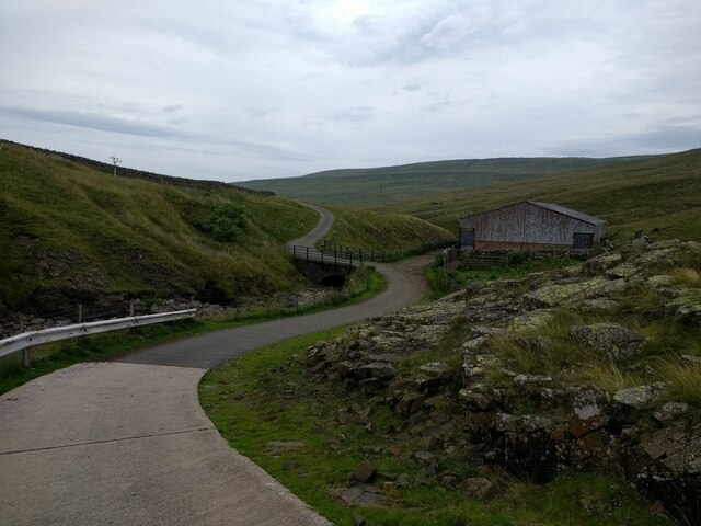
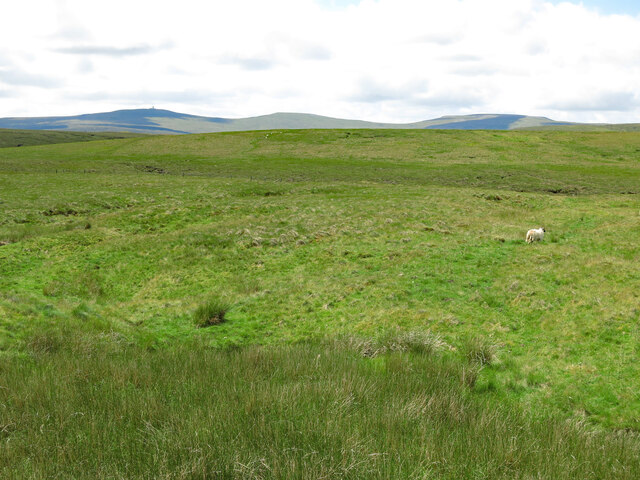
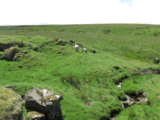
Allen's Cleugh is a picturesque valley located in the county of Cumberland, England. Situated in the northern region of the country, it is renowned for its natural beauty and tranquil atmosphere. The cleugh, which is a term used to describe a narrow valley or ravine, is named after the Allen family who once owned the land.

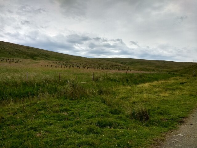
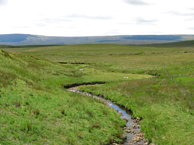
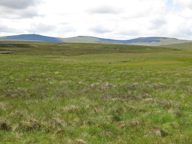
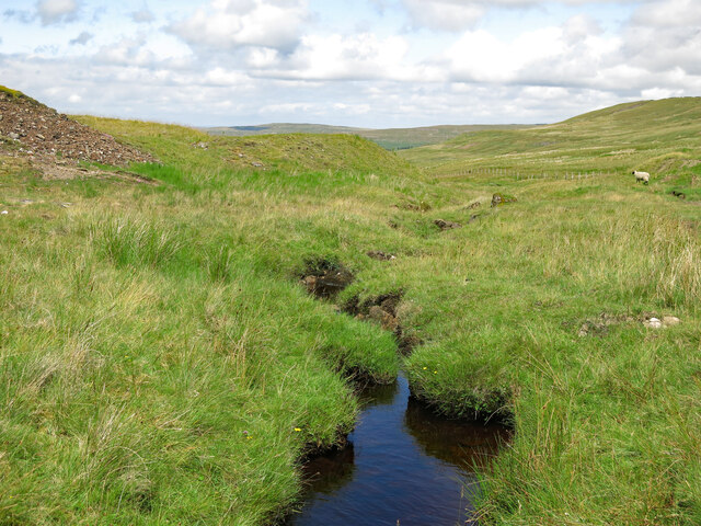
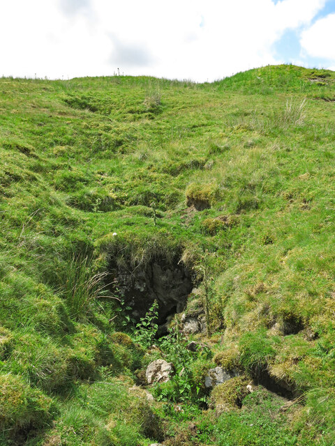
The valley is characterized by its rolling hills, lush green meadows, and meandering streams. It is flanked by dense woodlands, which add to the charm and serenity of the area. The cleugh is a haven for wildlife, with various species of birds, mammals, and insects making their home here.

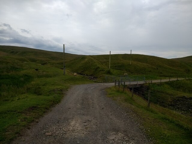
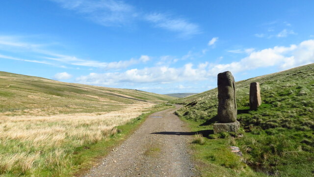
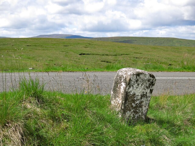
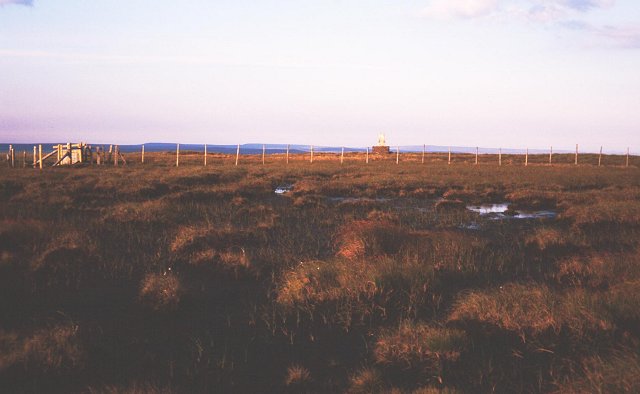
The valley is popular among nature enthusiasts and hikers due to its network of well-maintained trails that offer breathtaking views of the surrounding countryside. The cleugh is often described as a walker's paradise, with routes catering to all levels of abilities.

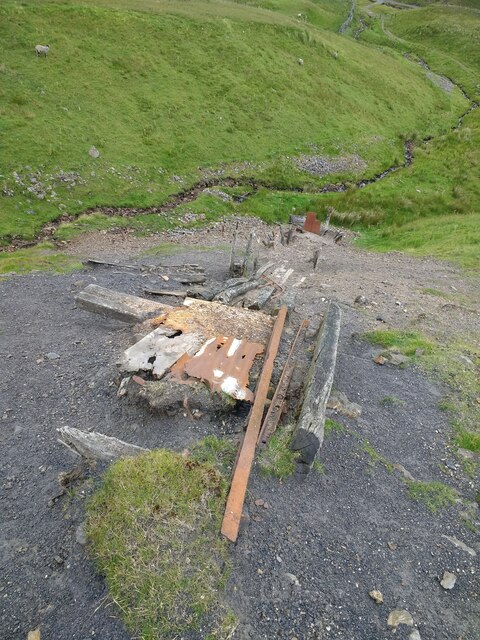
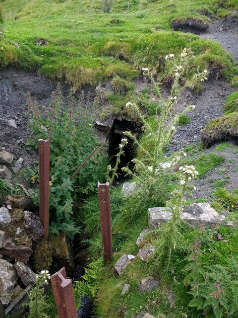
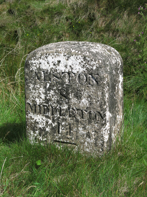
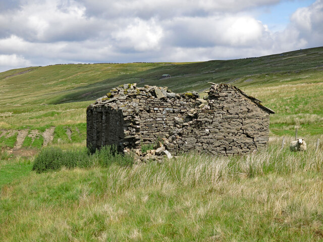
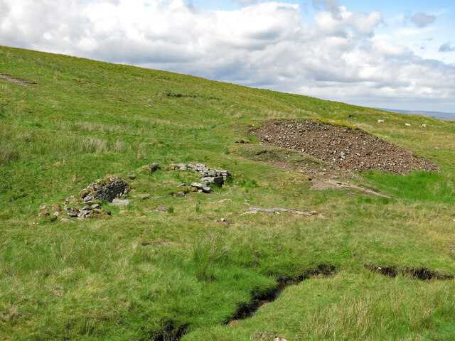
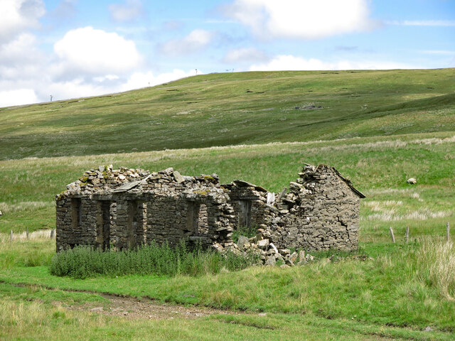
Historically, Allen's Cleugh has played a significant role in the local community. The valley was once home to a thriving mining industry, and remnants of old mine workings can still be seen today. The area is also dotted with ancient ruins and archaeological sites, providing a glimpse into its rich history.

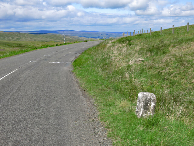
Visitors to Allen's Cleugh can expect to find a peaceful and idyllic retreat, far removed from the hustle and bustle of modern life. Whether it's a leisurely stroll through the countryside or a challenging hike up the hills, this valley offers an unforgettable experience for all who venture into its enchanting embrace.

If you have any feedback on the listing, please let us know in the comments section below.

Allen's Cleugh Images

Images are sourced within 2km of 54.723126/-2.369926 or Grid Reference NY7636. Thanks to Geograph Open Source API. All images are credited.

Barn and bridge over the South Tyne
Fence off tree planting area above the South Tyne
Bridge over a stream on the South Tyne trail track
Old makeshift incline on the spoil heap for an adit on Calvert Burn
Adit on Calvert Burn
Stone markers at the source of the R South Tyne
Crook Burn (2)
Crook Burn (2)
Moorland around John's Burn Looking WSW towards (left to right) Great Dun Fell, Little Dun Fell and Cross Fell - the western horizon that dominates this area of moorland at the head of the River South Tyne.
Moorland around John's Burn
Looking WSW towards (left to right) Great Dun Fell, Little Dun Fell and Cross Fell - the western horizon that dominates this area of moorland at the head of the River South Tyne.
Slack's Rigg
Slack's Rigg
Old milestone by the B6277 north west of Crookburn Bridge See <a href="https://www.geograph.org.uk/photo/5622937">NY7736 : Old Milestone by the B6277, below Burnhope Seat</a> taken in 2202; since then, the milestone has lost most of its white paint, and only the horizontal top line of the benchmark is visible. 
The location of the milestone is shown in <a href="https://www.geograph.org.uk/photo/7548976">NY7736 : The B6277 north west of Crookburn Bridge and Slack's Rigg</a> and <a href="https://www.geograph.org.uk/photo/7548979">NY7736 : The B6277 north west of Crookburn Bridge</a>.
Old milestone by the B6277 north west of Crookburn Bridge
See NY7736 : Old Milestone by the B6277, below Burnhope Seat taken in 2202; since then, the milestone has lost most of its white paint, and only the horizontal top line of the benchmark is visible. The location of the milestone is shown in NY7736 : The B6277 north west of Crookburn Bridge and Slack's Rigg and NY7736 : The B6277 north west of Crookburn Bridge.
The B6277 north west of Crookburn Bridge and Slack's Rigg Shows the location of the <a href="https://www.geograph.org.uk/photo/7548967">NY7736 : Old milestone by the B6277 north west of Crookburn Bridge</a>; Cross Fell on the far horizon (half left).
The B6277 north west of Crookburn Bridge and Slack's Rigg
Shows the location of the NY7736 : Old milestone by the B6277 north west of Crookburn Bridge; Cross Fell on the far horizon (half left).
The B6277 north west of Crookburn Bridge Shows the location of the <a href="https://www.geograph.org.uk/photo/7548967">NY7736 : Old milestone by the B6277 north west of Crookburn Bridge</a>.
The B6277 north west of Crookburn Bridge
The upper valley of Clargill Burn
Old lead mine building by Clargill Burn The building had most of its stone slab roof in 2005 <a href="https://www.geograph.org.uk/photo/86968">NY7736 : Derelict hut next to Clargill Burn</a> (photographed by Andrew Smith; by 2017, much of the north end had collapsed <a href="https://www.geograph.org.uk/photo/5407950">NY7736 : Hiddenhole Lead Mine (disused)</a> (photographed by Matthew Hatton). Although there's now a 'B' road only 200 metres away, this is a desolate place, some 580 metres (1,900 ft) above sea level.
Old lead mine building by Clargill Burn
The building had most of its stone slab roof in 2005 NY7736 : Derelict hut next to Clargill Burn (photographed by Andrew Smith; by 2017, much of the north end had collapsed NY7736 : Hiddenhole Lead Mine (disused) (photographed by Matthew Hatton). Although there's now a 'B' road only 200 metres away, this is a desolate place, some 580 metres (1,900 ft) above sea level.
Clargill Burn by the former lead mine
Remains of lead mine by Clargill Burn
Old lead mine building by Clargill Burn (2)
Old mine level
Old mine level
Show me another place!

Allen's Cleugh is located at Grid Ref: NY7636 (Lat: 54.723126, Lng: -2.369926)

Administrative County: Cumbria

District: Eden

Police Authority: Cumbria

What 3 Words

///drag.unscathed.airfields. Near Alston, Cumbria

Nearby Locations

Allen's Cleugh

Related Wikis

Related Videos

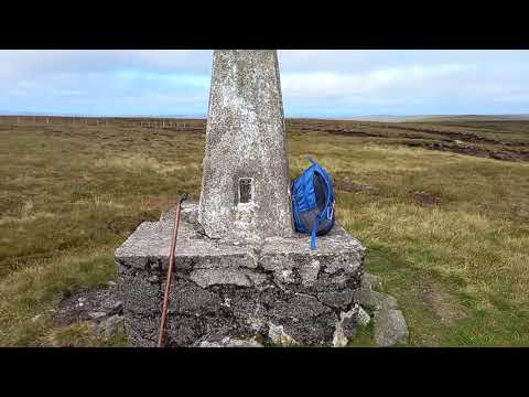
Walking works Wonders. Burnhope Seat. 26/8/2021

Climb up the highest point in historic County Durham.

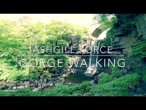
Ashgill force gorge walking

Been wanting to do this for a while now, finally got the chance to do this little gorge walk in some spectacular scenery.

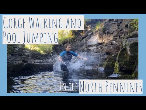
Explore a Gorge in the North Pennines with us!

We've been walking this place for years, and only recently when scouring maps did I notice there was a gorge here! So I grabbed ...

Nearby Amenities

Located within 500m of 54.723126,-2.369926
Historic: mine_shaft
Note: needs confirming that this is not a natural sink-hole.
Source: Bing
Lat/Long: 54.7196138/-2.3731766
Historic: mine_shaft
Note: needs confirming that this is not a natural sink-hole.
Source: Bing
Lat/Long: 54.7192857/-2.3735199
Historic: mine_shaft
Note: needs confirming that this is not a natural sink-hole.
Source: Bing
Lat/Long: 54.7197443/-2.3727153
Historic: mine_shaft
Note: needs confirming that this is not a natural sink-hole.
Source: Bing
Lat/Long: 54.7197997/-2.3735307
Abandoned: yes
Historic: mine_shaft
Lat/Long: 54.7266816/-2.3736582
Natural: sinkhole
Lat/Long: 54.7228162/-2.3625929
Natural: sinkhole
Lat/Long: 54.7246312/-2.36266
Natural: sinkhole
Lat/Long: 54.7211082/-2.3723592
Natural: sinkhole
Lat/Long: 54.7207597/-2.3721039
Natural: sinkhole
Lat/Long: 54.7208468/-2.3732528
Natural: sinkhole
Lat/Long: 54.720038/-2.3726648
Natural: sinkhole
Sinkhole: ponor
Lat/Long: 54.7254642/-2.3735992
Natural: sinkhole
Sinkhole: ponor
Lat/Long: 54.7256055/-2.3739165
Natural: sinkhole
Sinkhole: ponor
Lat/Long: 54.7242007/-2.372877
Natural: sinkhole
Sinkhole: ponor
Lat/Long: 54.7241518/-2.3727289
Natural: sinkhole
Sinkhole: ponor
Lat/Long: 54.7240873/-2.3725627
The data included in this document is from www.openstreetmap.org. The data is made available under ODbL.

Have you been to Allen's Cleugh?

Leave your review of Allen's Cleugh below (or comments, questions and feedback).