Broad Dingle

Valley in Worcestershire Malvern Hills

England

Broad Dingle

Weir on the River Teme, Knightwick View from Knightsford Bridge.
Weir on the River Teme, Knightwick Credit: JThomas

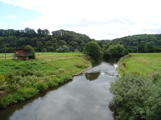
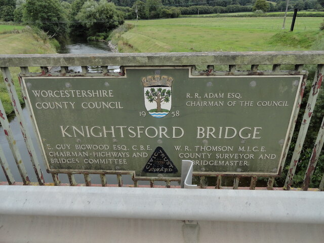
Broad Dingle is a picturesque valley located in Worcestershire, England. Situated between the towns of Tenbury Wells and Ludlow, it is renowned for its stunning natural beauty and tranquil atmosphere. The valley is carved out by the meandering flow of the River Teme, which adds to its charm and allure.

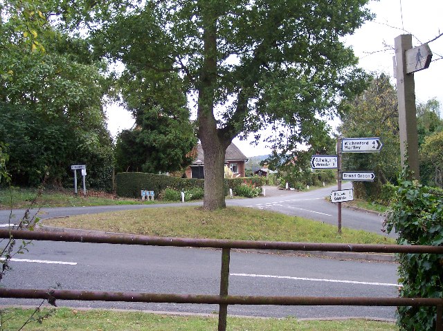
Surrounded by rolling hills and lush greenery, Broad Dingle offers breathtaking views from every angle. The valley is home to a diverse range of flora and fauna, including ancient woodland, wildflowers, and various bird species. It is a haven for nature enthusiasts and hikers, who can explore the numerous walking trails that wind through the valley.

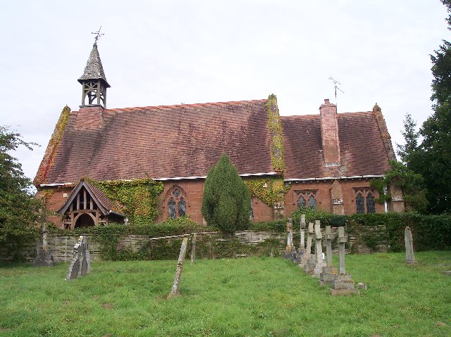
Broad Dingle also boasts a rich history, with evidence of human habitation dating back to prehistoric times. In the nearby vicinity, there are several archaeological sites, including burial mounds and Iron Age hillforts, which provide insight into the area's ancient past.

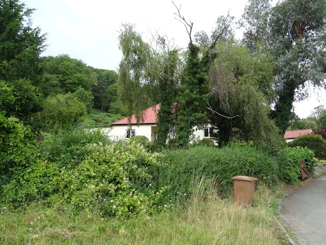
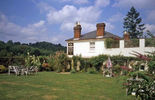
The valley has a small, close-knit community, with a handful of houses scattered across the landscape. It offers a peaceful retreat for those seeking a slower pace of life or a weekend getaway from nearby urban areas. The tranquility of the valley is often interrupted only by the gentle sound of the river flowing and the chorus of birdsong.

Overall, Broad Dingle is a hidden gem in Worcestershire, offering visitors a chance to immerse themselves in the beauty of nature and experience a true sense of serenity.

If you have any feedback on the listing, please let us know in the comments section below.

Broad Dingle Images

Images are sourced within 2km of 52.187012/-2.3728009 or Grid Reference SO7454. Thanks to Geograph Open Source API. All images are credited.

Weir on the River Teme, Knightwick View from Knightsford Bridge.
Weir on the River Teme, Knightwick
View from Knightsford Bridge.
A44, Knightsford Bridge Towards Worcester.
A44, Knightsford Bridge
Towards Worcester.
Track (footpath) off the A44, Darbys Green
Shortlands House on the A44, Darbys Green.
Shortlands
House on the A44, Darbys Green.
Houses, Doddenham
Houses, Doddenham
Band in the A44, Doddenham Towards Worcester.
Band in the A44, Doddenham
Towards Worcester.
Footpath off the A44 south of Doddenham
Orchard near the River Teme
A44 towards Worcester
The Royal Oak, Broadwas On the A44.
The Royal Oak, Broadwas
On the A44.
Sign for the Royal Oak, Broadwas
Direction Sign – Signpost on Easinghope Lane in Doddenham Located in the village on the north side of the T junction with Easinghope Lane, Doddenham parish. 1 modern arm and pawn finial. 

Milestone Society National ID: WO_SO7556
Direction Sign – Signpost on Easinghope Lane in Doddenham
Located in the village on the north side of the T junction with Easinghope Lane, Doddenham parish. 1 modern arm and pawn finial. Milestone Society National ID: WO_SO7556
Old Bridge Marker on the A44 Bridge Marker fixed to the south parapet of Knightsford Bridge, River Teme, on the A44. On the boundary of Knightwick and Doddenham parishes. See also <a title="https://www.geograph.org.uk/photo/554531" href="https://www.geograph.org.uk/photo/554531">Link</a>.

Milestone Society National ID: WO_KNIDOD01br
Old Bridge Marker on the A44
Bridge Marker fixed to the south parapet of Knightsford Bridge, River Teme, on the A44. On the boundary of Knightwick and Doddenham parishes. See also Link. Milestone Society National ID: WO_KNIDOD01br
Broadwas - St Mary Magdalene's Church A Grade II* Listed church. Late 12th century origins with later additions. Restored by Charles Hodgson Fowler c1885. A notable feature is the timber framed weatherboarded bell turret.
Broadwas - St Mary Magdalene's Church
A Grade II* Listed church. Late 12th century origins with later additions. Restored by Charles Hodgson Fowler c1885. A notable feature is the timber framed weatherboarded bell turret.
Broadwas - St Mary Magdalene's Church An interior view looking into the timber framed, weatherboarded bell turret at the far end.
Broadwas - St Mary Magdalene's Church
An interior view looking into the timber framed, weatherboarded bell turret at the far end.
Broadwas - St Mary Magdalene's Church The interior of the late 12th century Grade II* Listed church.
Broadwas - St Mary Magdalene's Church
The interior of the late 12th century Grade II* Listed church.
Garden at the Fox & Hounds Inn Excellent country pub with a good-sized garden and children's play area for the summer months.
Garden at the Fox & Hounds Inn
Excellent country pub with a good-sized garden and children's play area for the summer months.
Show me another place!

Broad Dingle is located at Grid Ref: SO7454 (Lat: 52.187012, Lng: -2.3728009)

Administrative County: Worcestershire

District: Malvern Hills

Police Authority: West Mercia

What 3 Words

///arena.newspaper.equal. Near Lower Broadheath, Worcestershire

Related Wikis

Knightwick railway station

Knightwick railway station was a station in Knightwick, Worcestershire, England. The station was opened on 2 May 1874 and closed on 7 September 1964....

Lulsley

Lulsley is a village and civil parish in the Malvern Hills District of the county of Worcestershire, England, UK. == History == Lulsley was in the upper...

Osebury Rock

Osebury Rock (also known as Oseberrow or Rosebury) is a cliff on the River Teme near Lulsley in Worcestershire, England where fragmentary rocks of the...

Broadwas

Broadwas, or Broadwas-on-Teme, is a village and civil parish (with Cotheridge) in the Malvern Hills district of Worcestershire, England. According to...

Nearby Amenities

Located within 500m of 52.187012,-2.3728009
Barrier: cattle_grid
Foot: yes
Lat/Long: 52.1853004/-2.3691588
Power: pole
Lat/Long: 52.190622/-2.3686905
Power: pole
Lat/Long: 52.1909274/-2.3698348
Power: pole
Lat/Long: 52.1911341/-2.3706009
Power: pole
Lat/Long: 52.1914507/-2.3717918
Power: pole
Lat/Long: 52.1888403/-2.37878
Old house Lulsley
Power: pole
Transformer: distribution
Voltage Primary: 11000
Lat/Long: 52.1874732/-2.3763969
Power: pole
Lat/Long: 52.1879977/-2.3772141
Power: pole
Lat/Long: 52.1884054/-2.3778832
Ravenhall Farm
Power: pole
Transformer: distribution
Voltage Primary: 11000
Lat/Long: 52.1888152/-2.3779935
Power: pole
Lat/Long: 52.1894023/-2.3776155
Power: pole
Lat/Long: 52.1899391/-2.3769732
Power: pole
Lat/Long: 52.1904026/-2.3764157
Power: pole
Lat/Long: 52.1907851/-2.3759432
Power: pole
Lat/Long: 52.1828495/-2.3701769
Power: pole
Lat/Long: 52.1834769/-2.3700146
Finches Nest
Power: pole
Transformer: distribution
Voltage Primary: 11000
Lat/Long: 52.1843477/-2.3691885
Power: pole
Lat/Long: 52.1842926/-2.3684013
Haley Cottage
Power: pole
Transformer: distribution
Voltage Primary: 11000
Lat/Long: 52.187348/-2.3681358
Power: pole
Lat/Long: 52.1866627/-2.3678662
Power: pole
Lat/Long: 52.1860477/-2.3676047
Power: pole
Lat/Long: 52.1853459/-2.3676305
Power: pole
Lat/Long: 52.1848328/-2.3676494
Power: pole
Lat/Long: 52.1842449/-2.3676711
The data included in this document is from www.openstreetmap.org. The data is made available under ODbL.

Have you been to Broad Dingle?

Leave your review of Broad Dingle below (or comments, questions and feedback).