Cat's Cleugh

Valley in Cumberland Eden

England

Cat's Cleugh

Long Cross
Long Cross Credit: Mike Quinn

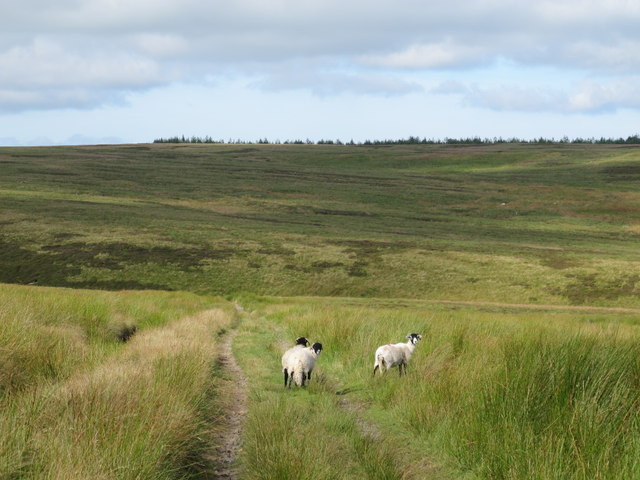
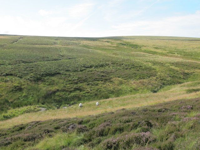
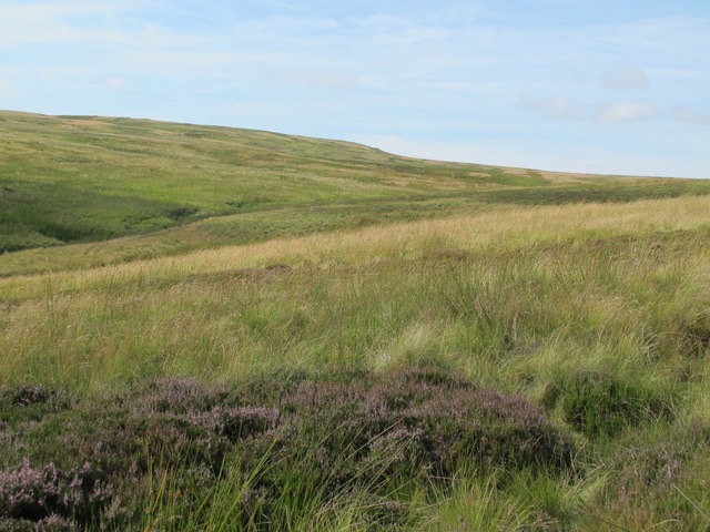
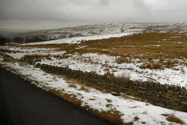
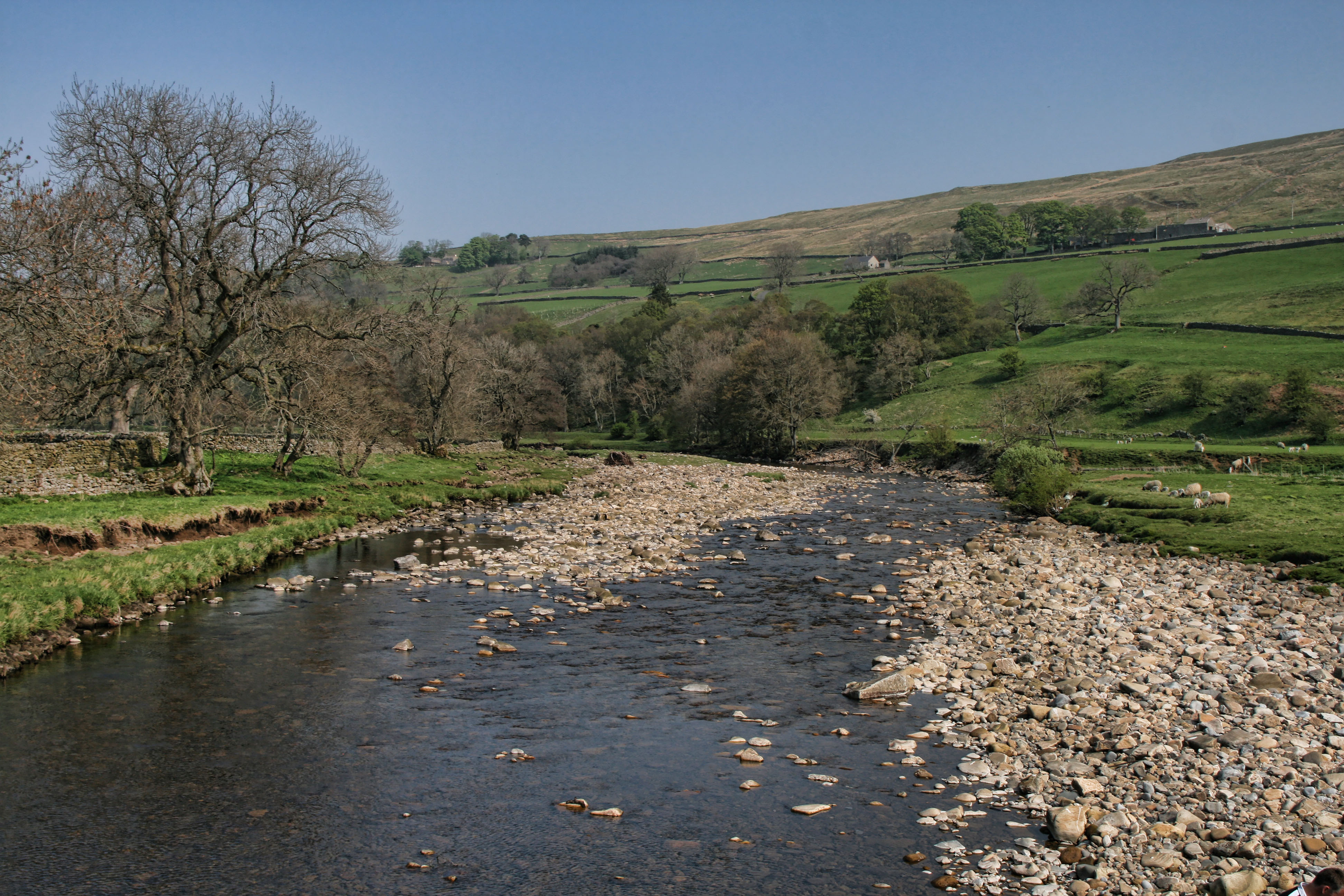
Cat's Cleugh is a picturesque valley located in the county of Cumberland, England. Situated in the northern part of the county, it is renowned for its natural beauty and tranquil surroundings. Nestled between rolling hills and lush greenery, Cat's Cleugh offers visitors a peaceful retreat from the hustle and bustle of city life.

The valley is characterized by a meandering river that flows through its heart, adding to its serene ambiance. The river is bordered by dense woodlands, creating a haven for a variety of wildlife and providing a delightful sight for nature enthusiasts. The valley is particularly popular among hikers and walkers who can explore the numerous trails that crisscross the area.

Cat's Cleugh also boasts a rich history, with remnants of ancient settlements and structures scattered throughout its landscape. Archaeological excavations have revealed evidence of human habitation dating back thousands of years, including the remains of prehistoric dwellings and burial sites.

In addition to its natural and historical attractions, Cat's Cleugh is home to a small community of residents who reside in charming cottages and farmhouses. The local population is known for their warm hospitality and welcoming nature, ensuring a pleasant experience for visitors.

Overall, Cat's Cleugh is a hidden gem in the Cumberland region, offering an idyllic escape for those seeking a peaceful retreat in the heart of nature.

If you have any feedback on the listing, please let us know in the comments section below.
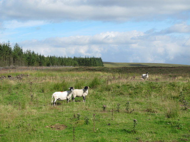
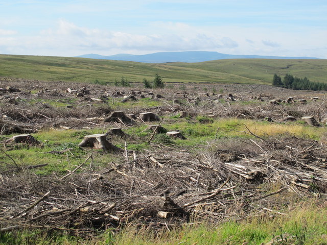
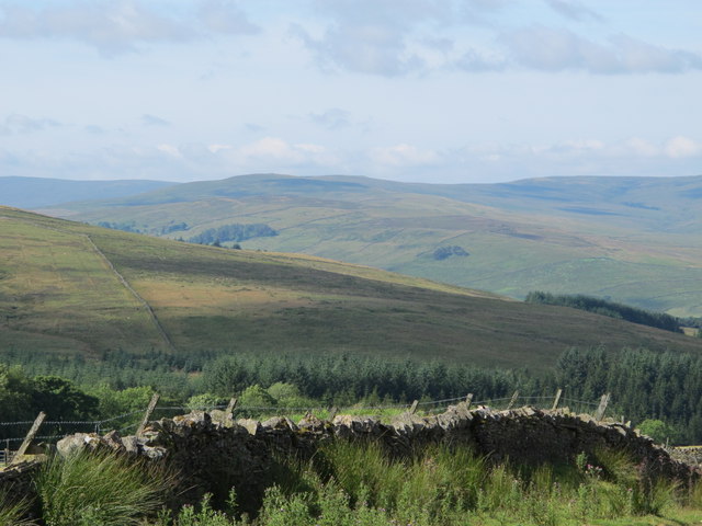
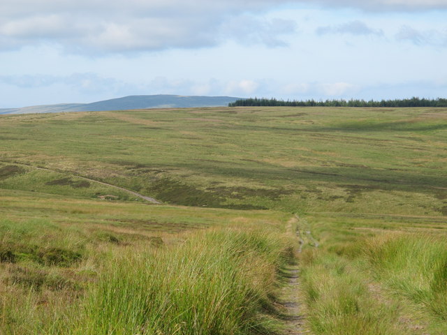
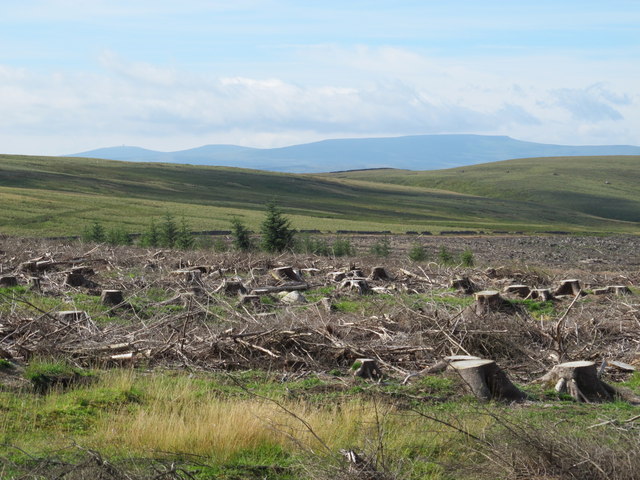
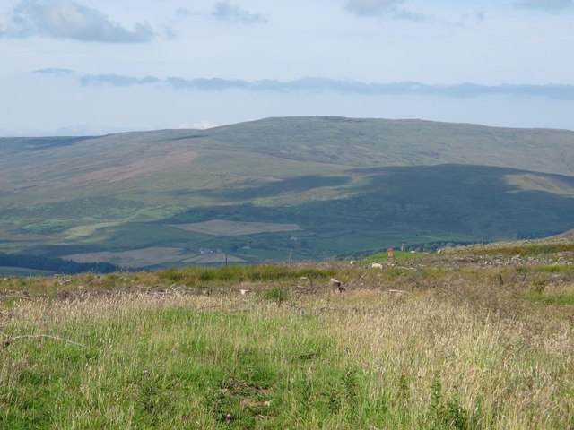
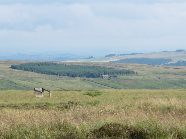
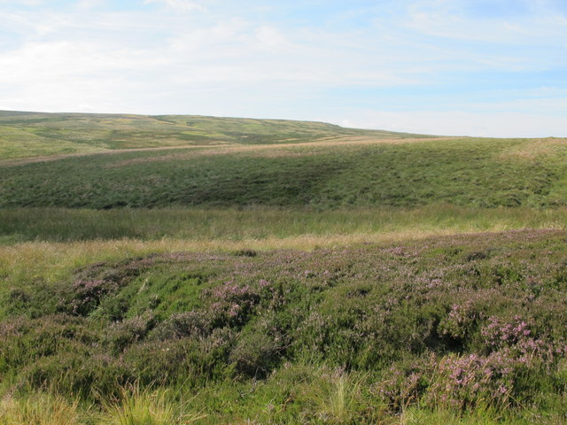
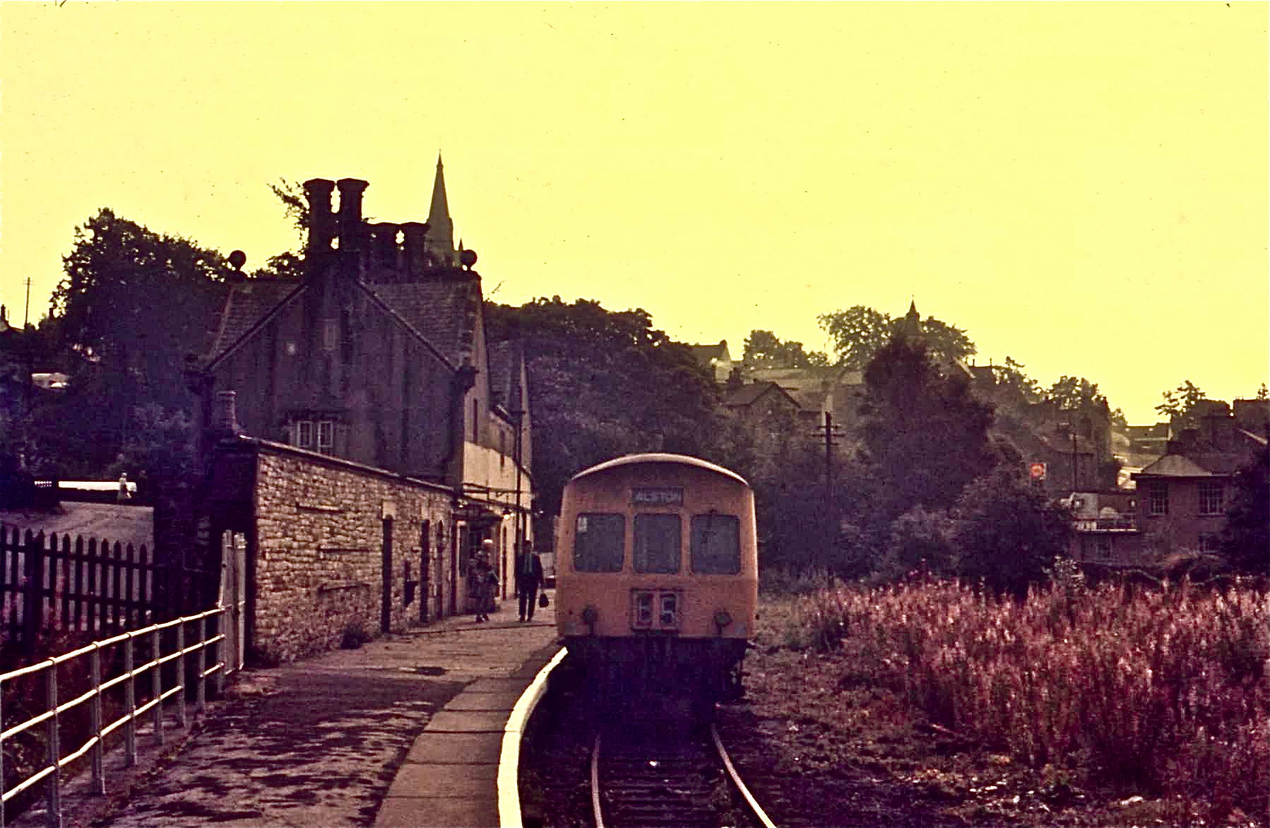
Cat's Cleugh Images

Images are sourced within 2km of 54.83835/-2.4121464 or Grid Reference NY7349. Thanks to Geograph Open Source API. All images are credited.

Long Cross
Long Cross
Felled plantation west of Long Cross Looking towards Great Dun Fell, Little Dun Fell and Cross Fell on the far horizon.
Felled plantation west of Long Cross
Looking towards Great Dun Fell, Little Dun Fell and Cross Fell on the far horizon.
View across Clargillhead
White Hill and the cleugh of Sandyford Sike
Long Cross (2) Looking towards Hard Rigg in <a href="https://www.geograph.org.uk/gridref/NY7448">NY7448</a>. A "reverse" view is shown in <a href="https://www.geograph.org.uk/photo/2666502">NY7448 : Hard Rigg above Long Cross</a>.
Long Cross (2)
Looking towards Hard Rigg in NY7448. A "reverse" view is shown in NY7448 : Hard Rigg above Long Cross.
Ouston Fell around Sandy Ford
High Banks Moss
High Banks Moss
The headwaters of Sandyford Sike
Long Moss Looking towards Hard Rigg in <a href="https://www.geograph.org.uk/gridref/NY7448">NY7448</a> / <a href="https://www.geograph.org.uk/gridref/NY7548">NY7548</a>.
Long Moss
Looking towards Hard Rigg in NY7448 / NY7548.
Ouston Fell east of Long Cross On the far horizon (left) are the <a href="https://www.geograph.org.uk/photo/598415">NY8053 : The Allendale lead smelting flue chimneys</a>.
Ouston Fell east of Long Cross
On the far horizon (left) are the NY8053 : The Allendale lead smelting flue chimneys.
Gatepost at Long Cross The path from Clargillhead to West Allendale via Long Cross is part of Isaac's Tea Trail <span class="nowrap"><a title="http://www.northumberlandlife.org/teatrail/default.asp" rel="nofollow ugc noopener" href="http://www.northumberlandlife.org/teatrail/default.asp">Link</a><img style="margin-left:2px;" alt="External link" title="External link - shift click to open in new window" src="https://s1.geograph.org.uk/img/external.png" width="10" height="10"/></span>.
Gatepost at Long Cross
The path from Clargillhead to West Allendale via Long Cross is part of Isaac's Tea Trail LinkExternal link.
Felled plantation west of Long Cross (2) Looking towards Great Dun Fell, Little Dun Fell and Cross Fell.
Felled plantation west of Long Cross (2)
Looking towards Great Dun Fell, Little Dun Fell and Cross Fell.
Moorland and felled plantation above Clargillhead Looking across the valley of the River South Tyne towards Grey Nag in <a href="https://www.geograph.org.uk/gridref/NY6647">NY6647</a>.
Moorland and felled plantation above Clargillhead
Looking across the valley of the River South Tyne towards Grey Nag in NY6647.
Ouston Fell west of Sandy Ford Looking across the valley of Whitewalls Burn towards Herd's House and the square-shaped plantation beyond in <a href="https://www.geograph.org.uk/gridref/NY7652">NY7652</a>.
Ouston Fell west of Sandy Ford
Looking across the valley of Whitewalls Burn towards Herd's House and the square-shaped plantation beyond in NY7652.
Long Moss (2) Looking towards Hard Rigg in <a href="https://www.geograph.org.uk/gridref/NY7448">NY7448</a> / <a href="https://www.geograph.org.uk/gridref/NY7548">NY7548</a>.
Long Moss (2)
Looking towards Hard Rigg in NY7448 / NY7548.
Eroded rock near Sandy Ford The location of the rock is shown in <a href="https://www.geograph.org.uk/photo/3307440">NY7550 : White Hill and the cleugh of Sandyford Sike</a>.
Eroded rock near Sandy Ford
The location of the rock is shown in NY7550 : White Hill and the cleugh of Sandyford Sike.
High Banks Moss and the cleugh of Sandyford Sike
Ayle Common Looking to the west from the A686 over Alston Moor.
Ayle Common
Looking to the west from the A686 over Alston Moor.
Show me another place!

Cat's Cleugh is located at Grid Ref: NY7349 (Lat: 54.83835, Lng: -2.4121464)

Administrative County: Cumbria

District: Eden

Police Authority: Cumbria

What 3 Words

///rely.slices.televise. Near Alston, Cumbria

Related Wikis

Nearby Amenities

Located within 500m of 54.83835,-2.4121464
Power: pole
Lat/Long: 54.8418303/-2.4160324
Power: pole
Lat/Long: 54.8408942/-2.4163838
Power: pole
Lat/Long: 54.8401049/-2.4182222
Power: pole
Lat/Long: 54.8407204/-2.4169677
Power: pole
Lat/Long: 54.8413345/-2.4149932
Power: pole
Lat/Long: 54.8417605/-2.4136175
Power: pole
Lat/Long: 54.8422136/-2.4121552
Power: pole
Lat/Long: 54.8424986/-2.411257
The data included in this document is from www.openstreetmap.org. The data is made available under ODbL.

Have you been to Cat's Cleugh?

Leave your review of Cat's Cleugh below (or comments, questions and feedback).