Leasowe
Settlement in Cheshire
England
Leasowe
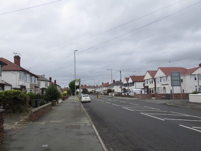
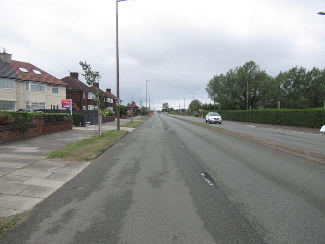
Leasowe is a coastal village located in the Metropolitan Borough of Wirral, in the county of Cheshire, England. Situated on the north-west coast of the Wirral Peninsula, Leasowe offers its residents and visitors a unique blend of natural beauty and urban amenities.
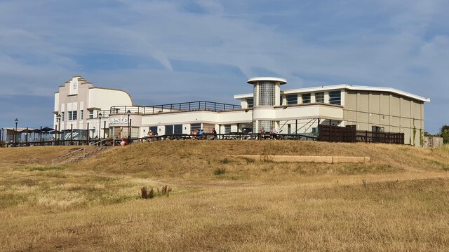
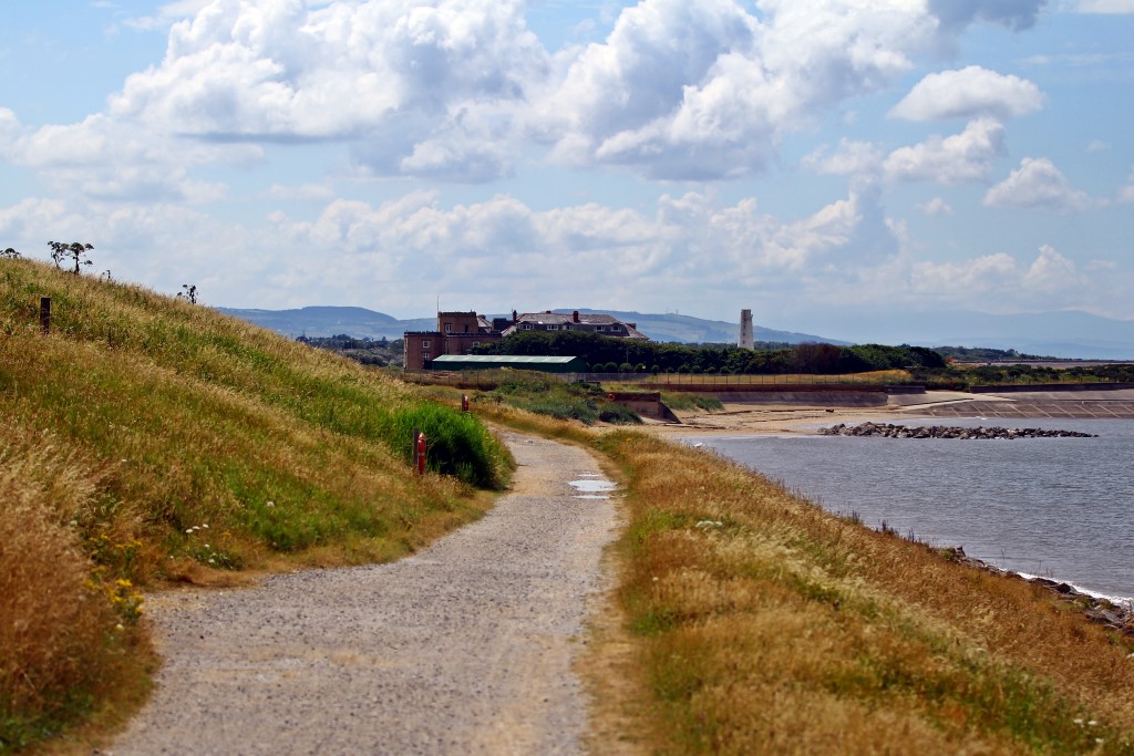
The village is known for its stunning coastline, which features a beautiful sandy beach that stretches for approximately two miles. This beach, known as Leasowe Bay, is a popular destination for locals and tourists alike, offering picturesque views and a tranquil atmosphere.
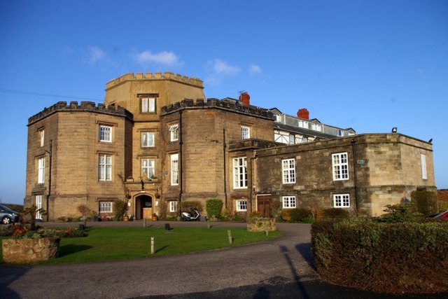
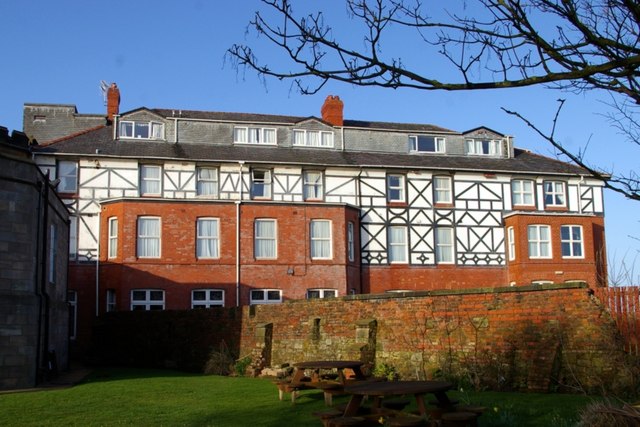
Leasowe is also home to several notable landmarks, including Leasowe Castle. Built in the late 16th century, this historic castle has been converted into a luxury hotel and is a popular venue for weddings and events. The castle is surrounded by expansive grounds, which provide opportunities for leisurely walks and peaceful picnics.
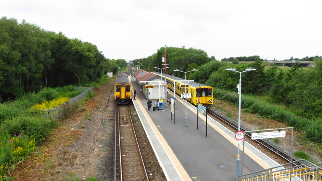
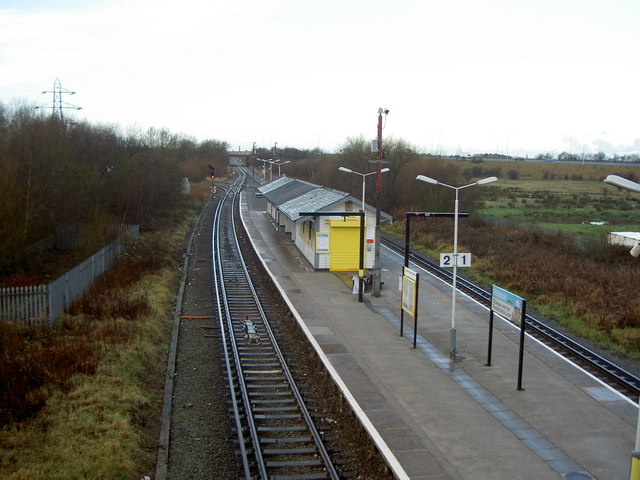
The village is well-connected to nearby towns and cities, with excellent transport links. The Leasowe railway station provides easy access to Liverpool and other destinations, making it an ideal location for commuters.
In terms of amenities, Leasowe offers a range of facilities to cater to the needs of its residents. There are several schools in the area, ensuring that families have access to quality education. Additionally, the village boasts a variety of shops, restaurants, and leisure facilities, providing everything required for a comfortable and convenient lifestyle.
Overall, Leasowe is a charming coastal village that combines natural beauty with modern amenities. Its stunning coastline, historic landmarks, and excellent transport links make it a desirable place to live or visit in Cheshire.
If you have any feedback on the listing, please let us know in the comments section below.
Leasowe Images
Images are sourced within 2km of 53.415385/-3.092289 or Grid Reference SJ2791. Thanks to Geograph Open Source API. All images are credited.


Leasowe is located at Grid Ref: SJ2791 (Lat: 53.415385, Lng: -3.092289)
Unitary Authority: Wirral
Police Authority: Merseyside
What 3 Words
///fake.cheek.zeal. Near Wallasey, Merseyside
Nearby Locations
Related Wikis
The Kingsway Academy
The Kingsway Academy (formerly Wallasey School) was a coeducational secondary school and sixth form located in Leasowe in the English county of Merseyside...
Leasowe
Leasowe () is a village in the Metropolitan Borough of Wirral in Merseyside, England. Historically within Cheshire (ceased to be in 1974), Leasowe was...

New Brighton F.C. (rugby union)
New Brighton Football Club (Rugby Union) are a rugby union team based in Moreton, Merseyside, UK. They currently play in the ADM Lancashire Championship...

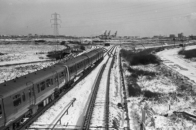
Leasowe railway station
Leasowe railway station is a station serving the village of Leasowe, in Merseyside, England. It lies on the West Kirby branch of the Wirral Line, part...
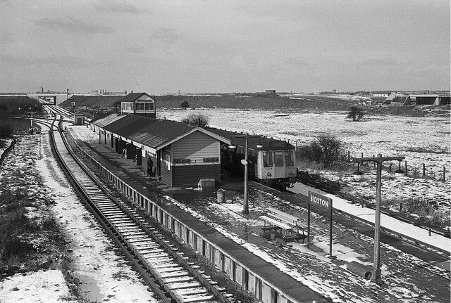
Bidston railway station
Bidston railway station serves the village of Bidston, Merseyside, England. The station is situated at a junction of the West Kirby branch of the Wirral...

Wallasey (UK Parliament constituency)
Wallasey is a constituency in Merseyside created in 1918 and represented in the House of Commons of the UK Parliament since 1992 by Angela Eagle, a member...
Ashville F.C.
Ashville Football Club is a football club based in Wallasey, England. They are currently members of the North West Counties League Division One South and...

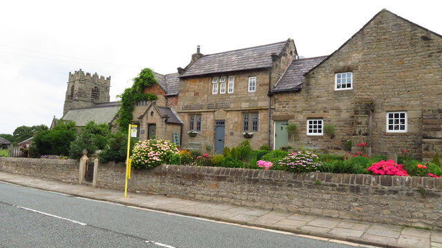
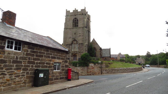
St Oswald's Church, Bidston
St Oswald's Church is in Bidston, an area of Birkenhead, Wirral, Merseyside, England. It is recorded in the National Heritage List for England as a designated...
Nearby Amenities
Located within 500m of 53.415385,-3.092289Have you been to Leasowe?
Leave your review of Leasowe below (or comments, questions and feedback).