Combe
Valley in Yorkshire South Lakeland
England
Combe
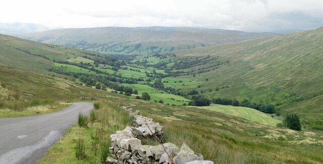
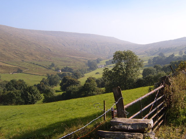
Combe, Yorkshire (Valley) is a picturesque village located in the heart of the Yorkshire Dales National Park in northern England. Nestled within a secluded valley, the village is surrounded by rolling hills, lush green meadows, and meandering streams. Combe is known for its stunning natural beauty and tranquil atmosphere, making it a popular destination for nature lovers, hikers, and those seeking a peaceful retreat.
The village itself is small, with a population of around 300 residents. It is characterized by traditional stone-built houses, quaint cottages, and charming gardens. The local community is close-knit and welcoming, with a strong sense of pride in their village.
One of the main attractions in Combe is its beautiful walking trails, which offer breathtaking views of the surrounding countryside. The nearby River Wharfe, which flows through the village, provides opportunities for fishing and boating.
Combe is also home to a few local businesses, including a small grocery store, a cozy pub, and a charming tearoom. These establishments provide essential services and opportunities for visitors to relax and enjoy some local cuisine.
The village hosts a variety of annual events that showcase its rich cultural heritage, such as traditional music festivals and agricultural shows. These events attract both locals and tourists, adding to the vibrancy of the community.
In conclusion, Combe, Yorkshire (Valley) offers a unique blend of natural beauty, community spirit, and cultural heritage. It is a place where visitors can escape the hustle and bustle of city life and immerse themselves in the serenity of the Yorkshire Dales.
If you have any feedback on the listing, please let us know in the comments section below.
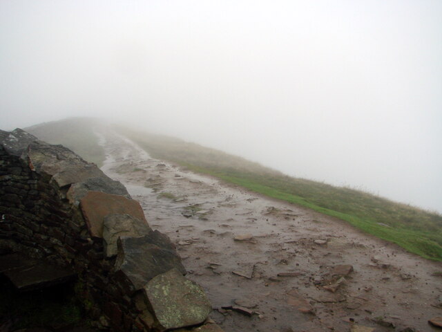
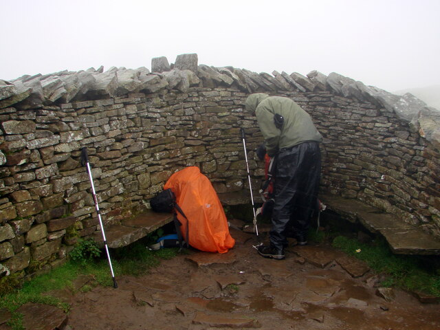
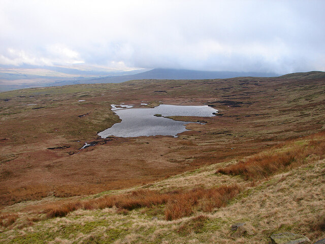
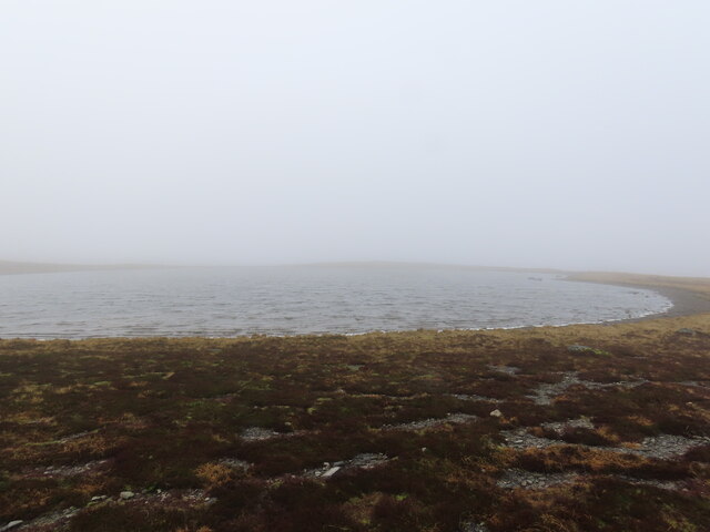
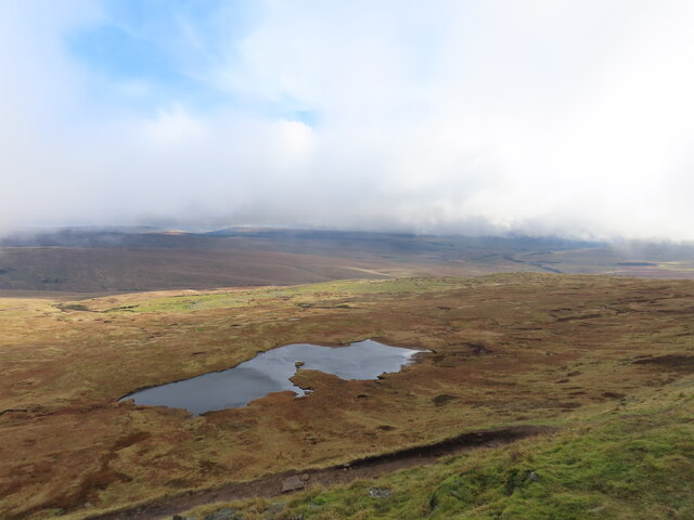
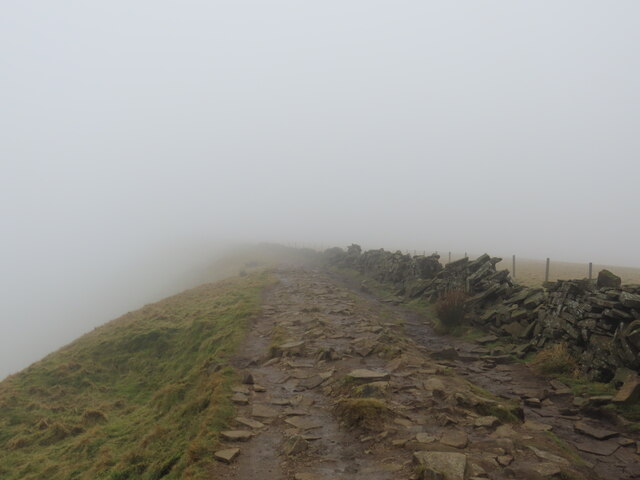
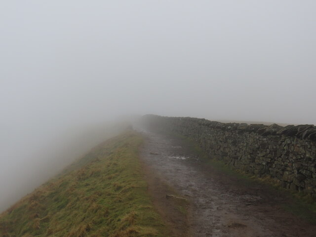
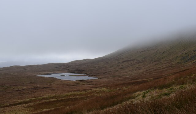
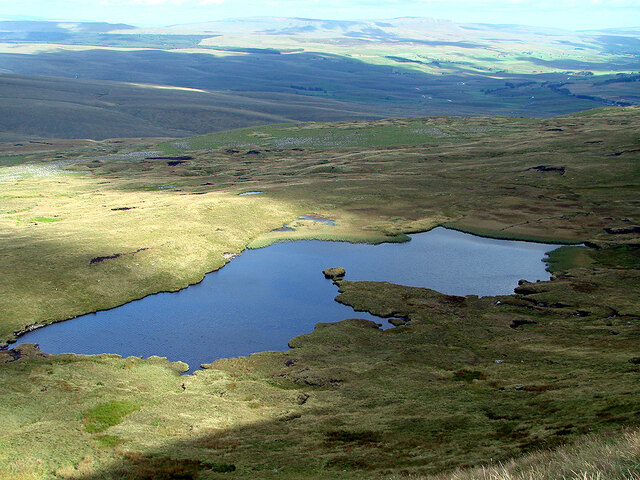
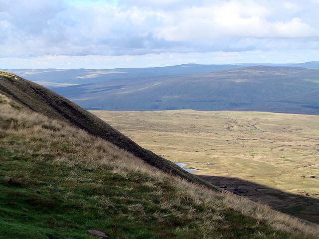
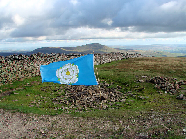
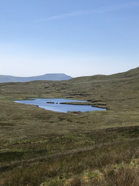
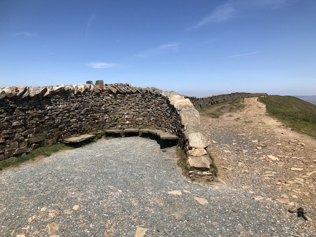
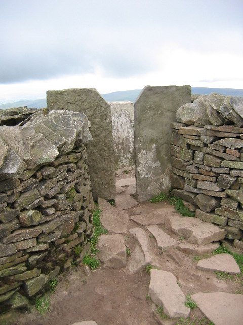
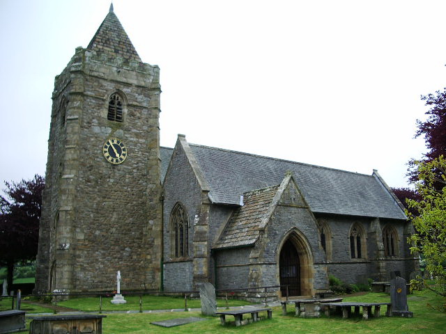
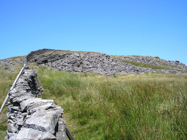
Combe Images
Images are sourced within 2km of 54.236486/-2.4176293 or Grid Reference SD7282. Thanks to Geograph Open Source API. All images are credited.


Combe is located at Grid Ref: SD7282 (Lat: 54.236486, Lng: -2.4176293)
Division: West Riding
Administrative County: Cumbria
District: South Lakeland
Police Authority: Cumbria
What 3 Words
///sheds.technical.footsteps. Near Ingleton, North Yorkshire
Nearby Locations
Related Wikis

Whernside
Whernside is a mountain in the Yorkshire Dales in Northern England. It is the highest of the Yorkshire Three Peaks, the other two being Ingleborough and...
Thornton in Lonsdale
Thornton in Lonsdale is a village and civil parish in the Craven District and ceremonial county of North Yorkshire in England. It is very close to the...

Green Hill (Lancashire)
Green Hill is a mountain or fell in north west England. Its summit is 628 metres (2,060 ft) above sea level. It is located above Cowan Bridge, Lancashire...
Great Coum
Great Coum is a hill in the Yorkshire Dales, but is located in the South Lakeland district of Cumbria. The highest point is in Dent parish, but the boundary...
Nearby Amenities
Located within 500m of 54.236486,-2.4176293Have you been to Combe?
Leave your review of Combe below (or comments, questions and feedback).