Battens Cleugh
Valley in East Lothian
Scotland
Battens Cleugh

Battens Cleugh is a picturesque valley located in East Lothian, Scotland. Nestled amidst rolling hills and lush greenery, this valley is a captivating natural wonder that draws visitors from near and far.
The valley is characterized by its steep sides and the meandering Batten Cleugh Burn that flows through its heart. The burn creates a soothing soundtrack as it cascades over rocks and through small waterfalls, adding to the valley's tranquil ambiance. The surrounding hills provide a stunning backdrop, with their slopes covered in heather and dotted with native Scottish trees.
Battens Cleugh offers a haven for wildlife enthusiasts, as the valley is home to a diverse range of plant and animal species. Birdwatchers can spot various species of birds, including buzzards and kestrels, soaring above the valley. The valley's dense vegetation provides a habitat for small mammals like foxes, badgers, and rabbits, while the burn supports a variety of fish species.
The valley is popular among hikers and nature lovers who are drawn to its natural beauty and peaceful surroundings. There are several walking trails that wind through the valley, offering breathtaking views at every turn. Visitors can explore the valley's hidden nooks and crannies, discovering hidden waterfalls and quiet spots to sit and take in the serene atmosphere.
Battens Cleugh is a true gem in the East Lothian region, offering visitors a chance to escape the hustle and bustle of everyday life and immerse themselves in the beauty of nature. Whether it's a leisurely stroll, a birdwatching expedition, or simply a moment of tranquility, Battens Cleugh has something to offer for everyone.
If you have any feedback on the listing, please let us know in the comments section below.
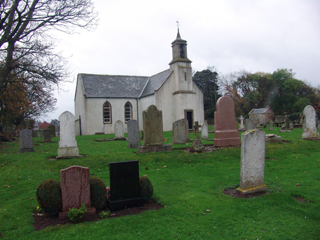
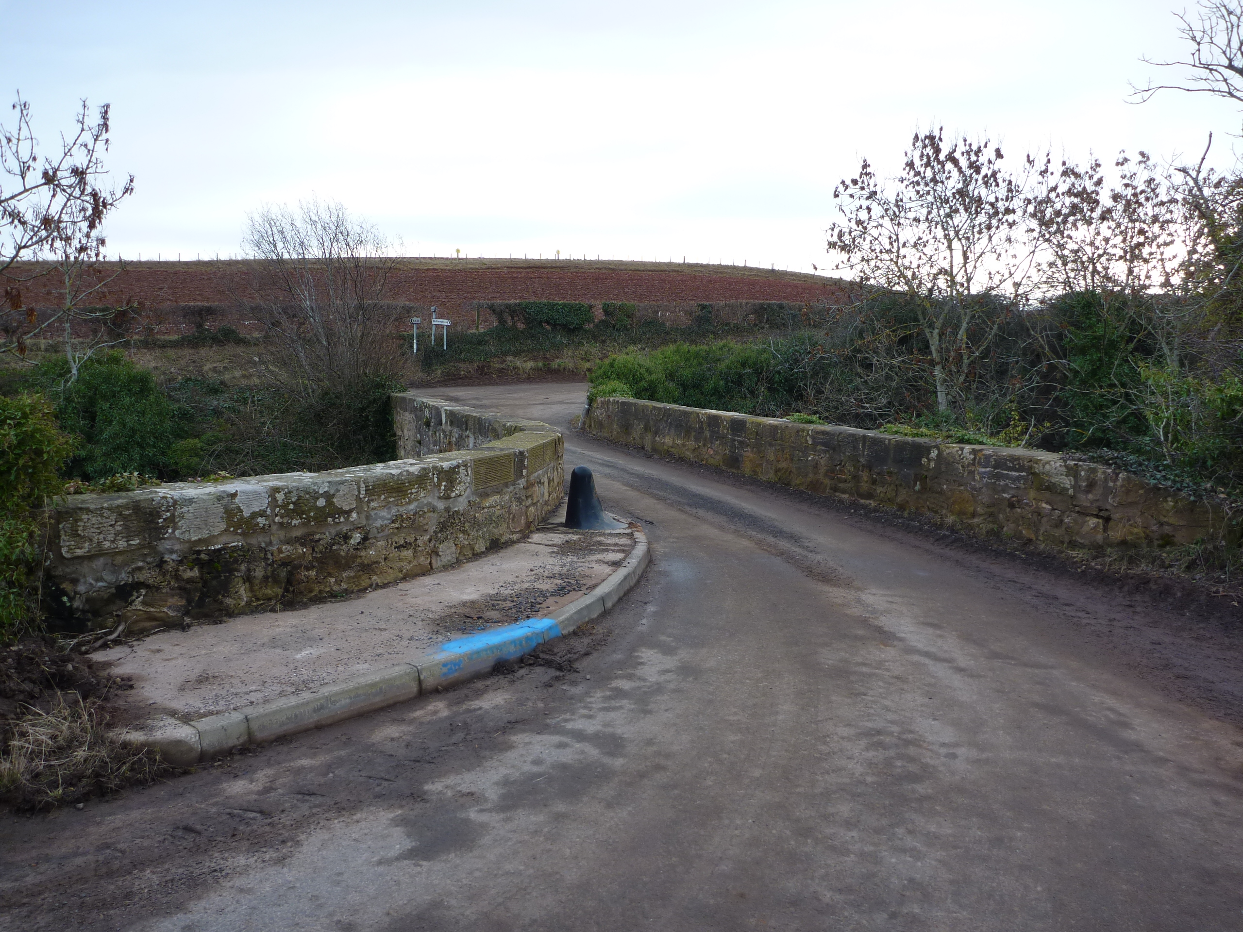
Battens Cleugh Images
Images are sourced within 2km of 55.932217/-2.436541 or Grid Reference NT7271. Thanks to Geograph Open Source API. All images are credited.


Battens Cleugh is located at Grid Ref: NT7271 (Lat: 55.932217, Lng: -2.436541)
Unitary Authority: East Lothian
Police Authority: The Lothians and Scottish Borders
What 3 Words
///tides.tastes.recall. Near Dunbar, East Lothian
Nearby Locations
Related Wikis

Blackcastle Hill, East Lothian
Blackcastle Hill is an Iron Age hill fort south of Innerwick, East Lothian, Scotland. It is near Cocklaw in the Lammermuir Hills at grid reference NT729724...
Oldhamstocks
Oldhamstocks or Aldhamstocks ("old dwelling place") is a civil parish and small village in the east of East Lothian, Scotland, adjacent to the Scottish...
Thornton Castle
Thornton Castle was a Scottish fortress belonging to the Montgomery family and subsequently Lord Home near Innerwick in East Lothian. Thornton Castle...

Innerwick Castle
Innerwick Castle is a ruined castle in East Lothian, Scotland, near the village of Innerwick, 5 miles (8.0 km) from Dunbar, on the Thornton Burn, and overlooking...
Nearby Amenities
Located within 500m of 55.932217,-2.436541Have you been to Battens Cleugh?
Leave your review of Battens Cleugh below (or comments, questions and feedback).