Butler Clough
Valley in Lancashire Ribble Valley
England
Butler Clough
Butler Clough, Lancashire, also known as the Valley, is a picturesque area located in the heart of Lancashire, England. Situated near the town of Burnley, it is a popular destination for nature lovers and outdoor enthusiasts.
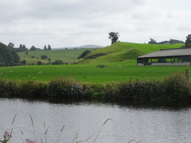
The valley is characterized by its stunning landscape, with rolling hills, lush greenery, and a meandering stream that runs through it. It is surrounded by dense forests and is home to a variety of wildlife, making it a haven for birdwatchers and nature photographers.
Butler Clough is also known for its extensive network of walking trails, which allow visitors to explore the area and take in its natural beauty. The trails range in difficulty, catering to both beginners and experienced hikers. They offer breathtaking views of the valley and provide opportunities for visitors to spot rare plant species that thrive in the area.
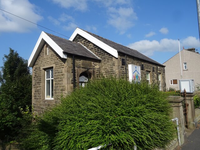
In addition to its natural attractions, Butler Clough is home to several historical landmarks. One notable site is the Clough Head Cottage, a traditional stone building that dates back to the 17th century. The cottage offers a glimpse into the region's past and serves as a reminder of its rich history.
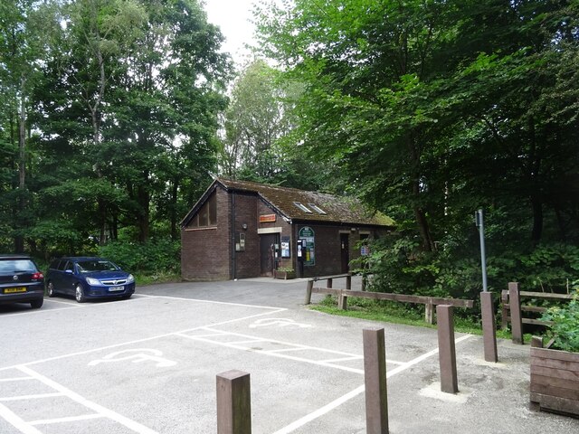
The valley is easily accessible by car, with ample parking available for visitors. There are also picnic areas and benches scattered throughout the valley, providing a perfect spot to relax and enjoy the surroundings.
Overall, Butler Clough, Lancashire, offers a tranquil and idyllic escape from the hustle and bustle of city life. With its beautiful scenery, diverse wildlife, and historical significance, it is a must-visit destination for those seeking a peaceful retreat in the heart of Lancashire.
If you have any feedback on the listing, please let us know in the comments section below.
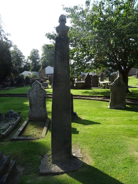
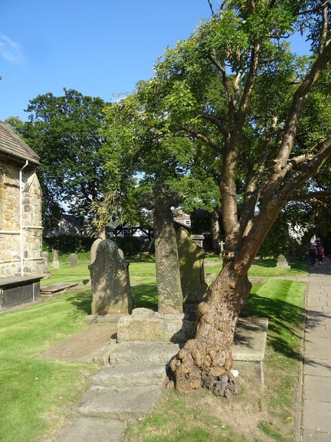
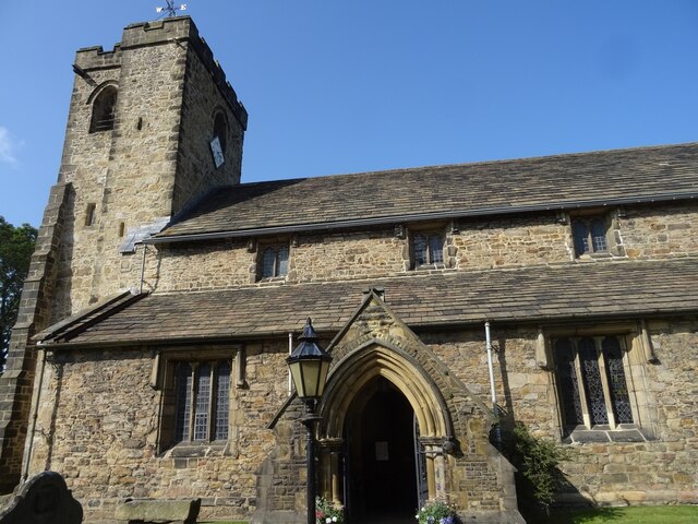
Butler Clough Images
Images are sourced within 2km of 53.813275/-2.4147749 or Grid Reference SD7235. Thanks to Geograph Open Source API. All images are credited.


Butler Clough is located at Grid Ref: SD7235 (Lat: 53.813275, Lng: -2.4147749)
Administrative County: Lancashire
District: Ribble Valley
Police Authority: Lancashire
What 3 Words
///speedily.tilting.blurred. Near Billington, Lancashire
Nearby Locations
Related Wikis

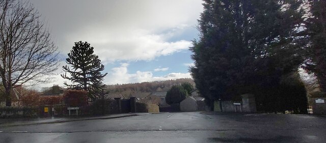
Billington, Lancashire
Billington is a village in the Ribble Valley district of Lancashire, England. It lies between the villages of Whalley and Langho. It forms part of the...

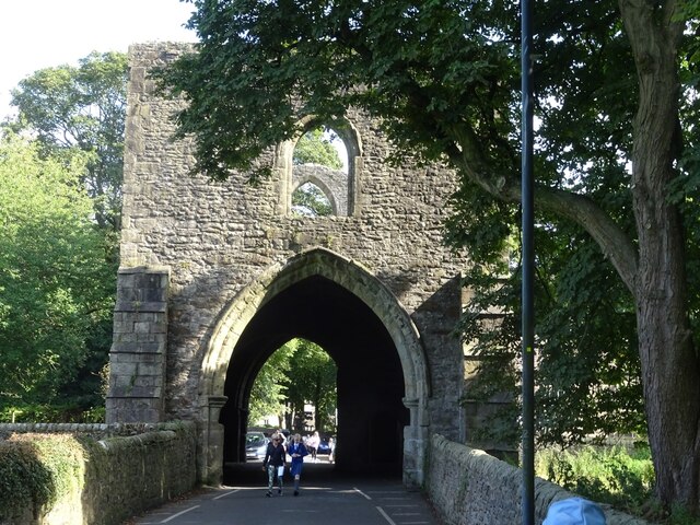
Whalley Abbey
Whalley Abbey is a former Cistercian abbey in Whalley, Lancashire, England. After the dissolution of the monasteries, the abbey was largely demolished...

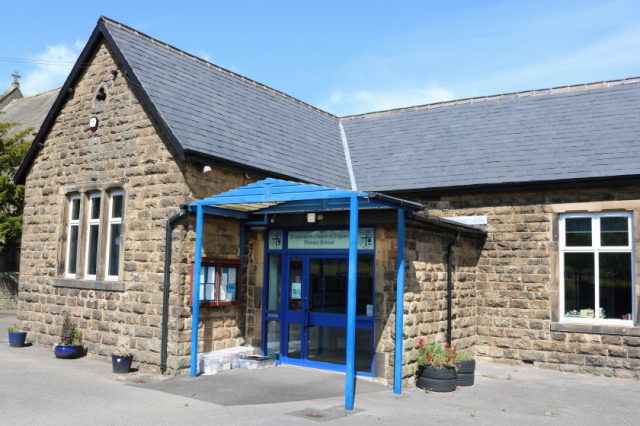
St Augustine's Roman Catholic High School, Billington
St Augustine's RC High School is a coeducational Roman Catholic secondary school located in Billington, Lancashire, England. == History == The school opened...

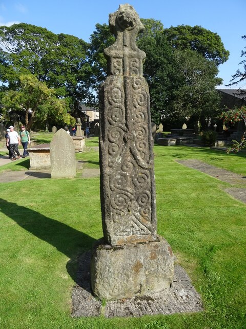
Church of St Mary and All Saints, Whalley
The Church of St Mary and All Saints is an Anglican church in the village of Whalley, Lancashire, England. It is an active parish church in the Diocese...
Billington and Langho
Billington and Langho is a civil parish in the Ribble Valley district of Lancashire, England, covering the villages of Billington and Langho and the hamlets...
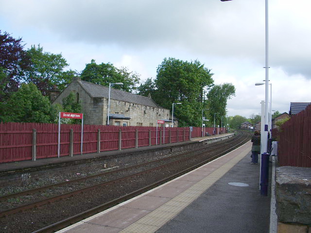
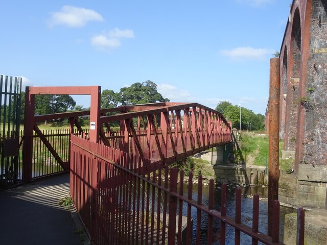
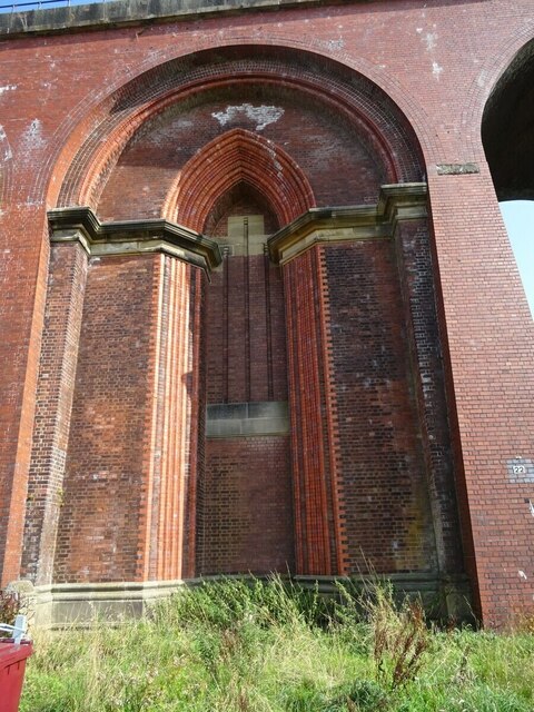
Whalley railway station
Whalley railway station serves the village of Whalley in Lancashire, England. The station lies on the Ribble Valley Line 7+1⁄4 miles (11.7 km) north of...
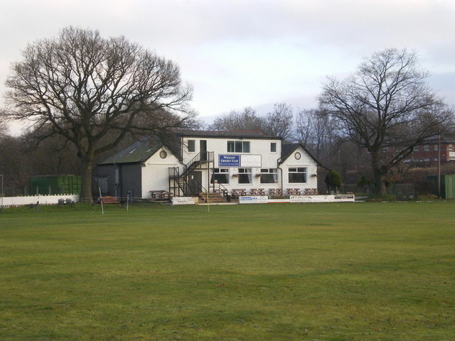
Station Road Ground
Station Road Ground is a cricket ground located off Station Road in Whalley, Lancashire. The ground is bordered to the north and west by other sports fields...

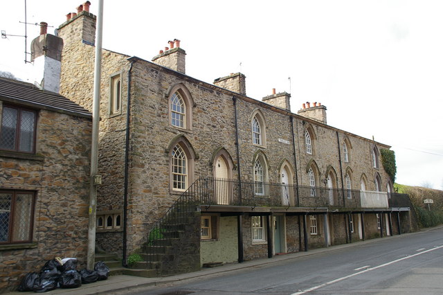
Whalley, Lancashire
Whalley is a large village and civil parish in the Ribble Valley on the banks of the River Calder in Lancashire, England. It is overlooked by Whalley...
Nearby Amenities
Located within 500m of 53.813275,-2.4147749Have you been to Butler Clough?
Leave your review of Butler Clough below (or comments, questions and feedback).