Little Moor Clough
Valley in Lancashire
England
Little Moor Clough
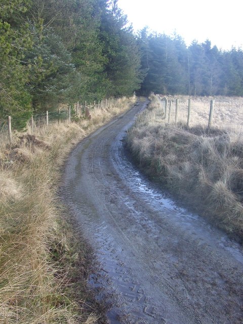
Little Moor Clough is a picturesque valley located in Lancashire, England. Nestled within the sprawling countryside, this valley offers a tranquil and idyllic escape from the hustle and bustle of city life.
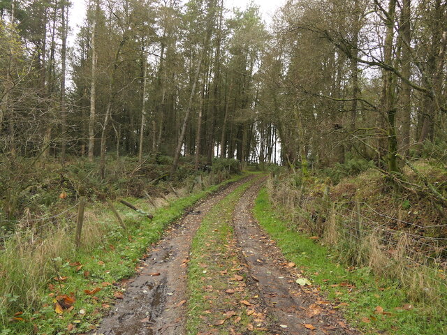
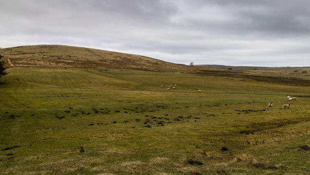
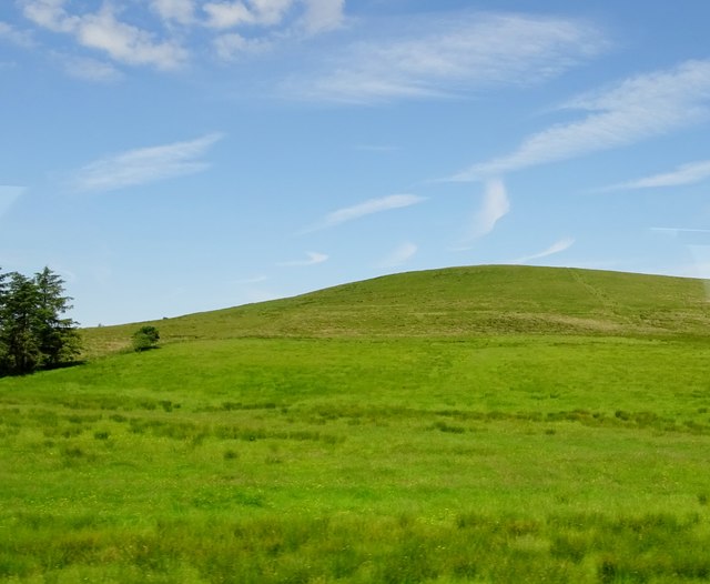
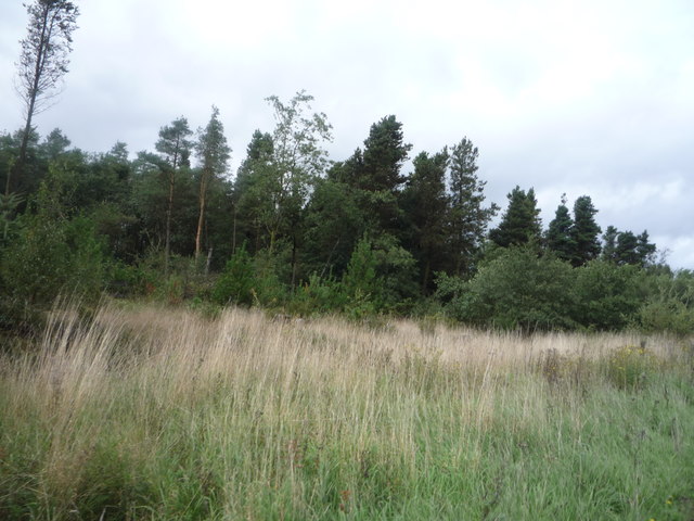
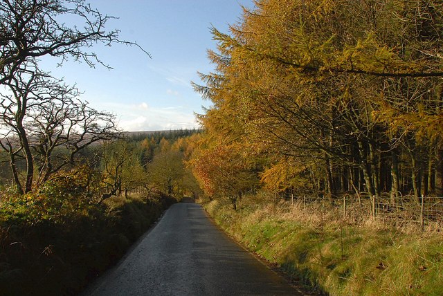
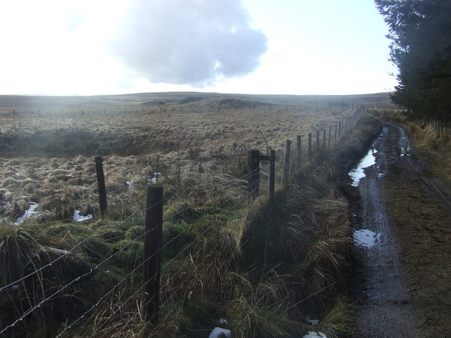
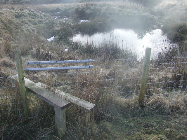
The valley is characterized by its lush green meadows, rolling hills, and a meandering stream that runs through the heart of it. The stream, known as Little Moor Brook, adds to the serenity of the area, providing a soothing soundtrack as it gurgles and cascades over small rocks and pebbles.
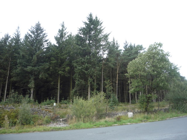
The surrounding landscape is diverse and rich in flora and fauna. The valley is home to a variety of plant species, including wildflowers, ferns, and towering trees that create a dense canopy overhead. This abundance of vegetation attracts a plethora of wildlife, making Little Moor Clough a haven for birdwatchers and nature enthusiasts. Visitors may catch a glimpse of species such as kingfishers, herons, and various songbirds.
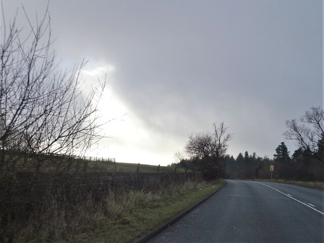
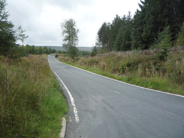
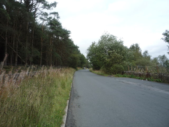
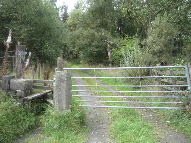
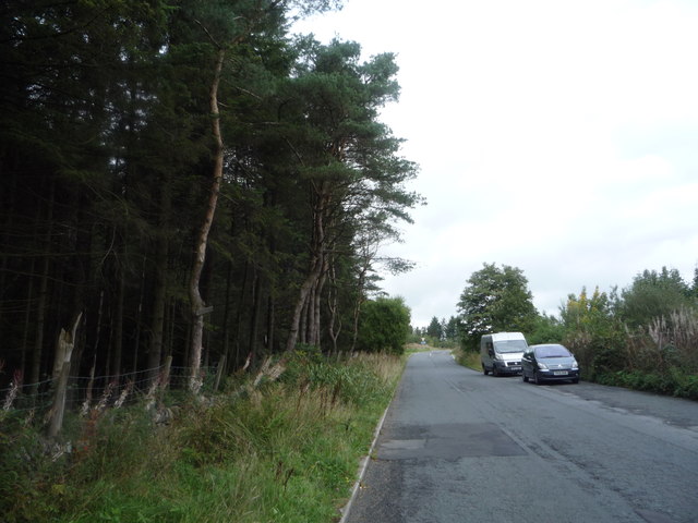
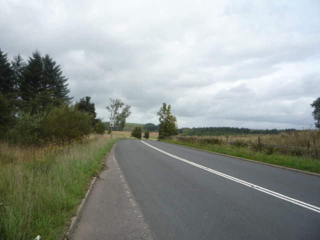
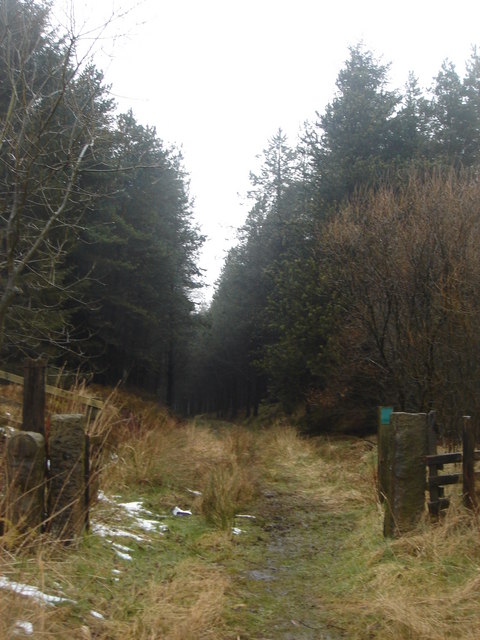
The valley also boasts several walking trails that wind their way through the picturesque countryside, offering breathtaking views of the surrounding hills and valleys. These trails provide ample opportunities for outdoor activities such as hiking, picnicking, and photography.
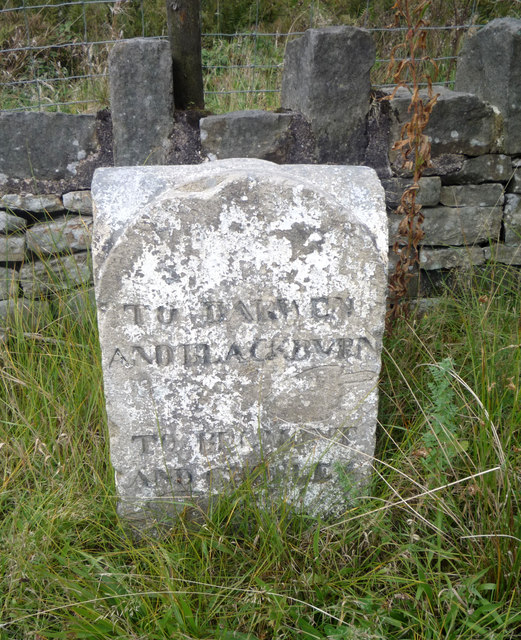
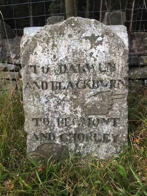
Little Moor Clough is not only a haven for nature lovers but also a place of historical significance. The valley is dotted with remnants of its industrial past, including old mill buildings and stone bridges, serving as a reminder of Lancashire's industrial heritage.
Overall, Little Moor Clough is a hidden gem in Lancashire, offering a peaceful retreat and a chance to reconnect with nature. Whether it be for a leisurely walk, birdwatching, or simply immersing oneself in the beauty of the countryside, this valley has something to offer to everyone.
If you have any feedback on the listing, please let us know in the comments section below.
Little Moor Clough Images
Images are sourced within 2km of 53.646806/-2.432517 or Grid Reference SD7116. Thanks to Geograph Open Source API. All images are credited.
Little Moor Clough is located at Grid Ref: SD7116 (Lat: 53.646806, Lng: -2.432517)
Unitary Authority: Blackburn with Darwen
Police Authority: Lancashire
What 3 Words
///noises.present.balancing. Near Edgworth, Lancashire
Nearby Locations
Related Wikis
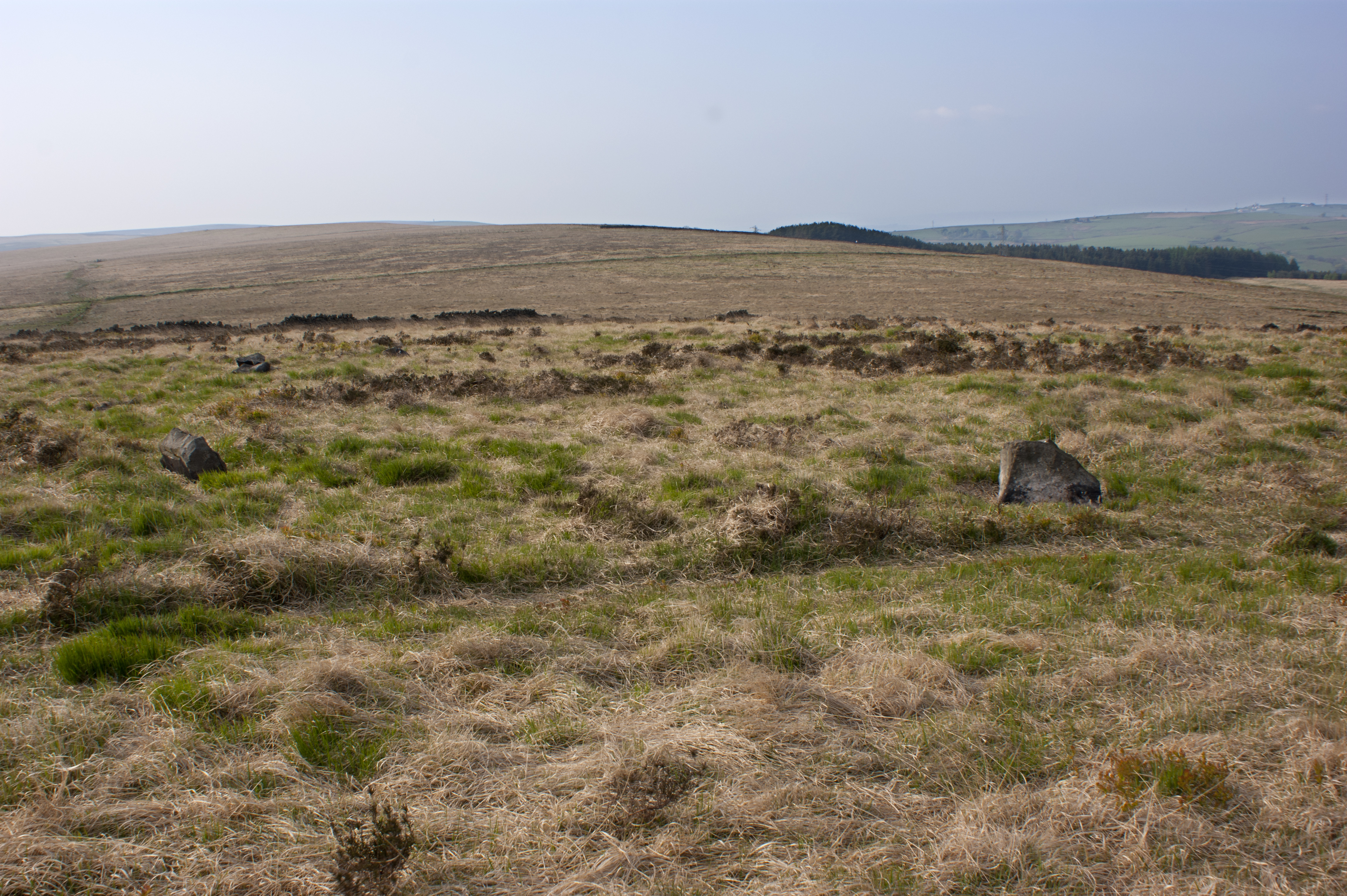
Cheetham Close
Cheetham Close is a megalithic site and scheduled ancient monument located in Lancashire, very close to the boundary with Greater Manchester, England....
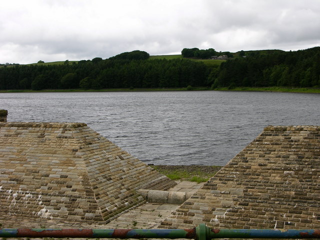
Turton and Entwistle Reservoir
Turton and Entwistle Reservoir is a water reservoir in the village of Edgworth, Lancashire, England. The reservoir's existence is due to the Entwistle...

Yarnsdale
Yarnsdale is a dale or valley in Lancashire. The name is derived from the heron or hern.It contains a small sandstone quarry, also known as Cadshaw Quarry...

A666 road
The A666 is a major road in Greater Manchester and Lancashire, England. == Route == The road runs from its junction with the A6, and A580 at the Irlams...
Nearby Amenities
Located within 500m of 53.646806,-2.432517Have you been to Little Moor Clough?
Leave your review of Little Moor Clough below (or comments, questions and feedback).