Easter Wide Hope
Valley in East Lothian
Scotland
Easter Wide Hope
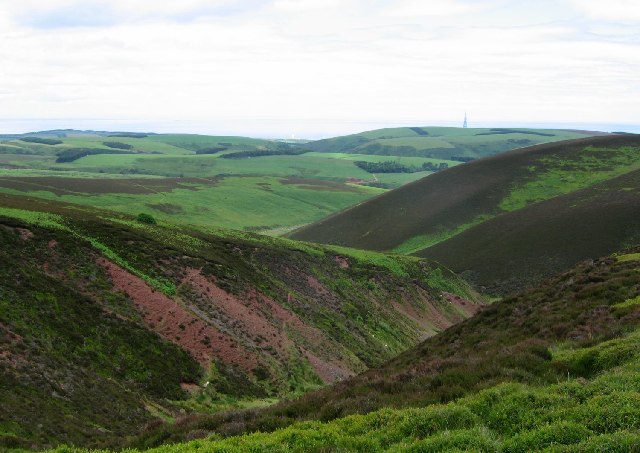
Easter Wide Hope is a small valley located in East Lothian, Scotland. Situated amidst picturesque countryside, this idyllic valley offers visitors a peaceful and serene haven away from the bustling city life.
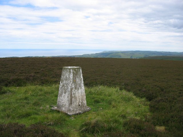
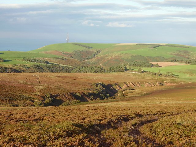
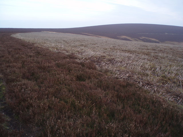
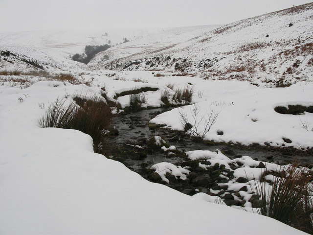
The valley is known for its stunning natural beauty, with rolling hills, lush green meadows, and meandering streams. It is a haven for nature enthusiasts and outdoor lovers, providing ample opportunities for hiking, walking, and cycling. The surrounding countryside is dotted with charming farmhouses and picturesque cottages, adding to the overall rustic charm of the area.
Easter Wide Hope is also home to a variety of wildlife, making it a popular spot for birdwatching. Visitors can spot various species of birds, including robins, blackbirds, and blue tits, as well as rabbits and squirrels.
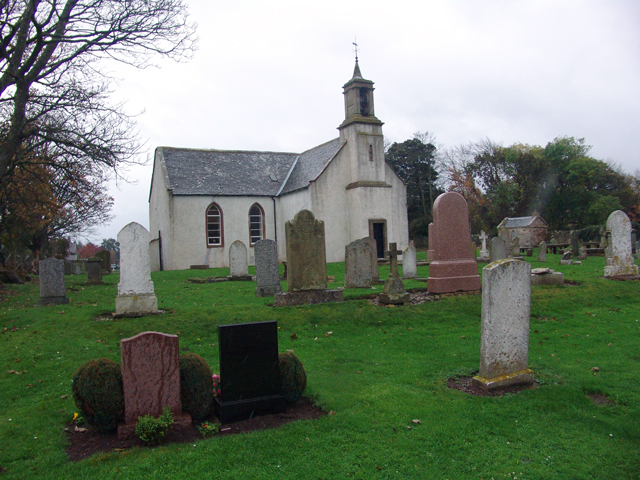
The valley is also rich in history and heritage. There are several ancient sites and ruins in the area, including the remains of an old castle and a medieval church. These historic landmarks provide a fascinating glimpse into the region's past and offer visitors the chance to immerse themselves in the area's rich cultural heritage.
For those seeking tranquility and a break from city life, Easter Wide Hope is the perfect destination. With its stunning natural scenery, abundant wildlife, and historical landmarks, it offers a unique and memorable experience for visitors of all ages.
If you have any feedback on the listing, please let us know in the comments section below.
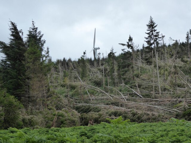
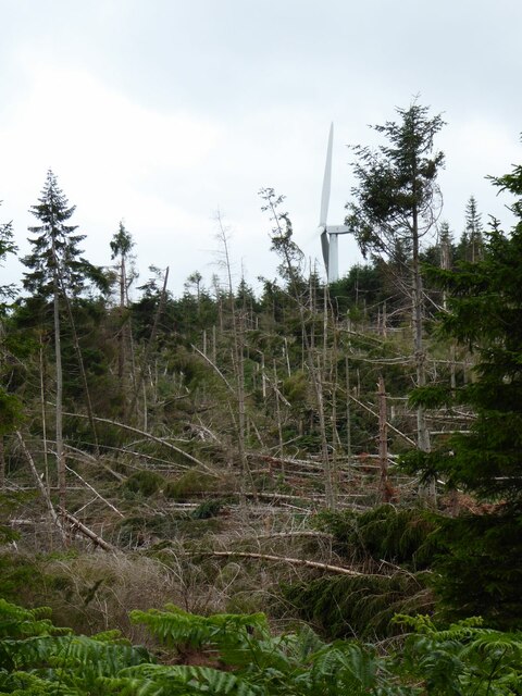
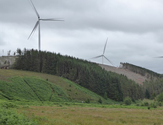
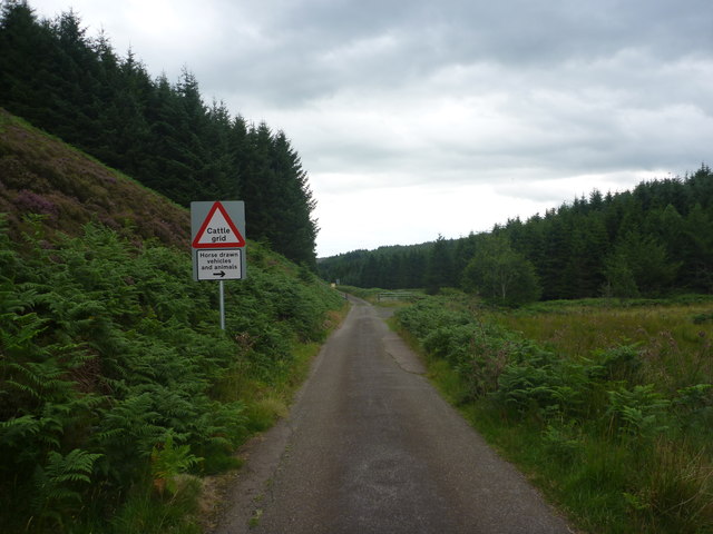
Easter Wide Hope Images
Images are sourced within 2km of 55.910157/-2.4664464 or Grid Reference NT7068. Thanks to Geograph Open Source API. All images are credited.


Easter Wide Hope is located at Grid Ref: NT7068 (Lat: 55.910157, Lng: -2.4664464)
Unitary Authority: East Lothian
Police Authority: The Lothians and Scottish Borders
What 3 Words
///slimmer.tickling.frogs. Near Dunbar, East Lothian
Nearby Locations
Related Wikis

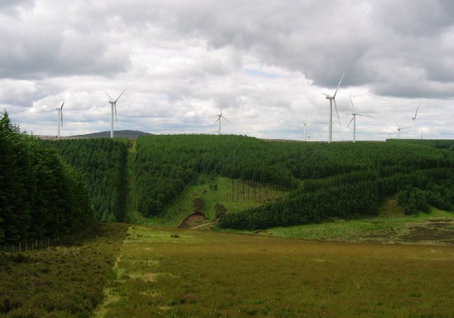
Crystal Rig Wind Farm
Crystal Rig Wind Farm is an operational onshore wind farm located on the Lammermuir Hills in the Scottish Borders region of Scotland. When phase 1 was...
Oldhamstocks
Oldhamstocks or Aldhamstocks ("old dwelling place") is a civil parish and small village in the east of East Lothian, Scotland, adjacent to the Scottish...

Blackcastle Hill, East Lothian
Blackcastle Hill is an Iron Age hill fort south of Innerwick, East Lothian, Scotland. It is near Cocklaw in the Lammermuir Hills at grid reference NT729724...

Innerwick
Innerwick (Scottish Gaelic: Inbhir Mhuice) is a coastal civil parish and small village, which lies in the east of East Lothian, five miles (eight kilometres...
Nearby Amenities
Located within 500m of 55.910157,-2.4664464Have you been to Easter Wide Hope?
Leave your review of Easter Wide Hope below (or comments, questions and feedback).