Hale Combe
Valley in Somerset Mendip
England
Hale Combe
Hale Combe is a small village situated in the picturesque county of Somerset, England. Nestled in the heart of the beautiful Exmoor National Park, it is surrounded by stunning natural landscapes and offers a peaceful retreat away from the hustle and bustle of modern life.
The village is known for its idyllic valley setting, with rolling green hills and meandering streams creating a tranquil atmosphere. Hale Combe is home to a close-knit community of friendly locals who take great pride in their village and its heritage.
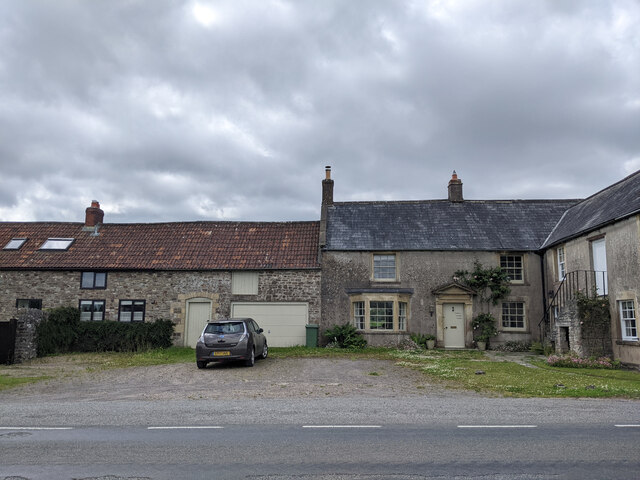
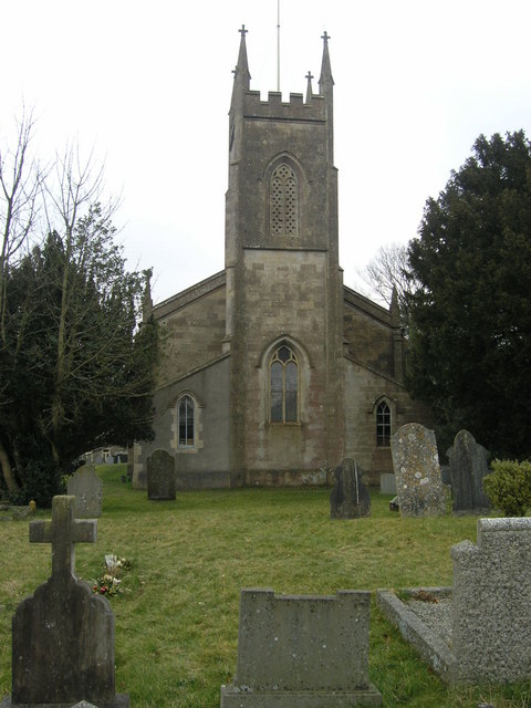
The architecture in Hale Combe reflects its rich history, with charming thatched cottages and stone buildings that have stood the test of time. The village church, St. Mary's, is a notable landmark, dating back to the 13th century and featuring beautiful stained glass windows.
For outdoor enthusiasts, Hale Combe is a haven. The surrounding countryside offers a range of walking and hiking trails, allowing visitors to explore the stunning landscapes of Exmoor National Park. The area is also popular for cycling and horse riding, with several equestrian centers and cycle routes in the vicinity.
Although a small village, Hale Combe has a sense of community spirit that is evident in its local amenities. The village boasts a charming pub, the Hale Combe Inn, where visitors can enjoy traditional British cuisine and a selection of locally brewed ales.
Overall, Hale Combe offers a tranquil and picturesque escape for those seeking a taste of rural Somerset life. Its natural beauty, rich history, and friendly community make it a delightful destination for visitors and a cherished home for its residents.
If you have any feedback on the listing, please let us know in the comments section below.
Hale Combe Images
Images are sourced within 2km of 51.224044/-2.4311072 or Grid Reference ST6947. Thanks to Geograph Open Source API. All images are credited.


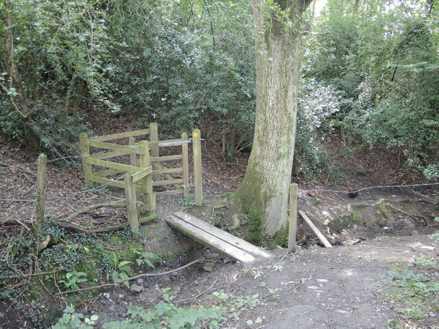
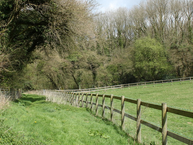
![2011 : Track through Asham Wood Wikipedia has this to say:
&quot;Asham Wood is the largest and most diverse of the ancient semi-natural woods in the Mendips. It has been the subject of controversy and attempts to protect the environment from increased quarrying activity in the area.
The wood occupies 2 deep valleys and the intervening plateau. Most of the underlying rocks are calcareous Carboniferous Limestone and Shales, but Devonian Portishead Beds outcrop along the northern valley. There [is] a range of unusual flora and fauna.
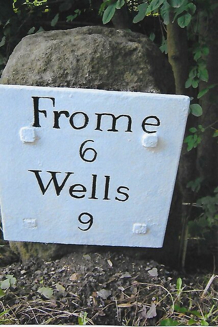
At Asham Wood near Frome coppicing and 50 dormouse boxes have been introduced in order to encourage nesting. The boxes are monitored and dormice numbers are recorded.&quot; <span class="nowrap"><a title="http://en.wikipedia.org/wiki/Asham_Wood" rel="nofollow ugc noopener" href="http://en.wikipedia.org/wiki/Asham_Wood">Link</a><img style="margin-left:2px;" alt="External link" title="External link - shift click to open in new window" src="https://s1.geograph.org.uk/img/external.png" width="10" height="10"/></span>
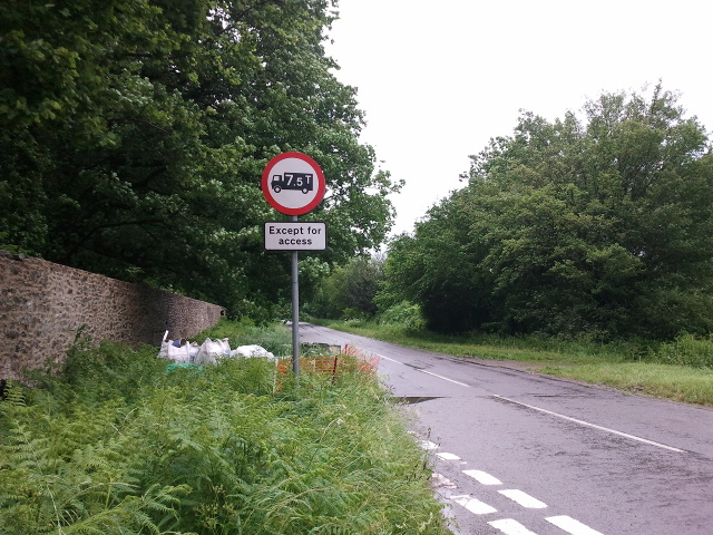
The only access to Asham Wood from the road is on the north east edge near Dead Womans Bottom, otherwise it is by footpath.](https://s0.geograph.org.uk/geophotos/02/35/76/2357688_98ea92cb.jpg)
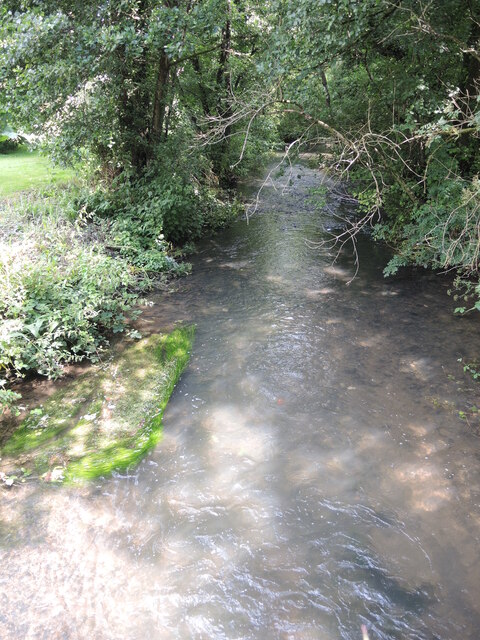
![2011 : Track through Asham Wood Wikipedia has this to say:
&quot;Asham Wood is the largest and most diverse of the ancient semi-natural woods in the Mendips. It has been the subject of controversy and attempts to protect the environment from increased quarrying activity in the area.
The wood occupies 2 deep valleys and the intervening plateau. Most of the underlying rocks are calcareous Carboniferous Limestone and Shales, but Devonian Portishead Beds outcrop along the northern valley. There [is] a range of unusual flora and fauna.
At Asham Wood near Frome coppicing and 50 dormouse boxes have been introduced in order to encourage nesting. The boxes are monitored and dormice numbers are recorded.&quot; <span class="nowrap"><a title="http://en.wikipedia.org/wiki/Asham_Wood" rel="nofollow ugc noopener" href="http://en.wikipedia.org/wiki/Asham_Wood">Link</a><img style="margin-left:2px;" alt="External link" title="External link - shift click to open in new window" src="https://s1.geograph.org.uk/img/external.png" width="10" height="10"/></span>
The only access to Asham Wood from the road is on the north east edge near Dead Womans Bottom, otherwise it is by footpath.](https://s0.geograph.org.uk/geophotos/02/35/77/2357700_9db66174.jpg)
Hale Combe is located at Grid Ref: ST6947 (Lat: 51.224044, Lng: -2.4311072)
Administrative County: Somerset
District: Mendip
Police Authority: Avon and Somerset
What 3 Words
///forgiving.seemingly.reshape. Near Chilcompton, Somerset
Nearby Locations
Related Wikis

Halecombe
Halecombe is a limestone quarry near Leigh-on-Mendip on the Mendip Hills, Somerset, England. The quarry exhibits pale to dark grey well-bedded Carboniferous...

Leigh-on-Mendip
Leigh-on-Mendip or Leigh upon Mendip (on Ordnance Survey maps) is a small village on the Mendip Hills in Somerset, England. It lies roughly equidistant...
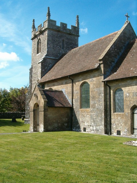
Church of All Saints, Downhead
The Anglican Church Of All Saints in Downhead, within the English county of Somerset, dates from the 14th century. It is a Grade II* listed building.The...

Asham Wood
Asham Wood (grid reference ST705460) is a 140.6-hectare (347-acre) biological Site of Special Scientific Interest east of Downhead and south of Leigh-on...
Downhead
Downhead is a village and civil parish close to Leigh-on-Mendip and 5 miles (8 km) north east of Shepton Mallet, in the Mendip district of Somerset, England...
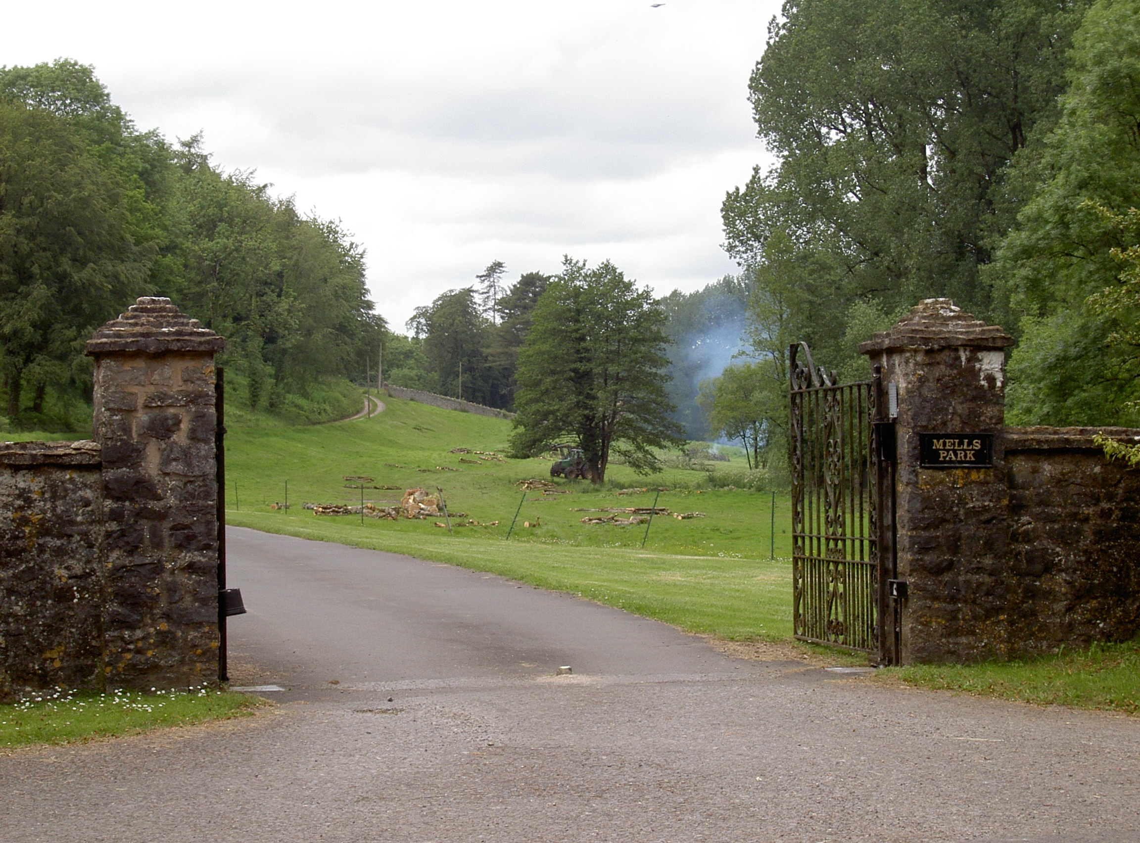
Mells Park
Mells Park is a country estate of 140 hectares (350 acres) near Mells, Somerset, England. It originated as a 17th-century deer park, probably created by...
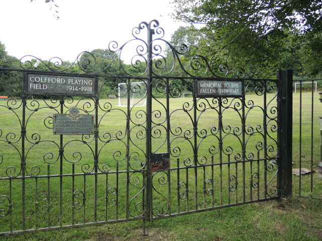
Coleford, Somerset
Coleford is a village and civil parish in Somerset, England, situated on the Mells River in the Mendip Hills five miles west of Frome. The parish has a...
Dinies Camp
Dinies Camp is a univallate Iron Age hill fort enclosure in the Mendip district of Somerset, England. The hill fort is situated approximately 1 mile (1...
Nearby Amenities
Located within 500m of 51.224044,-2.4311072Have you been to Hale Combe?
Leave your review of Hale Combe below (or comments, questions and feedback).