Friar's Glen
Valley in Kincardineshire
Scotland
Friar's Glen

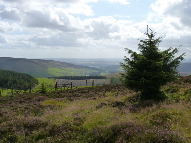
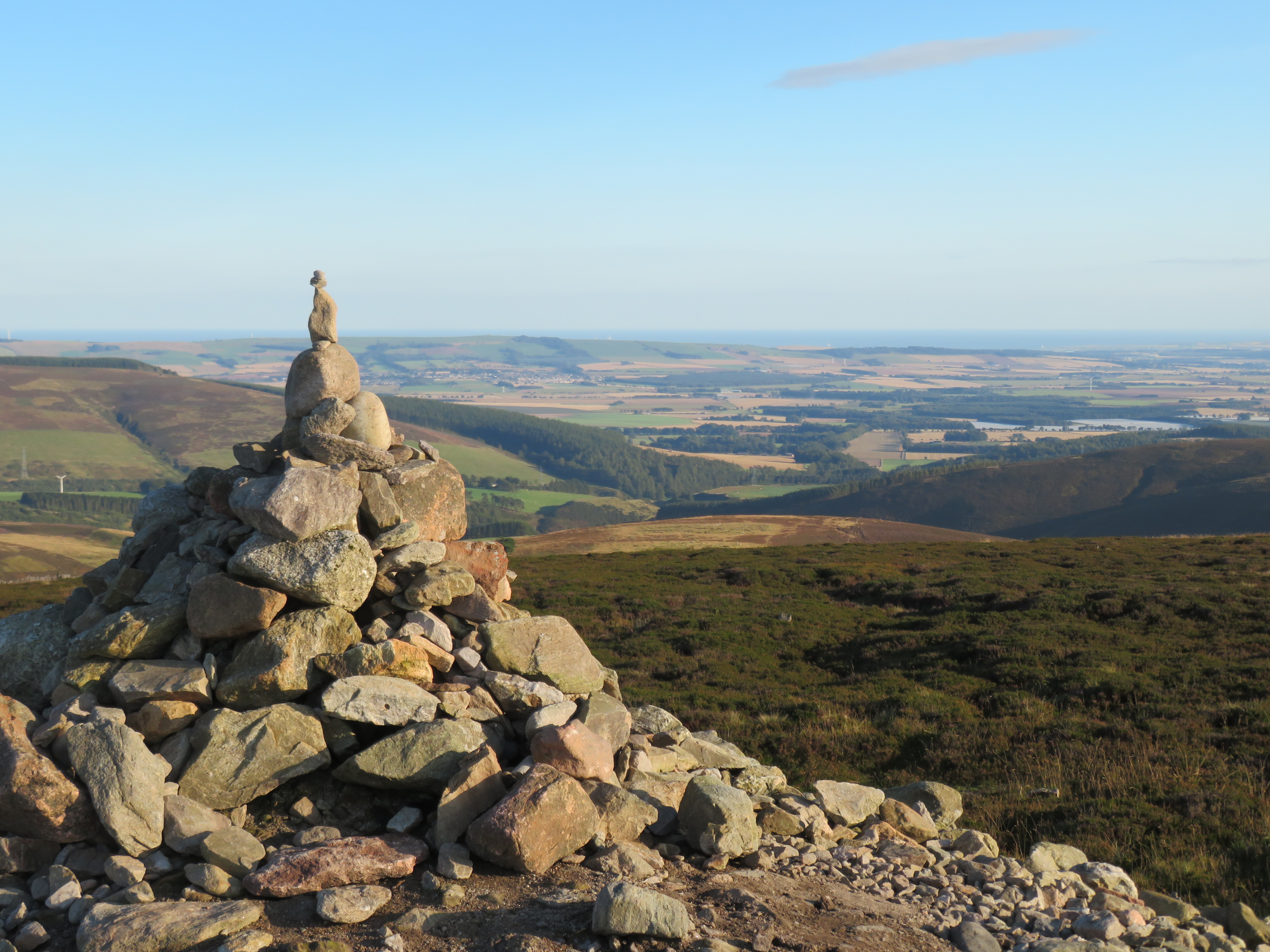
Friar's Glen, located in Kincardineshire, Scotland, is a picturesque valley renowned for its natural beauty and historical significance. Situated amidst the stunning backdrop of the Scottish Highlands, this valley offers visitors a unique opportunity to experience the breathtaking scenery and immerse themselves in the rich heritage of the region.
The valley gets its name from the presence of a medieval friary that once stood here, which was inhabited by monks during the 13th century. Today, the ruins of the friary can still be seen, serving as a reminder of the area's historical past. These ruins attract history enthusiasts and tourists alike, who can explore the remnants of the friary and learn about its significance in Scottish history.
In addition to its historical importance, Friar's Glen is also a haven for nature lovers. The valley is blessed with an abundance of flora and fauna, making it a popular destination for hiking and wildlife spotting. Visitors can embark on scenic walks along the well-maintained trails that wind through the valley, offering stunning views of the surrounding mountains, forests, and meadows.
For those seeking adventure, Friar's Glen offers opportunities for mountain biking, fishing, and birdwatching. The nearby river and lochs are teeming with trout and salmon, attracting fishing enthusiasts from far and wide. Birdwatchers can spot a variety of species, including golden eagles, peregrine falcons, and red kites, among others.
Friar's Glen, with its combination of natural beauty and historical significance, is a must-visit destination for anyone exploring the Kincardineshire region. Whether you are interested in history, outdoor activities, or simply want to soak in the tranquility of the Scottish Highlands, this valley offers something for everyone.
If you have any feedback on the listing, please let us know in the comments section below.
Friar's Glen Images
Images are sourced within 2km of 56.910636/-2.5255428 or Grid Reference NO6880. Thanks to Geograph Open Source API. All images are credited.


Friar's Glen is located at Grid Ref: NO6880 (Lat: 56.910636, Lng: -2.5255428)
Unitary Authority: Aberdeenshire
Police Authority: North East
What 3 Words
///donates.helpers.handyman. Near Laurencekirk, Aberdeenshire
Nearby Locations
Related Wikis

Kincardineshire
Kincardineshire or the County of Kincardine, also known as the Mearns (from the Scottish Gaelic A' Mhaoirne meaning "the Stewartry"), is a historic county...

Drumtochty Castle
Drumtochty Castle is a neo-gothic style castellated mansion erected in 1812 approximately three kilometres north-west of Auchenblae, Kincardineshire, Scotland...

Drumtochty Forest
Drumtochty Forest is a coniferous woodland in Kincardineshire, Scotland. In earlier times this forest was associated with Drumtochty Castle. Other notable...
Cairn o' Mount
The Cairn o' Mount or Cairn o' Mounth is a hill in Aberdeenshire, Scotland, rising to 455 metres (1,493 ft). The B974 road crosses its summit, connecting...
Have you been to Friar's Glen?
Leave your review of Friar's Glen below (or comments, questions and feedback).