Black Cleugh
Valley in Northumberland
England
Black Cleugh
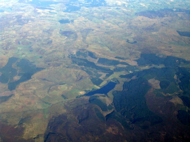
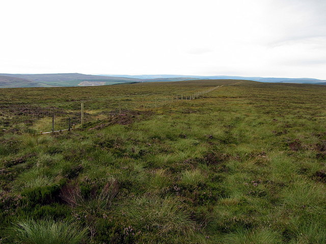
Black Cleugh is a picturesque valley located in the county of Northumberland, in the northeast region of England. Situated within the North Pennines Area of Outstanding Natural Beauty, it is renowned for its stunning landscapes, rich history, and diverse wildlife.
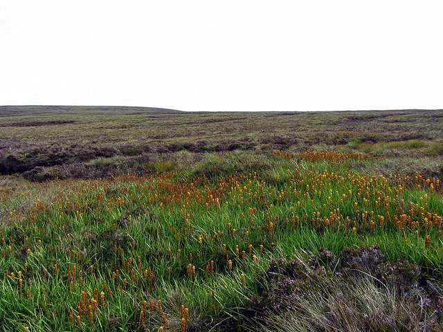
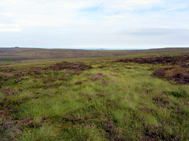
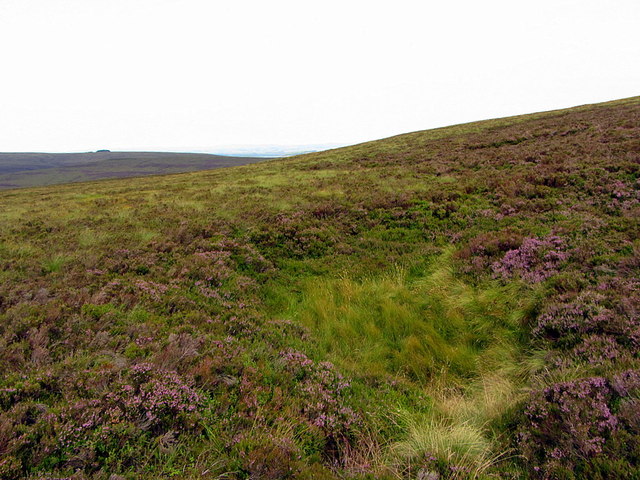
The valley is nestled between rolling hills and is characterized by its steep slopes and deep gorges, which were carved by ancient glaciers. The landscape is dominated by a mixture of heather moorland, grassy meadows, and dense woodland, creating a diverse habitat for a wide range of plant and animal species.
The valley is also home to the Black Cleugh Burn, a small river that meanders through the area, providing a tranquil and picturesque setting. The river is a popular spot for fishing, with brown trout and salmon being abundant in its waters.
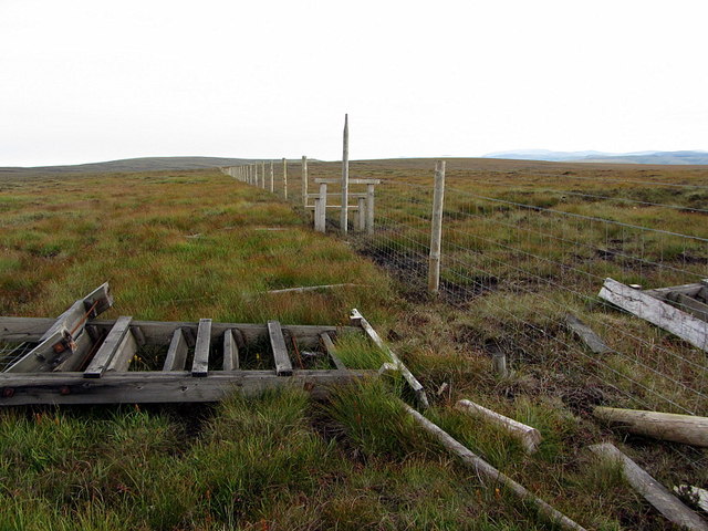
Historically, Black Cleugh has played a significant role in the region's mining industry. The valley was once home to several lead mines, which operated from the 18th century until the mid-20th century. Today, remnants of these mining activities can still be seen, adding an intriguing historical element to the area.
In addition to its natural beauty, Black Cleugh offers numerous walking and hiking trails, allowing visitors to explore the valley and its surroundings. The valley is a haven for outdoor enthusiasts, offering opportunities for birdwatching, wildlife spotting, and photography.
Overall, Black Cleugh is a captivating destination that combines stunning natural landscapes, a rich mining history, and abundant wildlife, making it a must-visit location for nature lovers and history enthusiasts alike.
If you have any feedback on the listing, please let us know in the comments section below.
Black Cleugh Images
Images are sourced within 2km of 55.297314/-2.5082534 or Grid Reference NT6700. Thanks to Geograph Open Source API. All images are credited.


Black Cleugh is located at Grid Ref: NT6700 (Lat: 55.297314, Lng: -2.5082534)
Unitary Authority: Northumberland
Police Authority: Northumbria
What 3 Words
///luck.webcams.lessening. Near Rochester, Northumberland
Nearby Locations
Related Wikis

Whitelee Moor
Whitelee Moor is nature reserve of the Northumberland Wildlife Trust, in Northumberland, England, near Carter Bar. A large part of the moor is blanket...

Carter Bar
Carter Bar is a pass in the Cheviot Hills, on the Anglo-Scottish border. It lies east of Carter Fell at the head of Redesdale, and is crossed by the A68...
Raid of the Redeswire
The Raid of the Redeswire, also known as the Redeswire Fray, was a border skirmish between England and Scotland on 7 July 1575 which took place at Carter...
Ramshope
Ramshope is a hamlet and former civil parish, now in the parish of Rochester in Northumberland, England located in Northumberland National Park. It lies...

Scottish Borders
The Scottish Borders (Scots: the Mairches, lit. 'the Marches'; Scottish Gaelic: Crìochan na h-Alba) is one of 32 council areas of Scotland. It is bordered...

Butteryhaugh
Butteryhaugh is a village in Northumberland, in England. It is situated a short distance to the south-east of Kielder. Although a separate "village" from...
Kielderhead and Emblehope Moors
Kielderhead and Emblehope Moors are contiguous areas of moorland in northern Northumberland, England. A section of Kielderhead Moor is part of neighbouring...

Deadwater, Northumberland
Deadwater is a small settlement in Northumberland, England, about 3 miles (5 km) north west of Kielder, Northumberland, on the English side of the border...
Nearby Amenities
Located within 500m of 55.297314,-2.5082534Have you been to Black Cleugh?
Leave your review of Black Cleugh below (or comments, questions and feedback).