Allam Bottom
Valley in Yorkshire Craven
England
Allam Bottom

Allam Bottom is a picturesque valley located in the county of Yorkshire, England. Nestled between rolling hills and verdant meadows, this idyllic landscape offers a tranquil retreat for nature enthusiasts and hikers alike. The valley is situated in the northern part of the Yorkshire Dales National Park, renowned for its stunning beauty and diverse wildlife.
The valley takes its name from the Allam Beck, a small river that flows through its heart. The crystal-clear waters of the beck meander through the valley, creating a soothing soundtrack of babbling brooks and cascading waterfalls. These water features provide a habitat for a variety of aquatic species, including trout and otters, making Allam Bottom a haven for wildlife enthusiasts and keen anglers.
The valley boasts an array of flora and fauna, with vibrant wildflowers carpeting the meadows during the spring and summer months. Beech and oak woodlands line the valley slopes, providing a habitat for a range of bird species, including woodpeckers and song thrushes. The valley's diverse ecosystem offers ample opportunities for birdwatching and nature photography.
Allam Bottom is also a popular destination for outdoor activities. The valley is crisscrossed with a network of footpaths and bridleways, allowing visitors to explore the surrounding countryside. Hikers can traverse the valley, taking in panoramic views of the surrounding hills and valleys. Cyclists can also enjoy the valley's scenic beauty, with numerous cycling routes available for all skill levels.
Overall, Allam Bottom offers a captivating blend of natural beauty, wildlife, and outdoor activities, making it a must-visit destination for those seeking a peaceful retreat in the heart of Yorkshire.
If you have any feedback on the listing, please let us know in the comments section below.
Allam Bottom Images
Images are sourced within 2km of 54.165268/-2.5113196 or Grid Reference SD6674. Thanks to Geograph Open Source API. All images are credited.


Allam Bottom is located at Grid Ref: SD6674 (Lat: 54.165268, Lng: -2.5113196)
Division: West Riding
Administrative County: North Yorkshire
District: Craven
Police Authority: North Yorkshire
What 3 Words
///hikes.behave.logged. Near Ingleton, North Yorkshire
Nearby Locations
Related Wikis
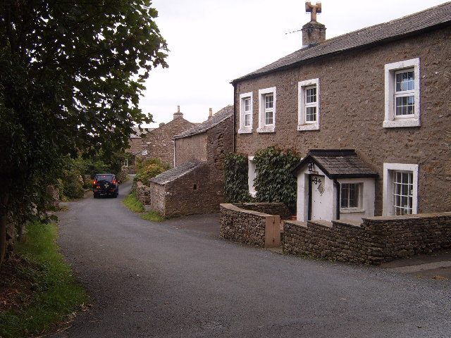
Masongill
Masongill is a small community on the edge of the Craven district of North Yorkshire, England. The village, in the Yorkshire Dales, lies near the border...

Ireby, Lancashire
Ireby is a small hamlet and civil parish on the edge of Lancashire, England, bordering North Yorkshire. It lies in the City of Lancaster, just inside the...
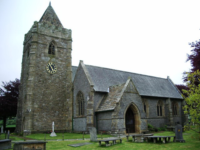
St Oswald's Church, Thornton in Lonsdale
St Oswald's Church is in the village of Thornton in Lonsdale, North Yorkshire, England. It is an active Anglican parish church in the deanery of Ewecross...

Ingleton railway station (London and North Western Railway)
Ingleton (L&NW) railway station (also known as Ingleton Thornton station) was one of two stations serving the village of Ingleton, North Yorkshire, England...
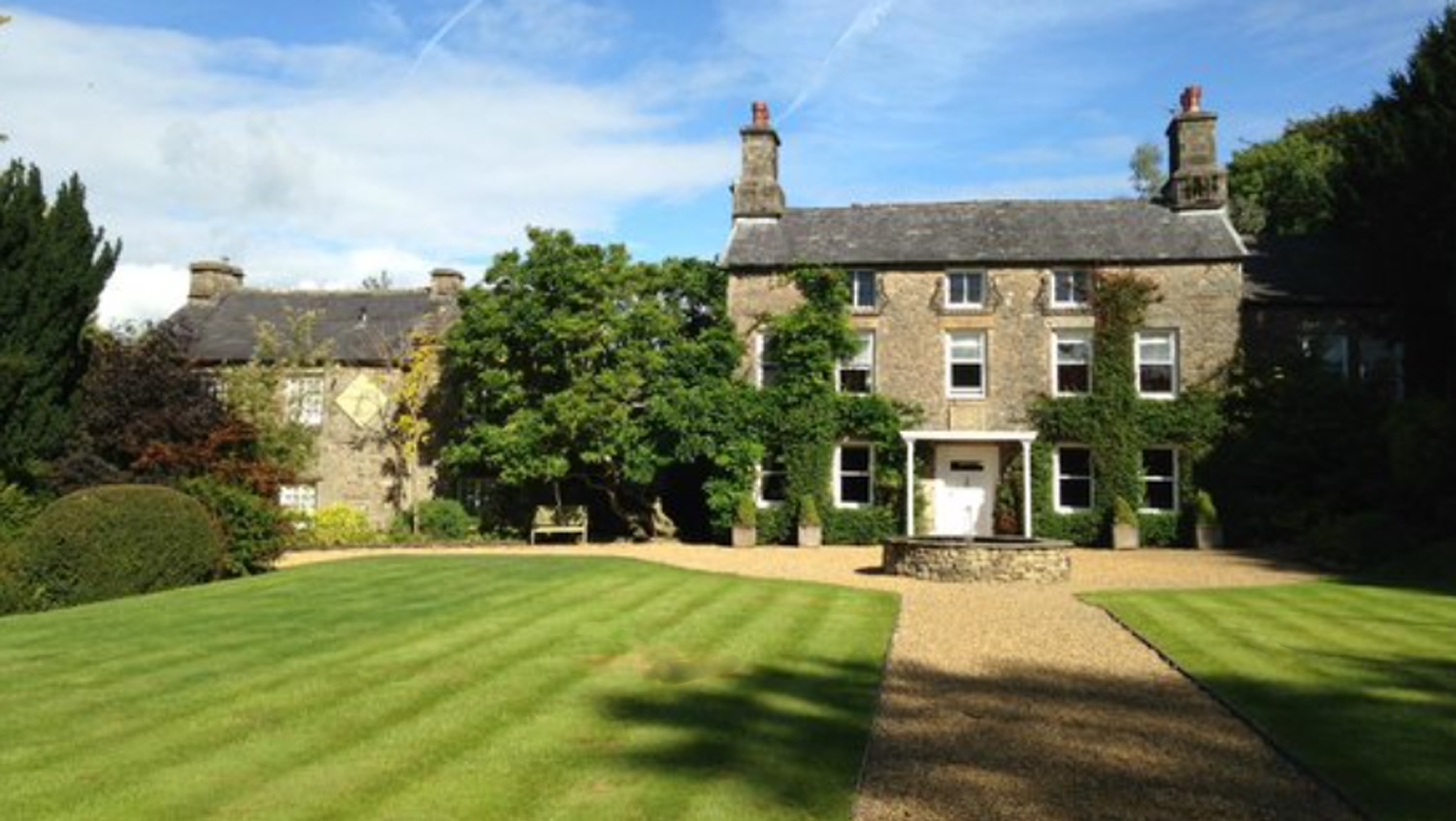
Hipping Hall
Hipping Hall is a country house hotel on the border of Lancashire, Cumbria and North Yorkshire, near Kirkby Lonsdale. Opened in 2005 by chemist-turned...

Burton in Lonsdale
Burton in Lonsdale is a village and civil parish in the Craven District of North Yorkshire, England, close to the border with Lancashire and Cumbria....

Leck Hall
Leck Hall is an 18th-century country house located at Leck, Lancashire, England, near Kirkby Lonsdale. The hall is grade II listed. and stands in an informal...

All Saints Church, Burton in Lonsdale
All Saints Church is in the village of Burton in Lonsdale, North Yorkshire, England. It is an active Anglican parish church in the deanery of Ewecross...
Related Videos
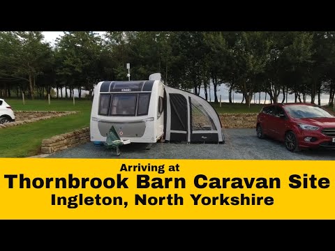
Arriving at THORNBROOK BARN CARAVAN SITE, Ingleton, North Yorkshire - Sept 2021
caravan #caravanning #caravanlife #northyorkshire Welcome to my Channel - In this video I show you us arriving at Thornbrook ...
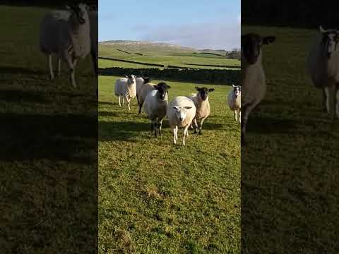
I'm being followed!
After walking down from the Fell, I espied and tried a new path from Ireby through Over Hall... the land owners say keep to the path ...
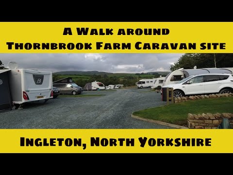
A WALK around THORNBROOK BARN CARAVAN SITE, INGLETON - Sept 2021
caravan #caravanning #caravanlife #northyorkshire Welcome to my Channel - In this video Karen & I take a walk around ...
Nearby Amenities
Located within 500m of 54.165268,-2.5113196Have you been to Allam Bottom?
Leave your review of Allam Bottom below (or comments, questions and feedback).