Dean Bottom

Valley in Somerset Mendip

England

Dean Bottom

Car parked at the start of Fental Lane, Ukrainian flag on fence
Car parked at the start of Fental Lane, Ukrainian flag on fence Credit: Rob Purvis

Dean Bottom is a small village located in the county of Somerset, England. Situated in the picturesque Somerset Valley, it is nestled between the rolling hills and stunning landscapes that characterize this rural region. The village is part of the larger Somerset Levels and Moors, a designated Area of Outstanding Natural Beauty.

With a population of around 200 residents, Dean Bottom is known for its tight-knit community and peaceful atmosphere. The village consists mainly of traditional stone-built houses and cottages, giving it a charming and timeless appeal. The surrounding countryside offers ample opportunities for outdoor activities such as walking, cycling, and nature appreciation.

Despite its small size, Dean Bottom is well-served by amenities. There is a local primary school that caters to the village and nearby communities, ensuring that families have access to quality education. Additionally, a community center provides a space for social events and gatherings, fostering a sense of unity among residents.

The village is conveniently located near the town of Glastonbury, which is just a short drive away. Glastonbury offers a wider range of services, including supermarkets, shops, and healthcare facilities.

Overall, Dean Bottom offers a tranquil and idyllic lifestyle for those seeking a rural escape. Its stunning surroundings, strong community spirit, and proximity to larger towns make it an attractive place to live for both families and individuals looking for a peaceful countryside setting.

If you have any feedback on the listing, please let us know in the comments section below.
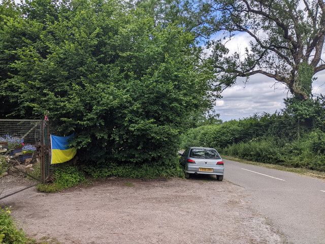
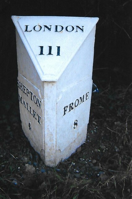
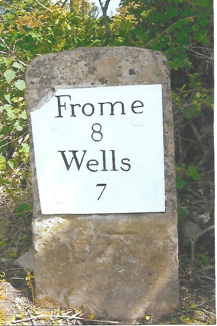
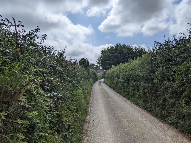
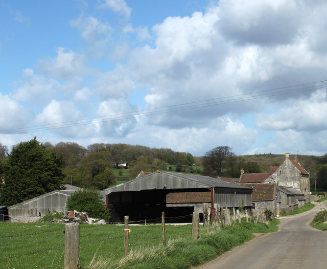
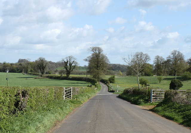
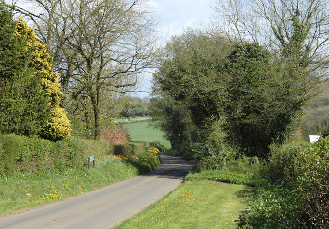
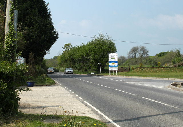
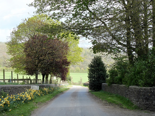
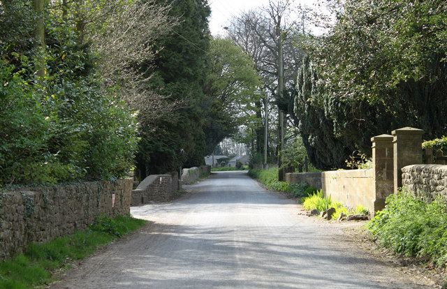
Dean Bottom Images

Images are sourced within 2km of 51.197782/-2.4787348 or Grid Reference ST6644. Thanks to Geograph Open Source API. All images are credited.

Car parked at the start of Fental Lane, Ukrainian flag on fence
Old Milestone by A361, West of Cranmore, near quarry entrance The Milestone is located in the hedge beside the South side of the road.  Parish of Cranmore (Mendip District). Cast iron post, plated iron casting design, erected by the Shepton Mallet turnpike trust in the 19th Century, has been broken and welded back together (on back of top "BUCI") and repositioned. An earlier photograph can be found here: <a title="https://www.geograph.org.uk/photo/5324456" href="https://www.geograph.org.uk/photo/5324456">Link</a> 

Inscription reads:- 
SHEPTON / MALLET / 3 : : FROME / 9 : : LONDON / 112  

Milestone Society National ID: SO_SMFR03
Old Milestone by A361, West of Cranmore, near quarry entrance
The Milestone is located in the hedge beside the South side of the road.  Parish of Cranmore (Mendip District). Cast iron post, plated iron casting design, erected by the Shepton Mallet turnpike trust in the 19th Century, has been broken and welded back together (on back of top "BUCI") and repositioned. An earlier photograph can be found here: Link  Inscription reads:- SHEPTON / MALLET / 3 : : FROME / 9 : : LONDON / 112 Milestone Society National ID: SO_SMFR03
Old Milepost by A361, village of Dean The Milepost is located on the grass verge near houses on the South of the road.  Parish of Cranmore (Mendip District). Cast iron post, plated iron casting design, erected by the Shepton Mallet turnpike trust in the 19th Century. It has been broken and welded back together (on back of top "BUCI") and repositioned. A photograph before the repainting can be found here: <a title="https://www.geograph.org.uk/photo/6072295" href="https://www.geograph.org.uk/photo/6072295">Link</a> 

Inscription reads:-  
SHEPTON / MALLET / 4 : : FROME / 8 : : LONDON / 111 

Milestone Society National ID: SO_SMFR04
Old Milepost by A361, village of Dean
The Milepost is located on the grass verge near houses on the South of the road.  Parish of Cranmore (Mendip District). Cast iron post, plated iron casting design, erected by the Shepton Mallet turnpike trust in the 19th Century. It has been broken and welded back together (on back of top "BUCI") and repositioned. A photograph before the repainting can be found here: Link  Inscription reads:- SHEPTON / MALLET / 4 : : FROME / 8 : : LONDON / 111 Milestone Society National ID: SO_SMFR04
Old Milestone near Long Cross crossroads The Milestone is located on grass verge among undergrowth on the North of the road.  Parish of Doulting (Mendip District). Metal plate attached to stone post, Frome square iron plate design, erected by the Frome turnpike trust in the 19th Century, broken top left corner of plate. An earlier photograph can be found here:  <a title="https://www.geograph.org.uk/photo/6099211" href="https://www.geograph.org.uk/photo/6099211">Link</a> 

Inscription reads:-  
FROME / 8 / WELLS / 7  

Grade II listed. List Entry Number: 1221602 <span class="nowrap"><a title="https://historicengland.org.uk/listing/the-list/list-entry/1221602" rel="nofollow ugc noopener" href="https://historicengland.org.uk/listing/the-list/list-entry/1221602">Link</a><img style="margin-left:2px;" alt="External link" title="External link - shift click to open in new window" src="https://s1.geograph.org.uk/img/external.png" width="10" height="10"/></span> 

Milestone Society National ID: SO_FRWL08
Old Milestone near Long Cross crossroads
The Milestone is located on grass verge among undergrowth on the North of the road.  Parish of Doulting (Mendip District). Metal plate attached to stone post, Frome square iron plate design, erected by the Frome turnpike trust in the 19th Century, broken top left corner of plate. An earlier photograph can be found here:  Link Inscription reads:- FROME / 8 / WELLS / 7 Grade II listed. List Entry Number: 1221602 LinkExternal link Milestone Society National ID: SO_FRWL08
King's Road looking north
Farrington Lane, looking south
Ball Lane, not suitable for lorries
Temple House Farm
Temple House Farm
Newly Outshopped This photograph shows an Ex-BR Mk1 Buffet Restaurant Car standing in front of Cranmore Signal Box, having just emerged from the workshops after an extensive restoration in just over three months.  The Coach No.1674 is privately owned and will eventually be used at another railway in Southern England.
Newly Outshopped
This photograph shows an Ex-BR Mk1 Buffet Restaurant Car standing in front of Cranmore Signal Box, having just emerged from the workshops after an extensive restoration in just over three months. The Coach No.1674 is privately owned and will eventually be used at another railway in Southern England.
Cranmore Station and Signal Box, 1987 A "Black Eight Railtours" special train at Cranmore Station. This charter train used a Tyseley-based 4-car diesel multiple unit with an extra parcels car attached to provide additional power on the hills. The parcels car, M55993, is at the front of the train in this picture.
Cranmore Station and Signal Box, 1987
A "Black Eight Railtours" special train at Cranmore Station. This charter train used a Tyseley-based 4-car diesel multiple unit with an extra parcels car attached to provide additional power on the hills. The parcels car, M55993, is at the front of the train in this picture.
2011 : The former Church of St.James, East Cranmore "The origin of the name Cranmore comes from the Old English Crane Mere meaning 'Cranes/herons' pool'." 
Copied from <span class="nowrap"><a title="http://www.cranmore.org/" rel="nofollow ugc noopener" href="http://www.cranmore.org/">Link</a><img style="margin-left:2px;" alt="External link" title="External link - shift click to open in new window" src="https://s1.geograph.org.uk/img/external.png" width="10" height="10"/></span> a most interesting website.

Seen from the other side in <a href="https://www.geograph.org.uk/photo/485732">ST6843 : Former church at East Cranmore</a>
2011 : The former Church of St.James, East Cranmore
"The origin of the name Cranmore comes from the Old English Crane Mere meaning 'Cranes/herons' pool'." Copied from LinkExternal link a most interesting website. Seen from the other side in ST6843 : Former church at East Cranmore
2011 : Western Farm, Cranmore On the road between Cranmore and East Cranmore.
Farm land and buildings currently for sale.
2011 : Western Farm, Cranmore
On the road between Cranmore and East Cranmore. Farm land and buildings currently for sale.
2011 : Withy Wood Lane, Cranmore Heading away to almost nowhere, and very pleasant it is when you get there.
The road turning off to the right goes to pretty much the same place.
2011 : Withy Wood Lane, Cranmore
Heading away to almost nowhere, and very pleasant it is when you get there. The road turning off to the right goes to pretty much the same place.
2011 : Withy Wood Lane heading east The shrubs and trees are in the garden of a private house.
2011 : Withy Wood Lane heading east
The shrubs and trees are in the garden of a private house.
2011 : Quarry Way Business Park, For a list of its denizens see the board.
2011 : Quarry Way Business Park,
For a list of its denizens see the board.
2011 : Road to Wellington Farm, East Cranmore This is within half a mile of one of the largest quarries on the Mendips yet there is no sight and very little sound of it.
2011 : Road to Wellington Farm, East Cranmore
This is within half a mile of one of the largest quarries on the Mendips yet there is no sight and very little sound of it.
2011 : Main road through East  Cranmore The gateway on the right gives access to <a href="https://www.geograph.org.uk/photo/2357732">ST6843 : 2011 : The former Church of St.James, East Cranmore</a>
A little about East Cranmore in <span class="nowrap"><a title="http://www.francisfrith.com/east-cranmore/#utmcsr=bing.com&utmcmd=referral&utmccn=bing.com" rel="nofollow ugc noopener" href="http://www.francisfrith.com/east-cranmore/#utmcsr=bing.com&utmcmd=referral&utmccn=bing.com">Link</a><img style="margin-left:2px;" alt="External link" title="External link - shift click to open in new window" src="https://s1.geograph.org.uk/img/external.png" width="10" height="10"/></span>
2011 : Main road through East Cranmore
The gateway on the right gives access to ST6843 : 2011 : The former Church of St.James, East Cranmore A little about East Cranmore in LinkExternal link
2011 : Fields and view from the lane east of Cranmore Cranmore Tower [<a href="https://www.geograph.org.uk/gridref/ST6745">ST6745</a>] lifts its head above surrounding trees on the horizon.
A small beech wood begins showing its leaves, the foreground field looks a little sad, not sure what crop it contains.
2011 : Fields and view from the lane east of Cranmore
Cranmore Tower [ST6745] lifts its head above surrounding trees on the horizon. A small beech wood begins showing its leaves, the foreground field looks a little sad, not sure what crop it contains.
Show me another place!

Dean Bottom is located at Grid Ref: ST6644 (Lat: 51.197782, Lng: -2.4787348)

Administrative County: Somerset

District: Mendip

Police Authority: Avon and Somerset

What 3 Words

///wiser.heartburn.risen. Near Shepton Mallet, Somerset

Nearby Locations

Dean Bottom

Related Wikis

Cranmore, Somerset

Cranmore is a village and civil parish east of Shepton Mallet, in the Mendip district of Somerset, England. The parish includes the hamlets of Waterlip...

Cranmore Tower

The Cranmore Tower is a 45 metres (148 ft) tall 19th century folly in the parish of Cranmore, Somerset, England. The site is 280 metres (919 ft) above...

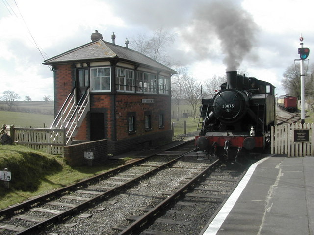
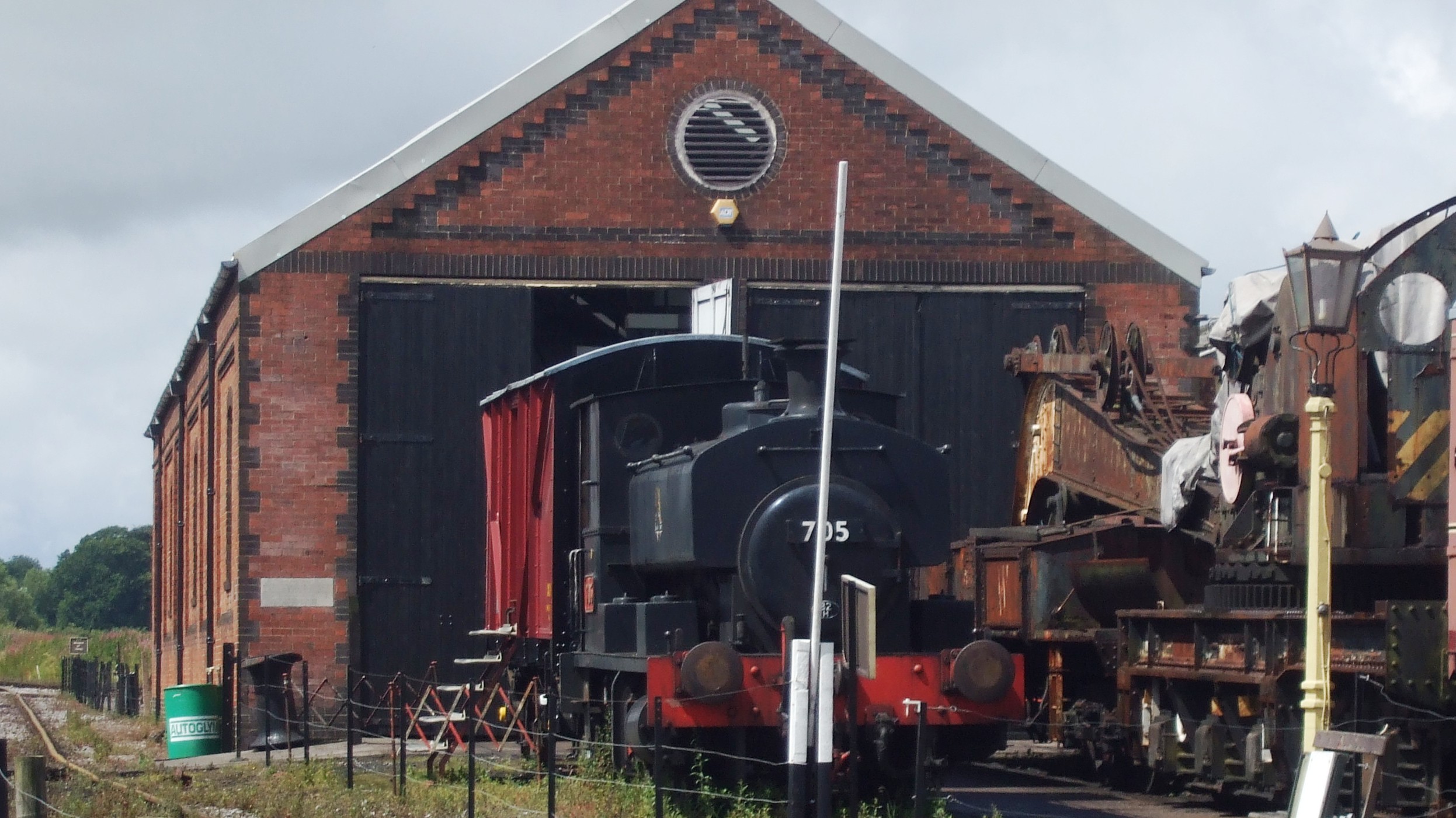
Cranmore railway station

Cranmore is the main railway station (and also the headquarters) of the preserved East Somerset Railway, in Somerset, England. == Services == Various services...

Cranmore West railway station

Cranmore West is a disused railway station on the East Somerset Railway. == Services == Services ceased calling at the beginning of the 2022 season, pending...

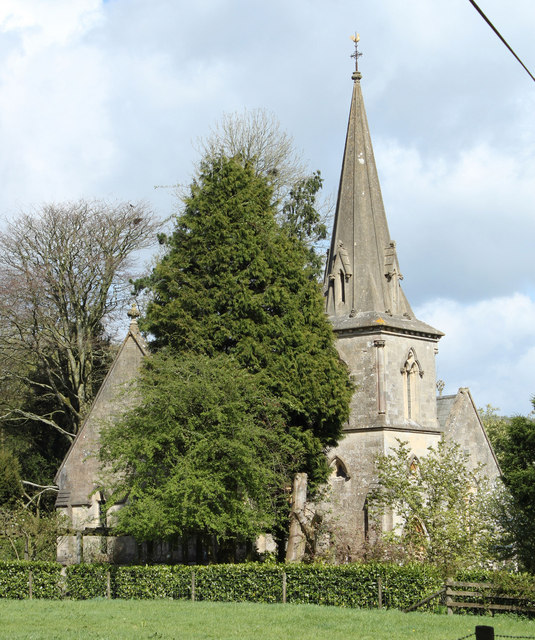
St James' Church, East Cranmore

St James' Church is a former Church of England church in East Cranmore, Somerset, England. Designed by Thomas Henry Wyatt, it was built in 1846 to replace...

Moon's Hill Quarry

Moon's Hill Quarry (grid reference ST665460) is a 3.42 hectare geological Site of Special Scientific Interest at Stoke St Michael in Somerset, notified...

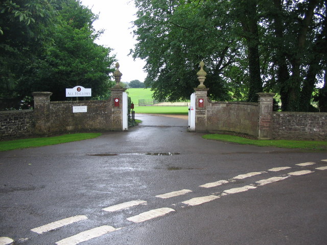
All Hallows Preparatory School

All Hallows School is a non-selective co-educational prep school that provides day and boarding facilities. A Christian School in the Catholic tradition...

Dinies Camp

Dinies Camp is a univallate Iron Age hill fort enclosure in the Mendip district of Somerset, England. The hill fort is situated approximately 1 mile (1...

Nearby Amenities

Located within 500m of 51.197782,-2.4787348
Crossing
Lat/Long: 51.1968452/-2.4804257
The data included in this document is from www.openstreetmap.org. The data is made available under ODbL.

Have you been to Dean Bottom?

Leave your review of Dean Bottom below (or comments, questions and feedback).