Golden Valley

Valley in Herefordshire

England

Golden Valley

Churchyard at St. Giles' church (Acton Beauchamp) The churchyard outside St. Giles' parish church contains many graves as seen here.
Churchyard at St. Giles' church (Acton Beauchamp) Credit: Fabian Musto

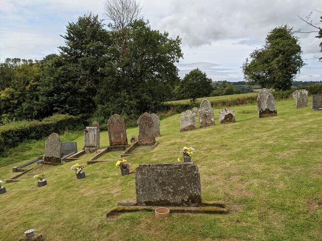
Golden Valley is a charming and picturesque area located in the county of Herefordshire, England. Nestled within the stunning countryside, it is named after the golden hues that encompass the valley during the sunset. The valley is surrounded by rolling hills, lush green fields, and meandering streams, creating a serene and tranquil atmosphere.

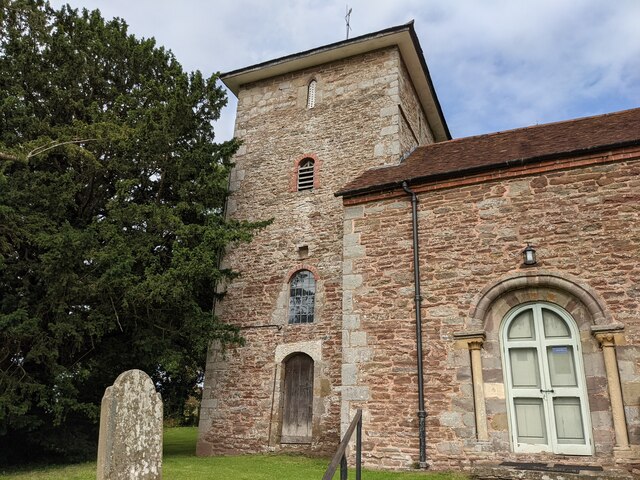
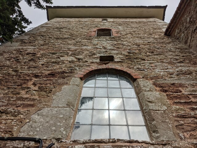
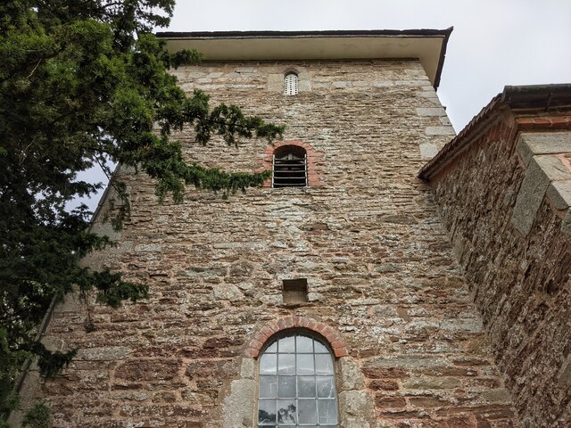
The rural community of Golden Valley is made up of several small villages, including Dorstone, Peterchurch, and Vowchurch. These villages consist of traditional stone cottages, historic churches, and quaint pubs, adding to the area's idyllic charm. The local residents are known for their warm hospitality and strong sense of community.

Residents and visitors alike can enjoy a range of outdoor activities in Golden Valley. The area offers numerous walking and hiking trails, allowing visitors to explore the stunning natural beauty of the region. The iconic Offa's Dyke Path, a long-distance footpath that follows the border between England and Wales, also passes through the valley, attracting many outdoor enthusiasts.

Golden Valley is also a haven for wildlife enthusiasts, as it is home to diverse flora and fauna. The valley's rich biodiversity includes rare species of birds, mammals, and butterflies, making it a popular destination for nature enthusiasts and birdwatchers.

For those seeking a peaceful retreat, Golden Valley offers a range of accommodation options, including cozy bed and breakfasts and traditional country inns. Visitors can indulge in locally sourced, delicious cuisine and sample the region's famous cider and artisanal cheeses.

Overall, Golden Valley in Herefordshire is a hidden gem, offering a haven of natural beauty, tranquility, and traditional English charm.

If you have any feedback on the listing, please let us know in the comments section below.

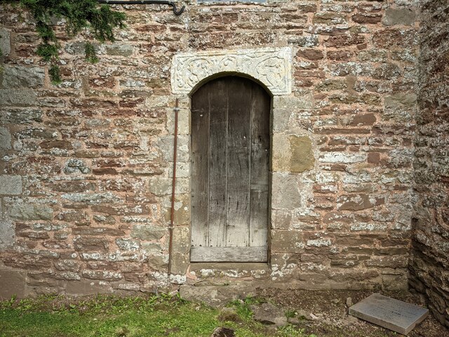
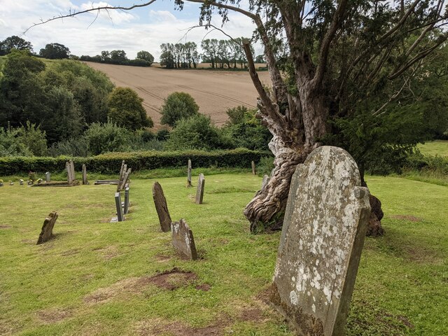
Golden Valley Images

Images are sourced within 2km of 52.14106/-2.4952906 or Grid Reference SO6649. Thanks to Geograph Open Source API. All images are credited.

Churchyard at St. Giles' church (Acton Beauchamp) The churchyard outside St. Giles' parish church contains many graves as seen here.
Churchyard at St. Giles' church (Acton Beauchamp)
The churchyard outside St. Giles' parish church contains many graves as seen here.
St. Giles' church (Bell tower | Acton Beauchamp) Here is the west bell tower at Acton Beauchamp parish church, which is Medieval. The tower has a pyramid roof on top.
St. Giles' church (Bell tower | Acton Beauchamp)
Here is the west bell tower at Acton Beauchamp parish church, which is Medieval. The tower has a pyramid roof on top.
Entrance to St. Giles' church (Bell tower | Acton Beauchamp) Situated on the south face of the west bell tower is this entrance door (locked), with an Anglo-Saxon <a href="https://www.geograph.org.uk/photo/7219573">SO6750 : Lintel at St. Giles' church (Bell tower | Acton Beauchamp)</a> above.
Entrance to St. Giles' church (Bell tower | Acton Beauchamp)
Situated on the south face of the west bell tower is this entrance door (locked), with an Anglo-Saxon SO6750 : Lintel at St. Giles' church (Bell tower | Acton Beauchamp) above.
Churchyard at St. Giles' church (Acton Beauchamp) The churchyard outside St. Giles' parish church contains many graves.
Churchyard at St. Giles' church (Acton Beauchamp)
The churchyard outside St. Giles' parish church contains many graves.
Shed at St. Giles' church (Acton Beauchamp) This disused iron shed is situated north of Acton Beauchamp parish church.
Shed at St. Giles' church (Acton Beauchamp)
This disused iron shed is situated north of Acton Beauchamp parish church.
Farmland at Acton Beauchamp This farmland is situated west of St. Giles parish church.
Farmland at Acton Beauchamp
This farmland is situated west of St. Giles parish church.
Trees at Acton Beauchamp These trees are situated north-west of St. Giles parish church.
Trees at Acton Beauchamp
These trees are situated north-west of St. Giles parish church.
St. Giles' church (Bell tower | Acton Beauchamp) Here is the west bell tower at Acton Beauchamp parish church, which is Medieval. The tower has a pyramid roof on top.
St. Giles' church (Bell tower | Acton Beauchamp)
Here is the west bell tower at Acton Beauchamp parish church, which is Medieval. The tower has a pyramid roof on top.
Trees at Church House (Acton Beauchamp) Glimpse of the farmhouse at Church House Farm from a public footpath. The red-brick building, built in the early 19th century, was grade II listed in April 1973.
Trees at Church House (Acton Beauchamp)
Glimpse of the farmhouse at Church House Farm from a public footpath. The red-brick building, built in the early 19th century, was grade II listed in April 1973.
Entrance gate at St. Giles' church (Acton Beauchamp) This wrought-iron entrance gate is at the north-west tip of the grounds at St. Giles parish church. The gate leads into farmland and a public footpath that goes to St. James parish church in Stanford Bishop.
Entrance gate at St. Giles' church (Acton Beauchamp)
This wrought-iron entrance gate is at the north-west tip of the grounds at St. Giles parish church. The gate leads into farmland and a public footpath that goes to St. James parish church in Stanford Bishop.
St. Giles' church (Bell tower | Acton Beauchamp) Here is the west bell tower at Acton Beauchamp parish church, which is Medieval. The tower has a pyramid roof on top.
St. Giles' church (Bell tower | Acton Beauchamp)
Here is the west bell tower at Acton Beauchamp parish church, which is Medieval. The tower has a pyramid roof on top.
The Venn or Lower Venn Farm Viewed from the now metalled farm road. The Venn as it is now called has landscaped gardens, a pool with waterfall and tennis court.
The Venn or Lower Venn Farm
Viewed from the now metalled farm road. The Venn as it is now called has landscaped gardens, a pool with waterfall and tennis court.
Upper Venn Farm Viewed from the south
Upper Venn Farm
Viewed from the south
Lower Venn Farm Complete with Oast houses, manicured grounds and tennis court and not an animal or piece of farm machinery in sight.
Lower Venn Farm
Complete with Oast houses, manicured grounds and tennis court and not an animal or piece of farm machinery in sight.
Upper Venn Farm Viewed from the west from the footpath to Mundersfield Court.
Upper Venn Farm
Viewed from the west from the footpath to Mundersfield Court.
Show me another place!

Golden Valley is located at Grid Ref: SO6649 (Lat: 52.14106, Lng: -2.4952906)

Unitary Authority: County of Herefordshire

Police Authority: West Mercia

What 3 Words

///deflect.argue.fools. Near Evesbatch, Herefordshire

Related Wikis

Bishop's Frome

Bishop's Frome (or Bishops Frome) is a village and civil parish in eastern Herefordshire, England. The village is 11 miles (18 km) north-east of the city...

Acton Beauchamp

Acton Beauchamp () is a village and civil parish in Herefordshire, England. It is approximately 12 miles (19 km) north-east from the city and county town...

Halmond's Frome

Halmond's Frome is a hamlet in the civil parish of Bishop's Frome in Herefordshire, England, and is 11 miles (18 km) north-east from the city and county...

Evesbatch

Evesbatch is a village and civil parish 12 miles (19 km) north east of Hereford, in the county of Herefordshire, England. In 2001 the parish had a population...

Nearby Amenities

Located within 500m of 52.14106,-2.4952906
Barrier: stile
Lat/Long: 52.1395073/-2.496368
Barrier: stile
Lat/Long: 52.1399064/-2.4967709
Barrier: stile
Lat/Long: 52.1401803/-2.4893515
Barrier: stile
Lat/Long: 52.1403733/-2.4902847
Barrier: stile
Lat/Long: 52.1404831/-2.4966088
Barrier: stile
Lat/Long: 52.1409193/-2.4939792
Barrier: stile
Lat/Long: 52.1409214/-2.4939077
West view
Tourism: apartment
Lat/Long: 52.1388677/-2.5016595
Power: pole
Transformer: distribution
Voltage Primary: 11000
Lat/Long: 52.1390883/-2.4968627
Power: pole
Lat/Long: 52.1392517/-2.4976274
Power: pole
Lat/Long: 52.1394293/-2.4984425
Power: pole
Lat/Long: 52.1395248/-2.4994084
Power: pole
Lat/Long: 52.1396116/-2.5002751
Golden Valley
Power: pole
Transformer: distribution
Voltage Primary: 11000
Lat/Long: 52.1397069/-2.5012216
Power: pole
Lat/Long: 52.1396561/-2.5016497
Batchfields South
Power: pole
Transformer: distribution
Voltage Primary: 11000
Lat/Long: 52.1413909/-2.5025674
Power: pole
Lat/Long: 52.1399464/-2.5023159
Power: pole
Lat/Long: 52.1396003/-2.5021148
Kingstone
Power: pole
Transformer: distribution
Voltage Primary: 11000
Lat/Long: 52.1405271/-2.4894876
Power: pole
Lat/Long: 52.1404065/-2.4886454
The data included in this document is from www.openstreetmap.org. The data is made available under ODbL.

Have you been to Golden Valley?

Leave your review of Golden Valley below (or comments, questions and feedback).