Chesterblade Bottom

Valley in Somerset Mendip

England

Chesterblade Bottom

Maes Down Farm
Maes Down Farm Credit: Roger Cornfoot

Chesterblade Bottom is a picturesque valley located in the county of Somerset, England. Situated near the village of Batcombe, the valley is renowned for its natural beauty and tranquil atmosphere.

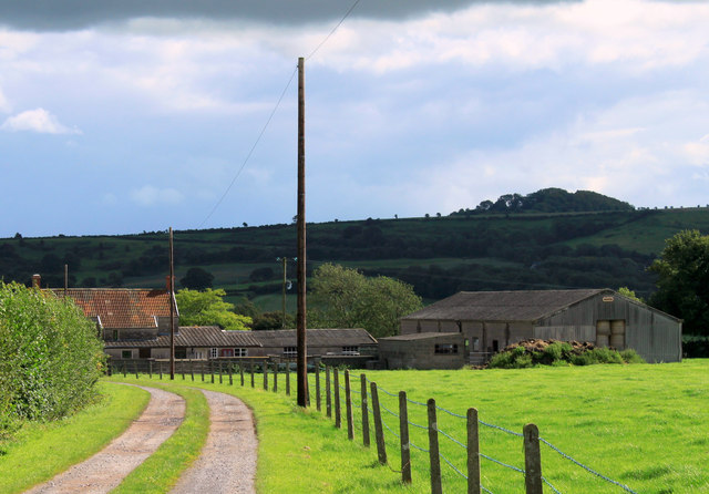
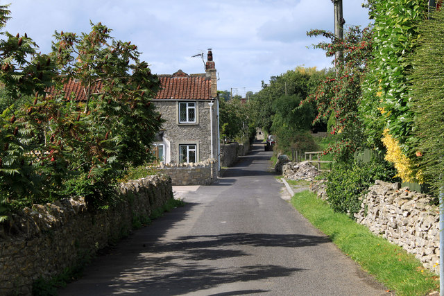
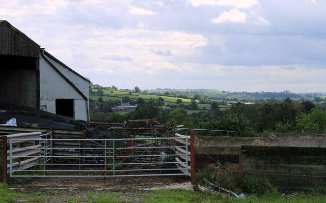
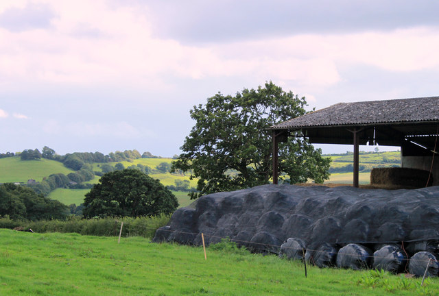
The valley is characterized by rolling hills, lush green meadows, and a meandering river that runs through its heart. The landscape is dotted with charming farmhouses and cottages, adding to the idyllic charm of the area. The river, known as the River Alham, flows gently through the valley, providing a serene setting for picnics and leisurely walks.

Chesterblade Bottom is also home to a variety of wildlife, making it a haven for nature enthusiasts. Visitors can spot a range of bird species, including kingfishers and herons, as well as small mammals like otters and water voles. The valley's rich biodiversity is protected by various conservation initiatives, ensuring the preservation of its natural treasures.

The area surrounding Chesterblade Bottom offers numerous recreational activities for visitors to enjoy. There are several walking trails that meander through the valley, allowing hikers to explore the stunning countryside and take in breathtaking views. The valley is also popular with cyclists, who can navigate the quiet country lanes and experience the beauty of the Somerset countryside.

Overall, Chesterblade Bottom is a hidden gem in Somerset, offering a peaceful respite from the hustle and bustle of everyday life. Its scenic landscape, diverse wildlife, and range of outdoor activities make it an ideal destination for nature lovers and those seeking a tranquil retreat.

If you have any feedback on the listing, please let us know in the comments section below.

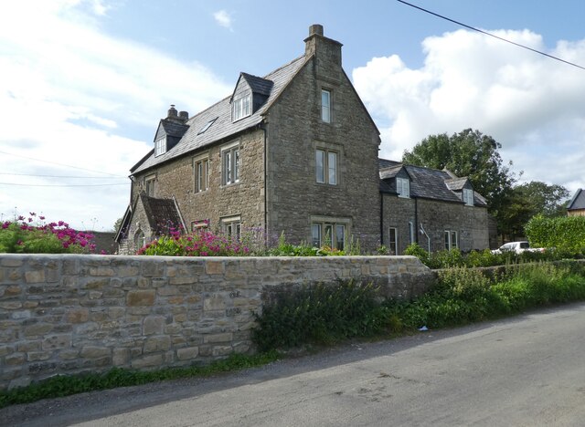
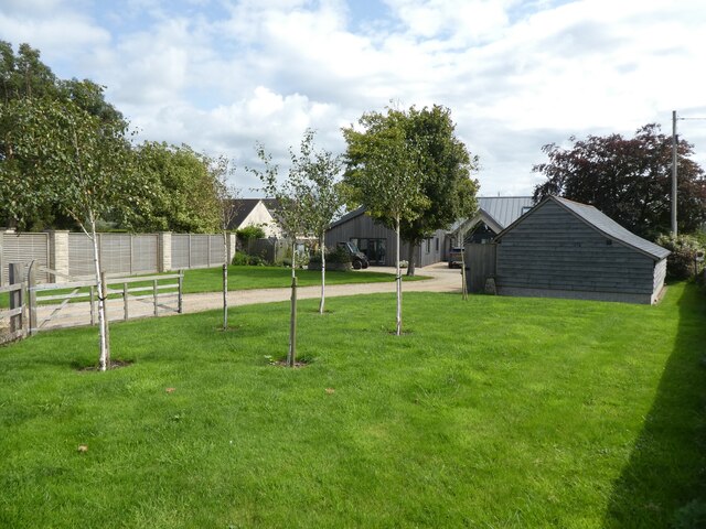
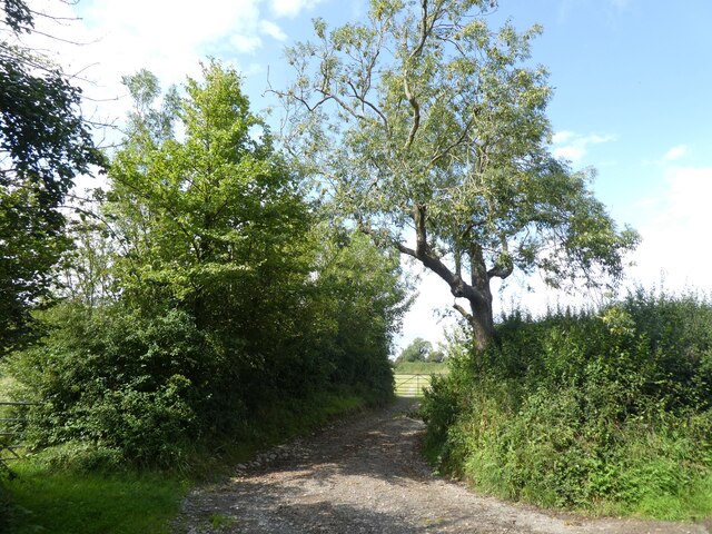
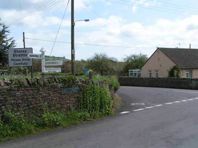
Chesterblade Bottom Images

Images are sourced within 2km of 51.166343/-2.4901368 or Grid Reference ST6540. Thanks to Geograph Open Source API. All images are credited.

Maes Down Farm
Maes Down Farm
'Hilltops'
'Hilltops'
Farm track, north of Chesterblade Road
Power lines above Prestleigh
Signpost on Maesdown Road A signpost in need of maintenance, on Maesdown Road, just south of Maesdown Bridge.
Signpost on Maesdown Road
A signpost in need of maintenance, on Maesdown Road, just south of Maesdown Bridge.
Stoney Stratton Ford at Back Lane over Stoney Brook in Stoney Stratton
Stoney Stratton
Ford at Back Lane over Stoney Brook in Stoney Stratton
Stoney Brook at Stoney Stratton
Evercreech Primary School
Cricket on the Recreational Field A charming village sight, the local match and the cricketers in their whites.
Cricket on the Recreational Field
A charming village sight, the local match and the cricketers in their whites.
Entrance to Fossecombe A view looking to the south from Westcombe Road, towards the entrance to Fossecombe.
Entrance to Fossecombe
A view looking to the south from Westcombe Road, towards the entrance to Fossecombe.
Farmland off Westcombe Road A view looking to the east over farmland from the entrance to Fossecombe. Westcombe Road runs behind the hedge on the left. Fosse Combe Gully is behind the hedge to the right.
Farmland off Westcombe Road
A view looking to the east over farmland from the entrance to Fossecombe. Westcombe Road runs behind the hedge on the left. Fosse Combe Gully is behind the hedge to the right.
High Street, Stoney Stratton
Stone wall on Broad Street, Stoney Stratton
Stoney Stratton: postbox № BA4 91 The village postbox, set quite low in this wall, is emptied at 11 o'clock on weekday mornings and at 9am on Saturdays.
Stoney Stratton: postbox № BA4 91
The village postbox, set quite low in this wall, is emptied at 11 o'clock on weekday mornings and at 9am on Saturdays.
2011 : Drive to Fosse Combe Cottage OS Explorer 142 calls it a cottage but looks more like a farm to me.
The hill in the background keeps itself in the shadow because it is in the next grid square.
2011 : Drive to Fosse Combe Cottage
OS Explorer 142 calls it a cottage but looks more like a farm to me. The hill in the background keeps itself in the shadow because it is in the next grid square.
2011 : Back Lane, Stoney Stratton Stoney Stratton is a village well blessed with farms, five in one grid square. Home Farm is at the end of Back Lane, about as far along as you can see, Heaven Farm is to the right of the camera position, Stratton Farm and Higher Farm are on High Street and Broad Street Farm is on Broad Street (where else?).
2011 : Back Lane, Stoney Stratton
Stoney Stratton is a village well blessed with farms, five in one grid square. Home Farm is at the end of Back Lane, about as far along as you can see, Heaven Farm is to the right of the camera position, Stratton Farm and Higher Farm are on High Street and Broad Street Farm is on Broad Street (where else?).
2011 : Farm buildings south of Westcombe Road Looking south between Stoney Stratton and Westcombe.
Fosse Combe Gully is beyond the farm buildings with Manor Farm beyond that, a church tower is almost hidden by trees, visible in the enlarged version. Seems to be connected to the farm, possibly all that is left of a lost village.
2011 : Farm buildings south of Westcombe Road
Looking south between Stoney Stratton and Westcombe. Fosse Combe Gully is beyond the farm buildings with Manor Farm beyond that, a church tower is almost hidden by trees, visible in the enlarged version. Seems to be connected to the farm, possibly all that is left of a lost village.
2011 : Corner of a barn seen from Westcombe Road With plastic wrapped hay bales covered with a mesh for further protection (could be straw).
The view beyond is to the hill above Milton Clevedon.
2011 : Corner of a barn seen from Westcombe Road
With plastic wrapped hay bales covered with a mesh for further protection (could be straw). The view beyond is to the hill above Milton Clevedon.
Show me another place!

Chesterblade Bottom is located at Grid Ref: ST6540 (Lat: 51.166343, Lng: -2.4901368)

Administrative County: Somerset

District: Mendip

Police Authority: Avon and Somerset

What 3 Words

///soak.overture.rubble. Near Evercreech, Somerset

Nearby Locations

Chesterblade Bottom

Related Wikis

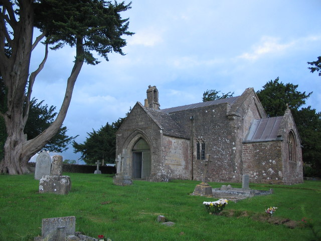
Church of St Mary, Chesterblade

The Anglican Church of St Mary in Chesterblade, Somerset, England was built in the 12th century. It is a Grade II* listed building. It is located 3 miles...
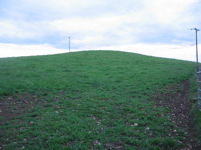
Small Down Knoll

Small Down Knoll, or Small Down Camp, is a Bronze Age hill fort near Evercreech in Somerset, England. The hill is on the southern edge of the Mendip Hills...

Maes Down

Maes Down (grid reference ST647406) is a 0.2 hectare geological Site of Special Scientific Interest between Shepton Mallet and Stoney Stratton in Somerset...

Merryfield Lane railway station

Merryfield Lane Halt is a railway station at the summit of the East Somerset Railway. It was built in 1981 and originally served as the terminus of the...

Nearby Amenities

Located within 500m of 51.166343,-2.4901368
Holcombe Farm
Place: isolated_dwelling
Source: OS7
Lat/Long: 51.1684814/-2.4954433
The data included in this document is from www.openstreetmap.org. The data is made available under ODbL.

Have you been to Chesterblade Bottom?

Leave your review of Chesterblade Bottom below (or comments, questions and feedback).