Leadenham
Settlement in Lincolnshire North Kesteven
England
Leadenham
Leadenham is a picturesque village located in the county of Lincolnshire, England. Situated approximately 15 miles southwest of the historic city of Lincoln, the village lies in the district of North Kesteven. With a population of around 800 residents, it offers a peaceful and close-knit community atmosphere.
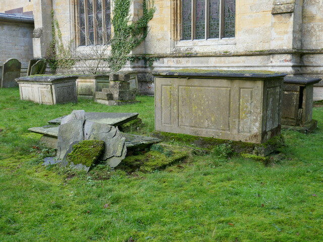
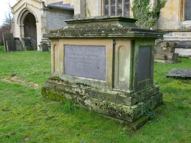
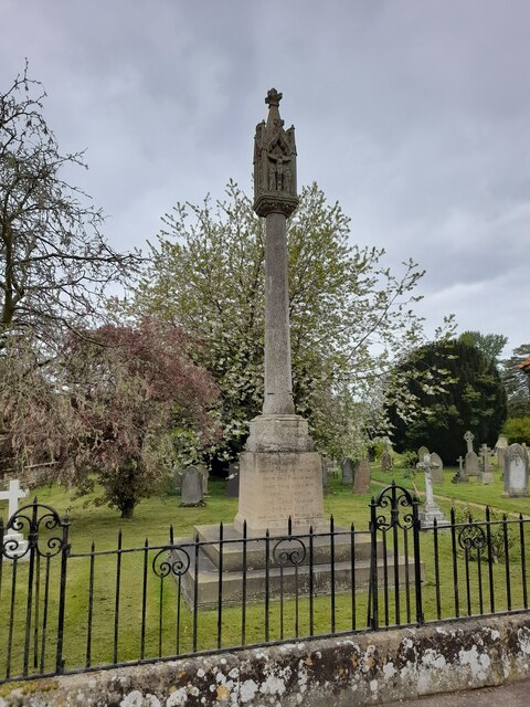
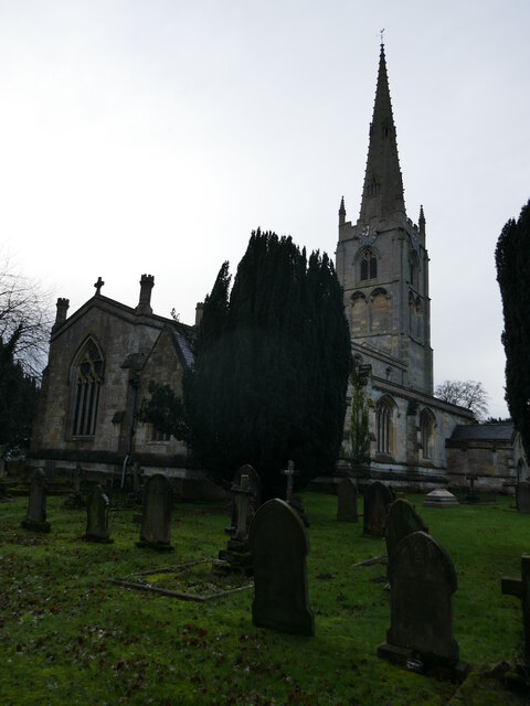
The village is known for its charming and well-preserved stone-built cottages, giving it a quintessential English countryside feel. Leadenham is particularly famous for its impressive Grade I listed church, St. Swithin's, which dates back to the 12th century. The church features stunning stained glass windows and intricate carvings, attracting visitors from near and far.
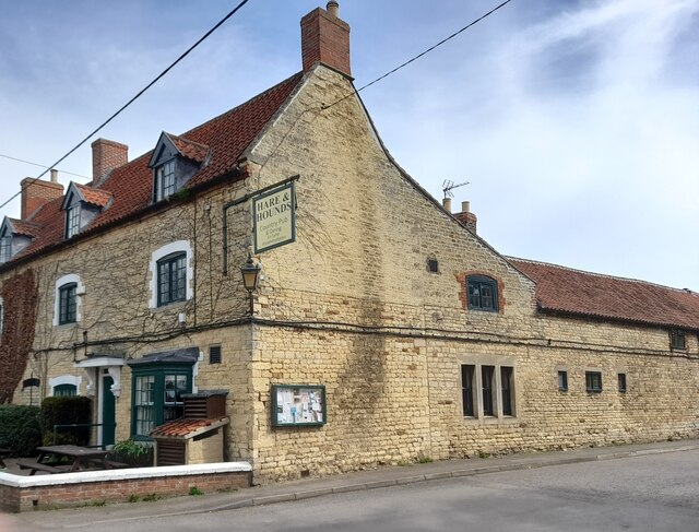
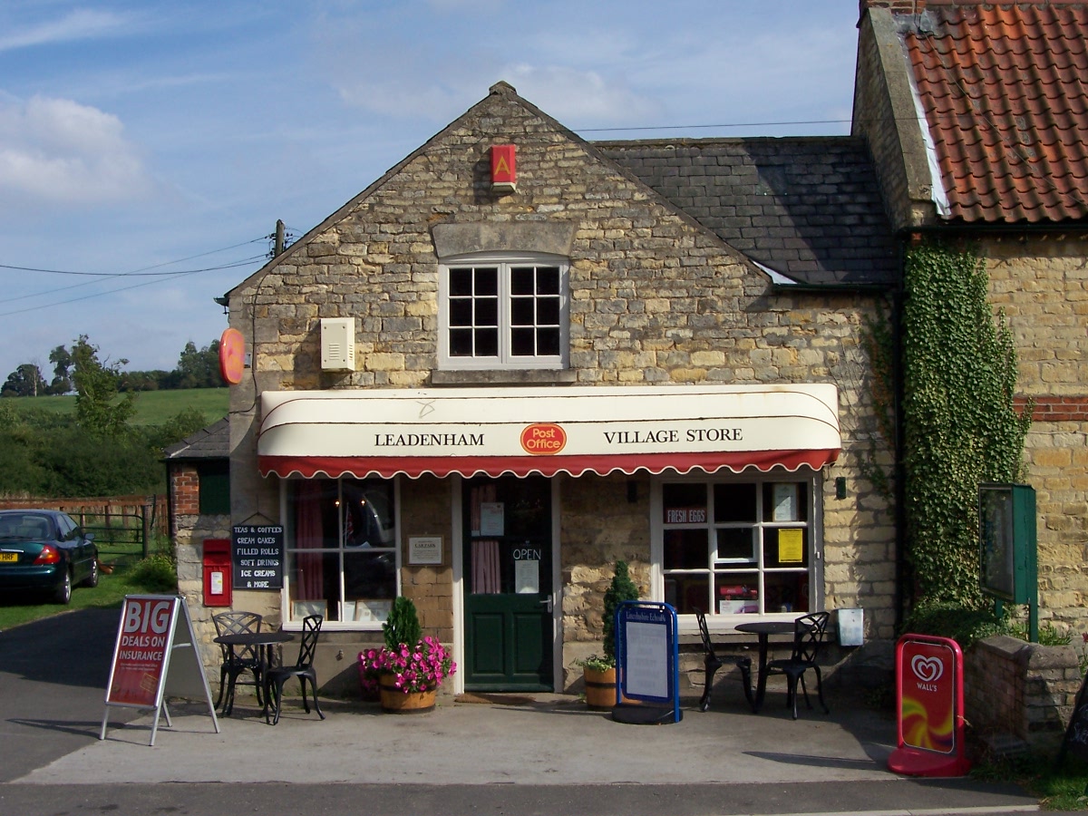
Leadenham boasts a range of amenities for its residents and visitors, including a village shop, a post office, and a traditional pub serving delicious food and refreshing beverages. The village also hosts various community events throughout the year, such as the Leadenham Polo Club matches and the annual Leadenham Village Show.
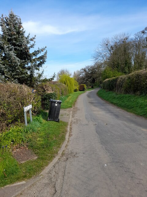
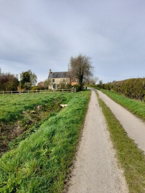
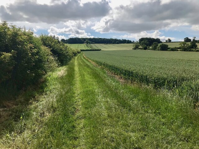
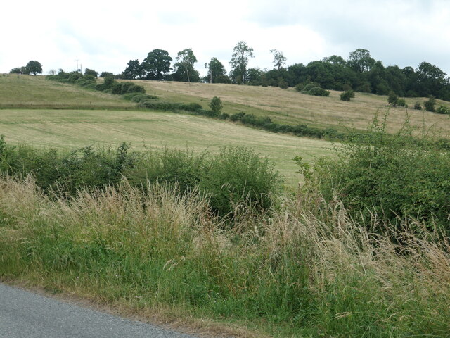
Surrounded by rolling farmland and beautiful countryside, Leadenham offers ample opportunities for outdoor activities. The village is crisscrossed by footpaths and bridleways, making it a haven for walkers, cyclists, and horse riders. Additionally, the nearby Viking Way long-distance footpath passes through the village, further adding to its appeal for nature enthusiasts.
Overall, Leadenham is a charming and idyllic village that showcases the natural beauty and rich history of Lincolnshire. With its strong sense of community and stunning surroundings, it continues to attract both residents and visitors seeking a tranquil retreat.
If you have any feedback on the listing, please let us know in the comments section below.
Leadenham Images
Images are sourced within 2km of 53.058615/-0.583247 or Grid Reference SK9552. Thanks to Geograph Open Source API. All images are credited.


![Building at Lincoln Road Industrial Estate, Leadenham This building [and others behind] are shown on the OS map surveyed in 1960 and look to date from the Second World War.](https://s0.geograph.org.uk/geophotos/07/22/05/7220596_c2b7163a.jpg)


Leadenham is located at Grid Ref: SK9552 (Lat: 53.058615, Lng: -0.583247)
Division: Parts of Kesteven
Administrative County: Lincolnshire
District: North Kesteven
Police Authority: Lincolnshire
What 3 Words
///teardrop.drive.latest. Near Caythorpe, Lincolnshire
Nearby Locations
Related Wikis
Leadenham
Leadenham is a village and civil parish in North Kesteven district of Lincolnshire, England. The population of the civil parish at the 2011 census was...

Leadenham House
Leadenham House is a Grade II* listed Georgian country house in Leadenham, Lincolnshire, England.The house is constructed in '2½ storeys' of ashlar and...
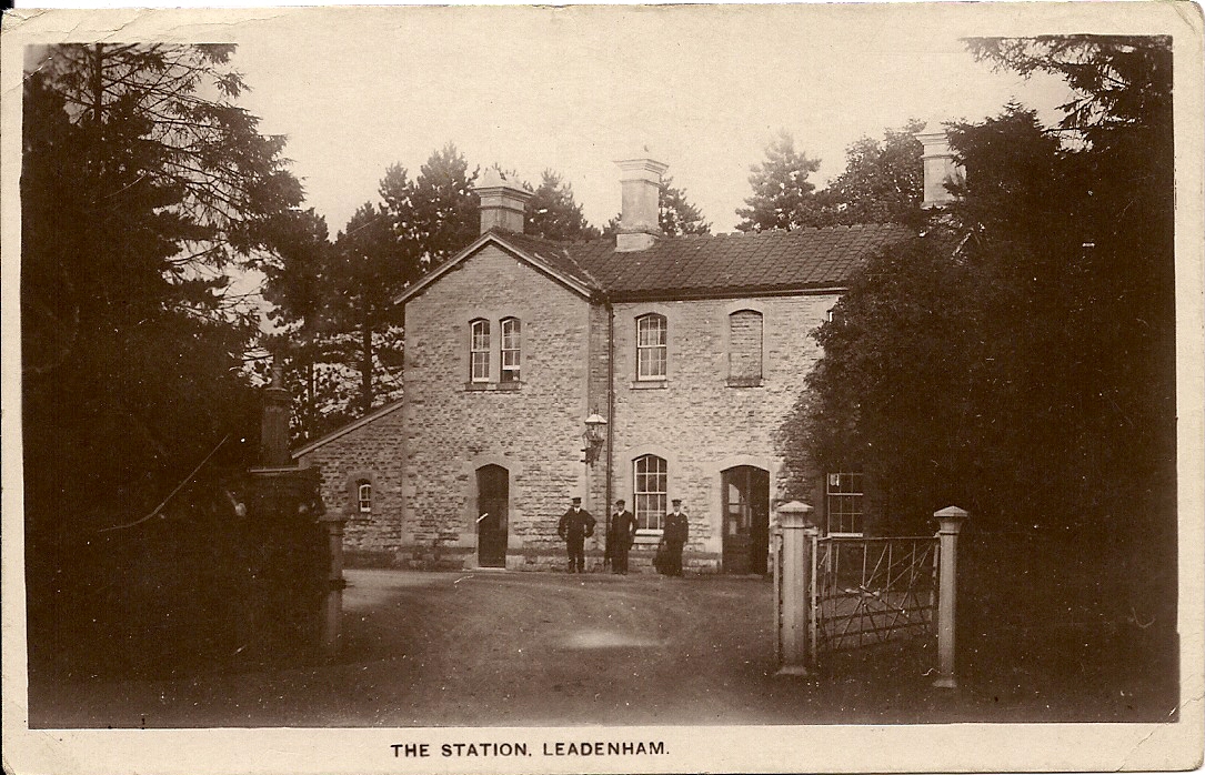
Leadenham railway station
Leadenham railway station was a railway station in Leadenham, Lincolnshire. It closed on 1 November 1965. The station was located on Main Road, being built...

Sir William Robertson Academy
Sir William Robertson Academy (formerly Sir William Robertson High School) is a coeducational secondary school of around 1000 pupils, situated in Welbourn...
Related Videos
Fulbeck Village Walk, English Countryside 4K
https://www.buymeacoffee.com/Daveswalks All support is hugely appreciated and it helps me keep the channel going! No talking ...

Fulbeck|Lincolnshire|UK|Virtual Walk|Dog Walking Route|4K
A man, his best mate and a camera: An early morning walk around Fulbeck and the Lincoln Cliff, Lincolnshire. Made for viewers ...
Rural areas# Uk School# Impact on early Nourishment of Children # Hazrat Muhammad# In Arab village
School in the rural Area of Lincoln and Nottingham City/ Many children from urban areas come there. The school is located in the ...

LEADENHAM: North Kesteven Parish #9 of 75
NORTH KESTEVEN PARISH #9: LEADENHAM The last of the cliff villages in North Kesteven, welcome to Leadenham, which is ...
Nearby Amenities
Located within 500m of 53.058615,-0.583247Have you been to Leadenham?
Leave your review of Leadenham below (or comments, questions and feedback).