Foxhole Cleugh

Valley in Northumberland

England

Foxhole Cleugh

Bridge over the River South Tyne near Coanwood
Bridge over the River South Tyne near Coanwood Credit: Sandy Gerrard

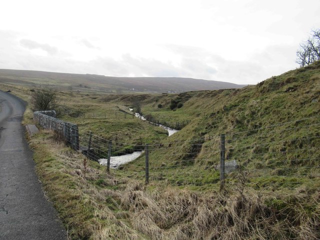
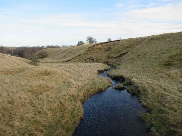
Foxhole Cleugh is a picturesque valley nestled in the county of Northumberland, England. Located in the northern part of the country, this idyllic landscape is known for its stunning natural beauty and rich history. The valley stretches over several miles, encompassing an array of diverse habitats, including woodlands, meadows, and a meandering river.

The name "Foxhole Cleugh" is derived from the combination of two words - "foxhole," referring to a small burrow typically occupied by foxes, and "cleugh," a local term for a narrow valley or ravine. This name perfectly encapsulates the essence of this enchanting location.

The valley is renowned for its breathtaking scenic views, particularly during the spring and summer months when the surrounding flora is in full bloom. The vibrant colors of wildflowers, such as bluebells and primroses, create a captivating tapestry against the backdrop of lush greenery. Additionally, the river that winds its way through the valley provides a tranquil setting, attracting both nature enthusiasts and photographers.

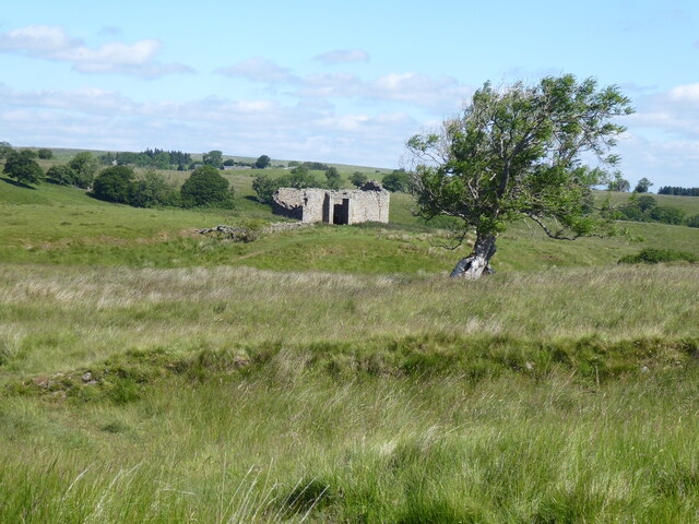
In terms of history, Foxhole Cleugh boasts remnants of its past, including the ruins of an ancient castle that once stood proudly on the hillside overlooking the valley. These ruins serve as a reminder of the valley's strategic importance during medieval times.

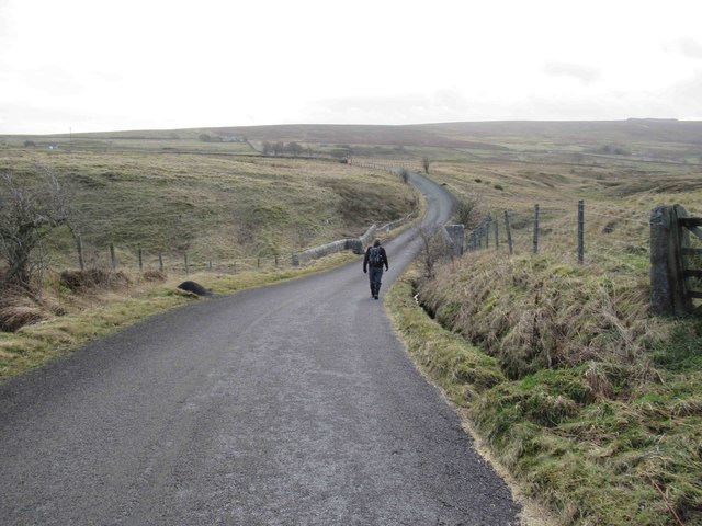
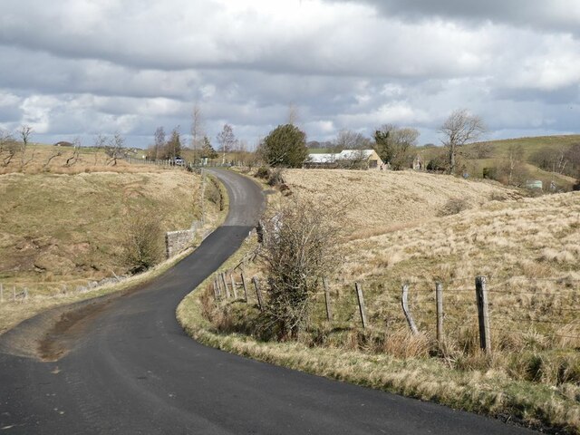
Visitors to Foxhole Cleugh can partake in a variety of recreational activities, such as hiking, birdwatching, and picnicking. The well-maintained walking trails cater to all levels of fitness, offering both leisurely strolls and more challenging hikes for the adventurous.

Overall, Foxhole Cleugh is a hidden gem in Northumberland, offering a harmonious blend of natural beauty and historical significance. It is a destination that captivates the senses and provides a sanctuary for those seeking respite in the midst of nature's splendor.

If you have any feedback on the listing, please let us know in the comments section below.

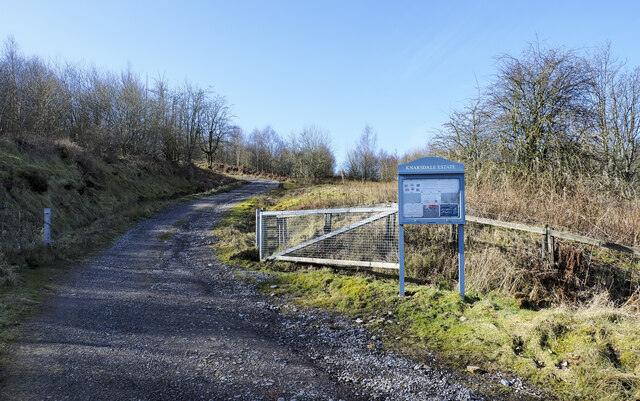
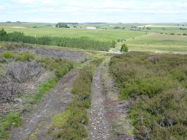
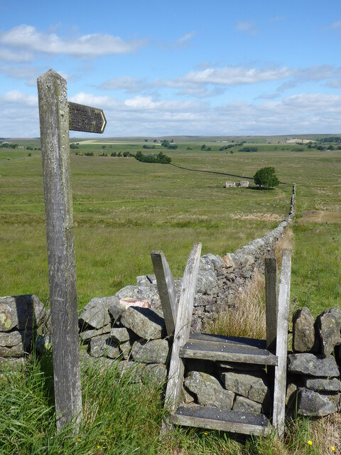
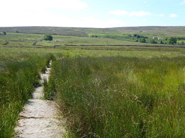
Foxhole Cleugh Images

Images are sourced within 2km of 54.935436/-2.5372021 or Grid Reference NY6560. Thanks to Geograph Open Source API. All images are credited.

Bridge over the River South Tyne near Coanwood
Hill road climbing into forestry area The road climbs from the A689 at Halton Lea Gate to Hartleyburn Common through a rectangular area of what OS maps show as a coniferous plantation, although the plantings don't cover its whole area.
Attitudes to access by the road have changed: the Knarsdale Estate notice in view gives a welcoming message to visitors. They were not always wanted: out of view in the image there's an old, broken sign discouraging entry.
Hill road climbing into forestry area
The road climbs from the A689 at Halton Lea Gate to Hartleyburn Common through a rectangular area of what OS maps show as a coniferous plantation, although the plantings don't cover its whole area. Attitudes to access by the road have changed: the Knarsdale Estate notice in view gives a welcoming message to visitors. They were not always wanted: out of view in the image there's an old, broken sign discouraging entry.
Track to the A689 near Halton Lea Gate It is easy to miss the Pennine Way turning half right off this track.
Track to the A689 near Halton Lea Gate
It is easy to miss the Pennine Way turning half right off this track.
The Pennine Way heading North from the A689
The Pennine Way near Holly Rigg
The Pennine Way near High House
Birch-lined track between Midgeholm and Halton-Lea-Gate The track follows the former route of industrial railways later part of the Brampton Branch.

This photograph was taken during the Coronavirus (COVID-19) pandemic of 2020/21/22.
Birch-lined track between Midgeholm and Halton-Lea-Gate
The track follows the former route of industrial railways later part of the Brampton Branch. This photograph was taken during the Coronavirus (COVID-19) pandemic of 2020/21/22.
Diamond Oak A majestic oak tree shown on Ordnance Survey 1:25k mapping and on mapping as far back as 1865.  Forum entries at <span class="nowrap"><a title="https://www.rootschat.com/forum/index.php?topic=718482.0" rel="nofollow ugc noopener" href="https://www.rootschat.com/forum/index.php?topic=718482.0">Link</a><img style="margin-left:2px;" alt="External link" title="External link - shift click to open in new window" src="https://s1.geograph.org.uk/img/external.png" width="10" height="10"/></span> debate the reasons for the naming but fail to draw a definitive conclusion.

This photograph was taken during the Coronavirus (COVID-19) pandemic of 2020/21/22.
Diamond Oak
A majestic oak tree shown on Ordnance Survey 1:25k mapping and on mapping as far back as 1865. Forum entries at LinkExternal link debate the reasons for the naming but fail to draw a definitive conclusion. This photograph was taken during the Coronavirus (COVID-19) pandemic of 2020/21/22.
Tam O Shanter Cottage
Welcome to Cumbria: A689 enters Midgeholme
On Haltonlea Fell looking towards Halton-Lea-Gate
Greenriggs Caravan Site
Country Lane towards A689
Black Burn
Black Burn
Black Burn
Black Burn
Line of the Lambley to Carlisle Railway Line. Footbridge over the track?
Line of the Lambley to Carlisle Railway Line.
Footbridge over the track?
The road from Lambley to Burnfoot Although this might be the shortest way from Lambley to Haltwhistle, it includes some vicious little hills where it crosses side valleys of the South Tyne.
The road from Lambley to Burnfoot
Although this might be the shortest way from Lambley to Haltwhistle, it includes some vicious little hills where it crosses side valleys of the South Tyne.
Minor road crossing the Black Burn Greenriggs Cottage can be seen  in the middle distance.
Minor road crossing the Black Burn
Greenriggs Cottage can be seen in the middle distance.
Show me another place!

Foxhole Cleugh is located at Grid Ref: NY6560 (Lat: 54.935436, Lng: -2.5372021)

Unitary Authority: Northumberland

Police Authority: Northumbria

What 3 Words

///minimums.powers.happily. Near Greenhead, Northumberland

Related Wikis

Halton Lea Gate

Halton Lea Gate is a small village in Northumberland, England, on the A689 road close to the boundary of the counties of Northumberland and Cumbria. The...

Featherstone Castle

Featherstone Castle, a Grade I listed building, is a large Gothic style country mansion situated on the bank of the River South Tyne about 3 miles (5 km...

Featherstone, Northumberland

Featherstone is a village in Northumberland, England about 17 miles (27 km) west of Hexham, and about 3 kilometres (2 mi) south of Greenhead. == Featherstone... ==

Midgeholme Coalfield

The Midgeholme Coalfield is a coalfield in Midgeholme, on the border of Cumbria with Northumberland in northern England. It is the largest of a series...

Nearby Amenities

Located within 500m of 54.935436,-2.5372021
The data included in this document is from www.openstreetmap.org. The data is made available under ODbL.

Have you been to Foxhole Cleugh?

Leave your review of Foxhole Cleugh below (or comments, questions and feedback).