Blakethwaite Bottom
Valley in Westmorland Eden
England
Blakethwaite Bottom
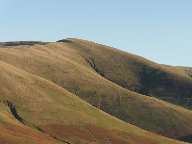
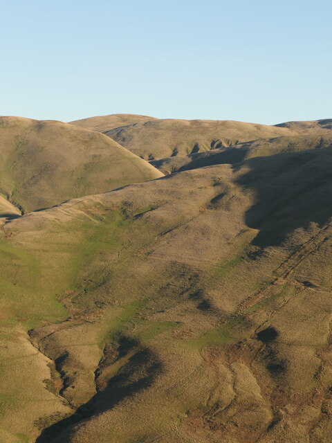
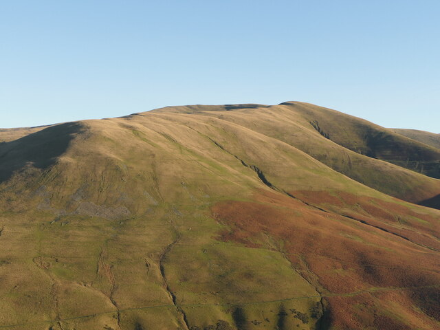
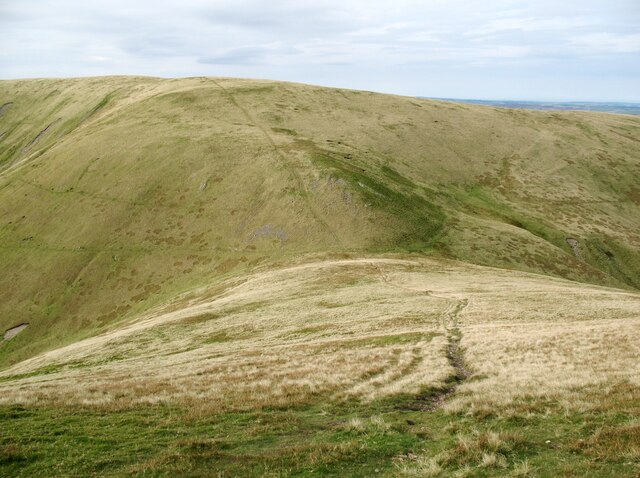
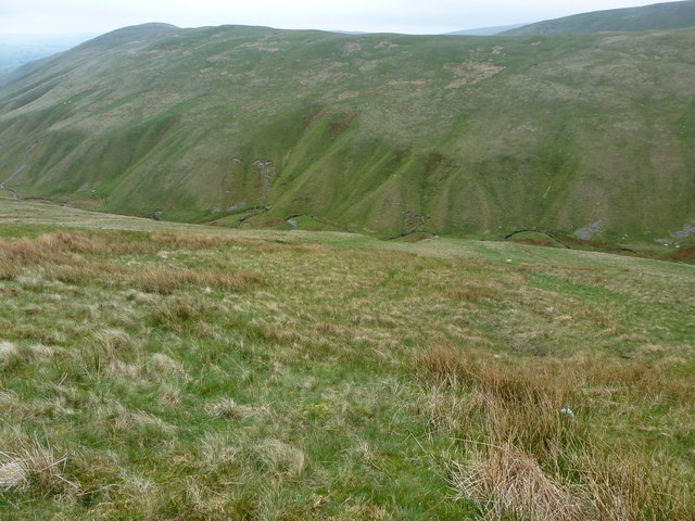
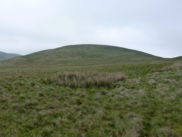
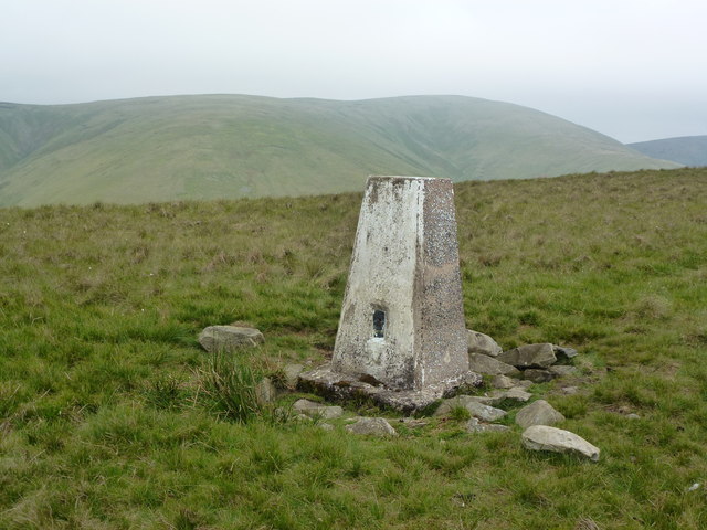
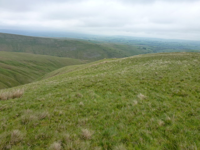
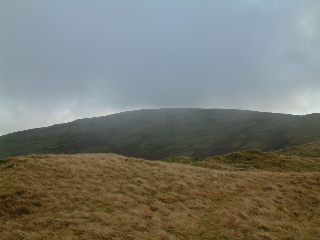
Blakethwaite Bottom is a picturesque valley located in the county of Westmorland, in northwestern England. Situated amidst the stunning landscape of the Lake District National Park, this valley stands as a testament to the region's natural beauty.
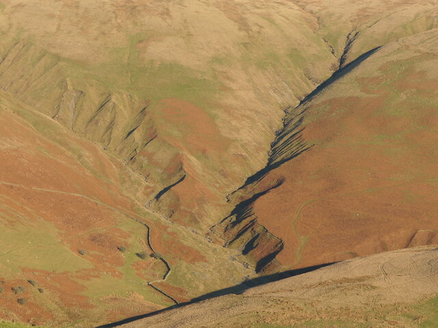
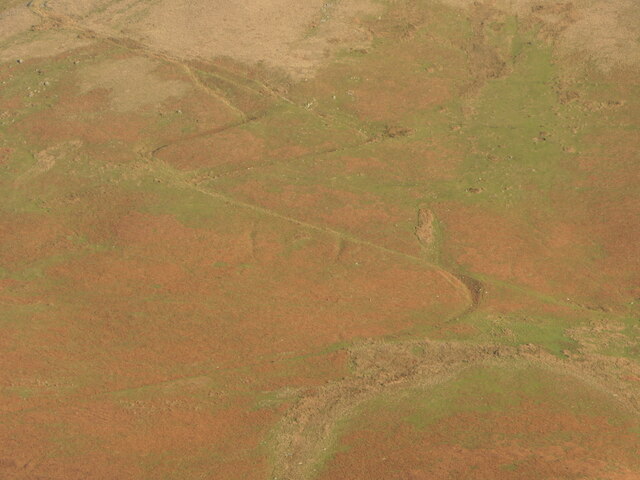
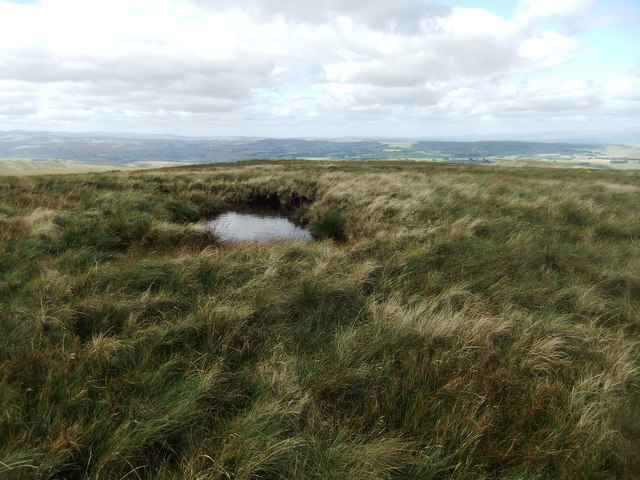
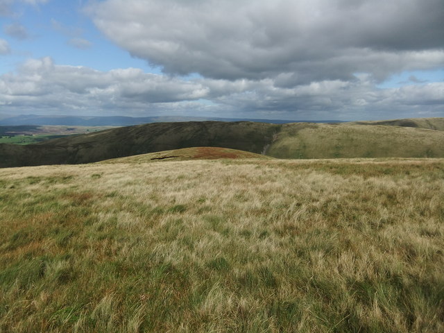
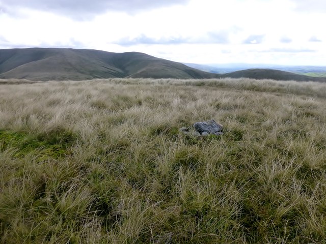
Surrounded by rolling hills and lush greenery, Blakethwaite Bottom is a haven for nature enthusiasts and outdoor adventurers. The valley is home to a diverse range of plant and animal species, making it an ideal spot for wildlife spotting and birdwatching. Visitors can expect to see an array of native birds, including buzzards, kestrels, and skylarks.
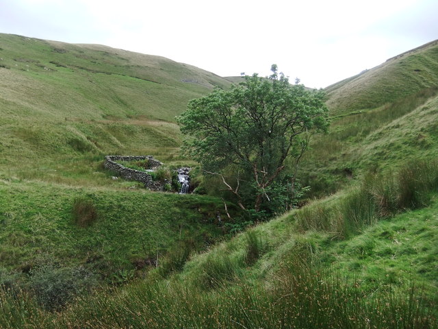
The valley is also intersected by a meandering river, which adds to its charm and tranquility. The river provides a perfect setting for leisurely walks along its banks or for a peaceful picnic on its shores. Additionally, the crystal-clear waters of the river offer a refreshing opportunity for swimming and kayaking during the warmer months.
Blakethwaite Bottom is not only a natural paradise but also boasts a rich historical significance. The valley is dotted with remnants of ancient stone circles and burial mounds, which serve as a reminder of the area's prehistoric past. These archaeological sites attract history enthusiasts who are keen to explore the valley's cultural heritage.
Overall, Blakethwaite Bottom is a hidden gem in Westmorland that offers a unique blend of natural splendor and historical intrigue. Whether one seeks outdoor adventure or a peaceful retreat, this valley provides an idyllic escape from the hustle and bustle of modern life.
If you have any feedback on the listing, please let us know in the comments section below.
Blakethwaite Bottom Images
Images are sourced within 2km of 54.394508/-2.5461406 or Grid Reference NY6400. Thanks to Geograph Open Source API. All images are credited.


Blakethwaite Bottom is located at Grid Ref: NY6400 (Lat: 54.394508, Lng: -2.5461406)
Administrative County: Cumbria
District: Eden
Police Authority: Cumbria
What 3 Words
///tadpoles.pine.pyramid. Near Sedbergh, Cumbria
Nearby Locations
Related Wikis

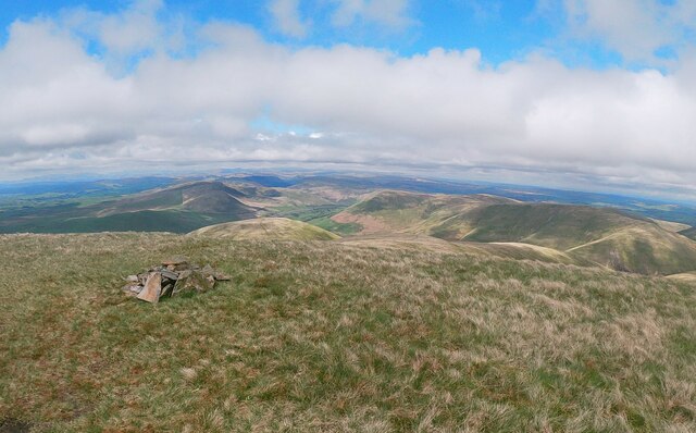
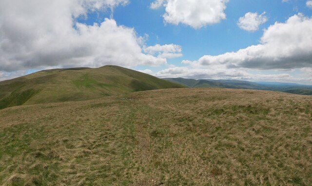
Howgill Fells
The Howgill Fells are uplands in Northern England between the Lake District and the Yorkshire Dales, lying roughly within a triangle formed by the town...

Low Gill railway station
Low Gill railway station served the hamlet of Lowgill, Westmorland (now in Cumbria), England, from 1846 to 1966 on the Lancaster and Carlisle Railway....

The Calf
The Calf, at 676 m, is the highest top in the Howgill Fells, an area of high ground in the north-west of the Yorkshire Dales in the county of Cumbria...
Randygill Top
Randygill Top is a mountain located in the Howgill Fells, Cumbria (historically Westmorland), England. == References ==

Yarlside
Yarlside is a hill in the Howgill Fells, Cumbria (historically Westmorland), England. This fell is not to be confused with the Yarlside area near Barrow...

Tebay rail accident
The Tebay rail accident occurred when four railway workers working on the West Coast Main Line were killed by a runaway wagon near Tebay, Cumbria, England...

Calders (Yorkshire Dales)
Calders is a summit of 2,211 feet (674 m) in the Howgill Fells, Cumbria, England. It lies about 2⁄3 mile (1 km) south east of the summit of The Calf and...
Grayrigg Forest
Grayrigg Forest is a hill in Cumbria, England, located on the eastern edge of what might be considered the Lake District, and in August 2016 becoming part...
Related Videos

The Calf via Cautley Spout
Todays wanderings were up on to The Calf, the higest point in the Howgills. Took the route up from the Cross Keys Inn outside ...
Howgills
A bit of an XC ride partly due to a turn of events on the morning of the ride with a flat tyre on my full suss and too much faff to sort it ...
Nearby Amenities
Located within 500m of 54.394508,-2.5461406Have you been to Blakethwaite Bottom?
Leave your review of Blakethwaite Bottom below (or comments, questions and feedback).