Brinsell Dingle

Valley in Worcestershire Malvern Hills

England

Brinsell Dingle

Farming Telegraph Poles These telegraph poles are almost ready for harvesting just as soon as they grow the footpegs on the top.  Hop poles really, I believe.
Farming Telegraph Poles Credit: Michael Patterson

The requested URL returned error: 429 Too Many Requests

If you have any feedback on the listing, please let us know in the comments section below.

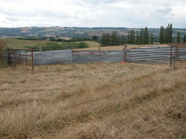
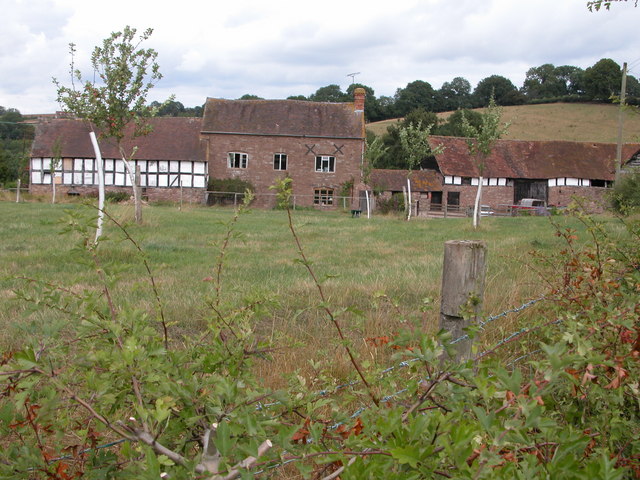
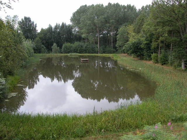
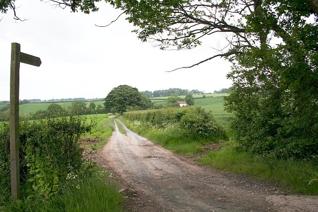
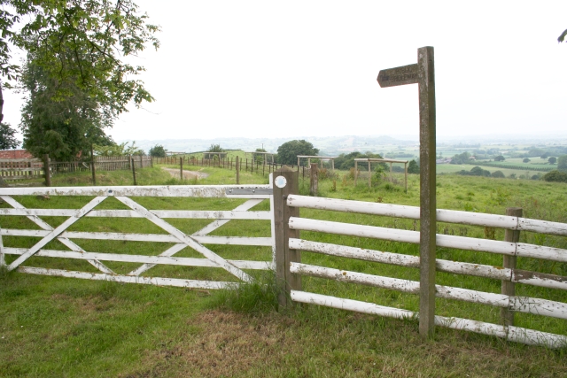
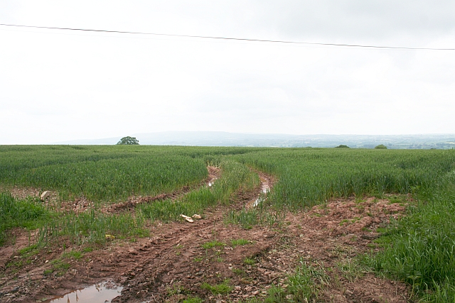
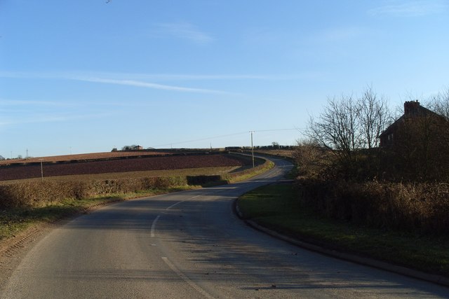
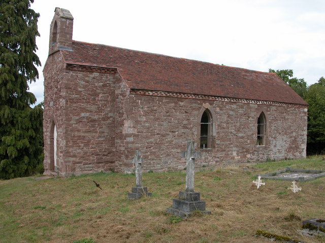
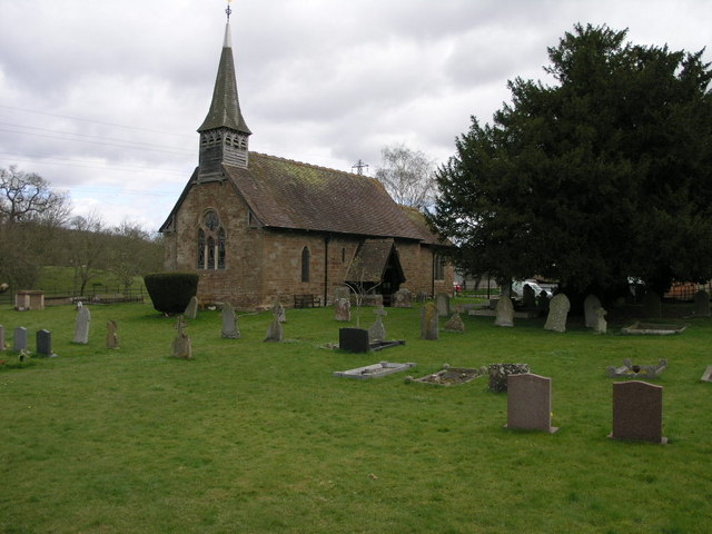
Brinsell Dingle Images

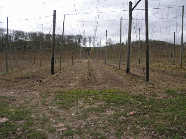
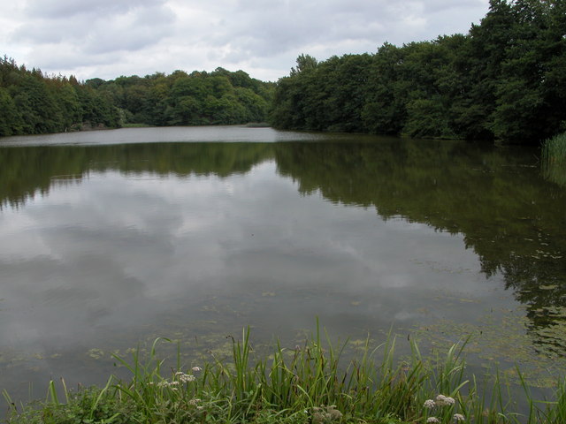
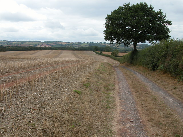
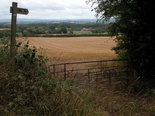
Images are sourced within 2km of 52.289891/-2.5257735 or Grid Reference SO6465. Thanks to Geograph Open Source API. All images are credited.

Farming Telegraph Poles These telegraph poles are almost ready for harvesting just as soon as they grow the footpegs on the top.  Hop poles really, I believe.
Farming Telegraph Poles
These telegraph poles are almost ready for harvesting just as soon as they grow the footpegs on the top. Hop poles really, I believe.
Kyre Pool Kyre Pool is situated in a former deer park.
Kyre Pool
Kyre Pool is situated in a former deer park.
Farm track at SO638652 View to the west
Farm track at SO638652
View to the west
Newhouse Farm, Hanley Child View from the footpath at SO645651.
Newhouse Farm, Hanley Child
View from the footpath at SO645651.
Hanley Child Church This small church in the isolated parish of Hanley Child is dedicated to St Michael and All Angels.
Hanley Child Church
This small church in the isolated parish of Hanley Child is dedicated to St Michael and All Angels.
Livestock pens, Hanley Child These livestock pens are in a field just to the west of Hanley Child.
Livestock pens, Hanley Child
These livestock pens are in a field just to the west of Hanley Child.
Farm at Hanley Child Farmhouse and building near the small church.
Farm at Hanley Child
Farmhouse and building near the small church.
Smaller pool below Kyre Pool This smaller pool is situated just to the west of the Kyre Pool, though it is not shown on the OS map.
Smaller pool below Kyre Pool
This smaller pool is situated just to the west of the Kyre Pool, though it is not shown on the OS map.
Childsgrove Farm Taken from the start of the lane at a point where five routes converge, though one is now just a public footpath blocked by crops.
Childsgrove Farm
Taken from the start of the lane at a point where five routes converge, though one is now just a public footpath blocked by crops.
Start of the Bridleway by Hill Top Farm The bridleway goes all the way down to a mill site and then on to Newhouse Farm.
Start of the Bridleway by Hill Top Farm
The bridleway goes all the way down to a mill site and then on to Newhouse Farm.
Footpath to Highwood Looking from a junction of five roads and paths, one of the paths goes across this field - now ploughed up and planted. Lying on the ground is the remains of a 3" X 3" wooden post - very similar to those indicating a public footpath.
Footpath to Highwood
Looking from a junction of five roads and paths, one of the paths goes across this field - now ploughed up and planted. Lying on the ground is the remains of a 3" X 3" wooden post - very similar to those indicating a public footpath.
Mileposts in Rochford Why two posts together? both say 3 miles to Tenbury and 17.5 miles to Worcester.
Both are Worcestershire County Council erected. The white painted cast iron milepost bears the date 1899 (or 1898?).
Mileposts in Rochford
Why two posts together? both say 3 miles to Tenbury and 17.5 miles to Worcester. Both are Worcestershire County Council erected. The white painted cast iron milepost bears the date 1899 (or 1898?).
Road to Lodge Farm The farm complies with EFSIS-FABBL industry certification standards, see; <span class="nowrap"><a title="http://www.fabbl.co.uk/abm.asp" rel="nofollow ugc noopener" href="http://www.fabbl.co.uk/abm.asp">Link</a><img style="margin-left:2px;" alt="External link" title="External link - shift click to open in new window" src="https://s1.geograph.org.uk/img/external.png" width="10" height="10"/></span>
Road to Lodge Farm
The farm complies with EFSIS-FABBL industry certification standards, see; LinkExternal link
Footpath at Cold Green The path firstly cuts through a garden to makes its way south towards Newhouse Farm.
Footpath at Cold Green
The path firstly cuts through a garden to makes its way south towards Newhouse Farm.
Access Road For The Fulhams A long and rather steeply graded track to the property.
Access Road For The Fulhams
A long and rather steeply graded track to the property.
Wheat, Childsgrove Field with an old wind pump mast on sloping land beneath Broadheath.
Wheat, Childsgrove
Field with an old wind pump mast on sloping land beneath Broadheath.
"Back road" to Worcester The very hilly road from Tenbury to Worcester via Clifton. Here it is nearing the 200m climb out of the Teme Valley to Broadheath.
"Back road" to Worcester
The very hilly road from Tenbury to Worcester via Clifton. Here it is nearing the 200m climb out of the Teme Valley to Broadheath.
Show me another place!

Brinsell Dingle is located at Grid Ref: SO6465 (Lat: 52.289891, Lng: -2.5257735)

Administrative County: Worcestershire

District: Malvern Hills

Police Authority: West Mercia

What 3 Words

///waking.party.whispers. Near Collington, Herefordshire

Nearby Locations

Brinsell Dingle

Related Wikis

Hanley Child

Hanley Child is a village and former civil parish, now in the parish of Hanley, in the Malvern Hills district, in the county of Worcestershire, England...

Hanley, Worcestershire

Hanley is a civil parish in the district of Malvern Hills in the county of Worcestershire, England. Hanley William and Hanley Child are places within the...

Rochford, Worcestershire

Rochford consists of two hamlets, Lower and Upper Rochford. A civil parish in the Malvern Hills District near Tenbury Wells, in the county of Worcestershire...

Kyre

Kyre is a small village and civil parish in the Malvern Hills district of the county of Worcestershire, England, and shares its parish council with neighbouring...

Nearby Amenities

Located within 500m of 52.289891,-2.5257735
Mill Farm
Power: pole
Transformer: distribution
Voltage Primary: 11000
Lat/Long: 52.2890043/-2.5315802
Power: pole
Lat/Long: 52.2881938/-2.5316204
Power: pole
Lat/Long: 52.2874608/-2.5307628
Power: pole
Lat/Long: 52.2873488/-2.5293767
Power: pole
Lat/Long: 52.2874575/-2.5278948
new House Farm Hanley Child
Power: pole
Transformer: distribution
Voltage Primary: 11000
Lat/Long: 52.287097/-2.5266174
Power: pole
Lat/Long: 52.2863004/-2.5269527
The data included in this document is from www.openstreetmap.org. The data is made available under ODbL.

Have you been to Brinsell Dingle?

Leave your review of Brinsell Dingle below (or comments, questions and feedback).