Binegar Bottom
Valley in Somerset Mendip
England
Binegar Bottom
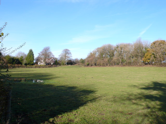
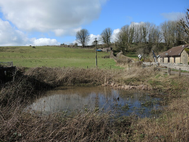
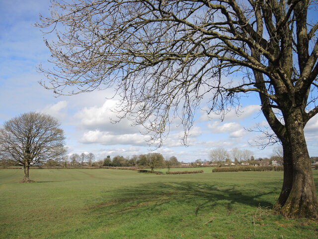
Binegar Bottom, located in Somerset, England, is a picturesque valley nestled within the Mendip Hills. This rural area is known for its natural beauty, with rolling green hills, meandering streams, and tranquil woodlands. The small hamlet of Binegar is situated at the heart of this valley, providing a peaceful and idyllic setting for residents and visitors alike.
Binegar Bottom is renowned for its rich history, dating back to the Domesday Book of 1086 when it was mentioned as "Beneghere." The area was predominantly agricultural, with farming playing a significant role in the local economy. Today, the valley still retains its rural charm, with several working farms dotting the landscape.
Nature lovers flock to Binegar Bottom to explore its diverse flora and fauna. The valley is home to a wide range of wildlife, including deer, badgers, foxes, and numerous bird species. Walking and hiking enthusiasts can enjoy the numerous trails that wind their way through the valley, offering breathtaking views of the surrounding countryside.
Despite its secluded location, Binegar Bottom is conveniently located near several amenities. The nearby town of Wells provides shopping facilities, restaurants, and cultural attractions, including the iconic Wells Cathedral. Additionally, the city of Bath is within easy reach, offering further entertainment and shopping options.
Binegar Bottom is a place where residents and visitors can escape the hustle and bustle of city life, immersing themselves in the tranquility of the Somerset countryside. With its natural beauty, rich history, and convenient location, it remains a hidden gem waiting to be discovered.
If you have any feedback on the listing, please let us know in the comments section below.
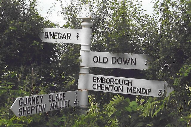
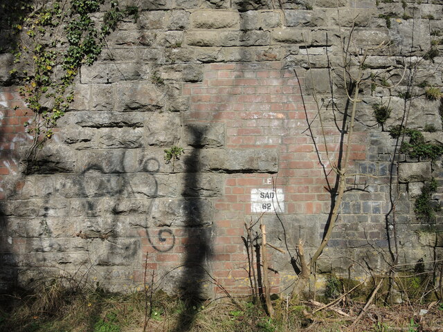
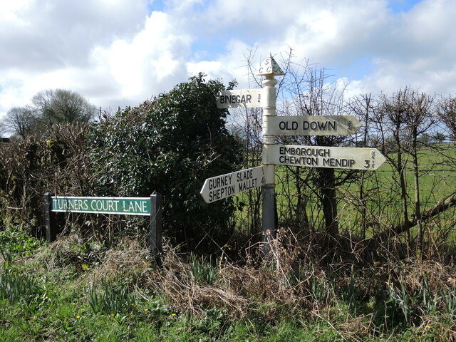
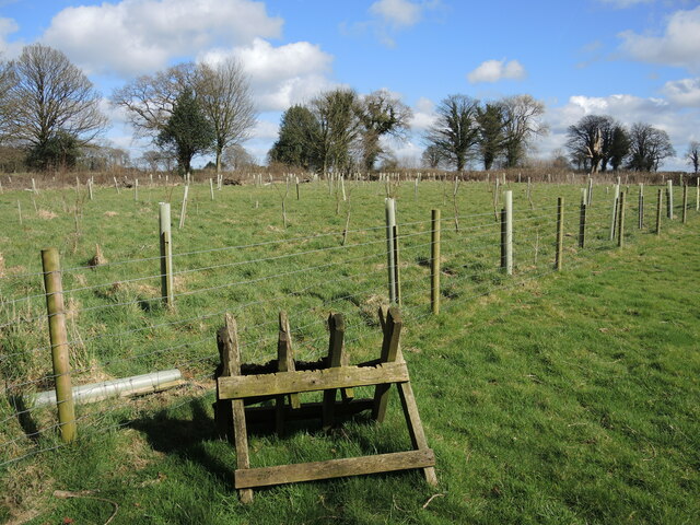
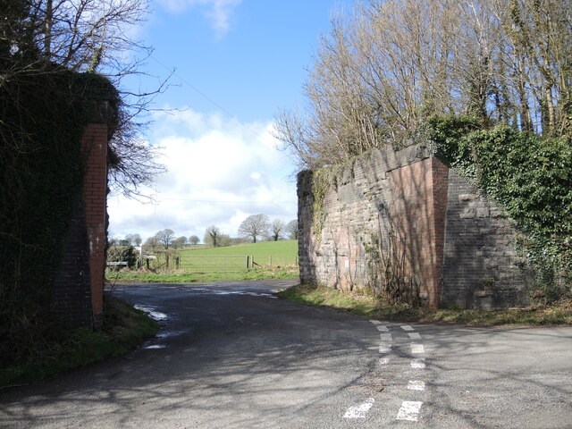
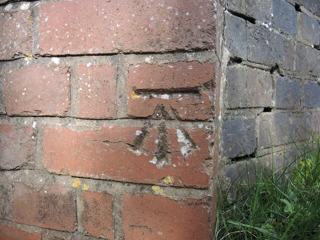
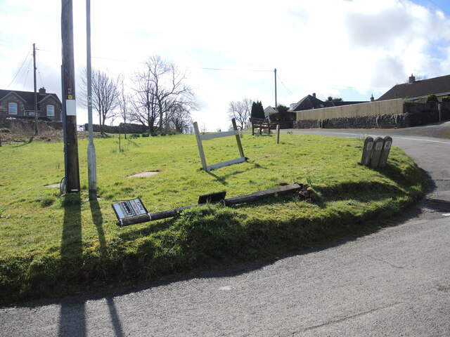
Binegar Bottom Images
Images are sourced within 2km of 51.236413/-2.5498955 or Grid Reference ST6148. Thanks to Geograph Open Source API. All images are credited.


Binegar Bottom is located at Grid Ref: ST6148 (Lat: 51.236413, Lng: -2.5498955)
Administrative County: Somerset
District: Mendip
Police Authority: Avon and Somerset
What 3 Words
///soup.stands.pedicure. Near Chilcompton, Somerset
Nearby Locations
Related Wikis

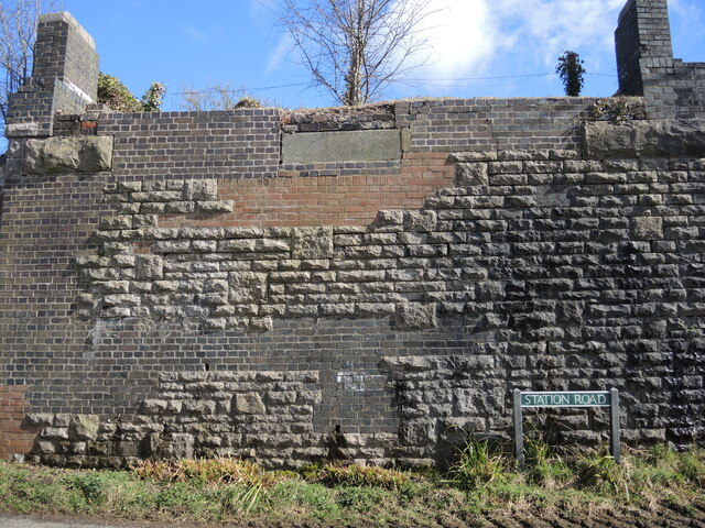
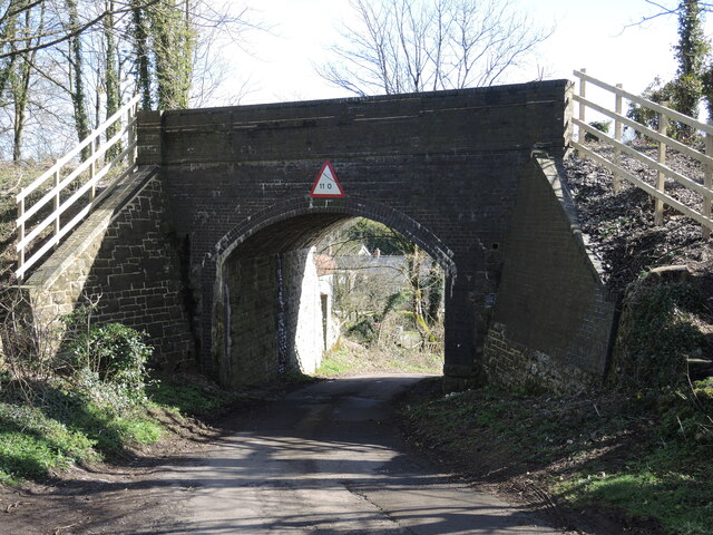
Binegar railway station
Binegar railway station was a station on the Somerset and Dorset Joint Railway in the county of Somerset in England. Opened on 20 July 1874, the station...
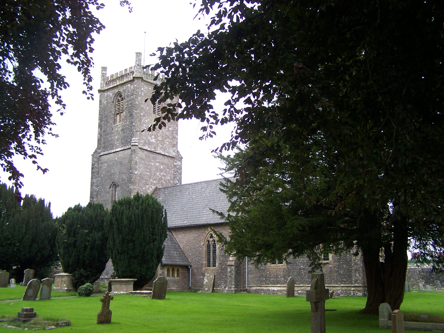
Church of the Holy Trinity, Binegar
The Anglican Church of the Holy Trinity, Binegar, Somerset, England is Norman but has been rebuilt and restored several times since. It is a Grade II*...

Binegar
Binegar is a small village and civil parish in Somerset, England. It is located on the A37, 4 miles (6.4 km) east of Wells, between Shepton Mallet and...

Gurney Slade quarry
Gurney Slade quarry, grid reference ST626497 is a limestone quarry near Gurney Slade between Binegar and Holcombe, on the Mendip Hills, Somerset, England...

Maesbury Railway Cutting
Maesbury Railway Cutting (grid reference ST606475) is a 2 hectare geological Site of Special Scientific Interest between East Horrington and Gurney Slade...

Maesbury Castle
Maesbury Castle is an Iron Age hill fort within the parish of Croscombe on the Mendip Hills, just north of Shepton Mallet, Somerset, England. It has been...
Emborough Quarries
Emborough Quarries (grid reference ST623505) is a 1 hectare (2.5 acre) geological Site of Special Scientific Interest at Emborough in the Mendip Hills...

Ashwick Court
Ashwick Court is Grade II listed house on Heckley Lane northwest of Ashwick, in Mendip district, eastern Somerset, England, adjacent to the Church of St...
Nearby Amenities
Located within 500m of 51.236413,-2.5498955Have you been to Binegar Bottom?
Leave your review of Binegar Bottom below (or comments, questions and feedback).