Swarnie Cleugh

Valley in East Lothian

Scotland

Swarnie Cleugh

Trees above Donolly The two trees above the Donolly Burn in very different conditions to those seen here. A January day with cold winds but no snow.
<a title="https://www.geograph.org.uk/photo/5702840" href="https://www.geograph.org.uk/photo/5702840">Link</a>
Trees above Donolly Credit: Adam Ward

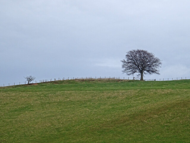
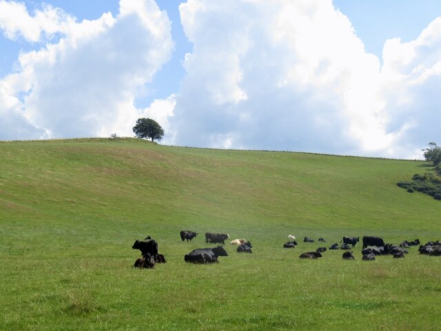
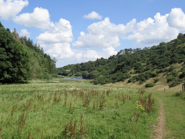
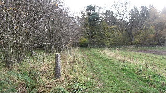
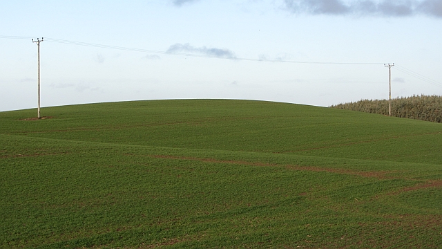
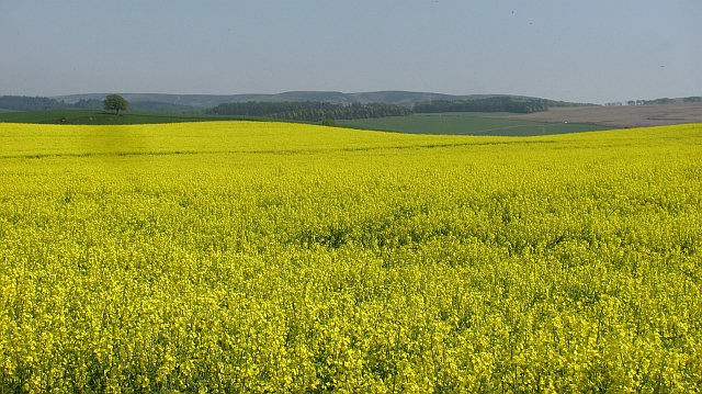
Swarnie Cleugh is a picturesque valley located in the East Lothian region of Scotland. Nestled amidst rolling hills and lush greenery, this tranquil area is a haven for nature lovers and outdoor enthusiasts.

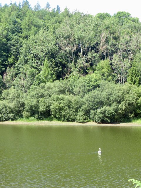
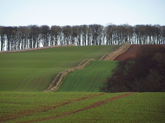
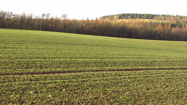
Surrounded by the Lammermuir Hills, Swarnie Cleugh offers breathtaking views of the surrounding countryside. The valley is home to a variety of wildlife, including deer, birds, and small mammals, making it a popular spot for birdwatching and nature photography.

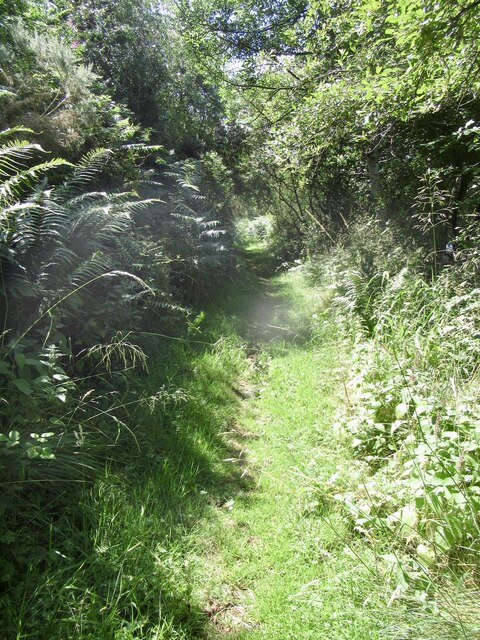
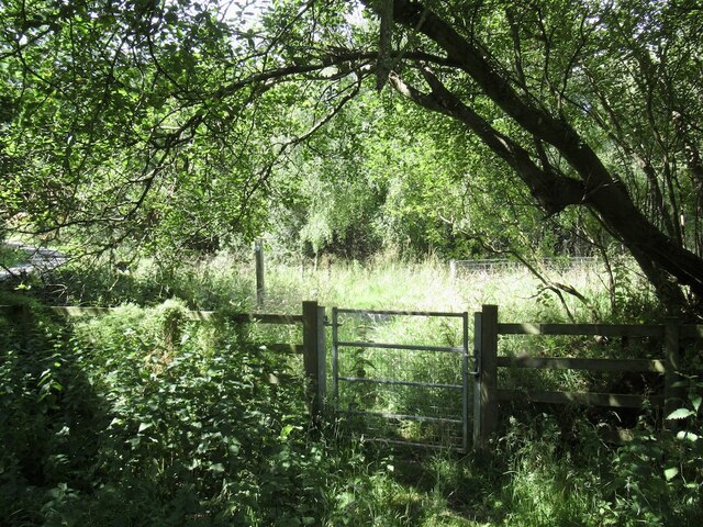
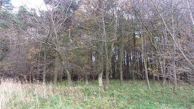
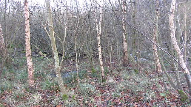
The valley is known for its diverse range of plant species, with wildflowers and heather covering the hillsides during the summer months. Walking trails crisscross the area, allowing visitors to explore the valley at their own pace. The trails lead to hidden waterfalls and peaceful streams, adding to the valley's charm.

In addition to its natural beauty, Swarnie Cleugh also boasts a rich history. The remains of ancient settlements and stone circles can be found within the valley, providing a glimpse into the area's past. Archaeological excavations have uncovered artifacts and tools from the Neolithic and Bronze Age periods, further enhancing the valley's historical significance.

Swarnie Cleugh is a popular destination for outdoor activities such as hiking, cycling, and picnicking. The peaceful atmosphere and stunning scenery make it an ideal escape from the hustle and bustle of everyday life. Whether exploring the trails or simply taking in the beauty of the valley, visitors to Swarnie Cleugh are sure to be captivated by its natural charm.

If you have any feedback on the listing, please let us know in the comments section below.

Swarnie Cleugh Images

Images are sourced within 2km of 55.91686/-2.6838469 or Grid Reference NT5769. Thanks to Geograph Open Source API. All images are credited.

Trees above Donolly The two trees above the Donolly Burn in very different conditions to those seen here. A January day with cold winds but no snow.
<a title="https://www.geograph.org.uk/photo/5702840" href="https://www.geograph.org.uk/photo/5702840">Link</a>
Trees above Donolly
The two trees above the Donolly Burn in very different conditions to those seen here. A January day with cold winds but no snow. Link
Cattle, Garvald Mains
Road to Donolly Reservoir
Path, Donolly Reservoir A little overgrown in places and I came home with some alarming looking dermatitis on one leg, so there may be some hogweed of some description lurking here or alongside the Danskine Loch.
Path, Donolly Reservoir
A little overgrown in places and I came home with some alarming looking dermatitis on one leg, so there may be some hogweed of some description lurking here or alongside the Danskine Loch.
Donolly Reservoir As usual in Summer, rather green looking.
Donolly Reservoir
As usual in Summer, rather green looking.
Donolly Reservoir and Snawdon Howe
Gate, Gifford to Garvald path One of a pair.
Gate, Gifford to Garvald path
One of a pair.
Winter crops, Baro There is low cloud on the Lammermuir Hills. Winter cereals are popular here.
Winter crops, Baro
There is low cloud on the Lammermuir Hills. Winter cereals are popular here.
Baro Wood Mixed woodland at Baro.
Baro Wood
Mixed woodland at Baro.
Track into Baro Wood A field edge track heads into Baro Wood.
Track into Baro Wood
A field edge track heads into Baro Wood.
Arable land, Snawdon Planting winter cereals is now an established practice here. The days of a Winter's worth of stubble are coming to an end.
Arable land, Snawdon
Planting winter cereals is now an established practice here. The days of a Winter's worth of stubble are coming to an end.
Winter cereals, Danskine A germinating crop on the edge of the Lammermuir Hills.
Winter cereals, Danskine
A germinating crop on the edge of the Lammermuir Hills.
Marshy woodland, Danskine Wet woodland downstream of the loch at Danskine.
Marshy woodland, Danskine
Wet woodland downstream of the loch at Danskine.
Stubble, Carfrae A vast amalgamated field which has yet to be ploughed and was rich in birdlife.
Stubble, Carfrae
A vast amalgamated field which has yet to be ploughed and was rich in birdlife.
Winter cereals, Carfrae
Minor road, Danskine The road is crossing a misfit valley with steep sides and a flat marshy bottom. This is probably a meltwater channel from glacial times.
Minor road, Danskine
The road is crossing a misfit valley with steep sides and a flat marshy bottom. This is probably a meltwater channel from glacial times.
Oil seed rape, Carfrae Yellow peril in May.
Oil seed rape, Carfrae
Yellow peril in May.
Road leading to Carfrae Farm in East Lothian Running along the foothills of the Lammermuirs.
Road leading to Carfrae Farm in East Lothian
Running along the foothills of the Lammermuirs.
Show me another place!

Swarnie Cleugh is located at Grid Ref: NT5769 (Lat: 55.91686, Lng: -2.6838469)

Unitary Authority: East Lothian

Police Authority: The Lothians and Scottish Borders

What 3 Words

///guarded.starlight.apprehend. Near Haddington, East Lothian

Nearby Locations

Carfrae Swarnie Cleugh

Related Wikis

Bara, East Lothian

Bara, anciently spelt Baro, is an agricultural parish in East Lothian, Scotland, which adjoins the parish of Garvald to the east, and Lauder across the...

Sancta Maria Abbey, Nunraw

Nunraw Abbey or Sancta Maria Abbey, Nunraw is a working Trappist (Ordo Cisterciensis Strictioris Observantiae) monastery. It was the first Cistercian house...

Garvald, East Lothian

Garvald is a village south-east of Haddington in East Lothian, Scotland. It lies on the Papana Water south of the B6370, east of Gifford. The combined...

Stoneypath Tower

Stoneypath Tower, is an L-plan tower house dating from the late sixteenth century, about 3.5 miles (5.6 km) south of East Linton, and east of the Whittinghame...

Nearby Amenities

Located within 500m of 55.91686,-2.6838469
Generator Source: wind
Power: generator
Lat/Long: 55.9144854/-2.6848687
Power: pole
Lat/Long: 55.9128811/-2.6854372
Power: pole
Lat/Long: 55.9135129/-2.6845516
Power: pole
Lat/Long: 55.9141131/-2.6837119
Power: pole
Lat/Long: 55.9147297/-2.6830555
Power: pole
Lat/Long: 55.9149749/-2.6827805
Power: pole
Lat/Long: 55.9178521/-2.6765273
Power: pole
Lat/Long: 55.9174341/-2.6772045
Power: pole
Lat/Long: 55.9169367/-2.6780276
Power: pole
Lat/Long: 55.9164556/-2.6788027
Power: pole
Lat/Long: 55.9159103/-2.6796987
Power: pole
Lat/Long: 55.9153603/-2.6806134
Power: pole
Lat/Long: 55.9148021/-2.6815219
Power: pole
Lat/Long: 55.9144903/-2.6820324
Power: pole
Lat/Long: 55.9154432/-2.6835827
Power: pole
Lat/Long: 55.91595/-2.6844037
Power: pole
Lat/Long: 55.9163657/-2.6850725
Power: pole
Lat/Long: 55.9168118/-2.6858039
Power: pole
Lat/Long: 55.9172169/-2.6864832
Power: pole
Lat/Long: 55.9176712/-2.6872
Power: pole
Lat/Long: 55.9181429/-2.6879876
Power: pole
Lat/Long: 55.9186076/-2.6887523
Power: pole
Lat/Long: 55.9190817/-2.6895233
The data included in this document is from www.openstreetmap.org. The data is made available under ODbL.

Have you been to Swarnie Cleugh?

Leave your review of Swarnie Cleugh below (or comments, questions and feedback).