Black Cleugh
Valley in Cumberland Carlisle
England
Black Cleugh

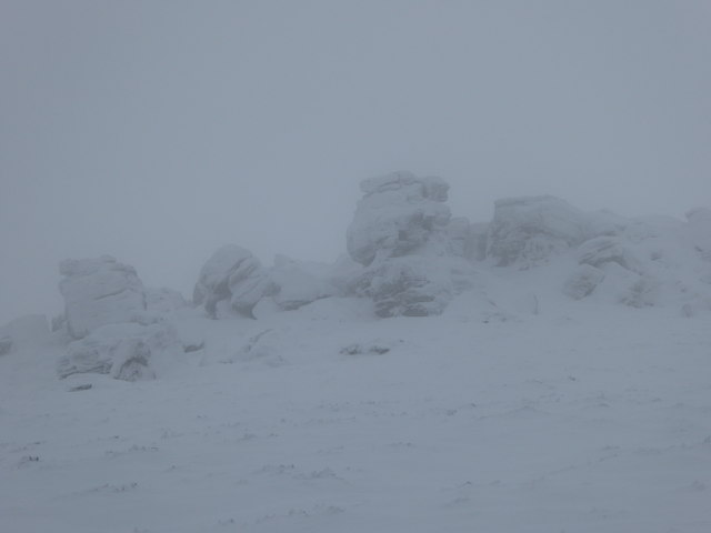
Black Cleugh is a small valley located in the county of Cumberland, in the northwest of England. Situated within the North Pennines Area of Outstanding Natural Beauty, it is known for its stunning natural scenery and picturesque landscapes. The valley is nestled between rolling hills and is surrounded by lush green meadows and dense forests, creating a serene and tranquil atmosphere.
The name "Black Cleugh" is derived from the Old English word "cleugh," meaning a narrow valley or ravine, and refers to the shape and topography of the area. The valley is characterized by a meandering stream that runs through it, adding to its natural charm.
The valley is a popular destination for outdoor enthusiasts and nature lovers, offering a range of activities such as hiking, walking, and birdwatching. There are several well-marked trails and footpaths that allow visitors to explore the area and admire its natural beauty up close. The surrounding hills provide breathtaking panoramic views of the valley and the distant Cumberland countryside.
Black Cleugh is also home to a variety of wildlife, including deer, rabbits, and a rich bird population. The peaceful environment and abundant flora make it an ideal habitat for many species.
In summary, Black Cleugh is a picturesque valley in Cumberland, England, renowned for its natural beauty and tranquil surroundings. With its scenic landscapes, diverse wildlife, and numerous outdoor activities, it is a haven for nature enthusiasts and a must-visit destination for those seeking a peaceful retreat in the heart of the North Pennines.
If you have any feedback on the listing, please let us know in the comments section below.
Black Cleugh Images
Images are sourced within 2km of 55.132375/-2.6911344 or Grid Reference NY5682. Thanks to Geograph Open Source API. All images are credited.


Black Cleugh is located at Grid Ref: NY5682 (Lat: 55.132375, Lng: -2.6911344)
Administrative County: Cumbria
District: Carlisle
Police Authority: Cumbria
What 3 Words
///enough.assist.draw. Near Langholm, Dumfries & Galloway
Nearby Locations
Related Wikis

Sighty Crag
Sighty Crag is a hill in the southern part of the Kielder Forest region in northern England, a region which also includes its fellow Marilyns of Peel Fell...

Blackpool Gate
Blackpool Gate is a settlement in the civil parish of Bewcastle, which is in the district of the City of Carlisle in the county of Cumbria, England. It...

Scottish Marches
Scottish Marches was the term used for the Anglo-Scottish border during the late medieval and early modern eras, characterised by violence and cross-border...

Bewcastle Castle
Bewcastle Castle is a ruined castle in the parish of Bewcastle in the English county of Cumbria, a few miles from the Scottish border. == History == The...
Have you been to Black Cleugh?
Leave your review of Black Cleugh below (or comments, questions and feedback).