Avon Gorge
Valley in Somerset
England
Avon Gorge

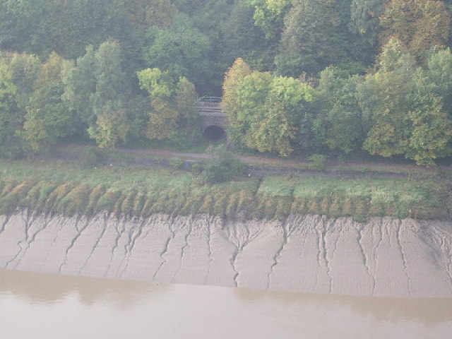
Avon Gorge, located in Somerset, England, is a picturesque valley carved by the River Avon over millions of years. Stretching for approximately 3 miles, this natural wonder is renowned for its stunning limestone cliffs, diverse wildlife, and rich historical and geological significance.
The gorge boasts towering cliffs that reach up to 300 feet in height, providing a dramatic backdrop to the flowing river below. These limestone cliffs are a haven for rock climbers and offer breathtaking views of the surrounding countryside. The Avon Gorge is also home to an array of rare plant species, including the Bristol whitebeam, which can only be found in this region.
Steeped in history, Avon Gorge has been inhabited for thousands of years. The nearby Clifton Suspension Bridge, designed by Isambard Kingdom Brunel and completed in 1864, spans the gorge and is an iconic symbol of Bristol. The area also contains several ancient sites, such as the Iron Age hill fort at Clifton Down and the Roman settlement at Sea Mills.
Geologically, the gorge is a treasure trove of fossils, showcasing evidence of prehistoric sea creatures that lived in the area millions of years ago. These fossils provide valuable insights into the region's past and contribute to ongoing scientific research.
Avon Gorge is a popular destination for hikers, nature enthusiasts, and history buffs alike. Its unique combination of natural beauty, historical significance, and geological wonders make it a must-visit location in Somerset.
If you have any feedback on the listing, please let us know in the comments section below.
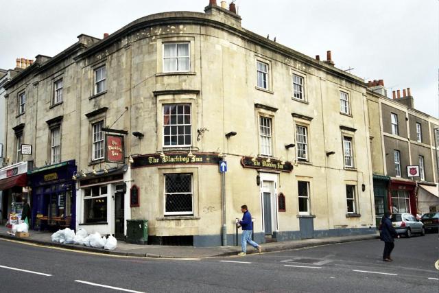
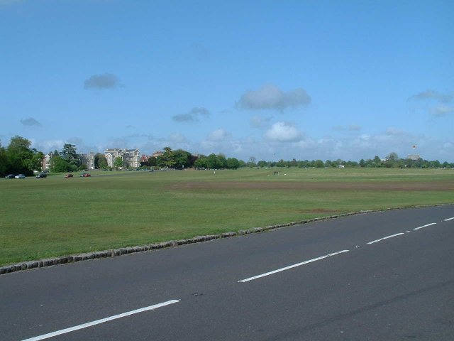
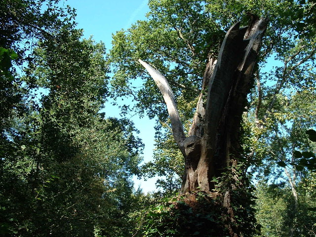
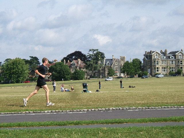
Avon Gorge Images
Images are sourced within 2km of 51.467679/-2.63581 or Grid Reference ST5574. Thanks to Geograph Open Source API. All images are credited.


Avon Gorge is located at Grid Ref: ST5574 (Lat: 51.467679, Lng: -2.63581)
Unitary Authority: North Somerset
Police Authority: Avon and Somerset
What 3 Words
///allow.thus.region. Near Bristol
Nearby Locations
Related Wikis
The Downs, Bristol
The Downs are an area of public open limestone downland in Bristol, England. They consist of Durdham Down to the north and east and Clifton Down to the...

Leigh Woods National Nature Reserve
Leigh Woods is a 2-square-kilometre (0.77 sq mi) area of woodland on the south-west side of the Avon Gorge, close to the Clifton Suspension Bridge, within...

Alderman Proctor's Drinking Fountain
The Alderman Proctor's Drinking Fountain (grid reference ST566738) is a historic building on Clifton Down, Bristol, England. The city of Bristol began...
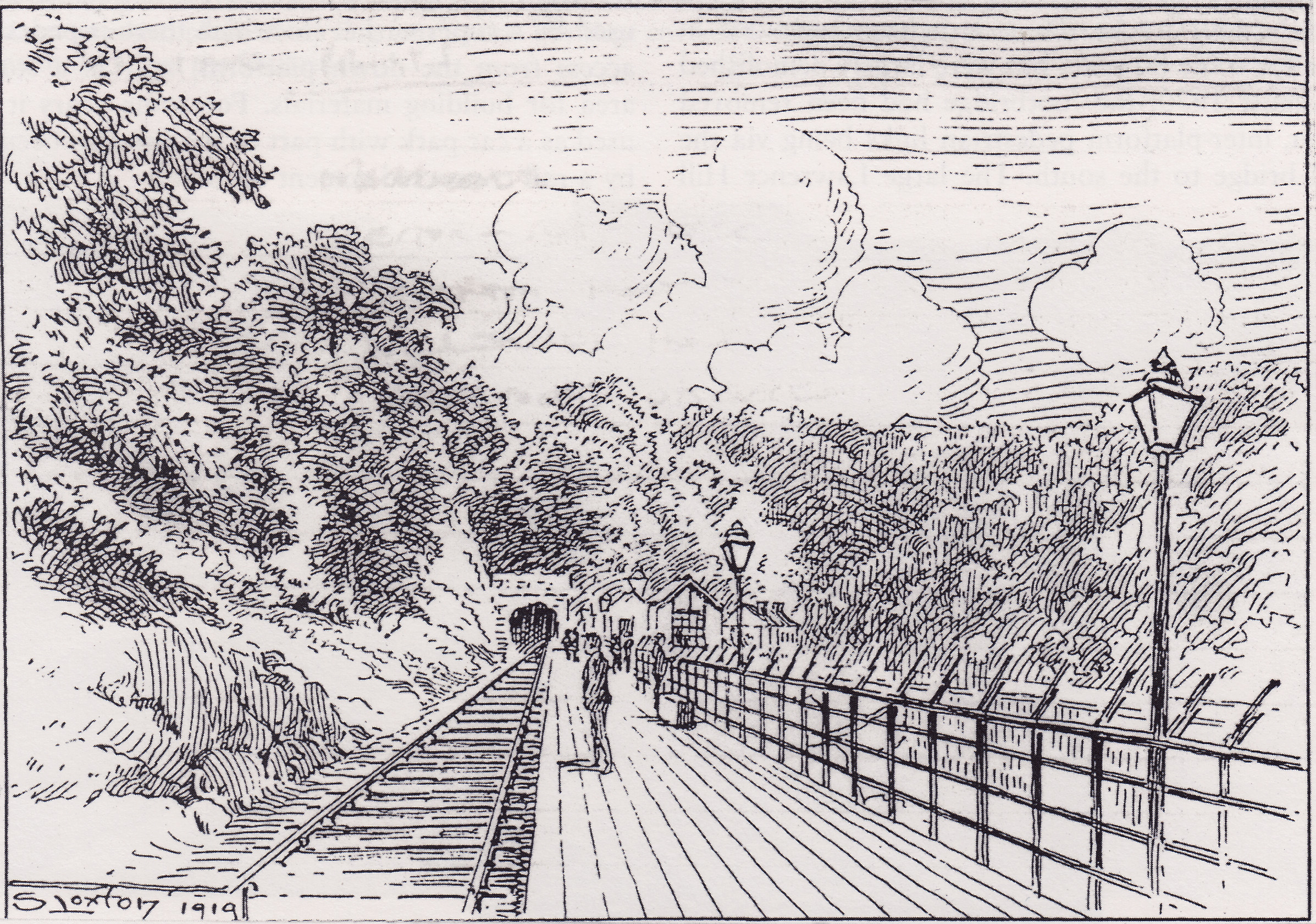
Hotwells Halt railway station
Hotwells Halt railway station, also known as the Hotwells Extension Platform, was a railway station situated in the suburb of Hotwells in Bristol, England...

Bristol Zoo
Bristol Zoo was a zoo in the city of Bristol in South West England. The zoo's stated mission was to "maintain and defend" biodiversity through breeding...
Sneyd Park
Sneyd Park is a suburb of Bristol, England, lying on the western fringe of Clifton Down, adjacent to the Avon Gorge and the Sea Walls observation point...

Bristol Old Vic Theatre School
The Bristol Old Vic Theatre School (BOVTS) is a drama school in Bristol, England. The institution provides training in acting and production for careers...

Merchant Hall
The Merchant Hall (grid reference ST565735) is a historic building on The Promenade, Clifton Down, Bristol, England. It was built in 1868 by Richard Shackleton...
Nearby Amenities
Located within 500m of 51.467679,-2.63581Have you been to Avon Gorge?
Leave your review of Avon Gorge below (or comments, questions and feedback).