Acaster Malbis

Settlement in Yorkshire

England

Acaster Malbis

York to Selby railway path
York to Selby railway path Credit: Iain Macaulay

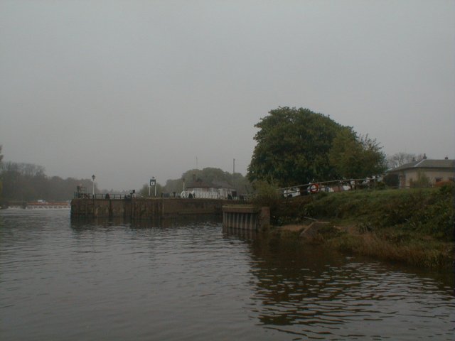
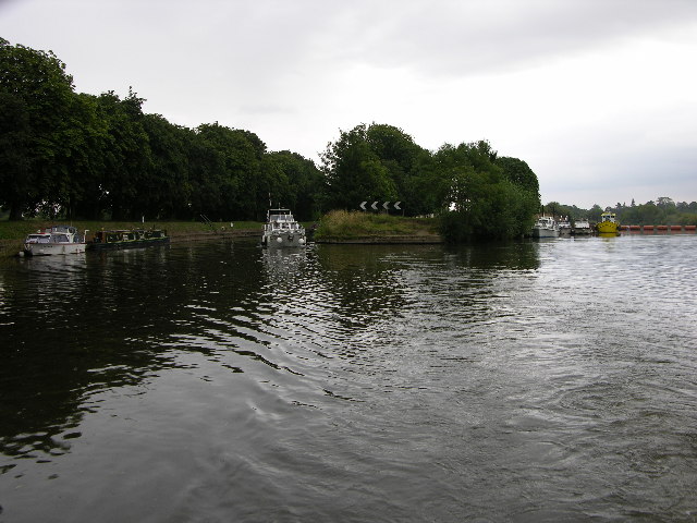
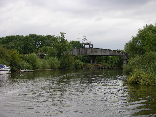
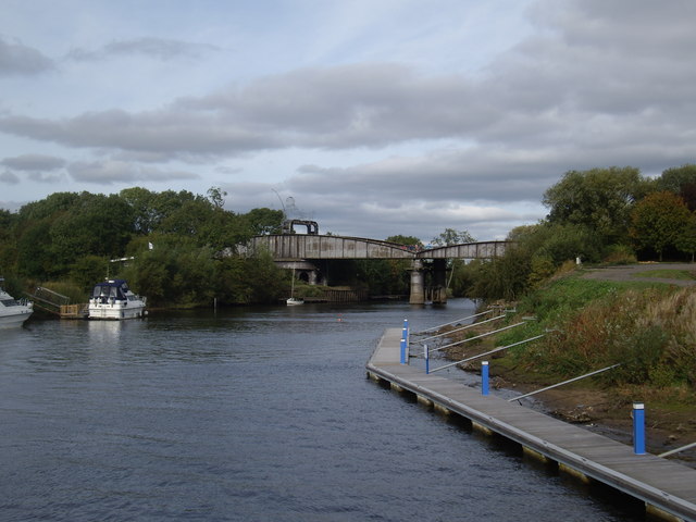
Acaster Malbis is a small village located in the county of North Yorkshire, England. Situated approximately six miles south-west of the city of York, it lies on the eastern bank of the River Ouse. The village is part of the wider civil parish of Acaster Selby.

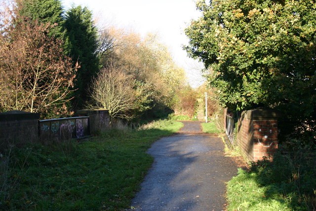
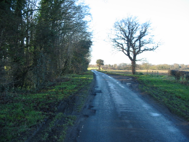
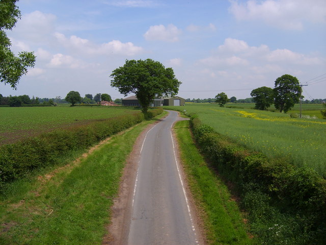
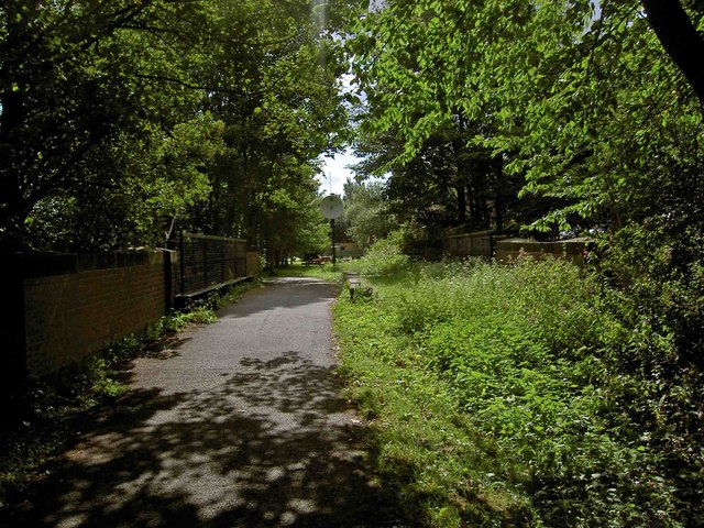
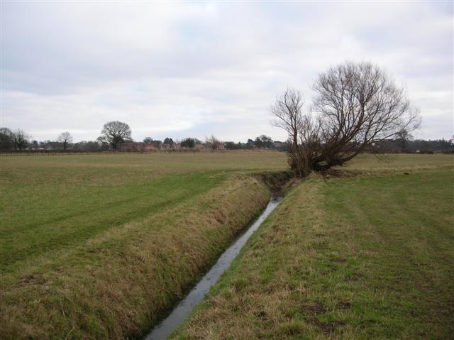
With a population of around 500 residents, Acaster Malbis is characterized by its picturesque rural setting and charming atmosphere. The village is surrounded by open countryside, offering breathtaking views and ample opportunities for outdoor activities such as walking, cycling, and fishing along the river.

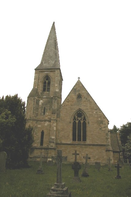
Historically, Acaster Malbis was mentioned in the Domesday Book of 1086, and evidence of its long-standing heritage can be observed through the presence of several historic buildings. One notable landmark is the All Saints Church, a Grade I listed building dating back to the 12th century, which showcases stunning architecture and attracts visitors interested in its historical significance.

Facilities in Acaster Malbis include a village hall, a primary school, and a pub, providing essential amenities for the local community. The village enjoys a close-knit community spirit, with various events and activities organized throughout the year, fostering a strong sense of belonging among residents.

Although primarily a residential area, Acaster Malbis benefits from its proximity to the city of York, which offers a wider range of amenities, including shops, restaurants, and cultural attractions. The village provides a peaceful and idyllic retreat from urban life, while still offering easy access to the nearby city for those seeking additional services and entertainment options.

If you have any feedback on the listing, please let us know in the comments section below.

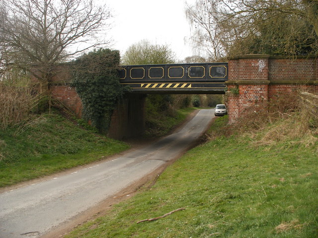
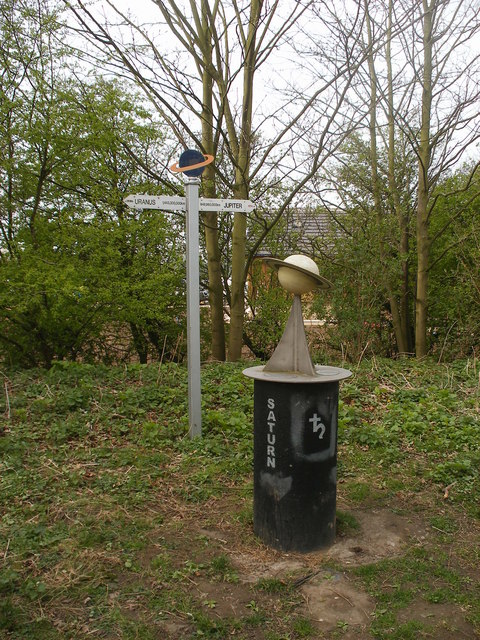
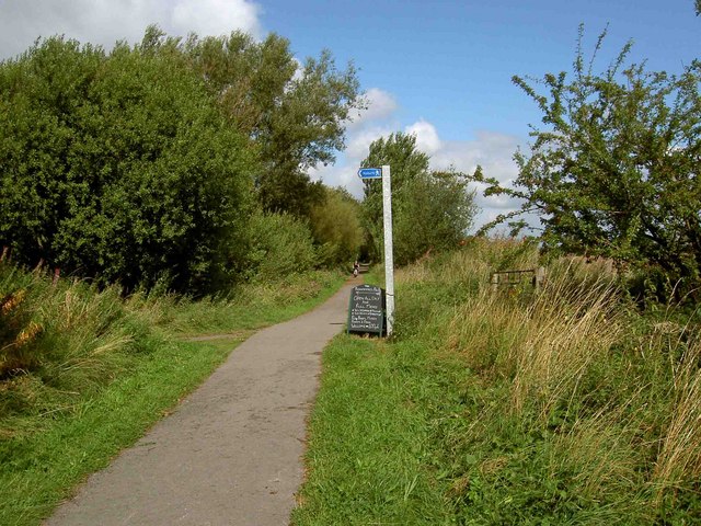
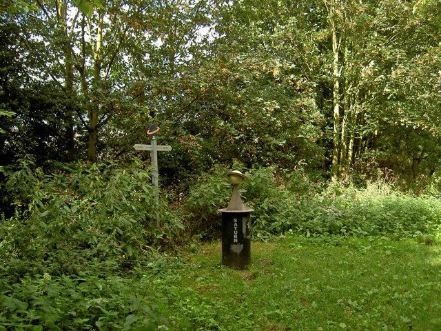
Acaster Malbis Images

Images are sourced within 2km of 53.901863/-1.106892 or Grid Reference SE5845. Thanks to Geograph Open Source API. All images are credited.

York to Selby railway path
Moor Lane running alongside Sandhole Plantation
Naburn Lane
Naburn Lane
Howden Lane Taken from the Howden Lane bridge.
Howden Lane
Taken from the Howden Lane bridge.
Cassini flying past Saturn This model of the Cassini-Huygens probe has been installed a short distance from Saturn along the York to Selby cycle route (Sustrans 65).
Cassini flying past Saturn
This model of the Cassini-Huygens probe has been installed a short distance from Saturn along the York to Selby cycle route (Sustrans 65).
Howden Lane Bridge Howden Lane Bridge where there is access to the 15 mile long Selby & York Railway Path.
Howden Lane Bridge
Howden Lane Bridge where there is access to the 15 mile long Selby & York Railway Path.
Saturn on the Selby & York Railway Path
Left turn to the Blacksmiths Arms PH at Naburn The Trans Pennine Trail heading towards York.
Left turn to the Blacksmiths Arms PH at Naburn
The Trans Pennine Trail heading towards York.
Saturn (via York and Selby cycleway) The Trans Pennine Trail along this section also includes a model of the Solar System along the York - Selby cycle track.  The Sun is a huge 2.4m (about 8 feet) in diameter and Pluto is a tiny 5.9mm sphere, over 10 Km - that's more than 6 miles - away.
Saturn (via York and Selby cycleway)
The Trans Pennine Trail along this section also includes a model of the Solar System along the York - Selby cycle track. The Sun is a huge 2.4m (about 8 feet) in diameter and Pluto is a tiny 5.9mm sphere, over 10 Km - that's more than 6 miles - away.
The Trans Pennine Trail Selby to York cycleway crossing Naburn Lane The now disused Naburn Station is just ahead.
The Trans Pennine Trail Selby to York cycleway crossing Naburn Lane
The now disused Naburn Station is just ahead.
Early morning at Naburn This is the limit of the tidal River Ouse.  Above the locks and weir the river is non-tidal and times of passage are less dependent upon the cycle of nature!
Early morning at Naburn
This is the limit of the tidal River Ouse. Above the locks and weir the river is non-tidal and times of passage are less dependent upon the cycle of nature!
Naburn Church
Naburn Church
Naburn Marina Too many nice boats!!!!!
Naburn Marina
Too many nice boats!!!!!
River Ouse at Naburn Lock The lock is on the left of the photo and the weir top on the right. This view looks south and the river is tidal beyond this point.
River Ouse at Naburn Lock
The lock is on the left of the photo and the weir top on the right. This view looks south and the river is tidal beyond this point.
Naburn Bridge The bridge is a disused railway bridge on the old York to Selby line which is now a popular cycle route. The wire sculpture is called the Fisher of Dreams, complete with fisherman, dog and bicycle.
Naburn Bridge
The bridge is a disused railway bridge on the old York to Selby line which is now a popular cycle route. The wire sculpture is called the Fisher of Dreams, complete with fisherman, dog and bicycle.
The Fisher of Dreams A closer view of the wire sculpture on Naburn Bridge. Not clear from this angle but the dog is comically lifting its leg on the poor fishermans bike! Installed in Aug 1991 - artist is Pete Rodgers.
The Fisher of Dreams
A closer view of the wire sculpture on Naburn Bridge. Not clear from this angle but the dog is comically lifting its leg on the poor fishermans bike! Installed in Aug 1991 - artist is Pete Rodgers.
Beechlands Farm In Acaster Malbis.
Beechlands Farm
In Acaster Malbis.
Towards Acaster Malbis Stood with back to Foss Field Lane.
Towards Acaster Malbis
Stood with back to Foss Field Lane.
Show me another place!

Acaster Malbis is located at Grid Ref: SE5845 (Lat: 53.901863, Lng: -1.106892)

Division: West Riding

Unitary Authority: York

Police Authority: North Yorkshire

What 3 Words

///event.town.hindered. Near Bishopthorpe, North Yorkshire

Related Wikis

Acaster Malbis

Acaster Malbis () is a village and civil parish in the unitary authority of the City of York, England. It is located on the River Ouse, almost 5 miles...

Holy Trinity Church, Acaster Malbis

Holy Trinity Church is an active Anglican church in Acaster Malbis, a village in the City of York, in England. It is a grade I listed building. A church...

Copmanthorpe Preceptory

Copmanthorpe Preceptory was a medieval monastic house in North Yorkshire, England. The manor of Copmanthorpe was given to the Knights Templar by William...

Naburn

Naburn is a small village and civil parish in the unitary authority of the City of York in the ceremonial county of North Yorkshire, England. It lies on...

Naburn railway station

Naburn railway station was a railway station which served the village of Naburn, south of York, on the East Coast Main Line. It closed to passengers in...

Acaster South Ings

Acaster South Ings is a Site of Special Scientific Interest, or SSSI, near York, England. It consists of two alluvial flood-meadows, and was designated...

Bishopthorpe

Bishopthorpe is a village and civil parish three miles south of York in the City of York unitary authority area and ceremonial county of North Yorkshire...

Bell Hall

Bell Hall is a grade I listed building, in Naburn, in the rural southern part of the city of York, in England. The house was built in 1680 for John Hewley...

Nearby Amenities

Located within 500m of 53.901863,-1.106892
Acaster Malbis
Note Population: 2001 census
Place: village
Population: 578
Wikidata: Q2418275
Wikipedia: en:Acaster Malbis
Lat/Long: 53.8999385/-1.1052178
Post Box
Post Box Type: lamp
Ref: YO23 602
Royal Cypher: EIIR
Royal Cypher Wikidata: Q33102113
Lat/Long: 53.9015492/-1.106736
Bench
Lat/Long: 53.9016693/-1.1069371
Pub
The Ship Inn
Addr City: York
Addr Postcode: YO23 2UH
Beer Garden: yes
Fhrs Id: 245926
Floor Material: stone
Food: yes
Parking: yes
Real Ale: 2 from Timothy Taylor, 2 others
Source Addr: FHRS Open Data
Wheelchair: limited
Wheelchair Description: Step free access to part of bar across grass through beer garden. Lots of steps between drinking areas
Lat/Long: 53.9019429/-1.1038178
Information: guidepost
Tourism: information
Lat/Long: 53.8990032/-1.1051828
Barrier: kissing_gate
Lat/Long: 53.9002906/-1.1042854
Barrier: kissing_gate
Foot: designated
Lat/Long: 53.9034801/-1.1051874
Guidepost Type: route_marker;PROW
Information: guidepost
Tourism: information
Lat/Long: 53.9026909/-1.101724
Barrier: kissing_gate
Lat/Long: 53.9054393/-1.1047399
Barrier: kissing_gate
Lat/Long: 53.9055122/-1.1042901
Direction North: Moor End 0.25
Guide Type: destination
Guidepost Type: PROW
Information: guidepost
Tourism: information
Lat/Long: 53.9027389/-1.1019168
The data included in this document is from www.openstreetmap.org. The data is made available under ODbL.

Have you been to Acaster Malbis?

Leave your review of Acaster Malbis below (or comments, questions and feedback).