Chester Cleuch

Valley in Roxburghshire

Scotland

Chester Cleuch

A fingerpost near Taylor's Cleuch This track affords access to the trackbed of the former Waverley Route near Steele Road.

This photograph was taken during the Coronavirus (COVID-19) pandemic of 2020/21/22.
A fingerpost near Taylor's Cleuch Credit: James T M Towill

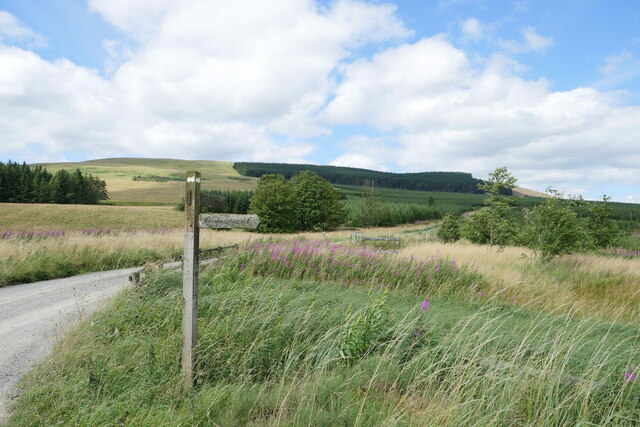
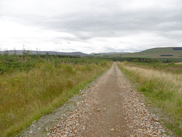
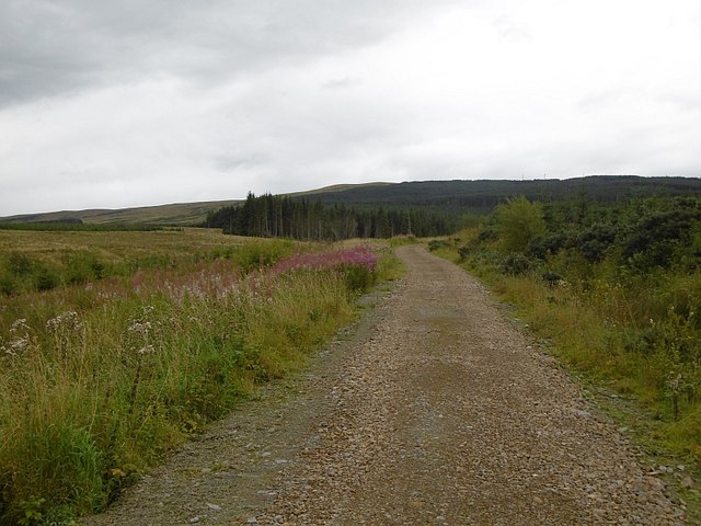
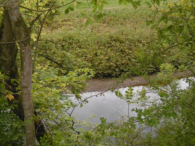
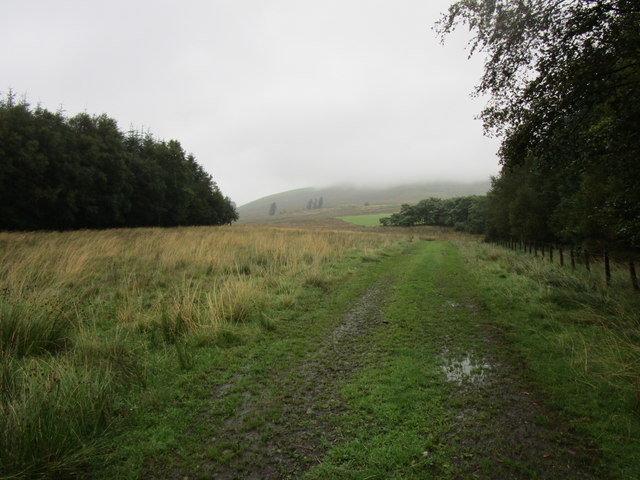
Chester Cleuch is a picturesque valley located in Roxburghshire, Scotland. Situated in the southern part of the country, it is nestled amidst the rolling hills and stunning landscapes of the Scottish Borders region. The valley is renowned for its natural beauty, offering visitors a charming and tranquil escape from the bustling cities.

The name "Chester Cleuch" is derived from the Old English term "ceaster," meaning a fortified settlement, and "cleuch," which refers to a narrow valley or ravine. This hints at the rich historical significance of the area, as it was once home to a fortified settlement dating back to medieval times.

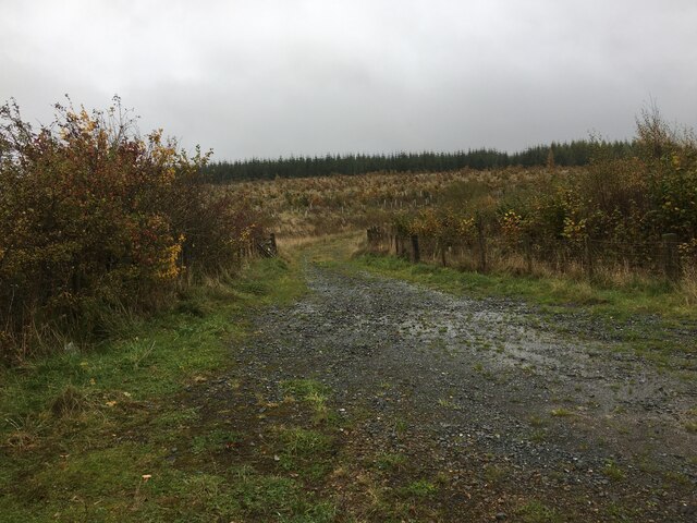
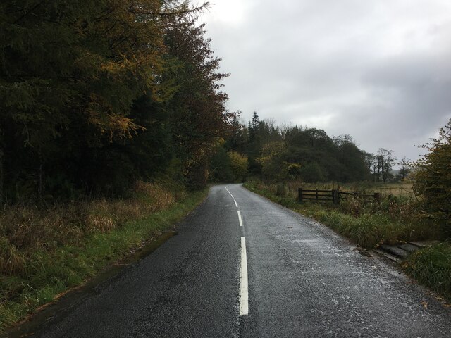
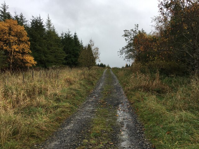
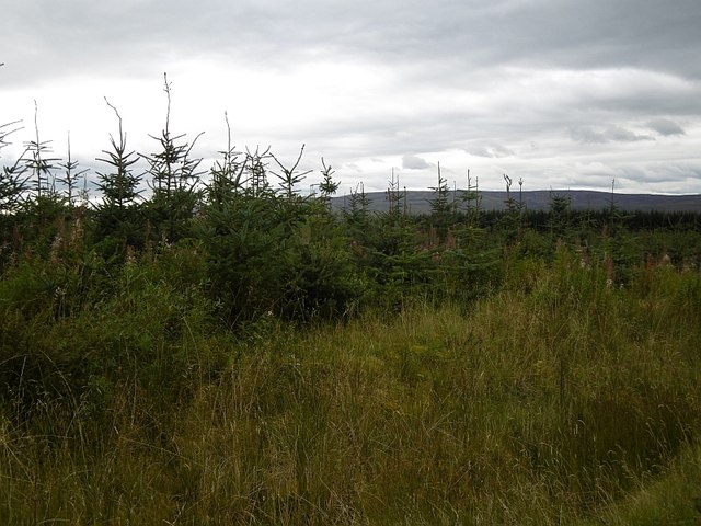
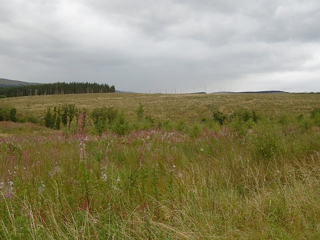
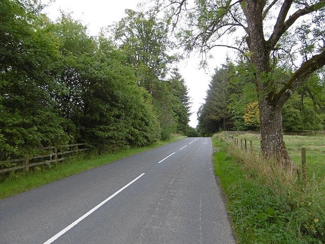
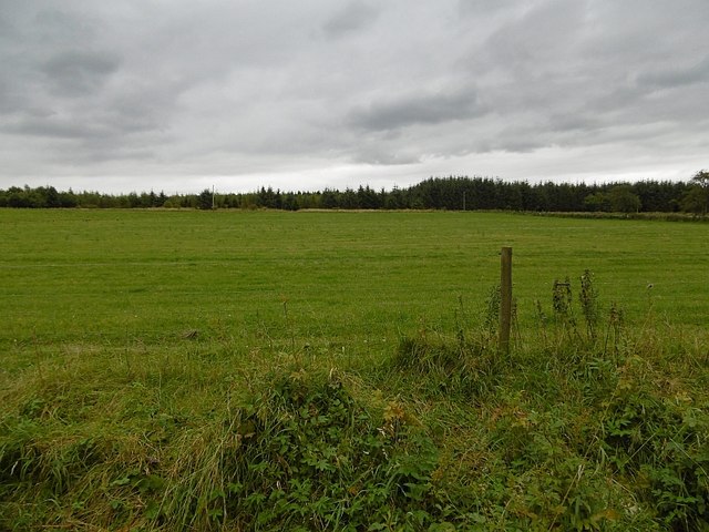
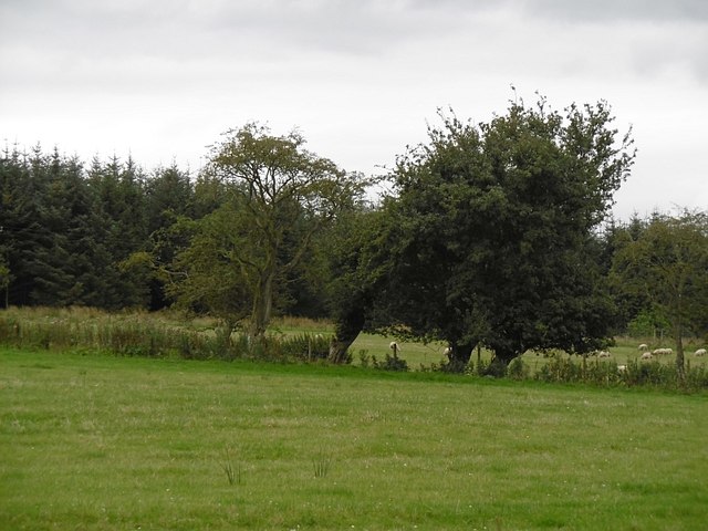
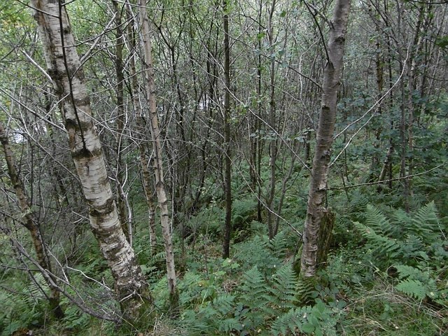
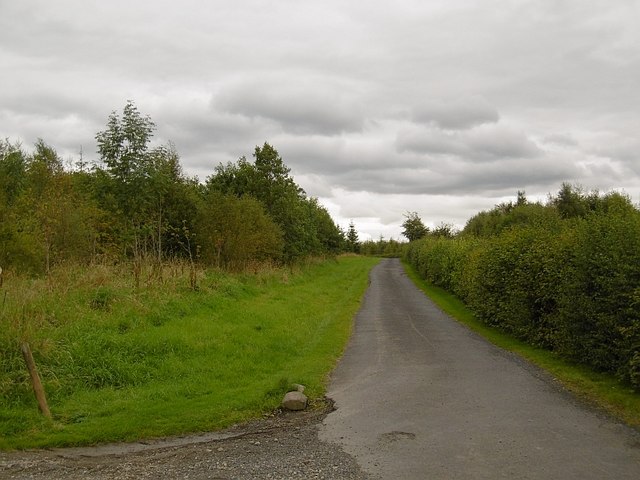
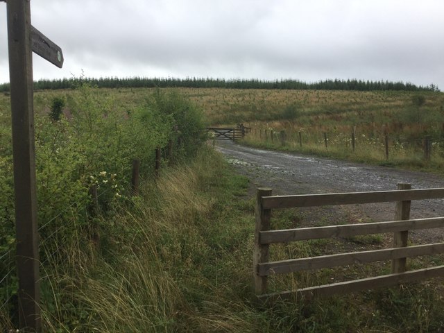
Today, Chester Cleuch is primarily known for its breathtaking scenery and outdoor recreational opportunities. The valley is adorned with lush greenery, meandering streams, and patches of ancient woodland. It is a haven for hikers, nature enthusiasts, and photographers, who can explore the numerous walking trails that wind through the valley, offering stunning vistas at every turn.

The valley is also home to a diverse array of wildlife, including red deer, otters, and a variety of bird species. Birdwatchers will particularly appreciate the opportunity to spot rare and migratory birds in the area.

Visitors to Chester Cleuch can also immerse themselves in the local culture and history by visiting the nearby historic sites and attractions. The valley is surrounded by charming villages, each offering their own unique character and traditional Scottish charm.

Overall, Chester Cleuch is a hidden gem in the Scottish Borders, offering a perfect blend of natural beauty, outdoor activities, and historical intrigue.

If you have any feedback on the listing, please let us know in the comments section below.

Chester Cleuch Images

Images are sourced within 2km of 55.222689/-2.7485207 or Grid Reference NY5292. Thanks to Geograph Open Source API. All images are credited.

A fingerpost near Taylor's Cleuch This track affords access to the trackbed of the former Waverley Route near Steele Road.

This photograph was taken during the Coronavirus (COVID-19) pandemic of 2020/21/22.
A fingerpost near Taylor's Cleuch
This track affords access to the trackbed of the former Waverley Route near Steele Road. This photograph was taken during the Coronavirus (COVID-19) pandemic of 2020/21/22.
Forestry road near Newcastleton Forest
B6357 towards Newcastleton
Forestry road near Kirndean
Larriston Fells road A recently resurfaced road serves a privately managed part of Newcastleton Forest and the police mast on Larriston Fells.
Larriston Fells road
A recently resurfaced road serves a privately managed part of Newcastleton Forest and the police mast on Larriston Fells.
Young trees, Newcastleton Forest This <a href="https://www.geograph.org.uk/photo/453172">NY5391 : Forest Road</a> block a few years on.
Young trees, Newcastleton Forest
This NY5391 : Forest Road block a few years on.
Felled and replanted area Newcastleton Forest near Mountain View.
Felled and replanted area
Newcastleton Forest near Mountain View.
Forest road, Newcastleton The road continues to a police radio mast on Larriston Fells.
Forest road, Newcastleton
The road continues to a police radio mast on Larriston Fells.
Liddel Water Downstream of Dinlabyre Bridge.
Liddel Water
Downstream of Dinlabyre Bridge.
B6357, Liddesdale Passing the outlet of the road to the police mast on Larriston Fells.
B6357, Liddesdale
Passing the outlet of the road to the police mast on Larriston Fells.
Field near Florida During the 1980s fields beyond this one were planted with conifers.
Field near Florida
During the 1980s fields beyond this one were planted with conifers.
Fields near Florida There was an area of rough grazing behind this field when I was orienteering here in 1980. Since then it was planted with conifers.
Fields near Florida
There was an area of rough grazing behind this field when I was orienteering here in 1980. Since then it was planted with conifers.
Woodland above the Liddel Water A steep slope falls to the river.
Woodland above the Liddel Water
A steep slope falls to the river.
Liddel Water Steep slopes on the outside of a meander at Mains.
Liddel Water
Steep slopes on the outside of a meander at Mains.
Road to Kirndean Now running through a young woodland.
Road to Kirndean
Now running through a young woodland.
Forest road end Signposted for the border at Bloody Bush, reached after a crossing of the Larriston Fells.
Forest road end
Signposted for the border at Bloody Bush, reached after a crossing of the Larriston Fells.
Young woodland, Hewisbridge Between road and river in Liddesdale. The trees are spaced, so there is plenty of room for the flower display.
Young woodland, Hewisbridge
Between road and river in Liddesdale. The trees are spaced, so there is plenty of room for the flower display.
Gap in Steele Plantation
Show me another place!

Chester Cleuch is located at Grid Ref: NY5292 (Lat: 55.222689, Lng: -2.7485207)

Unitary Authority: The Scottish Borders

Police Authority: The Lothians and Scottish Borders

What 3 Words

///advantage.accompany.cropping. Near Teviothead, Scottish Borders

Related Wikis

Dinlabyre

Dinlabyre is a village on the B6357 in Liddesdale, on the edge of the Newcastleton Forest, close to Castleton, in the Scottish Borders area of Scotland...

Steele Road railway station

Steele Road railway station served the hamlet of Steele Road, Scottish Borders, Scotland, from 1862 to 1969 on the Border Union Railway. == History... ==

Liddel Castle

Liddel Castle is a ruined castle in Liddesdale, by the Liddel Water, near Castleton in the Scottish Borders area of Scotland, in the former county of Roxburghshire...

Hermitage Water

The Hermitage Water is a river in Liddesdale, in the Scottish Borders area of Scotland. Among its many feeder burns are Braidley Burn, Dinley Burn, Gorrenberry...

Hermitage, Scottish Borders

Hermitage is a village near Newcastleton, on the B6399, in the Scottish Borders area of Scotland. == See also == List of places in the Scottish Borders...

Hermitage Castle

Hermitage Castle is a semi-ruined castle in the border region of Scotland. It is under the care of Historic Scotland. The castle has a reputation, both...

Ninestane Rig

Ninestane Rig (English: Nine Stone Ridge) is a small stone circle in Scotland near the English border. Located in Roxburghshire, near to Hermitage Castle...

Riccarton Junction railway station

Riccarton Junction, in the county of Roxburghshire in the Scottish Borders, was a railway village and station. In its heyday it had 118 residents and its...

Nearby Amenities

Located within 500m of 55.222689,-2.7485207
Post Box
Ref: TD9 53
Source: survey
Lat/Long: 55.219308/-2.7456484
Power: pole
Lat/Long: 55.2190573/-2.7443122
Power: pole
Lat/Long: 55.2194546/-2.745104
Power: pole
Lat/Long: 55.2196595/-2.7454992
Power: pole
Lat/Long: 55.2203058/-2.7454554
Power: pole
Lat/Long: 55.2210563/-2.7453808
Power: pole
Lat/Long: 55.2217643/-2.7453112
Power: pole
Lat/Long: 55.2224825/-2.7452494
Power: pole
Lat/Long: 55.2234386/-2.7447344
Power: pole
Lat/Long: 55.224192/-2.7446855
Power: pole
Lat/Long: 55.2249176/-2.744616
Power: pole
Lat/Long: 55.225693/-2.7445516
Power: pole
Lat/Long: 55.2264302/-2.7445053
Power: pole
Lat/Long: 55.2239923/-2.7435114
Power: pole
Lat/Long: 55.2237764/-2.7421183
The data included in this document is from www.openstreetmap.org. The data is made available under ODbL.

Have you been to Chester Cleuch?

Leave your review of Chester Cleuch below (or comments, questions and feedback).