Lydehole Dingle
Valley in Shropshire
England
Lydehole Dingle
Lydehole Dingle is a picturesque valley located in the county of Shropshire, England. Situated in the heart of the stunning Shropshire Hills, it offers visitors a tranquil and idyllic escape from the hustle and bustle of everyday life.
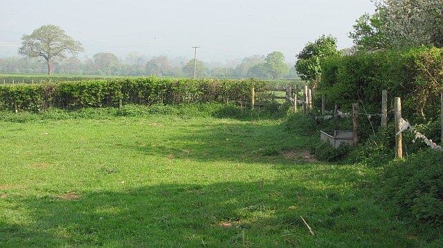
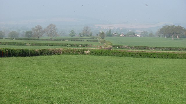
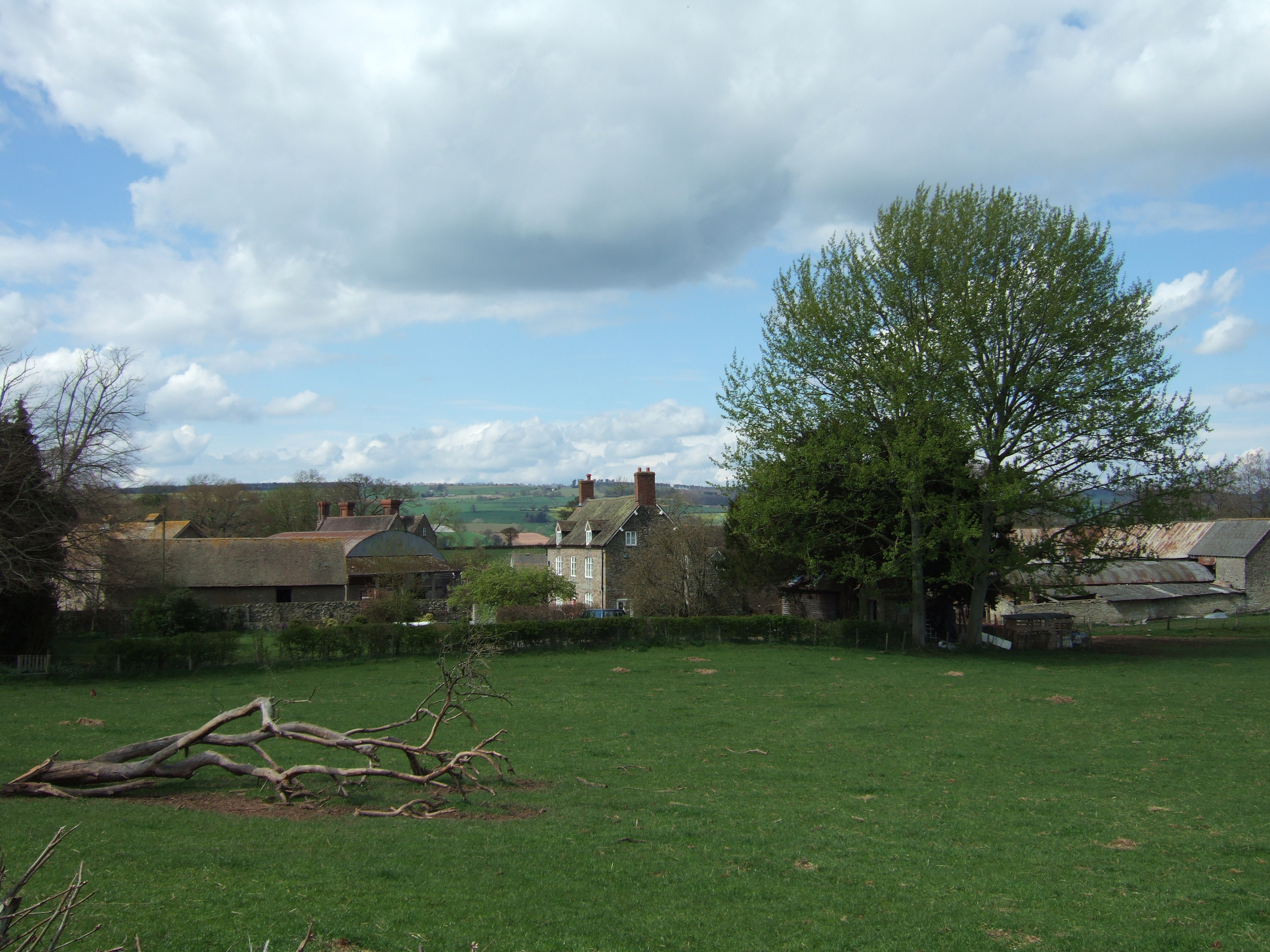
The valley is characterized by its lush greenery, rolling hills, and meandering streams. It is home to a diverse range of flora and fauna, making it a haven for nature enthusiasts and wildlife lovers. The dingle's dense woodland provides a habitat for various species of birds, mammals, and insects, adding to its natural charm.
The valley's name, Lydehole, is derived from the Old English word "hlaw," meaning a hill or mound, and "lyde," referring to a stream or brook. This is fitting, as Lydehole Dingle is nestled between two hills and is crisscrossed by several small streams.
Visitors to Lydehole Dingle can enjoy leisurely walks along the many footpaths that wind through the valley, offering breathtaking views of the surrounding countryside. The area is also popular for picnics, allowing visitors to relax and soak in the peaceful atmosphere.
For those interested in history, Lydehole Dingle is steeped in it. The valley is dotted with remnants of ancient settlements, including burial mounds and earthworks, providing a glimpse into the area's rich past.
Overall, Lydehole Dingle is a hidden gem in Shropshire, offering a serene and picturesque landscape that appeals to nature lovers, history enthusiasts, and those seeking a peaceful retreat in the heart of the English countryside.
If you have any feedback on the listing, please let us know in the comments section below.
Lydehole Dingle Images
Images are sourced within 2km of 52.432021/-2.7017282 or Grid Reference SO5281. Thanks to Geograph Open Source API. All images are credited.


Lydehole Dingle is located at Grid Ref: SO5281 (Lat: 52.432021, Lng: -2.7017282)
Unitary Authority: Shropshire
Police Authority: West Mercia
What 3 Words
///native.recline.syndicate. Near Ludlow, Shropshire
Nearby Locations
Related Wikis

Downton Hall
Downton Hall is a privately owned 18th-century country house at Stanton Lacy, near Ludlow, Shropshire. It is a Grade II* listed building.The house was...
Hopton Cangeford
Hopton Cangeford, also referred to as Hopton-in-the-Hole, is a small village and civil parish in south Shropshire, England. The small parish includes Lesser...

Clee Hills
The Clee Hills are a range of hills in Shropshire, England near Ludlow, consisting of Brown Clee Hill 1,772 feet (540 m), the highest peak in Shropshire...

River Corve
The River Corve is a minor river in Shropshire, England. It is a tributary of the River Teme which it joins in the town of Ludlow, and which joins the...
Peaton
Peaton is a hamlet in the civil parish of Diddlebury in Shropshire, England. It is situated in the Corvedale, between Diddlebury and Bouldon. The Pye Brook...
Culvestan
Culvestan was a hundred of Shropshire, England. Formed during Anglo-Saxon England, it encompassed manors in central southern Shropshire, and was amalgamated...

Culmington
Culmington is a village and civil parish in south Shropshire, England, about 3+1⁄2 miles (5.6 km) east of Craven Arms and 4+1⁄2 miles (7 km) north of Ludlow...

Bouldon
Bouldon is a hamlet in Shropshire, England. It lies in the civil parish of Diddlebury. The hamlet comprises approximately 14 houses, a number of agricultural...
Nearby Amenities
Located within 500m of 52.432021,-2.7017282Have you been to Lydehole Dingle?
Leave your review of Lydehole Dingle below (or comments, questions and feedback).