Bridgetown Den
Valley in Fife
Scotland
Bridgetown Den
Bridgetown Den is a charming and picturesque village located in Fife, Scotland. Nestled in a scenic valley, it offers breathtaking views of the surrounding hills and countryside. The village is situated near the River Tay, which adds to its natural beauty and tranquility.
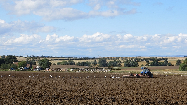
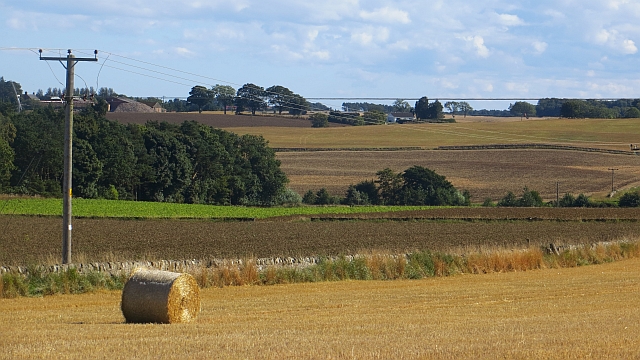
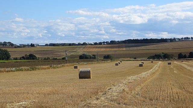
Bridgetown Den is renowned for its lush green landscapes and vibrant flora. The area is home to various species of wildlife, making it a popular spot for nature enthusiasts and birdwatchers. The village is surrounded by dense forests and walking trails, providing ample opportunities for outdoor activities and exploration.
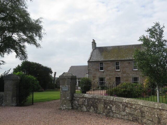
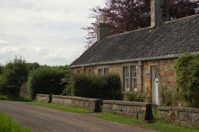
The village itself is small yet welcoming, with a close-knit community. It boasts a rich history, dating back several centuries. The quaint cottages and traditional stone buildings add to its charm and character.
Bridgetown Den offers a range of amenities and facilities to its residents. There are local shops, cafes, and pubs, providing essential services and a place to socialize. The village also has a primary school, ensuring educational needs are met for families in the area.
The location of Bridgetown Den is ideal for those seeking a peaceful and idyllic lifestyle. Its close proximity to larger towns and cities, such as Cupar and Dundee, allows for easy access to additional amenities, employment opportunities, and transport links.
Overall, Bridgetown Den in Fife is a hidden gem, offering a tranquil escape from the hustle and bustle of city life. Its natural beauty, welcoming community, and convenient location make it an attractive place to live or visit.
If you have any feedback on the listing, please let us know in the comments section below.
Bridgetown Den Images
Images are sourced within 2km of 56.295768/-2.7905028 or Grid Reference NO5111. Thanks to Geograph Open Source API. All images are credited.


Bridgetown Den is located at Grid Ref: NO5111 (Lat: 56.295768, Lng: -2.7905028)
Unitary Authority: Fife
Police Authority: Fife
What 3 Words
///chatters.trendy.quicker. Near St Andrews, Fife
Nearby Locations
Related Wikis

Stravithie railway station
Stravithie railway station served the hamlet of Stravithie, Fife, Scotland from 1887 to 1930 on the Anstruther and St Andrews Railway. == History == The...

Cameron, Fife
Cameron is a parish in east Fife, Scotland, 3½ miles south-west of St Andrews.It is bounded on the north by the parish of St Andrews, on the east by Dunino...

Pittarthie Castle
Pittarthie Castle is the remains of what was a laird’s tower house in Fife, Scotland dating to the end of the sixteenth century. The ruins of the structure...

Dunino
See also Dunino, Poland.Dunino is a village and parish in the East Neuk of Fife. It is 10 km from the nearest town, St Andrews, and 8 km from the fishing...

Mount Melville railway station
Mount Melville railway station served the Mount Melville estate outside St Andrews, Fife, Scotland from 1887 to 1930 on the Anstruther and St Andrews Railway...
St Andrews Community Hospital
St Andrews Community Hospital is a small hospital to the south of the university town of St Andrews in Fife, Scotland. The hospital serves the town of...
Riggin o Fife
The Riggin o Fife is an upland area of Fife, Scotland which runs eastward from the Markinch Gap and the Howe of Fife to form the elevated hinterland to...
Craigtoun Miniature Railway
The Craigtoun Park Railway is a 15 in (381 mm) gauge railway operating on a circular track around part of the Craigtoun Country Park in St Andrews, Fife...
Nearby Amenities
Located within 500m of 56.295768,-2.7905028Have you been to Bridgetown Den?
Leave your review of Bridgetown Den below (or comments, questions and feedback).