Mosedale
Valley in Westmorland Eden
England
Mosedale

Mosedale is a picturesque valley located in Westmorland, a historic county in the North West of England. Situated within the Lake District National Park, Mosedale offers breathtaking views of rolling hills, lush meadows, and towering mountains. The valley is surrounded by several notable peaks, including Carrock Fell to the north and Great Calva to the south.
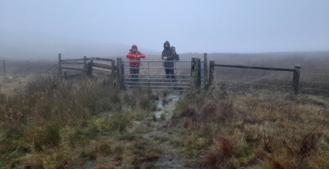
Mosedale is best known for its tranquil and unspoiled natural beauty, making it a popular destination for outdoor enthusiasts and nature lovers. The valley offers a variety of walking and hiking trails, ranging from gentle strolls along the valley floor to more challenging routes up the surrounding fells. The famous Cumbria Way, a long-distance footpath, passes through Mosedale, offering visitors the opportunity to explore the valley and its surroundings.
In addition to its natural wonders, Mosedale also boasts a rich cultural heritage. The valley is home to several historic landmarks, including the medieval St. Kentigern's Church, with its distinctive square tower and beautifully preserved interior. The church provides a glimpse into the area's past, serving as a reminder of the centuries of human activity that have shaped the landscape.
Although Mosedale is a predominantly rural area, there are a few small communities scattered throughout the valley. These charming hamlets offer a sense of traditional village life, with quaint cottages and friendly locals. Visitors can also find accommodation options, ranging from cozy bed and breakfasts to self-catering cottages, allowing them to fully immerse themselves in the tranquil beauty of Mosedale.
If you have any feedback on the listing, please let us know in the comments section below.
Mosedale Images
Images are sourced within 2km of 54.48298/-2.7757843 or Grid Reference NY4910. Thanks to Geograph Open Source API. All images are credited.


Mosedale is located at Grid Ref: NY4910 (Lat: 54.48298, Lng: -2.7757843)
Administrative County: Cumbria
District: Eden
Police Authority: Cumbria
What 3 Words
///lace.permanent.majoring. Near Shap, Cumbria
Related Wikis

Howes (fell)
Howes is a subsidiary summit of Branstree in the English Lake District, south east of Selside Pike in Cumbria. It is the subject of a chapter of Wainwright...

Selside Pike
Selside Pike or Selside is a fell in the English Lake District. It stands between the valleys of Mardale and Swindale in the Far Eastern Fells. == Topography... ==

Mosedale Beck (Swindale)
Mosedale Beck is a stream in Cumbria, England, which runs between Tarn Crag and Branstree, flowing north to join Swindale Beck at Swindale Head; Swindale...

Branstree
Branstree is a fell in the Far Eastern part of the English Lake District. It overlooks the valley of Mardale and Haweswater Reservoir. == Topography... ==

Tarn Crag (Far Eastern Fells)
Tarn Crag is a fell in the English Lake District. It stands to the east of Longsleddale in the Far Eastern Fells. == Topography == North of Sadgill, the...

Grey Crag
Grey Crag is a fell in the English Lake District. It stands to the east of Longsleddale in the Far Eastern Fells. == Topography == North of Sadgill, the...

Seat Robert
Seat Robert is a hill in the east of the English Lake District, south west of Shap, Cumbria. It is the subject of a chapter of Wainwright's book The Outlying...
Mardale
Mardale is a glacial valley in the Lake District, in northern England. The valley used to have a hamlet at its head, called Mardale Green, but this village...
Nearby Amenities
Located within 500m of 54.48298,-2.7757843Have you been to Mosedale?
Leave your review of Mosedale below (or comments, questions and feedback).