Stobie Cleuch
Valley in Roxburghshire
Scotland
Stobie Cleuch
Stobie Cleuch is a picturesque valley located in the region of Roxburghshire, in the Scottish Borders of southeastern Scotland. Nestled amidst rolling hills and verdant countryside, this tranquil valley is renowned for its natural beauty and rich history.
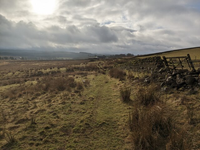
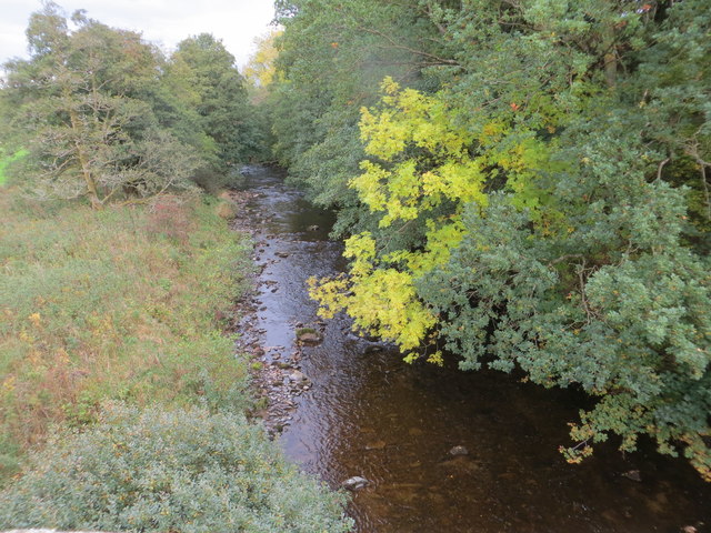
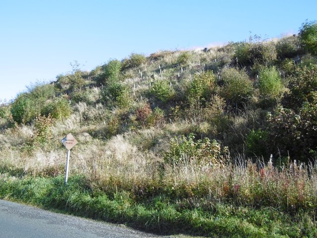
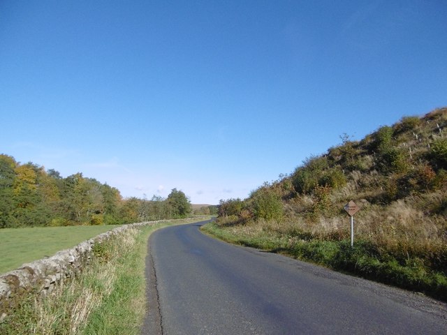
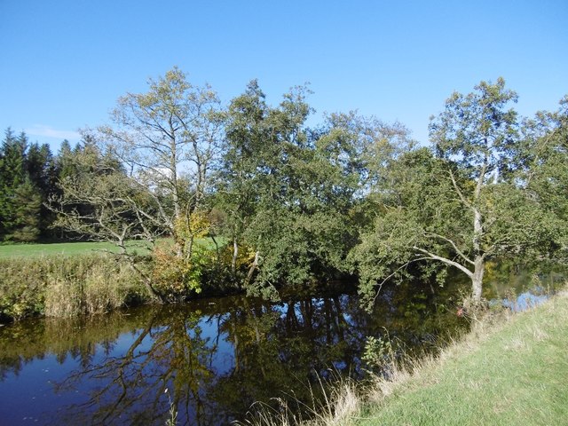
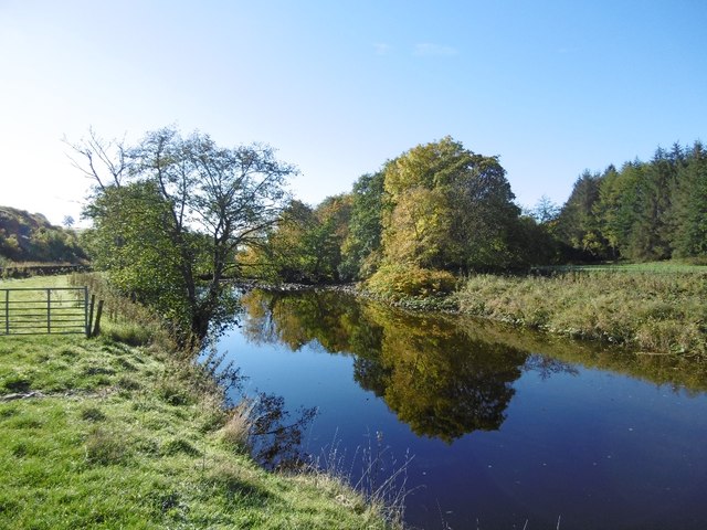
The valley is characterized by its lush green landscapes, with sprawling meadows, dense forests, and meandering waterways. The River Teviot, one of Scotland's most scenic rivers, gracefully winds its way through the valley, adding to the charm and serenity of the surroundings.
Stobie Cleuch is a haven for outdoor enthusiasts and nature lovers. The valley offers numerous walking trails and hiking routes, allowing visitors to explore its breathtaking scenery. From gentle strolls along the riverbanks to more challenging hikes up the surrounding hills, there is something to suit every level of fitness and interest.
Wildlife enthusiasts will also find Stobie Cleuch to be a haven for various species. The valley is home to a diverse range of birds, including buzzards, owls, and kingfishers. Red deer, roe deer, and hares can often be spotted roaming freely in the fields, while the river teems with trout and salmon.
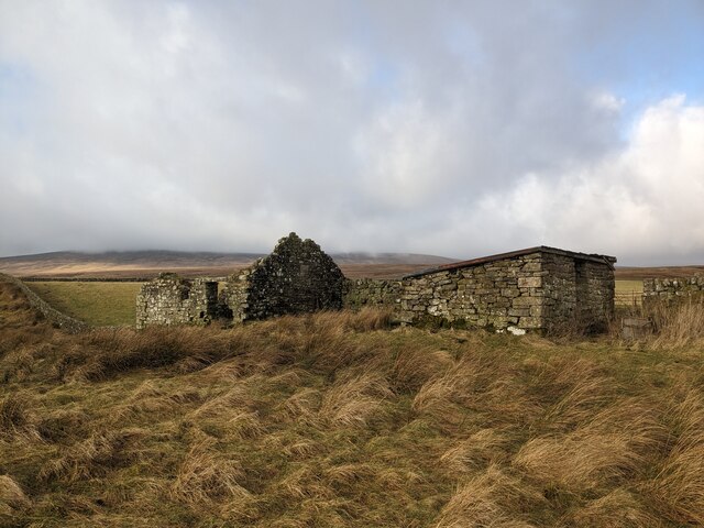
In addition to its natural attractions, Stobie Cleuch boasts a rich historical heritage. The valley is dotted with ancient ruins, such as the remnants of Roman settlements and medieval towers. These historical sites offer visitors a glimpse into Scotland's past and provide a fascinating backdrop to the valley's natural beauty.
Overall, Stobie Cleuch is a hidden gem in Roxburghshire, offering visitors a perfect blend of stunning landscapes, outdoor activities, and historical intrigue. Whether it's a leisurely stroll, a challenging hike, or a journey into the past, Stobie Cleuch has something to captivate every visitor.
If you have any feedback on the listing, please let us know in the comments section below.
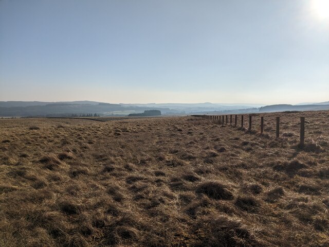
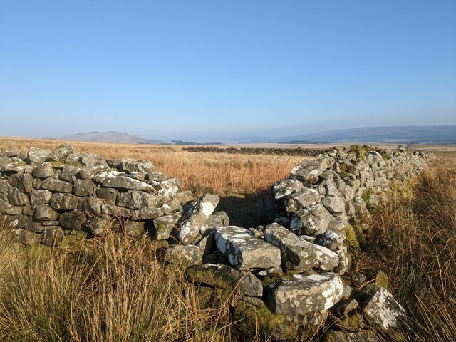
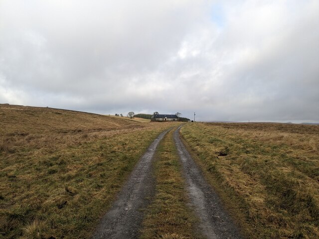
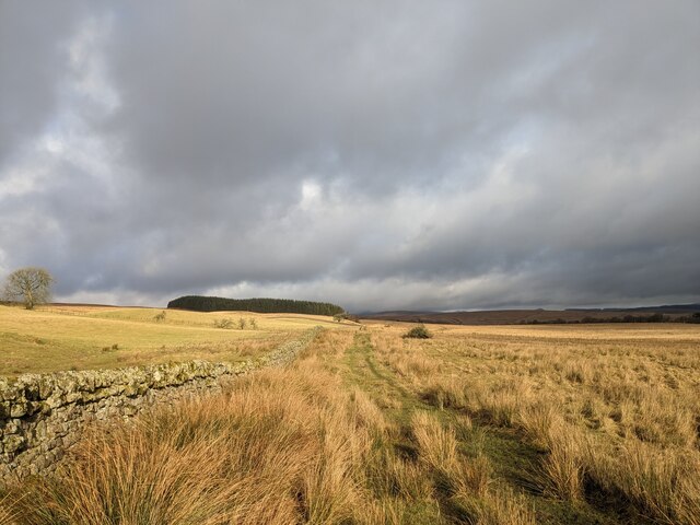
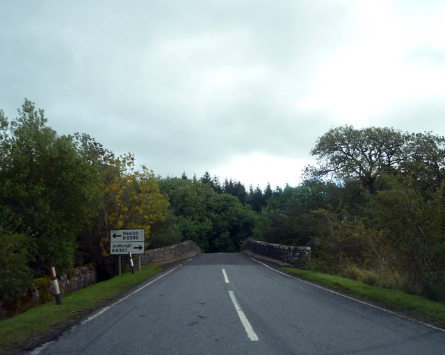
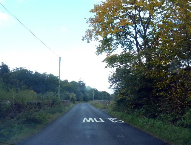
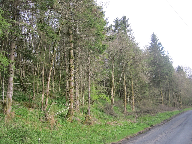
Stobie Cleuch Images
Images are sourced within 2km of 55.215148/-2.7915063 or Grid Reference NY4991. Thanks to Geograph Open Source API. All images are credited.


Stobie Cleuch is located at Grid Ref: NY4991 (Lat: 55.215148, Lng: -2.7915063)
Unitary Authority: The Scottish Borders
Police Authority: The Lothians and Scottish Borders
What 3 Words
///hacking.remains.resorting. Near Langholm, Dumfries & Galloway
Nearby Locations
Related Wikis

Liddel Castle
Liddel Castle is a ruined castle in Liddesdale, by the Liddel Water, near Castleton in the Scottish Borders area of Scotland, in the former county of Roxburghshire...

Steele Road railway station
Steele Road railway station served the hamlet of Steele Road, Scottish Borders, Scotland, from 1862 to 1969 on the Border Union Railway. == History... ==
Dinlabyre
Dinlabyre is a village on the B6357 in Liddesdale, on the edge of the Newcastleton Forest, close to Castleton, in the Scottish Borders area of Scotland...

Newcastleton railway station
Newcastleton railway station served the village of Newcastleton, Scottish Borders, Scotland from 1862 to 1969 on the Border Union Railway. == History... ==
Nearby Amenities
Located within 500m of 55.215148,-2.7915063Have you been to Stobie Cleuch?
Leave your review of Stobie Cleuch below (or comments, questions and feedback).