Boneywell Dingle

Valley in Herefordshire

England

Boneywell Dingle

Below High Vinnalls Looking across fields below High Vinnalls.
Below High Vinnalls Credit: Ian Capper

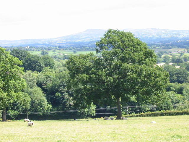
Boneywell Dingle is a picturesque valley situated in Herefordshire, England. It is located in the western part of the county, nestled between rolling hills and surrounded by lush green countryside. The Dingle is renowned for its natural beauty and tranquil atmosphere, making it a popular destination for nature lovers and outdoor enthusiasts.

The valley is named after the Boneywell stream that flows through it, adding to the serene ambiance. The stream, known for its crystal-clear waters, meanders through the Dingle, creating small cascades and pools along its course. The presence of the stream also supports a diverse ecosystem, with an abundance of flora and fauna thriving in the area.

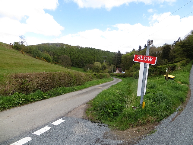
Boneywell Dingle offers a variety of recreational activities for visitors. The valley is crisscrossed by numerous footpaths and trails, making it an ideal location for hiking and walking. The scenic beauty of the surroundings provides an excellent backdrop for photography and nature appreciation.

In addition to its natural attractions, Boneywell Dingle is also home to some historical landmarks. The remains of an ancient Iron Age hillfort can be found on one of the hilltops overlooking the valley, adding a touch of historical significance to the area.

Overall, Boneywell Dingle in Herefordshire is a haven of tranquility and natural beauty. Whether one seeks a peaceful walk in nature, a photography expedition, or a glimpse into the region's history, this valley offers something for everyone to enjoy.

If you have any feedback on the listing, please let us know in the comments section below.

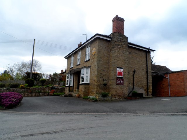
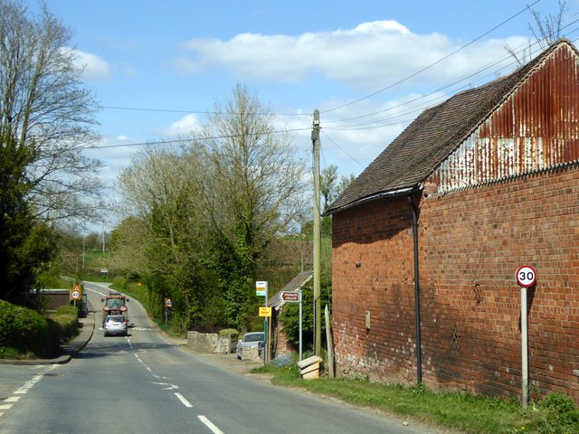
Boneywell Dingle Images

Images are sourced within 2km of 52.328448/-2.7633473 or Grid Reference SO4870. Thanks to Geograph Open Source API. All images are credited.

Below High Vinnalls Looking across fields below High Vinnalls.
Below High Vinnalls
Looking across fields below High Vinnalls.
Farm track near Richard's Castle In valleys of springs of rivers,
           By Onny and Teme and Clun,
          The country for easy livers,
           The quietest under the sun.

Excerpt from 'A Shropshire Lad' by AE Housman
Farm track near Richard's Castle
In valleys of springs of rivers, By Onny and Teme and Clun, The country for easy livers, The quietest under the sun. Excerpt from 'A Shropshire Lad' by AE Housman
Lane and footpath near Richard's Castle A waymarker sits between lanes at the junction point.
Lane and footpath near Richard's Castle
A waymarker sits between lanes at the junction point.
April's House, Waterloo Lane, near Richard's Castle A large and impressive house in an isolated spot. Interesting circular saw blade
April's House, Waterloo Lane, near Richard's Castle
A large and impressive house in an isolated spot. Interesting circular saw blade
Park Lane, Richards Castle
The Castle Inn, Richard's Castle Roadside pub in the village.
The Castle Inn, Richard's Castle
Roadside pub in the village.
Big field near Richards Castle Harvested cornfield to the east of Richards Castle.
Big field near Richards Castle
Harvested cornfield to the east of Richards Castle.
B4361 passes through Richards Castle
The Castle Inn, Richards Castle Richards Castle takes its name from the castle built for Richard Fitz Scrob before 1051. He was a Norman who had been granted lands in this area by King Edward the Confessor prior to the Norman conquest in 1066.
The Castle Inn, Richards Castle
Richards Castle takes its name from the castle built for Richard Fitz Scrob before 1051. He was a Norman who had been granted lands in this area by King Edward the Confessor prior to the Norman conquest in 1066.
Trees with mistletoe By the B4361 south of Richards Castle
Trees with mistletoe
By the B4361 south of Richards Castle
B4361 in Richards Castle A junction leading to the centre of the village, with a bus stop on the main road which serves the village.
B4361 in Richards Castle
A junction leading to the centre of the village, with a bus stop on the main road which serves the village.
Footpath through fields in Richards Castle
Potato field Below Woodhouse Lane and looking towards the transmitters at Woofferton.
Potato field
Below Woodhouse Lane and looking towards the transmitters at Woofferton.
Woodhouse Lane Between the Goggin and Richard's Castle.
Woodhouse Lane
Between the Goggin and Richard's Castle.
The Goggin A road follows a scenic valley up the dip side of the big limestone ridge. The scarp side, Killhorse Lane is not so forgiving.
The Goggin
A road follows a scenic valley up the dip side of the big limestone ridge. The scarp side, Killhorse Lane is not so forgiving.
The Goggin View uphill.  There is a string of small cottages along the road as it ascends the pass.
The Goggin
View uphill. There is a string of small cottages along the road as it ascends the pass.
The Goggin Goggin Copse - off the beaten track
The Goggin
Goggin Copse - off the beaten track
Patrick's Hill Looking east from Patrick's Hill, Clee Hill on the horizon
Patrick's Hill
Looking east from Patrick's Hill, Clee Hill on the horizon
Show me another place!

Boneywell Dingle is located at Grid Ref: SO4870 (Lat: 52.328448, Lng: -2.7633473)

Unitary Authority: County of Herefordshire

Police Authority: West Mercia

What 3 Words

///keep.initiated.reefs. Near Elton, Herefordshire

Related Wikis

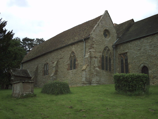
St Bartholomew's Church, Richard's Castle

St Bartholomew's Church is a redundant Anglican church in the village of Richard's Castle, Herefordshire, England. It is recorded in the National Heritage...

Richard's Castle

Richard's Castle is a village, castle and two civil parishes on the border of the counties of Herefordshire and Shropshire in England. The Herefordshire...

High Vinnalls

High Vinnalls is a hill in the English county of Herefordshire, though commonly considered a member of the Shropshire Hills. It is located in the parish...

Moor Park School

Moor Park School is a coeducational preparatory day and boarding school in the village of Richard's Castle, near Ludlow, England. It educates about 300...

Nearby Amenities

Located within 500m of 52.328448,-2.7633473
Grit Bin
Source: survey
Lat/Long: 52.3282108/-2.7568254
Grit Bin
Source: survey
Lat/Long: 52.3287656/-2.756364
Ford: yes
Lat/Long: 52.3276387/-2.7619034
The data included in this document is from www.openstreetmap.org. The data is made available under ODbL.

Have you been to Boneywell Dingle?

Leave your review of Boneywell Dingle below (or comments, questions and feedback).