Brownhowe Bottom
Valley in Westmorland South Lakeland
England
Brownhowe Bottom
Brownhowe Bottom is a picturesque valley located in the county of Westmorland, in the northwest region of England. Nestled within the Lake District National Park, this tranquil valley offers breathtaking natural beauty and a peaceful retreat for visitors.
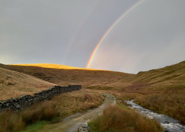
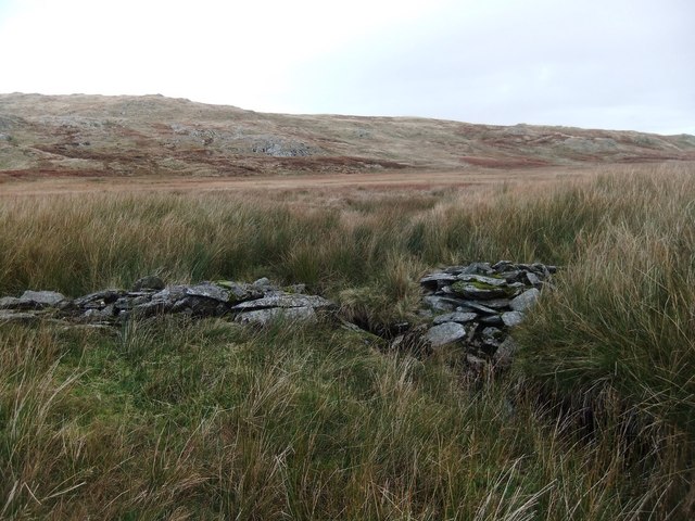
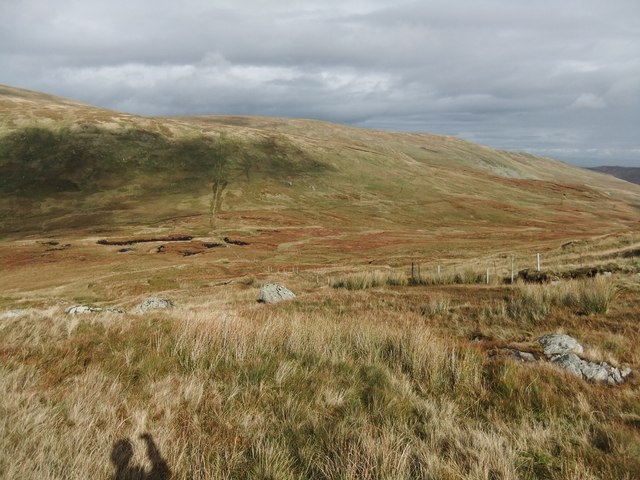
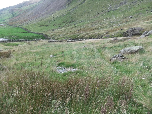
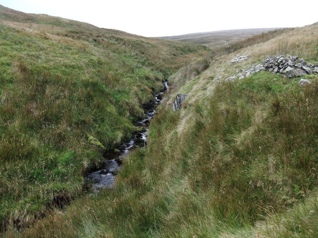
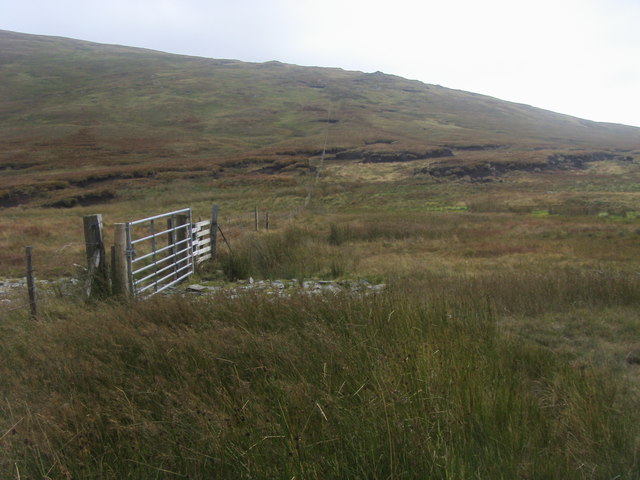
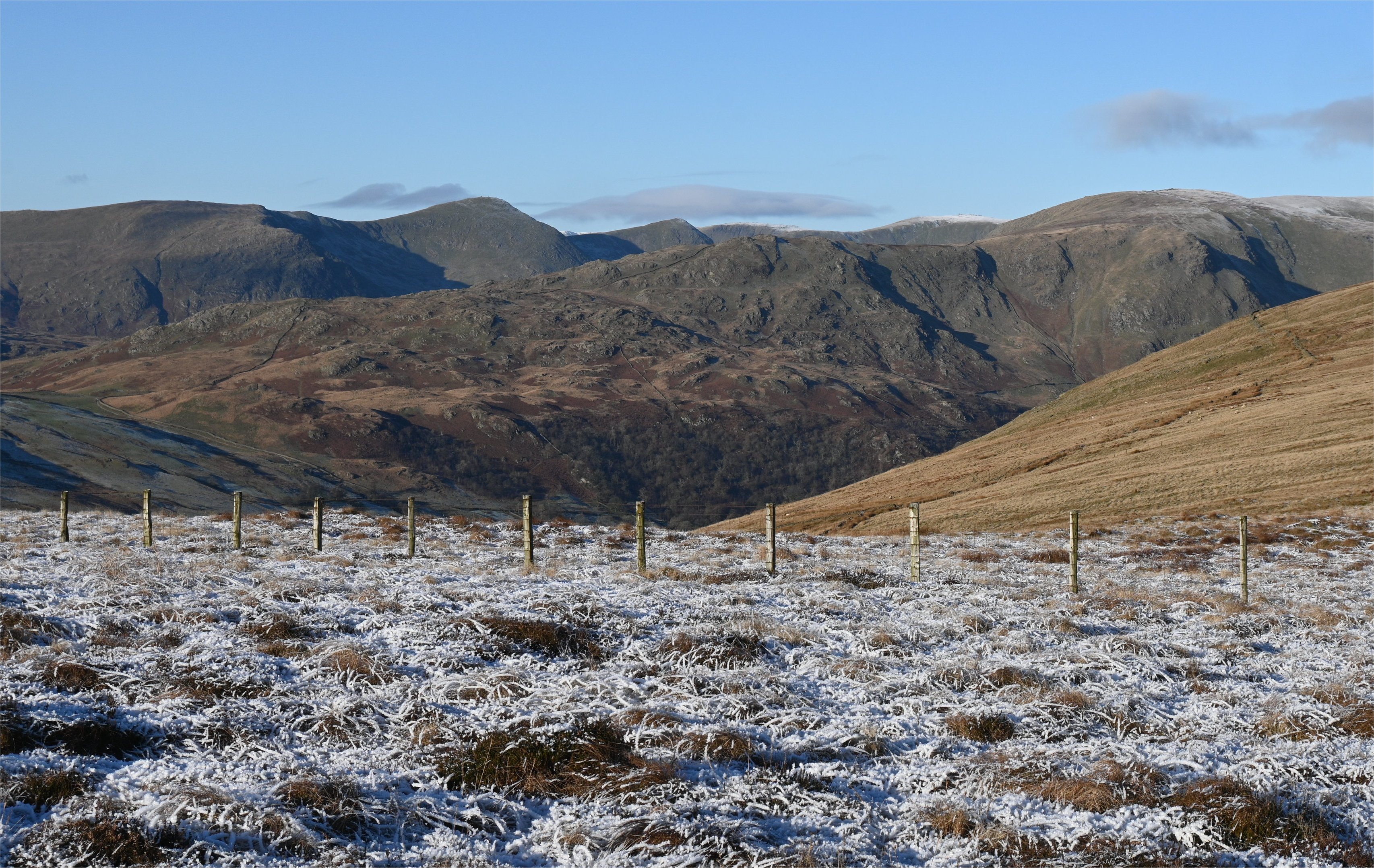
Surrounded by rolling hills and lush greenery, Brownhowe Bottom is known for its idyllic landscape and unspoiled charm. The valley is home to a diverse range of flora and fauna, including native species such as red squirrels, roe deer, and a variety of bird species. The babbling streams and cascading waterfalls that meander through the valley add to its enchanting ambiance.
The valley is also dotted with several quaint cottages and traditional farmhouses, showcasing the area's rich agricultural heritage. These buildings, made from local stone, blend seamlessly into the surroundings, creating a harmonious and authentic rural setting.
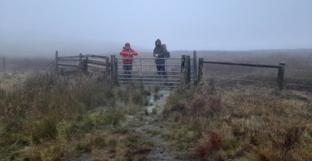
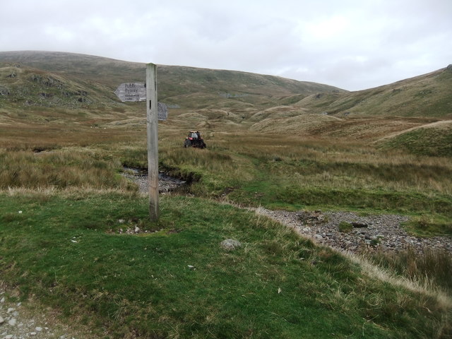
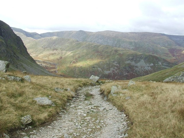
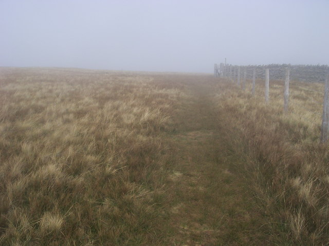
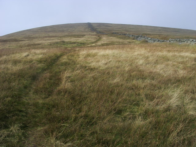
For outdoor enthusiasts, Brownhowe Bottom offers numerous walking and hiking trails, providing a chance to explore the valley's remarkable scenery up close. The paths wind through ancient woodlands, past moss-covered stone walls, and offer stunning panoramic views of the surrounding mountains and lakes.
Visitors to Brownhowe Bottom can also enjoy picnicking by the riverside, fishing in the clear waters, or simply taking in the peaceful atmosphere. The valley's remote location and lack of commercial development contribute to its untouched and serene character.
In conclusion, Brownhowe Bottom is a true gem within Westmorland and the Lake District, offering a glimpse into the unspoiled beauty of the English countryside. Its stunning landscape, abundant wildlife, and tranquility make it a must-visit destination for nature lovers and those seeking a peaceful escape.
If you have any feedback on the listing, please let us know in the comments section below.
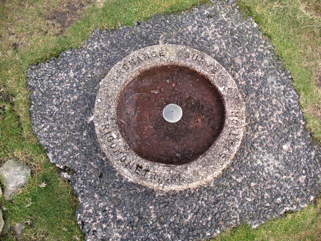
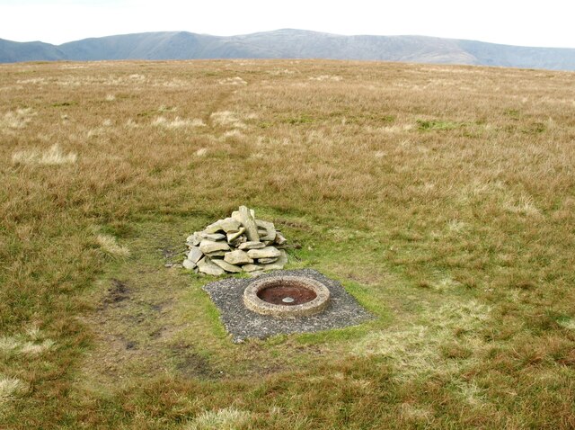
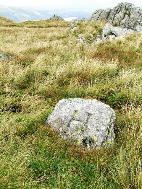
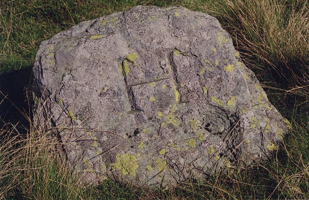
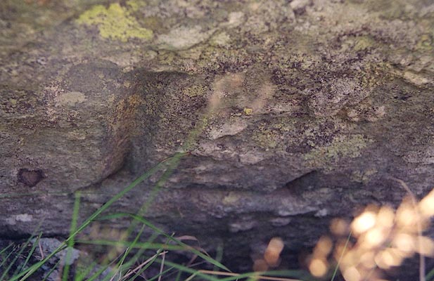
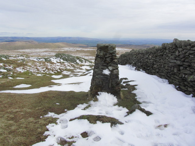
Brownhowe Bottom Images
Images are sourced within 2km of 54.471099/-2.8046149 or Grid Reference NY4708. Thanks to Geograph Open Source API. All images are credited.


Brownhowe Bottom is located at Grid Ref: NY4708 (Lat: 54.471099, Lng: -2.8046149)
Administrative County: Cumbria
District: South Lakeland
Police Authority: Cumbria
What 3 Words
///rust.insurance.teamed. Near Shap, Cumbria
Nearby Locations
Related Wikis

Branstree
Branstree is a fell in the Far Eastern part of the English Lake District. It overlooks the valley of Mardale and Haweswater Reservoir. == Topography... ==

Tarn Crag (Far Eastern Fells)
Tarn Crag is a fell in the English Lake District. It stands to the east of Longsleddale in the Far Eastern Fells. == Topography == North of Sadgill, the...

Kentmere Pike
Kentmere Pike is a fell in the English Lake District, rising between the valleys of Kentmere and Longsleddale. It is the highpoint on the ridge between...

Harter Fell (Mardale)
Harter Fell is a fell in the far eastern part of the English Lake District. The summit at lies the meeting point of three ridges, and Harter Fell forms...

Grey Crag
Grey Crag is a fell in the English Lake District. It stands to the east of Longsleddale in the Far Eastern Fells. == Topography == North of Sadgill, the...

Howes (fell)
Howes is a subsidiary summit of Branstree in the English Lake District, south east of Selside Pike in Cumbria. It is the subject of a chapter of Wainwright...
Shipman Knotts
Shipman Knotts is a fell in the English Lake District in Cumbria, England. It reaches a height of 587 metres (1,926 ft) and is situated in one of the quieter...

Selside Pike
Selside Pike or Selside is a fell in the English Lake District. It stands between the valleys of Mardale and Swindale in the Far Eastern Fells. == Topography... ==
Nearby Amenities
Located within 500m of 54.471099,-2.8046149Have you been to Brownhowe Bottom?
Leave your review of Brownhowe Bottom below (or comments, questions and feedback).