Bruntshiel Cleuch

Valley in Roxburghshire

Scotland

Bruntshiel Cleuch

Greatmoor Hill Climbed up from Hermitage for Chris Watson's 900th Marilyn on a grey windy morning.
Name: Greatmoor Hill
Hill number: 1914
Height: 599m / 1965ft
Area:28B: The River Tweed to the English Border
Class: Ma,5D
Grid ref: NT 48982 00687
Summit feature: trig point
Drop: 163m
Col: 436m  NT470003
Greatmoor Hill Credit: Rude Health

Bruntshiel Cleuch is a picturesque valley located in the county of Roxburghshire, Scotland. Situated in the southern part of the country, this charming valley is renowned for its natural beauty and tranquil atmosphere.

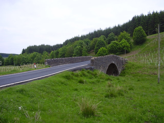
The valley is nestled amidst rolling hills and is characterized by its lush greenery, dotted with numerous trees, shrubs, and wildflowers. The landscape is dominated by the meandering Bruntshiel Burn, a small stream that runs through the heart of the valley. The crystal-clear waters of the burn add to the serenity of the surroundings and create a soothing ambiance.

Bruntshiel Cleuch is a haven for wildlife enthusiasts and nature lovers. The valley supports a diverse range of fauna, including various species of birds, small mammals, and insects. It is not uncommon to spot red squirrels, hares, or even the occasional roe deer while exploring the area.

The valley also holds historical significance, as it was once home to ancient settlements and farming communities. Traces of these early inhabitants can still be found in the form of archaeological sites and ruins.

Visitors to Bruntshiel Cleuch can enjoy a range of outdoor activities. The valley offers ample opportunities for hiking, walking, and birdwatching. There are well-maintained trails that allow visitors to explore the valley and take in its breathtaking vistas. Additionally, the nearby area provides facilities for camping and picnicking, making it an ideal spot for a day trip or a weekend getaway.

In summary, Bruntshiel Cleuch is a captivating valley in Roxburghshire, Scotland, that boasts natural beauty, wildlife, and historical significance. It is a haven for outdoor enthusiasts and offers a peaceful retreat for those seeking tranquility amidst nature's splendor.

If you have any feedback on the listing, please let us know in the comments section below.

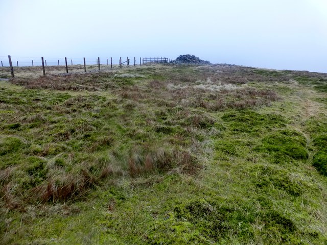
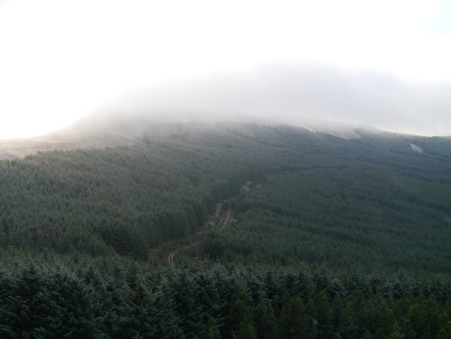
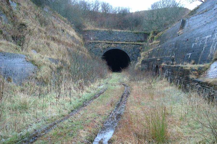
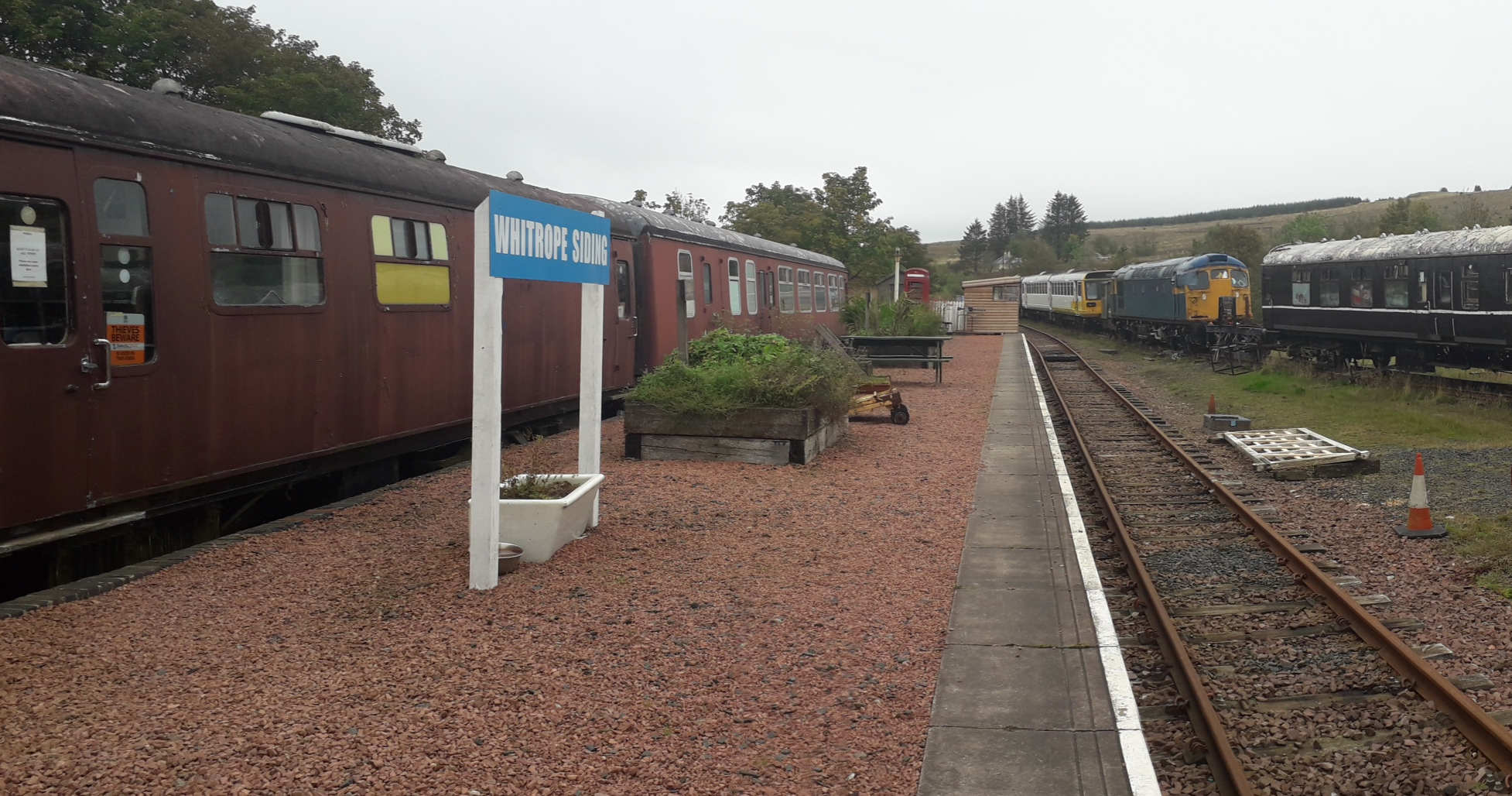
Bruntshiel Cleuch Images

Images are sourced within 2km of 55.305517/-2.8220225 or Grid Reference NT4701. Thanks to Geograph Open Source API. All images are credited.

Greatmoor Hill Climbed up from Hermitage for Chris Watson's 900th Marilyn on a grey windy morning.
Name: Greatmoor Hill
Hill number: 1914
Height: 599m / 1965ft
Area:28B: The River Tweed to the English Border
Class: Ma,5D
Grid ref: NT 48982 00687
Summit feature: trig point
Drop: 163m
Col: 436m  NT470003
Greatmoor Hill
Climbed up from Hermitage for Chris Watson's 900th Marilyn on a grey windy morning. Name: Greatmoor Hill Hill number: 1914 Height: 599m / 1965ft Area:28B: The River Tweed to the English Border Class: Ma,5D Grid ref: NT 48982 00687 Summit feature: trig point Drop: 163m Col: 436m NT470003
Forest Ride Near Swire Knowe Looking towards a forest ride near Swire Knowe.  This is where the path from Braidlie, to the south, passes into the forest on its way to Priesthaugh.
Forest Ride Near Swire Knowe
Looking towards a forest ride near Swire Knowe. This is where the path from Braidlie, to the south, passes into the forest on its way to Priesthaugh.
The Western Slope Of Scaw'd Law Extensive Sitka forestry on the western slopes of Scaw'd Law as viewed from Maiden Paps.  In the distance, snow is falling over Greatmoor Hill.  Only a few light flakes fell on my time heading up to Maiden Paps.
The Western Slope Of Scaw'd Law
Extensive Sitka forestry on the western slopes of Scaw'd Law as viewed from Maiden Paps. In the distance, snow is falling over Greatmoor Hill. Only a few light flakes fell on my time heading up to Maiden Paps.
Summit of Greatmoor Hill
The ridge running northeast from Greatmoor Hill
Lansey Sike Lansey Sike is the furthest away burn on the right flowing into Windy Sike which rises on the slopes of Caldcleuch Head. Sike apparently means 'a stream, such as is usually dry in summer' - neither of these 2 were dry in fact it was very boggy here and just to the right is Queen's Mire - also a giveaway as to how wet it might be underfoot.
Lansey Sike
Lansey Sike is the furthest away burn on the right flowing into Windy Sike which rises on the slopes of Caldcleuch Head. Sike apparently means 'a stream, such as is usually dry in summer' - neither of these 2 were dry in fact it was very boggy here and just to the right is Queen's Mire - also a giveaway as to how wet it might be underfoot.
Queen's Mire The shallow and slightly boggy col between Winterlair Hill and Swire Knowe to the north.
Queen's Mire
The shallow and slightly boggy col between Winterlair Hill and Swire Knowe to the north.
Reedy Edge The fence leads directly to the summit of Greatmoor Hill.  The contrast of grassland to heather was particularly noticeable when walking across the square.
Reedy Edge
The fence leads directly to the summit of Greatmoor Hill. The contrast of grassland to heather was particularly noticeable when walking across the square.
Summit of Greatmoor Hill The trig pillar and cairn on top of a misty and wet Greatmoor Hill (599m)
Summit of Greatmoor Hill
The trig pillar and cairn on top of a misty and wet Greatmoor Hill (599m)
Priesthaugh-hill This isolated farmhouse sits at the foot of Cauld Cleuch, the burn which gives its name to the hill in the background, Cauldcleuch Head.
Priesthaugh-hill
This isolated farmhouse sits at the foot of Cauld Cleuch, the burn which gives its name to the hill in the background, Cauldcleuch Head.
Cat Sike Looking south west from the forest track running up the Priesthaugh Burn. This firebreak carries the burn called Cat Sike and provides a rough but direct route to the summit of Cauldcleuch Head. The name Cat Sike and the small sheepfold in the bottom right appear on the 1:25000 OS map.
Cat Sike
Looking south west from the forest track running up the Priesthaugh Burn. This firebreak carries the burn called Cat Sike and provides a rough but direct route to the summit of Cauldcleuch Head. The name Cat Sike and the small sheepfold in the bottom right appear on the 1:25000 OS map.
Forest track The track along the Priesthaugh Burn plunges into forest in this grid square, but the colours are not as uniform as this photo would suggest. Taken on a rather grey day, the mix of spruce, larch and Scots pine are unfortunately not shown to their full autumn best.
Forest track
The track along the Priesthaugh Burn plunges into forest in this grid square, but the colours are not as uniform as this photo would suggest. Taken on a rather grey day, the mix of spruce, larch and Scots pine are unfortunately not shown to their full autumn best.
View from Windy Edge Looking due east from the slopes of Windy Edge above the tree line to the summit of Greatmoor Hill. The small intervening bump is called Swire Knowe.
View from Windy Edge
Looking due east from the slopes of Windy Edge above the tree line to the summit of Greatmoor Hill. The small intervening bump is called Swire Knowe.
Swire Knowe On the summit of Swire Knowe looking due west towards Windy Edge and the climb onto Cauldcleuch Head.
Swire Knowe
On the summit of Swire Knowe looking due west towards Windy Edge and the climb onto Cauldcleuch Head.
Upland landscape Heather and ferns cover the ground near Scaw'd Law with a plantation on the right at Black Rig and Greatmoor Hill on the left in the distance.
Upland landscape
Heather and ferns cover the ground near Scaw'd Law with a plantation on the right at Black Rig and Greatmoor Hill on the left in the distance.
Bruntshiel Cleuch A small burn drains the Cleuch down to the Priesthaugh Burn.  The square is mostly monoculture forest.
Bruntshiel Cleuch
A small burn drains the Cleuch down to the Priesthaugh Burn. The square is mostly monoculture forest.
Forest edge, Dod Rig The square is half forest, half rough moorland.
Forest edge, Dod Rig
The square is half forest, half rough moorland.
Forest edge, Rowantree Knowe Heavy going through thick tussocks...
Forest edge, Rowantree Knowe
Heavy going through thick tussocks...
Show me another place!

Bruntshiel Cleuch is located at Grid Ref: NT4701 (Lat: 55.305517, Lng: -2.8220225)

Unitary Authority: The Scottish Borders

Police Authority: The Lothians and Scottish Borders

What 3 Words

///pulled.joked.opinion. Near Teviothead, Scottish Borders

Nearby Locations

Bruntshiel Cleuch

Related Wikis

Nearby Amenities

Located within 500m of 55.305517,-2.8220225
Priesthaugh
Place: locality
Lat/Long: 55.3092203/-2.8234263
The data included in this document is from www.openstreetmap.org. The data is made available under ODbL.

Have you been to Bruntshiel Cleuch?

Leave your review of Bruntshiel Cleuch below (or comments, questions and feedback).