Brandy Den

Valley in Angus

Scotland

Brandy Den

Field of bales at Deuchar Harvested field with bales, viewed from the access road to Deuchar.
Field of bales at Deuchar Credit: Scott Cormie

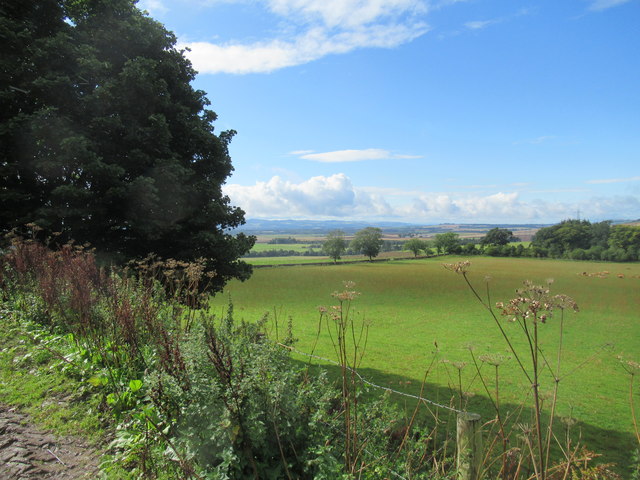
Brandy Den, Angus (Valley) is a picturesque valley located in the county of Angus, Scotland. Situated amidst rolling hills and lush greenery, it offers a scenic and tranquil setting that attracts visitors from near and far.

The valley is known for its abundance of brandy bushes, which grow in profusion throughout the area. These bushes produce small, round berries that are used to make brandy, a popular alcoholic beverage. The valley's name, Brandy Den, is derived from the presence of these bushes and the historical significance of brandy production in the region.

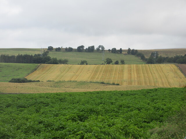
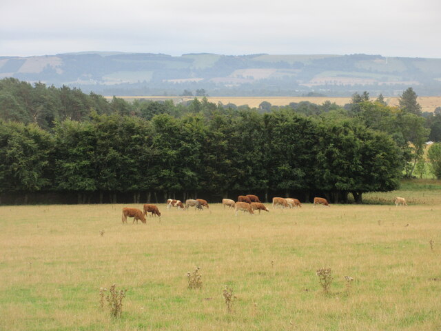
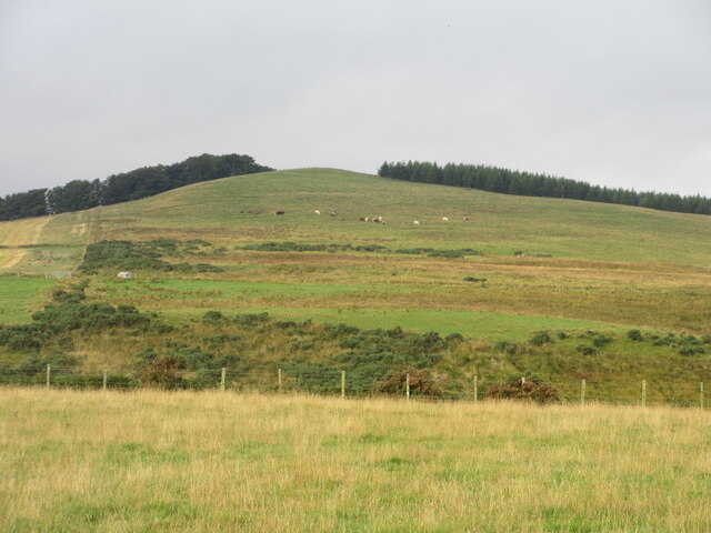
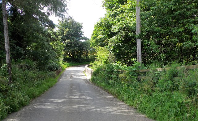
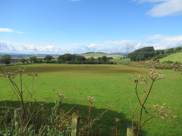
The landscape of Brandy Den is characterized by gently sloping hills, dotted with patches of heather and wildflowers. A meandering river runs through the valley, adding to its natural charm and providing a habitat for various wildlife species. Visitors often enjoy leisurely walks along the riverbank, taking in the serene surroundings and appreciating the beauty of nature.

The valley is a haven for outdoor enthusiasts, offering opportunities for hiking, birdwatching, and photography. The trails in Brandy Den provide stunning views of the surrounding countryside, allowing visitors to immerse themselves in the tranquility of the area. Additionally, the valley is home to a diverse range of bird species, making it a popular spot for birdwatchers.

Overall, Brandy Den, Angus (Valley) is a captivating destination that showcases the natural beauty of Scotland. Its rich flora and fauna, coupled with its peaceful ambiance, make it a must-visit location for those seeking a respite from the hustle and bustle of everyday life.

If you have any feedback on the listing, please let us know in the comments section below.
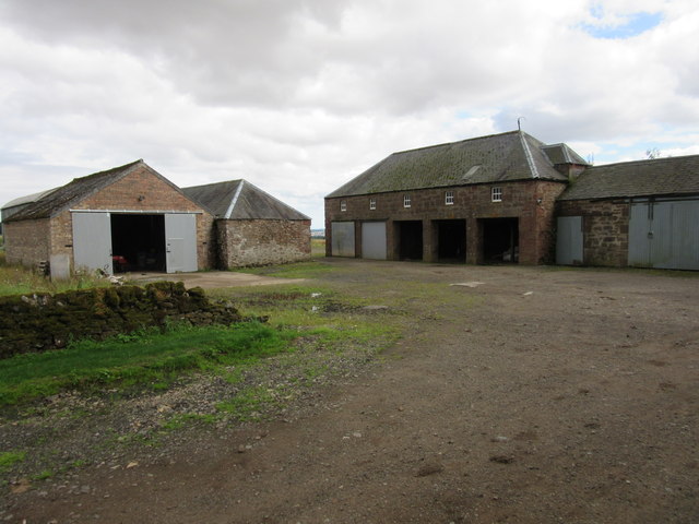
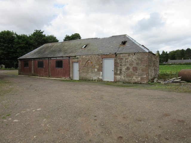
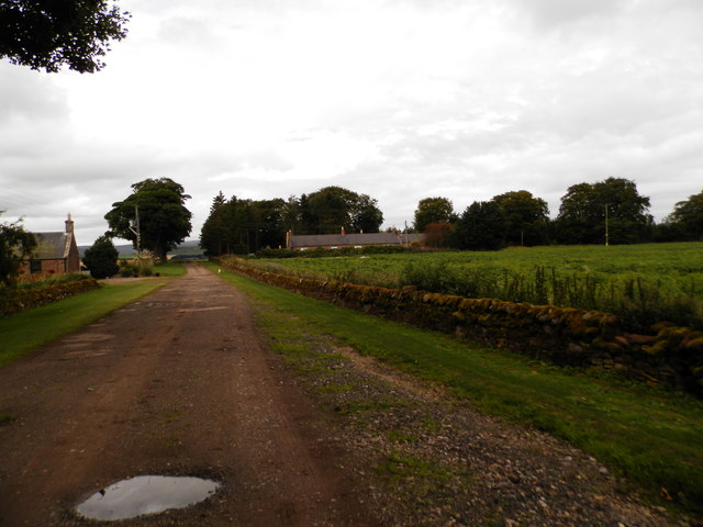
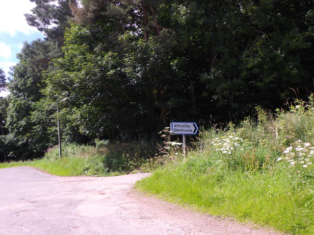
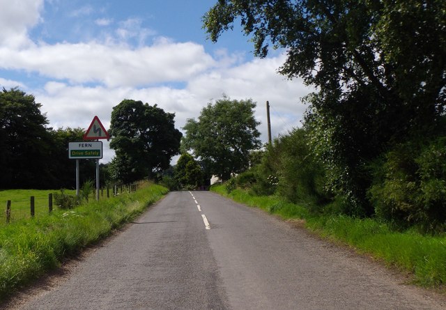
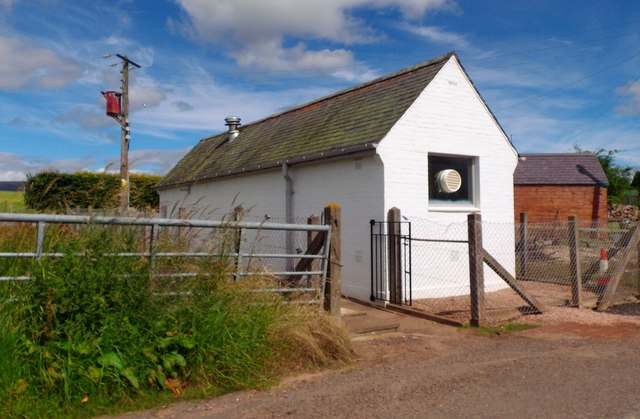
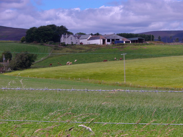
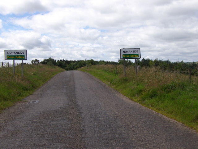
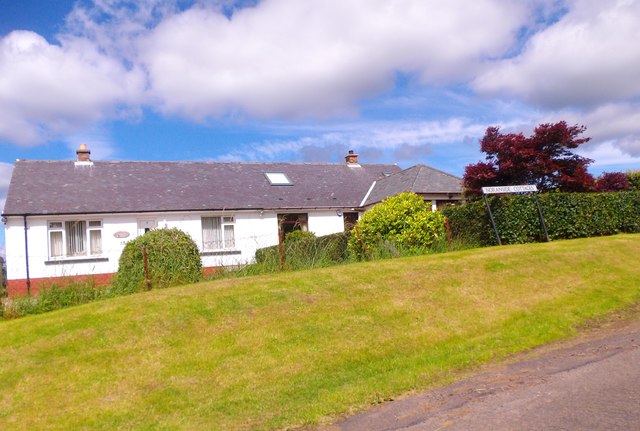
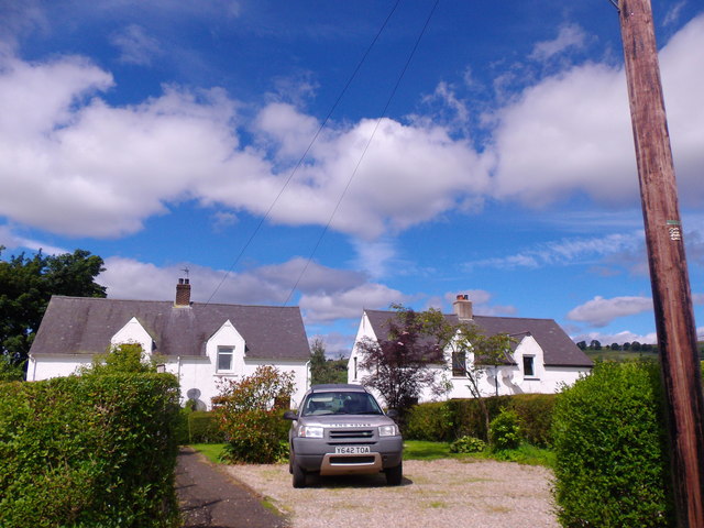
Brandy Den Images

Images are sourced within 2km of 56.738417/-2.853998 or Grid Reference NO4761. Thanks to Geograph Open Source API. All images are credited.

Field of bales at Deuchar Harvested field with bales, viewed from the access road to Deuchar.
Field of bales at Deuchar
Harvested field with bales, viewed from the access road to Deuchar.
Cattle near Noranside Cattle grazing on pastureland near Noranside.
Cattle near Noranside
Cattle grazing on pastureland near Noranside.
Fern Parish Church Looking north in the churchyard to Fern Parish Church.
Fern Parish Church
Looking north in the churchyard to Fern Parish Church.
Cattle feeding A distant view of cattle at feeders from the Afflochie road.
Cattle feeding
A distant view of cattle at feeders from the Afflochie road.
Eastern flank of Well Hill Looking up the eastern side of Well Hill, dotted with cattle.
Eastern flank of Well Hill
Looking up the eastern side of Well Hill, dotted with cattle.
Farm buildings, Vayne
Farm building, Vayne The farm buildings at Vayne belong to the nineteenth century, but much of the stone that was used for their construction was plundered from the nearby Vayne Castle (16th century).  Evidence for this can be seen in the carved panel, or tympanum, set between the two grey doors in this picture.  The image below contains further detail:-

<a title="https://www.geograph.org.uk/photo/766688" href="https://www.geograph.org.uk/photo/766688">Link</a>
Farm building, Vayne
The farm buildings at Vayne belong to the nineteenth century, but much of the stone that was used for their construction was plundered from the nearby Vayne Castle (16th century). Evidence for this can be seen in the carved panel, or tympanum, set between the two grey doors in this picture. The image below contains further detail:- Link
Farm road at Vayne Farm
Afflochie/Glentrusta Junction Off minor road at Balquharn.
Afflochie/Glentrusta Junction
Off minor road at Balquharn.
Entry to Fern On minor road from NE.
Entry to Fern
On minor road from NE.
Fern telephone exchange By minor road; at west end of village.
Fern telephone exchange
By minor road; at west end of village.
View NNW towards Balquhadly From the minor road west out of Fern.
View NNW towards Balquhadly
From the minor road west out of Fern.
Approach to Noranside On minor road from Fern.
Approach to Noranside
On minor road from Fern.
Noranside Cottages Council Houses by minor road from Fern.
Noranside Cottages
Council Houses by minor road from Fern.
Courtford Park, Noranside
Courtford Bridge Minor road over Noran Water.
Courtford Bridge
Minor road over Noran Water.
Beautiful farmland south of the Angus hills
View south-west from Deuchar Farm near Brechin
Show me another place!

Brandy Den is located at Grid Ref: NO4761 (Lat: 56.738417, Lng: -2.853998)

Unitary Authority: Angus

Police Authority: Tayside

What 3 Words

///overtones.sardine.bead. Near Forfar, Angus

Related Wikis

Noranside

Noranside is a hamlet in Angus, Scotland, located at 56° 44' 0" North, 2° 52' 0" West,. The prison HMP Noranside was operated there from 1966 to 2011....

Tannadice railway station

Tannadice railway station served the village of Tannadice, Angus, Scotland, from 1895 to 1952 on the Forfar and Brechin Railway. == History == The station...

Tannadice, Angus

Tannadice is a village in Angus, Scotland that lies on the River South Esk and is 4 miles north of Forfar. The estate of Tannadice was formerly owned by...

Auchnacree

Auchnacree is an estate in Angus, Scotland, five miles north of Forfar.In 1921 the estate overseer, Mr Frank Rae, discovered what is now called the Auchnacree...

Finavon

Finavon is a small settlement in Angus, Scotland. Its Ordnance Survey grid reference is NO4957. == References ==

Milton of Finavon

Milton of Finavon is a hamlet in Angus, Scotland that lies adjacent to the A90 road on its southern side by the River South Esk. It is approximately 5...

Justinhaugh railway station

Justinhaugh railway station served the hamlet of Justinhaugh, Angus, Scotland, from 1895 to 1952 on the Forfar and Brechin Railway. == History == The station...

Oathlaw

Oathlaw is a village in Angus, Scotland, 4 miles north of Forfar. == References ==

Nearby Amenities

Located within 500m of 56.738417,-2.853998
Farmerton
Place: isolated_dwelling
Lat/Long: 56.7415588/-2.8481394
Brandyden of Farmerton
Place: isolated_dwelling
Lat/Long: 56.7394773/-2.8510255
Brandy Den
Place: locality
Lat/Long: 56.7384921/-2.8538245
Power: pole
Lat/Long: 56.7395661/-2.8615321
Power: pole
Lat/Long: 56.7397729/-2.8606413
Power: pole
Lat/Long: 56.7399797/-2.8597435
Power: pole
Lat/Long: 56.7401839/-2.8588409
Power: pole
Lat/Long: 56.7403791/-2.8579807
Power: pole
Lat/Long: 56.7404579/-2.857632
Power: pole
Lat/Long: 56.7405988/-2.8570098
Power: pole
Lat/Long: 56.7408172/-2.8560342
Power: pole
Lat/Long: 56.7410498/-2.855042
Power: pole
Lat/Long: 56.741254/-2.8541112
Power: pole
Lat/Long: 56.7414996/-2.8530201
Power: pole
Lat/Long: 56.7417193/-2.8520727
Power: pole
Lat/Long: 56.7419351/-2.8511018
Power: pole
Lat/Long: 56.742138/-2.8501662
Power: pole
Lat/Long: 56.7425891/-2.8511159
Power: pole
Lat/Long: 56.7416728/-2.8491435
Power: pole
Lat/Long: 56.7412295/-2.8481678
Power: pole
Lat/Long: 56.7407914/-2.8472393
The data included in this document is from www.openstreetmap.org. The data is made available under ODbL.

Have you been to Brandy Den?

Leave your review of Brandy Den below (or comments, questions and feedback).