Capel Cleuch
Valley in Roxburghshire
Scotland
Capel Cleuch
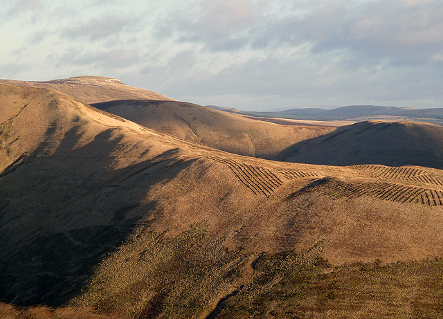
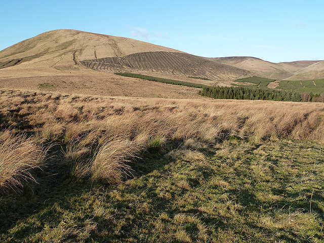
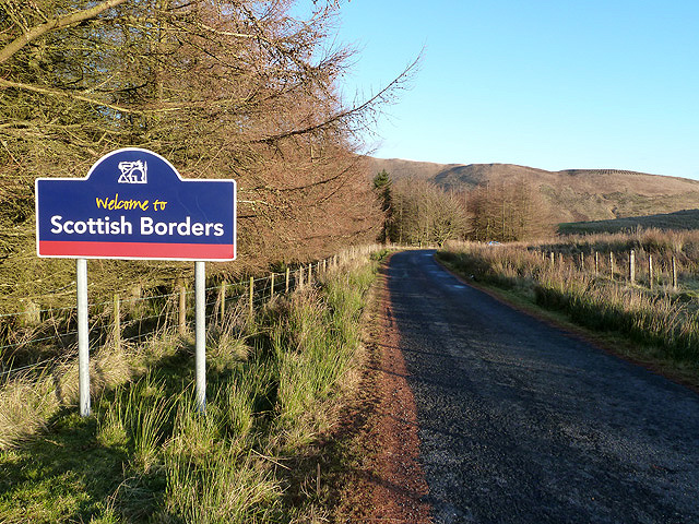
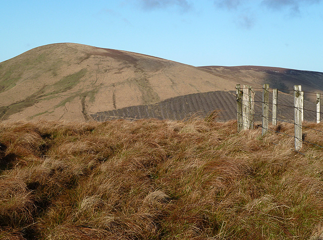
Capel Cleuch is a picturesque valley located in the county of Roxburghshire, in the Scottish Borders region of Scotland. Situated in the southern part of the country, the valley is known for its stunning natural beauty and rich history.
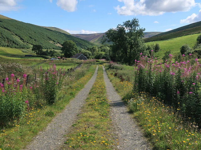
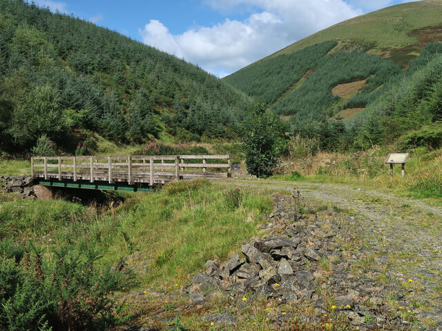
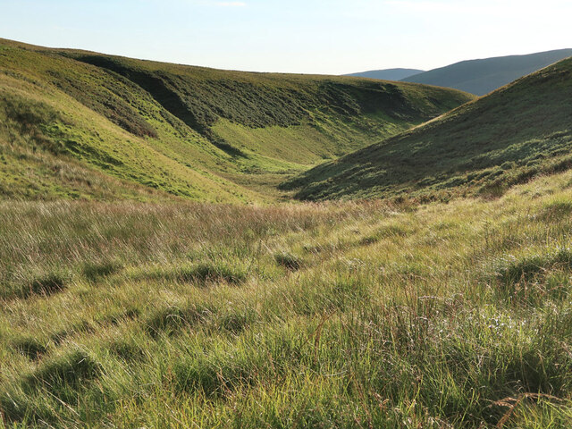
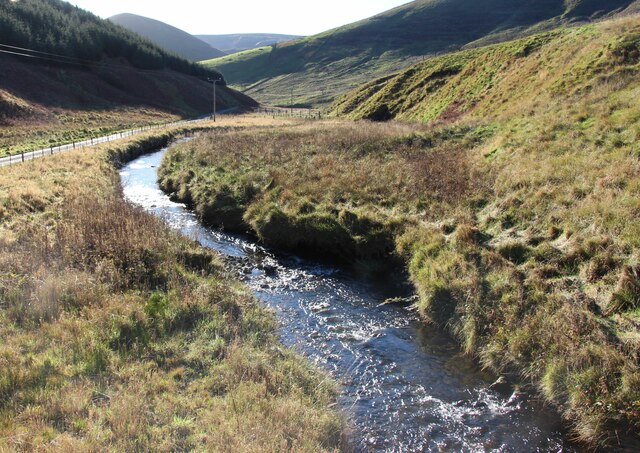
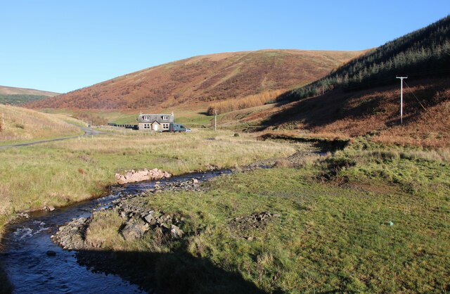
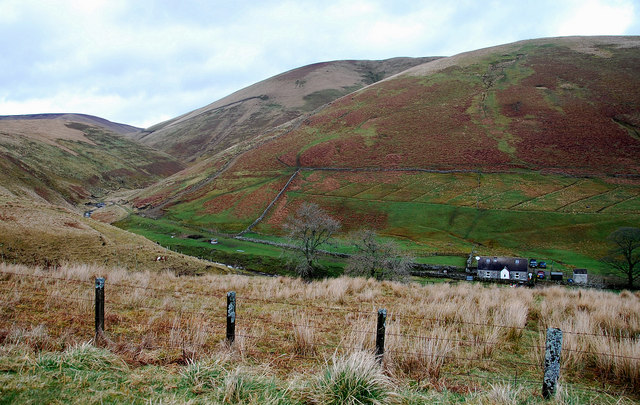
The valley is nestled between rolling hills and is traversed by the Capel Cleuch Burn, a small river that meanders through the landscape. Lush green meadows, dotted with sheep, stretch alongside the river, creating a serene and idyllic setting. The valley is also home to a diverse range of flora and fauna, including various species of birds, wildflowers, and mosses.
Historically, Capel Cleuch has been inhabited for centuries, with evidence of Bronze Age settlements in the area. The valley has also played a significant role in the region's agricultural heritage, with farming being a prominent occupation for the local community.
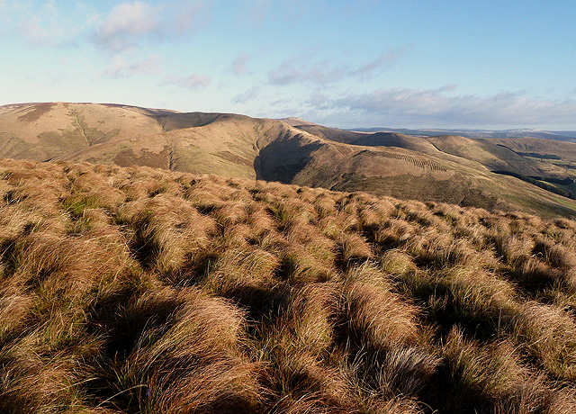
For outdoor enthusiasts, Capel Cleuch offers ample opportunities for walking, hiking, and exploring the surrounding countryside. There are several walking trails that wind through the valley, providing breathtaking views of the landscape and the chance to encounter wildlife.
In addition to its natural beauty, Capel Cleuch is also known for its historical landmarks. Nearby attractions include the ruins of Cessford Castle, an ancient fortress, and the Capelcleuch Tower, a 16th-century tower house that stands as a testament to the valley's past.
Overall, Capel Cleuch is a hidden gem in the Scottish Borders, offering visitors a chance to experience the tranquility of nature and immerse themselves in the region's rich history.
If you have any feedback on the listing, please let us know in the comments section below.
Capel Cleuch Images
Images are sourced within 2km of 55.276736/-2.8697536 or Grid Reference NY4498. Thanks to Geograph Open Source API. All images are credited.


Capel Cleuch is located at Grid Ref: NY4498 (Lat: 55.276736, Lng: -2.8697536)
Unitary Authority: The Scottish Borders
Police Authority: The Lothians and Scottish Borders
What 3 Words
///pepper.outwards.painted. Near Teviothead, Scottish Borders
Nearby Locations
Related Wikis

Cauldcleuch Head
Cauldcleuch Head is a hill in an unnamed range of Roxburghshire hills north of Langholm, part of the Southern Uplands of Scotland. The highest hill in...

Dinley
Dinley is a hamlet in the Scottish Borders through which Hermitage Water flows. == Etymology == The first element, din, seems to be the Cumbric word for...

Hermitage Castle
Hermitage Castle is a semi-ruined castle in the border region of Scotland. It is under the care of Historic Scotland. The castle has a reputation, both...
Hermitage, Scottish Borders
Hermitage is a village near Newcastleton, on the B6399, in the Scottish Borders area of Scotland. == See also == List of places in the Scottish Borders...

Maiden Paps (Hawick)
The Maiden Paps are twin hills near Hawick, in the Scottish Borders of the south east of Scotland, so named because they have the shape of human breasts...

Ninestane Rig
Ninestane Rig (English: Nine Stone Ridge) is a small stone circle in Scotland near the English border. Located in Roxburghshire, near to Hermitage Castle...

Hermitage Water
The Hermitage Water is a river in Liddesdale, in the Scottish Borders area of Scotland. Among its many feeder burns are Braidley Burn, Dinley Burn, Gorrenberry...

Unthank, Dumfries and Galloway
Unthank is a village in Dumfries and Galloway, Scotland. == References == The geographic coordinates are from the Ordnance Survey.
Nearby Amenities
Located within 500m of 55.276736,-2.8697536Have you been to Capel Cleuch?
Leave your review of Capel Cleuch below (or comments, questions and feedback).