Corbie Den
Valley in Angus
Scotland
Corbie Den
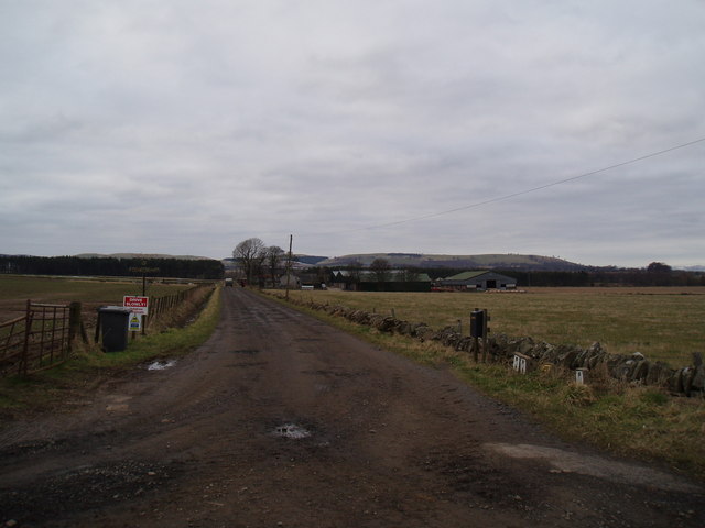
Corbie Den is a picturesque valley located in the Angus region of Scotland. Nestled amidst rolling hills and lush greenery, this natural haven offers a tranquil escape from the hustle and bustle of everyday life. The valley is known for its breathtaking beauty and serene atmosphere, making it a popular destination for nature lovers and outdoor enthusiasts.
The main feature of Corbie Den is its stunning woodland, which is home to a diverse array of flora and fauna. The dense forest is dominated by tall oak and beech trees, creating a captivating canopy that filters sunlight and casts dappled shadows on the forest floor. Walking trails wind their way through the woodlands, offering visitors the chance to immerse themselves in nature and explore the valley's hidden gems.
One of the highlights of Corbie Den is the Corbie Den Waterfall, which cascades down a series of rocky steps into a crystal-clear pool below. This picturesque waterfall provides a captivating sight and a soothing soundtrack, creating a truly magical atmosphere. It is a popular spot for photographers and nature enthusiasts looking to capture the beauty of the area.
Corbie Den is also home to a variety of wildlife, including red squirrels, roe deer, and a plethora of bird species. Visitors may catch glimpses of these creatures as they explore the valley, adding to the enchanting experience.
Overall, Corbie Den is a natural gem in the heart of Angus, offering a haven of tranquility and natural beauty for those seeking an escape into nature.
If you have any feedback on the listing, please let us know in the comments section below.
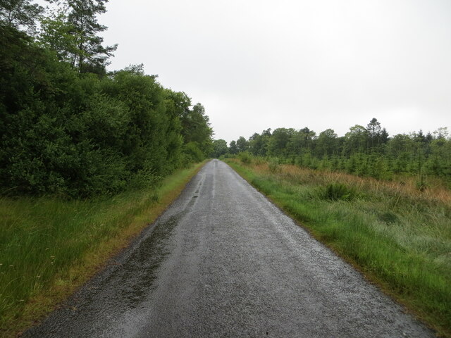
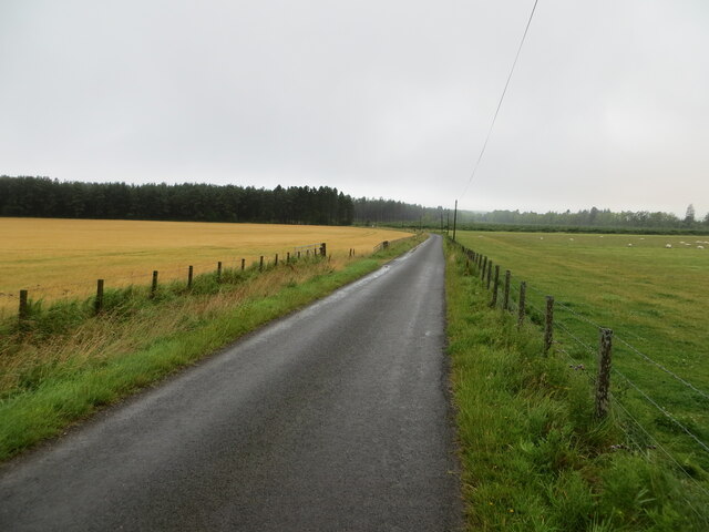
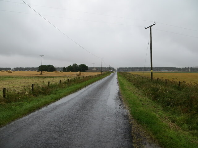
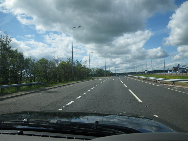
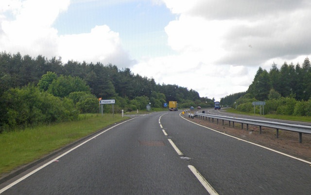
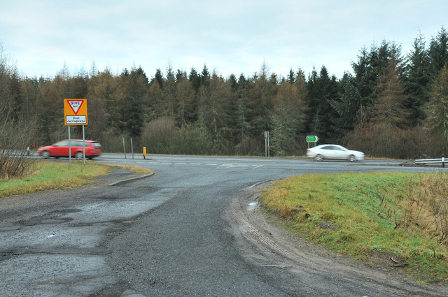
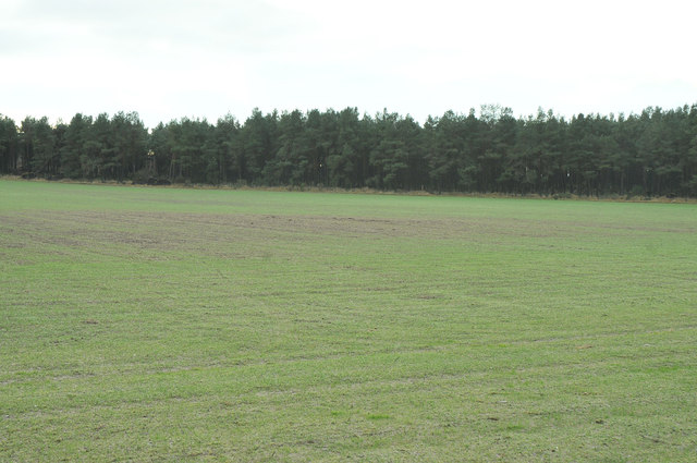
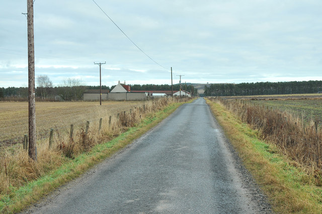
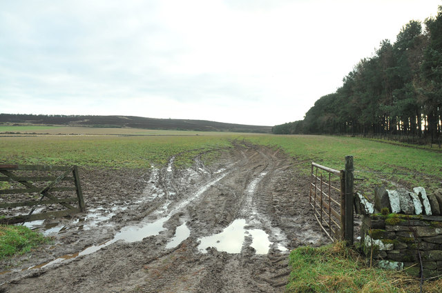
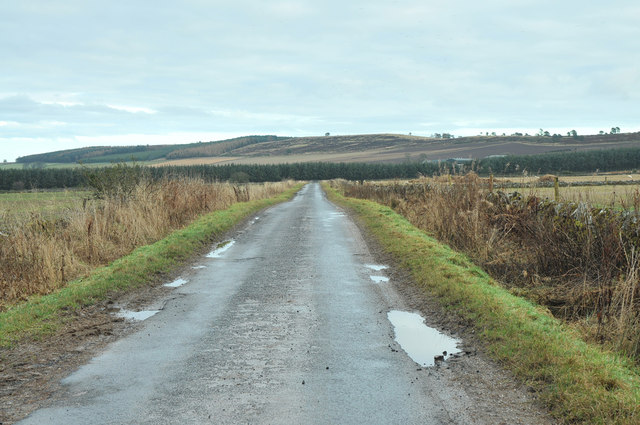
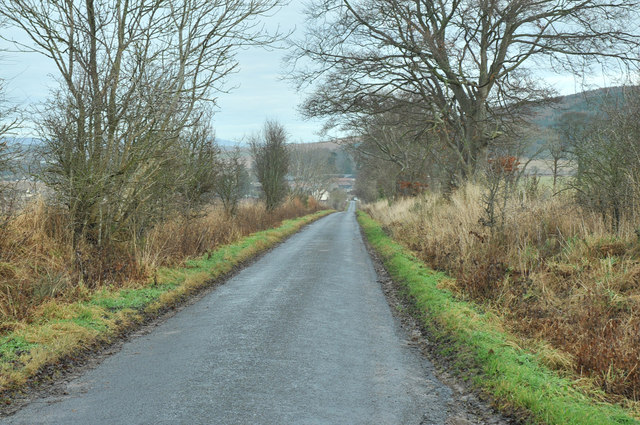
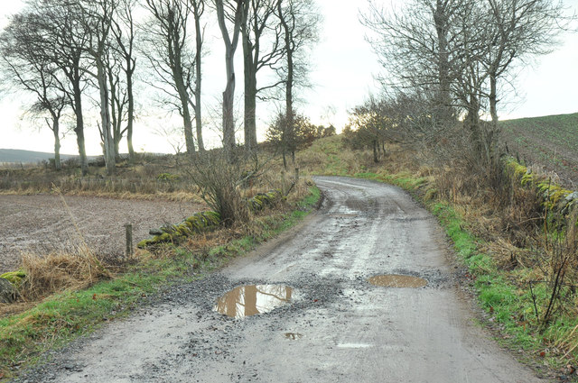
Corbie Den Images
Images are sourced within 2km of 56.566053/-2.9089356 or Grid Reference NO4441. Thanks to Geograph Open Source API. All images are credited.


Corbie Den is located at Grid Ref: NO4441 (Lat: 56.566053, Lng: -2.9089356)
Unitary Authority: Angus
Police Authority: Tayside
What 3 Words
///sloping.quirky.duplicity. Near Forfar, Angus
Nearby Locations
Related Wikis

Gallowfauld
Gallowfauld is a hamlet in the county of Angus, Scotland. It lies 3.8 miles (6.1 km) south of Inverarity, Angus, Scotland. == References ==

Inverarity
Inverarity is a village in Angus, Scotland, UK, on the A90, 6 miles from Forfar, and 7 miles from Dundee. The nearest villages are Gateside, Invereighty...

Gateside, Angus
Gateside is a hamlet in the county of Angus, Scotland. It lies 7 miles south of Forfar on the A90 road. == References ==

Kincaldrum
Kincaldrum is a hamlet in the county of Angus, Scotland. It lies 1 km northwest of Gateside. Kincaldrum House lies in ruins. A corn mill once stood near...
Whigstreet
Whigstreet is a village in the county of Angus, Scotland, between the towns of Forfar and Carnoustie. Nearby lie the remains of a temporary Roman marching...
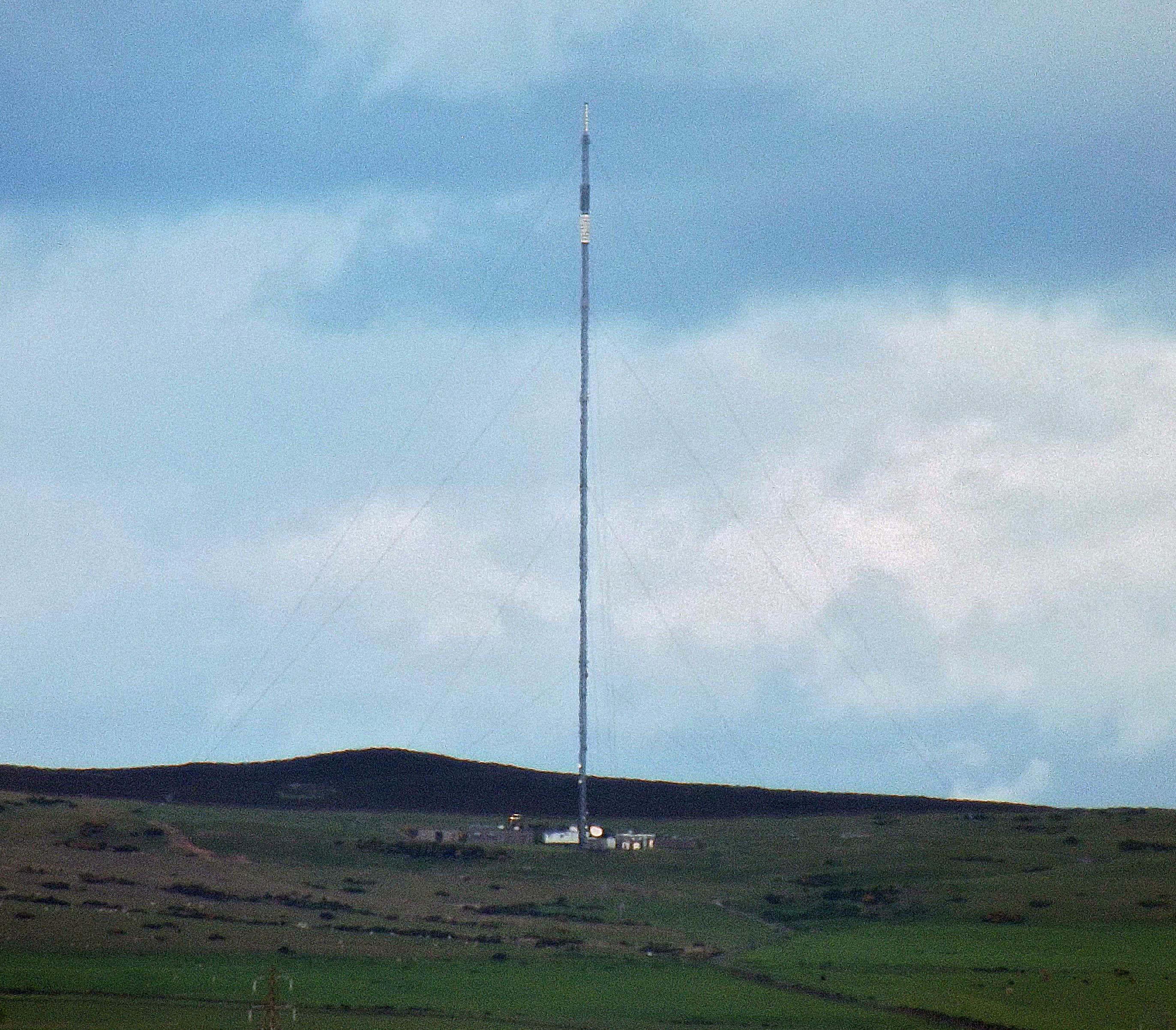
Angus transmitting station
The Angus transmitting station is a broadcasting and telecommunications facility, situated approximately five miles due north of Dundee, between the villages...

Tealing
Tealing (Scottish Gaelic: Tèalainn) is a village in Angus in eastern Scotland, nestled at the foot of the Sidlaw Hills. It is just 6 miles (9.7 km) north...

Kinnettles
Kinnettles is a civil parish in Angus, a council area in the northeast of Scotland. The Parish is bounded on the north and east by Forfar, on the southeast...
Nearby Amenities
Located within 500m of 56.566053,-2.9089356Have you been to Corbie Den?
Leave your review of Corbie Den below (or comments, questions and feedback).