Bannerdale
Valley in Westmorland Eden
England
Bannerdale

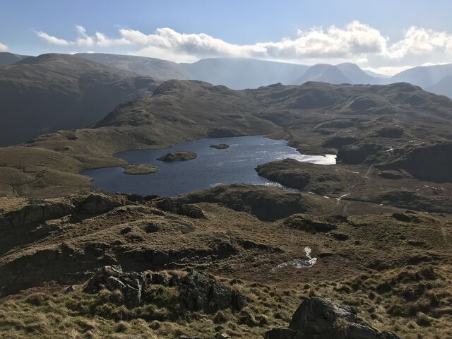
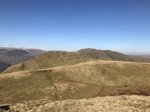
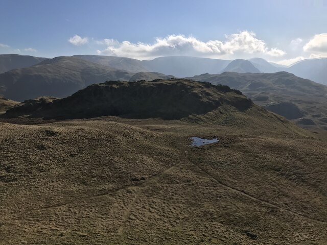
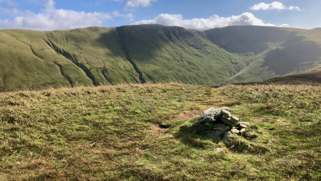
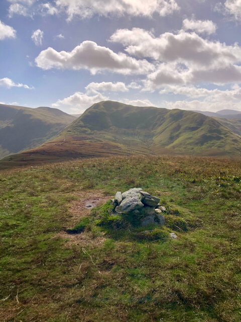
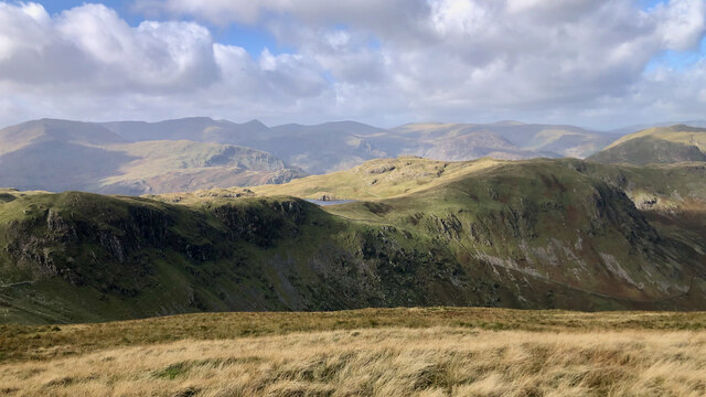
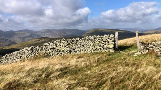
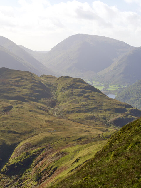
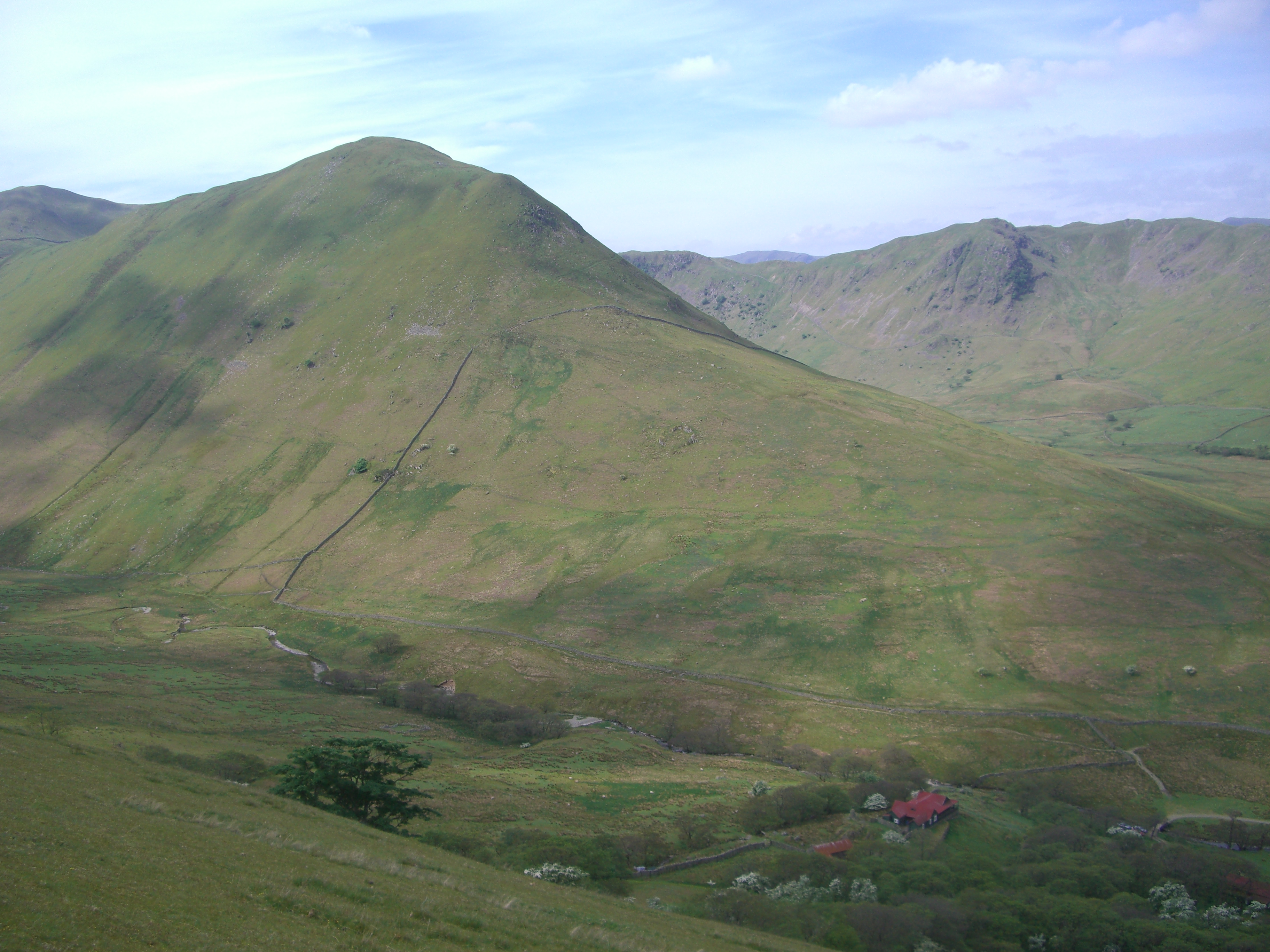
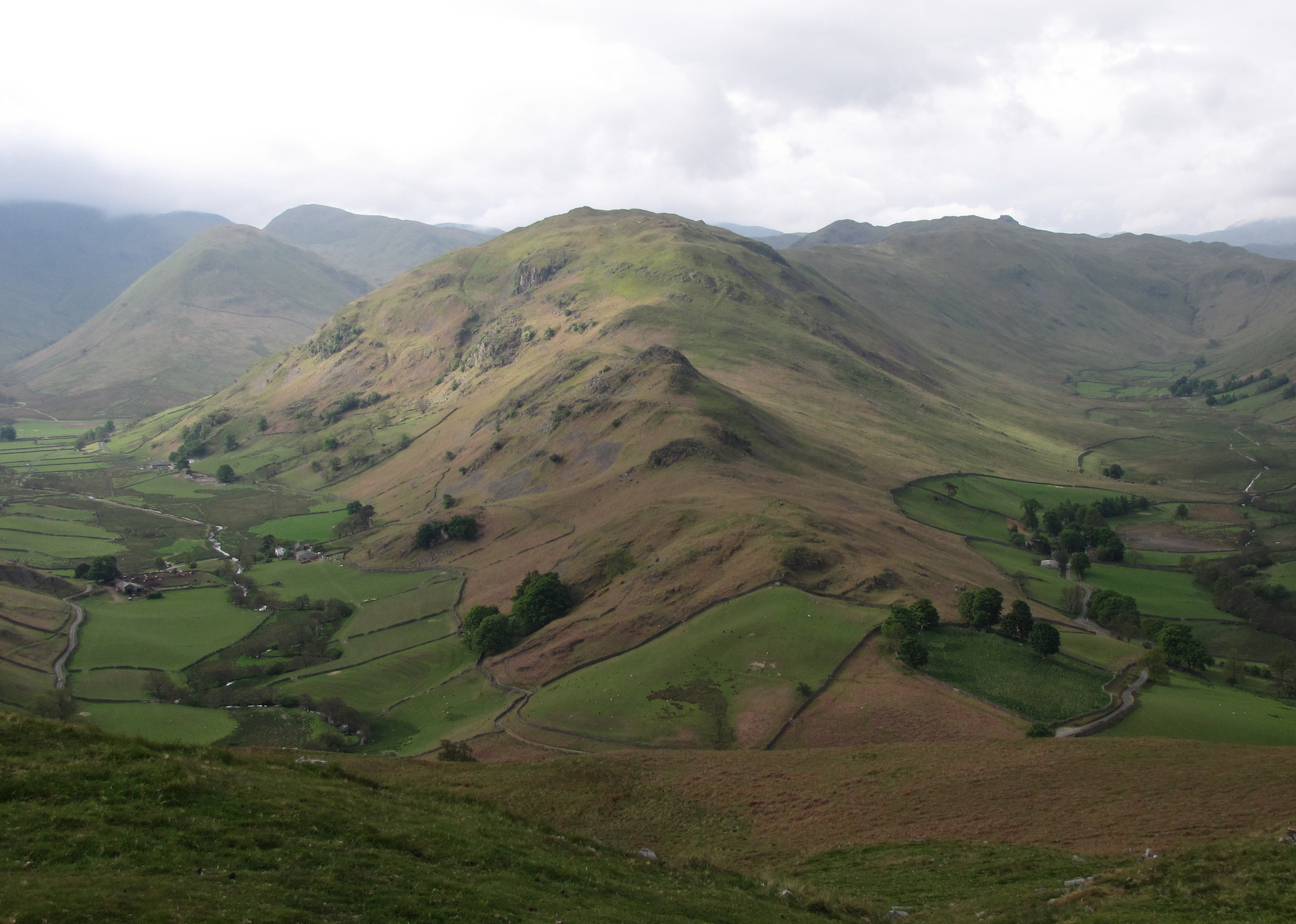
Bannerdale, Westmorland (Valley), also known as Bannerdale Crags, is a picturesque valley located in the county of Cumbria, England. Situated in the Lake District National Park, this valley is renowned for its stunning natural beauty, offering visitors a tranquil and idyllic escape from the hustle and bustle of daily life.
Surrounded by rolling hills and majestic mountains, Bannerdale boasts breathtaking panoramic views that attract hikers, nature enthusiasts, and photographers alike. The valley is particularly popular among walkers, as it provides access to various hiking trails, including the famous ascent to the summit of Blencathra, a prominent mountain in the region.
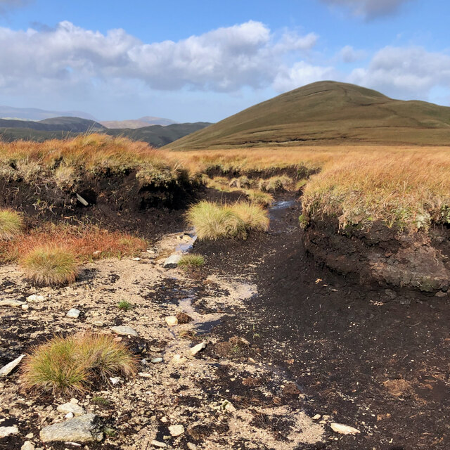
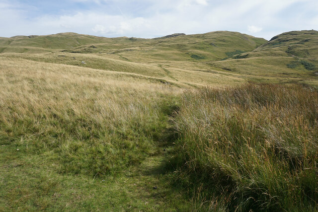
The valley is characterized by its lush green meadows, scattered with vibrant wildflowers, and crossed by babbling streams. It is also home to a diverse range of flora and fauna, including rare and protected species such as red squirrels and wild orchids. Visitors can often spot these creatures while exploring the valley's well-preserved woodlands and meandering paths.
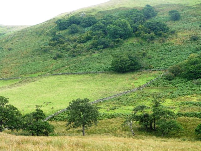
Bannerdale is also steeped in history, with evidence of human settlements dating back to ancient times. The valley's rich heritage can be explored through its numerous archaeological sites, including stone circles and burial mounds.
In addition to its natural and historical attractions, the valley offers a range of amenities for visitors, such as campsites, bed and breakfast accommodations, and cozy pubs serving local cuisine. Overall, Bannerdale, Westmorland (Valley) is a true gem of the Lake District, offering a unique and unforgettable experience for those seeking solace in nature.
If you have any feedback on the listing, please let us know in the comments section below.
Bannerdale Images
Images are sourced within 2km of 54.533396/-2.8846708 or Grid Reference NY4215. Thanks to Geograph Open Source API. All images are credited.
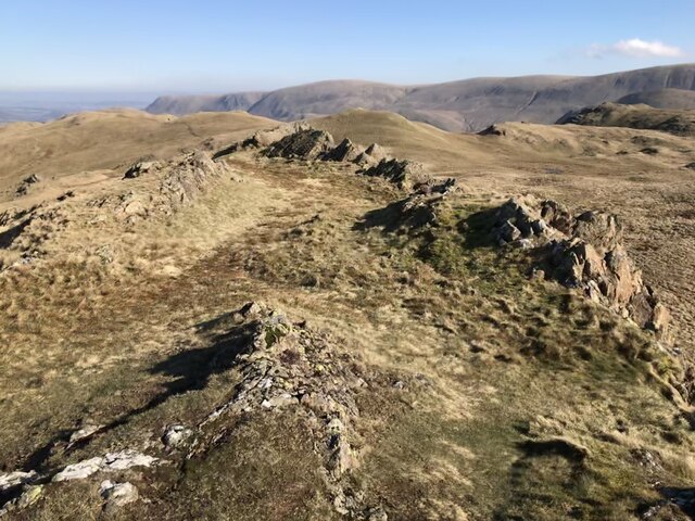
![Romano-British Enclosed Stone Hut Circle Settlement "Settlement site which covers an area of ca 2 acres with the usual arrangement of circular huts and enclosures. One irregular enclosure has well-preserved orthostats of unusual size, many of which stand 3 ft above the ground. The principal enclosure is sub-divided into 2 main divisions, each with a clearly marked entrance on the E, whilst the walls 7-8 ft in thickness are considerably wider than the walls of the village. The part of the village which lies S of the beck shows only traces of a few huts. It is suggested that there may have been an enlargement or rebuilding of the village on more than one occasion (S1048, S1361). See the RCHM 1936 Westmorland (S1389 p. 166-167). The monument is a Romano-British enclosed stone hut circle settlement located in the remote valley of Bannerdale, on a sloping shelf either side of Heck Beck which runs through the site. It includes an enclosure wall 0.9m - 1.4m wide and 0.6m high which is visible at the south-west, north and north-east sides of the settlement only. A mound of large outcropping rocks is incorporated into the wall in the north-west side adjacent to which is a re-entrant or inwardly pointing entrance. South of Heck Beck, and within the enclosure wall, are 3 hut circles having internal diameters of between 1.4 - 7.3m. Immediately north of the beck is an area of irregular small enclosures, with a well-defined entrance of flat stones through the enclosure wall, within which are 5 hut circles with internal diameters between 1.5-6.4m. At the north-eastern end of the site 3 sub- rectangular enclosures, two of which have entrances defined by large, flat stones, have been constructed against the internal side of the enclosure wall. Close by are 2 hut circles with internal diameters of 6.2 and 4.5m. Dominating the north-eastern end of the settlement is a well preserved irregular enclosure with walls up to 7.3m thick constructed of stones standing up to 0.9m high. This enclosure is sub-divided into 2 main parts, each with clearly marked entrances on the east, and is thought to indicate a rebuilding and/or enlargement of the settlement. A modern drystone wall running across the monument is excluded from the scheduling although the ground beneath it is included. The monument is a good example of a R-B enclosed stone hut circle settlement which exhibits several phases of occupation and activity. Its earthworks survive well, preserve considerable detail of the layout of the site, and will facilitate further study of Romano-British settlement patterns in the area (S905, S904)."
‘Heritage Gateway - Results’. 2012. Heritagegateway.org.uk &lt;<span class="nowrap"><a title="https://www.heritagegateway.org.uk/Gateway/Results_Single.aspx?uid=2886004&amp;resourceID=801" rel="nofollow ugc noopener" href="https://www.heritagegateway.org.uk/Gateway/Results_Single.aspx?uid=2886004&amp;resourceID=801">Link</a><img style="margin-left:2px;" alt="External link" title="External link - shift click to open in new window" src="https://s1.geograph.org.uk/img/external.png" width="10" height="10"/></span> &gt; [accessed 15 October 2022]](https://s2.geograph.org.uk/geophotos/07/31/14/7311498_e48d91d1.jpg)


Bannerdale is located at Grid Ref: NY4215 (Lat: 54.533396, Lng: -2.8846708)
Administrative County: Cumbria
District: Eden
Police Authority: Cumbria
What 3 Words
///dine.uses.pulps. Near Ambleside, Cumbria
Nearby Locations
Related Wikis
The Nab
The Nab is a fell in the English Lake District. It has a moderate height of 576 metres (1,890 feet), and lies in the quieter eastern high ground between...
Beda Fell
Beda Fell is a fell in the English Lake District, situated to the south of Ullswater. It divides the valleys of Boredale and Bannerdale within the Martindale...

Angletarn Pikes
Angletarn Pikes is a fell in the English Lake District near the village of Patterdale. Its most notable feature is Angle Tarn from which it derives its...

Angle Tarn (Patterdale)
Angle Tarn is a tarn in Cumbria, England, within the Lake District National Park, about a mile north-east of Hartsop. Located at an altitude of 479 m...
Nearby Amenities
Located within 500m of 54.533396,-2.8846708Have you been to Bannerdale?
Leave your review of Bannerdale below (or comments, questions and feedback).