Boredale
Valley in Westmorland Eden
England
Boredale

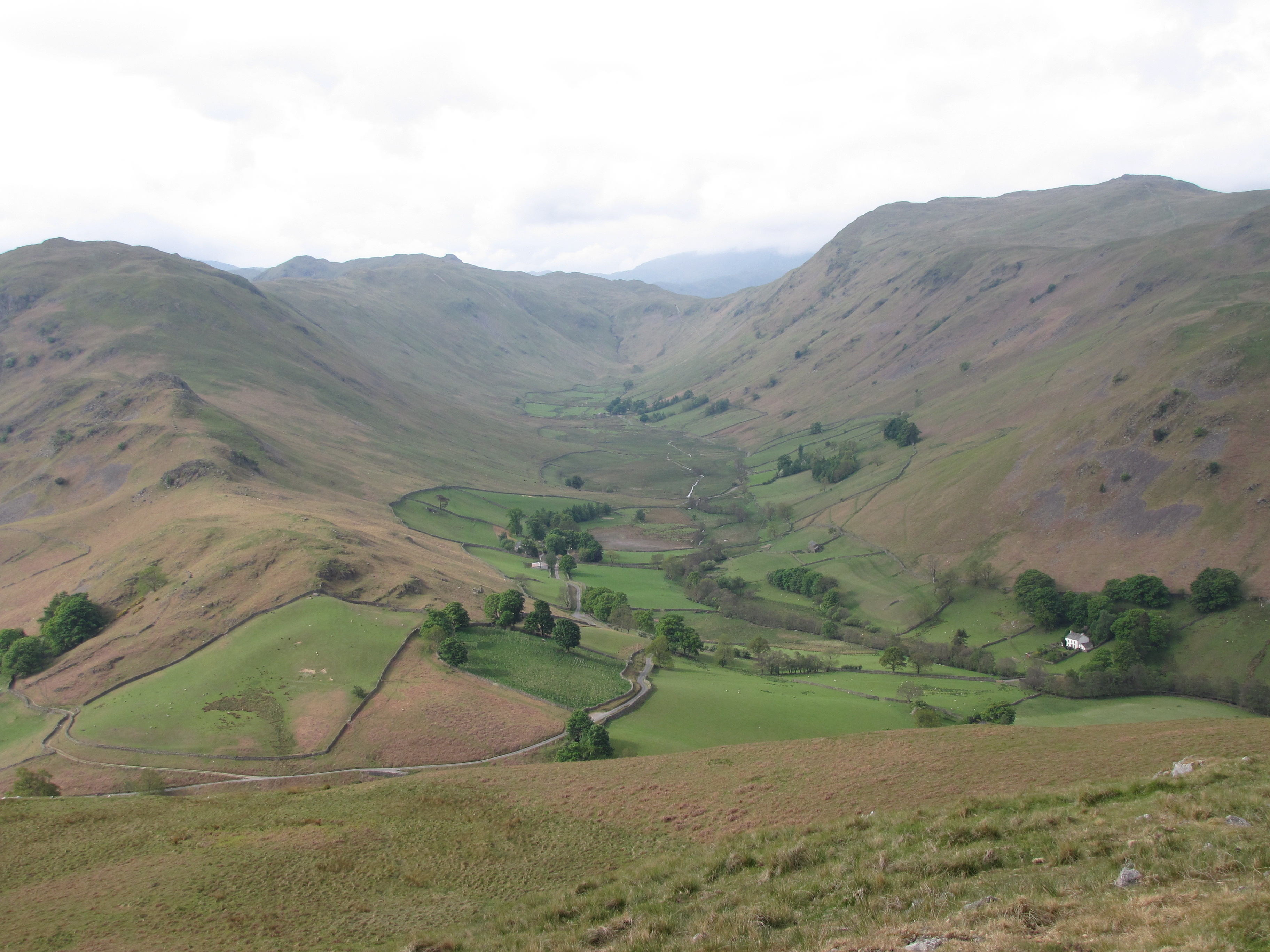
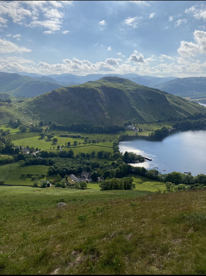
Boredale, located in the county of Westmorland in the northwestern region of England, is a picturesque valley renowned for its natural beauty and tranquil surroundings. Nestled amidst the stunning Lake District National Park, Boredale offers visitors a serene escape from the hustle and bustle of city life.
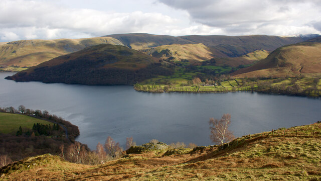
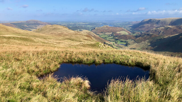
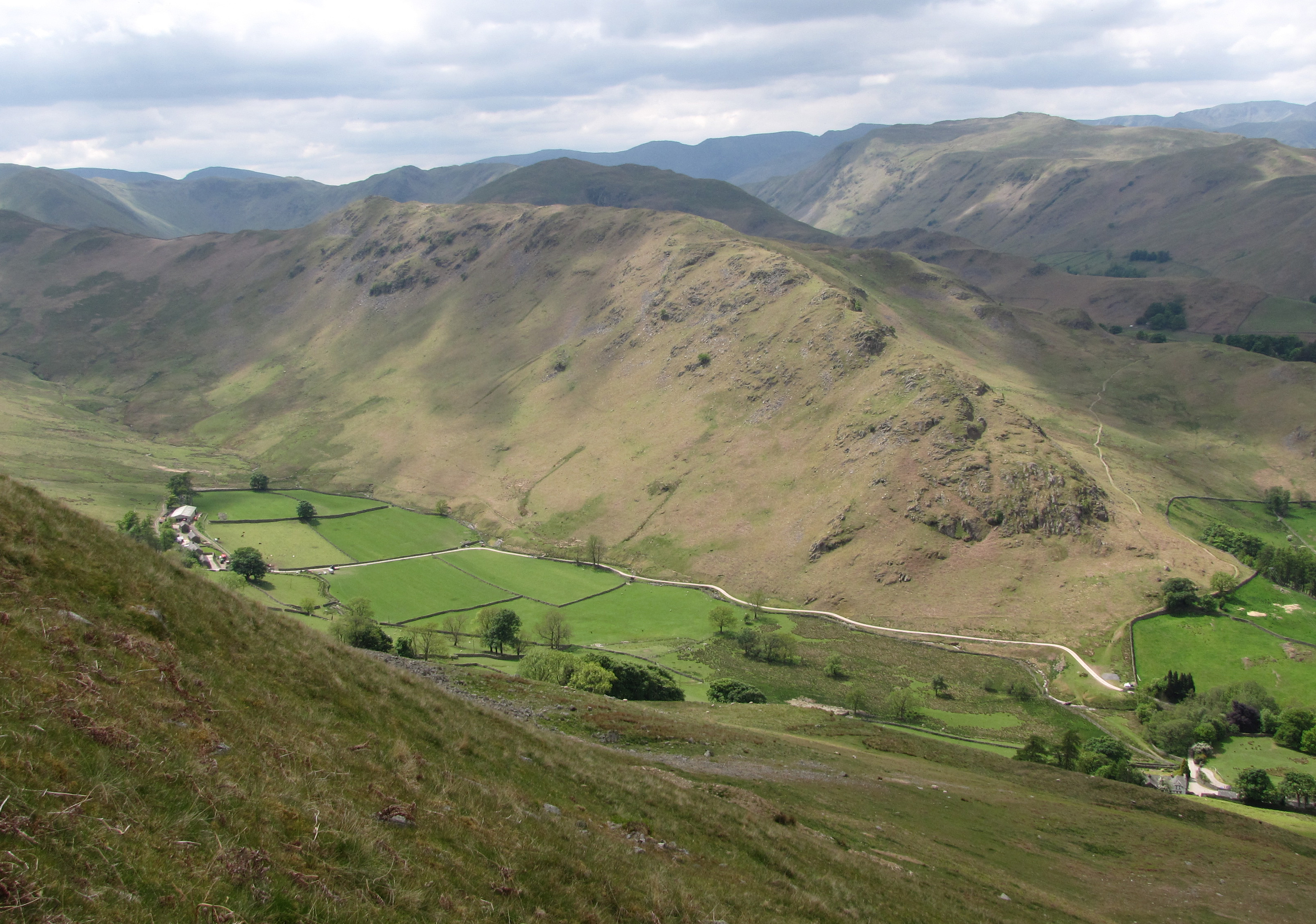
The valley is characterized by its rolling hills, lush green meadows, and crystal-clear streams that flow through its heart. It is surrounded by towering peaks, including Place Fell and Beda Fell, which add to the valley's dramatic landscape. Boredale is also home to a number of small tarns, such as Angletarn and Brotherswater, which dot the landscape and provide a reflective mirror to the surrounding scenery.
The valley is a haven for outdoor enthusiasts, offering an array of activities such as hiking, cycling, and fishing. The renowned Coast to Coast Walk, which traverses the width of northern England, passes through Boredale, providing walkers with breathtaking views of the valley and the surrounding mountains.
Boredale is sparsely populated, with only a handful of houses and farms dotting the landscape. The tranquility of the valley is further enhanced by the absence of major roads or tourist amenities, allowing visitors to truly disconnect from the outside world and immerse themselves in the beauty of nature.
In conclusion, Boredale is a hidden gem in Westmorland, offering visitors a peaceful retreat in the heart of the Lake District National Park. Its stunning natural scenery, outdoor activities, and serene ambiance make it a must-visit destination for those seeking solace and rejuvenation in the lap of nature.
If you have any feedback on the listing, please let us know in the comments section below.
Boredale Images
Images are sourced within 2km of 54.555195/-2.8925336 or Grid Reference NY4218. Thanks to Geograph Open Source API. All images are credited.


![Low Moss Sheepfold For further info see ‘Heritage Gateway - Results’. 2012. Heritagegateway.org.uk <span class="nowrap"><a title="https://www.heritagegateway.org.uk/Gateway/Results_Single.aspx?uid=2886841&amp;resourceID=801" rel="nofollow ugc noopener" href="https://www.heritagegateway.org.uk/Gateway/Results_Single.aspx?uid=2886841&amp;resourceID=801">Link</a><img style="margin-left:2px;" alt="External link" title="External link - shift click to open in new window" src="https://s1.geograph.org.uk/img/external.png" width="10" height="10"/></span> [accessed 12 October 2022]](https://s2.geograph.org.uk/geophotos/07/30/98/7309854_3fd07f8b.jpg)

Boredale is located at Grid Ref: NY4218 (Lat: 54.555195, Lng: -2.8925336)
Administrative County: Cumbria
District: Eden
Police Authority: Cumbria
What 3 Words
///distracts.limits.indulgent. Near Shap, Cumbria
Nearby Locations
Related Wikis
Boredale
Boredale sometimes known as Boardale, is a valley within Lake District National Park, in Cumbria, England. The valley is close to the eastern shore of...

Martindale, Cumbria
Martindale is a valley, village and civil parish in Cumbria, England, situated within the Lake District National Park between the lakes of Ullswater and...
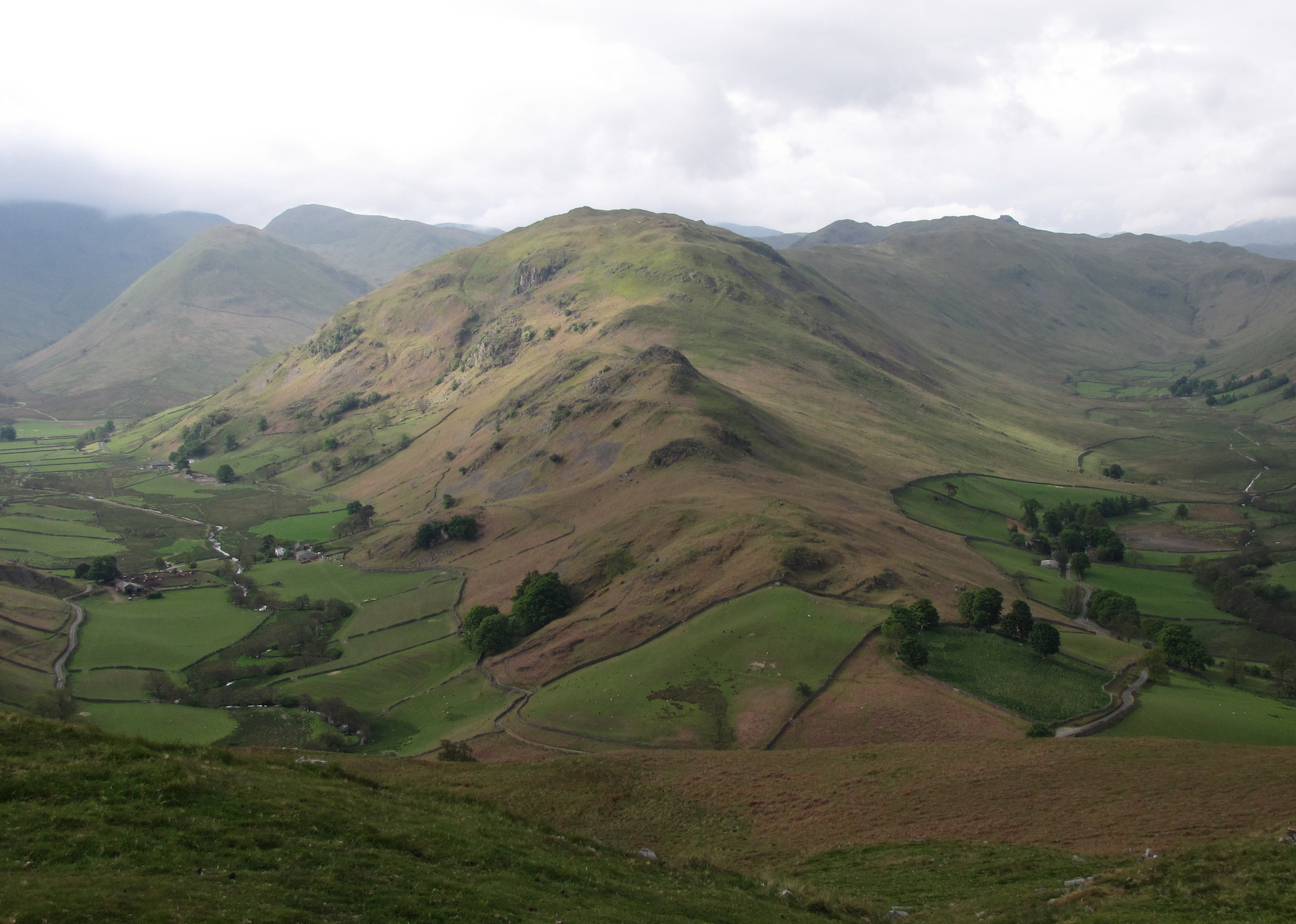
Beda Fell
Beda Fell is a fell in the English Lake District, situated to the south of Ullswater. It divides the valleys of Boredale and Bannerdale within the Martindale...
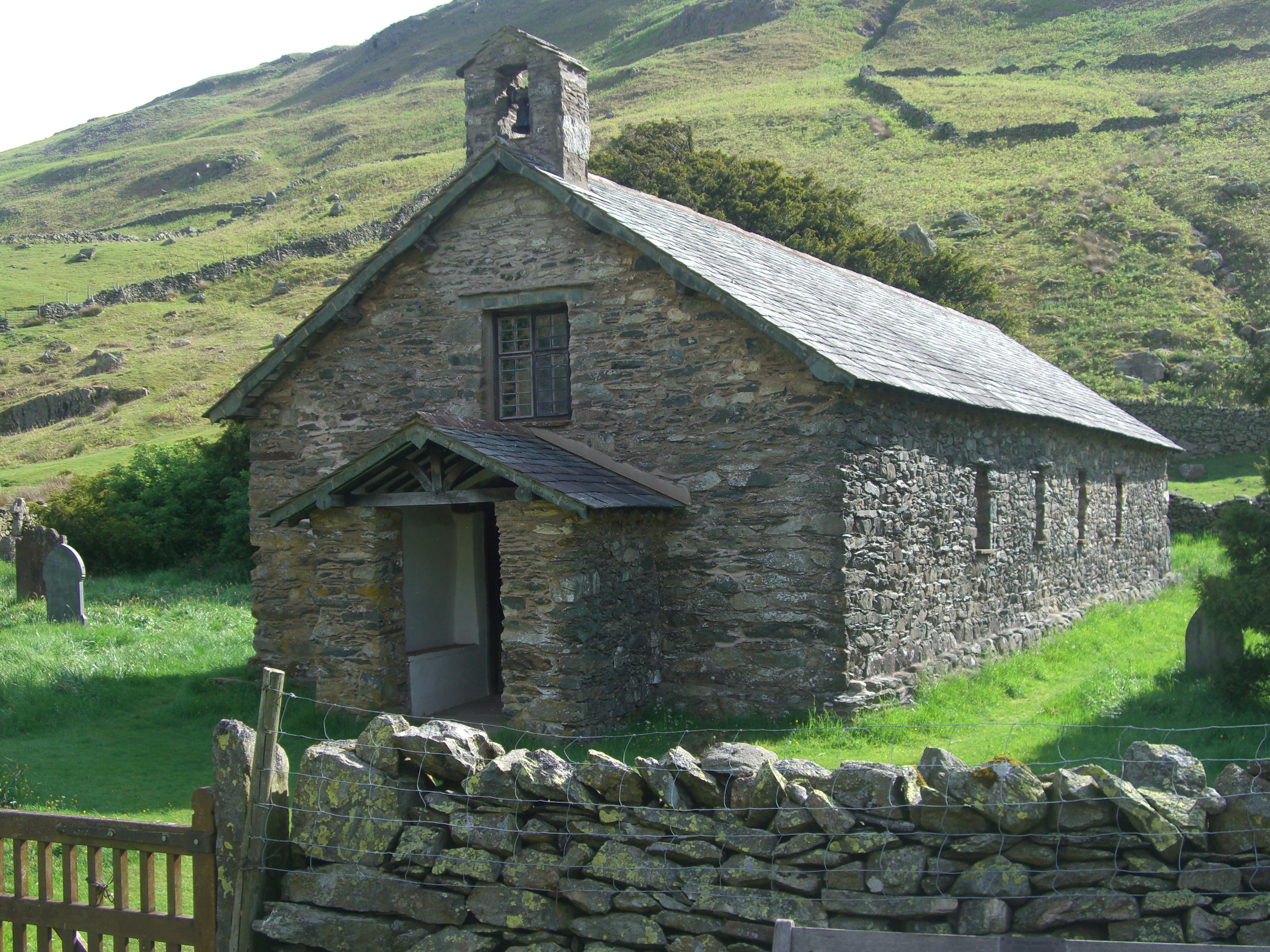
St Martin's Church, Martindale
St Martin's Church, Martindale is located in the valley of Martindale in Cumbria, England. It is often referred to as the "Old Church" to avoid confusion...
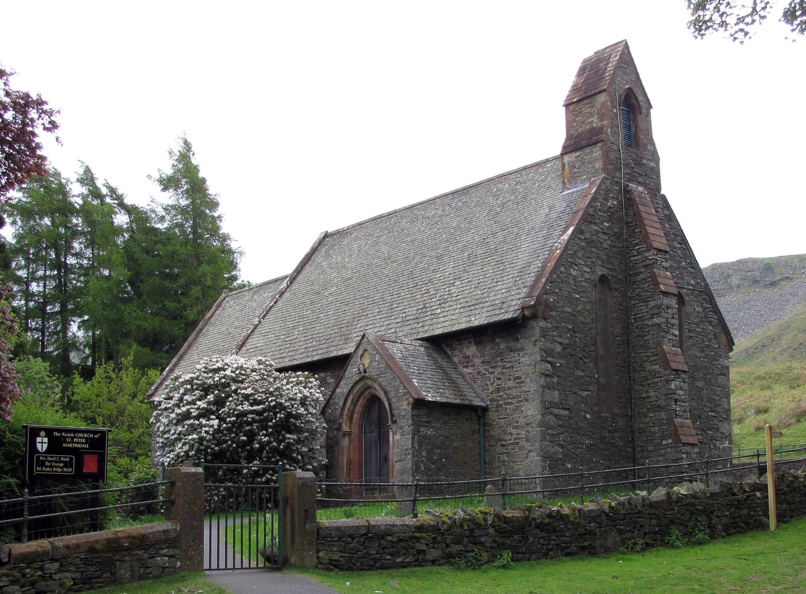
St Peter's Church, Martindale
St Peter’s Church is situated in the valley of Martindale in Cumbria, England. The church is located at the top of the hause on the minor road between...
Steel Knotts
Steel Knotts is a fell in the English Lake District, near to Ullswater in the Far Eastern Fells. It stands between the valleys of Fusedale and Martindale...
Hallin Fell
Hallin Fell is a hill in the English Lake District surrounded on three sides by Ullswater. == Topography == The fell is a continuation of the ridge leading...

Place Fell
Place Fell is a hill in the English Lake District. It stands at the corner of the upper and middle reaches of Ullswater, with steep western flanks overlooking...
Nearby Amenities
Located within 500m of 54.555195,-2.8925336Have you been to Boredale?
Leave your review of Boredale below (or comments, questions and feedback).