Right Bottom

Valley in Dorset

England

Right Bottom

Thatched cottage, Chideock, Dorset Free standing stone cottage with well maintained decorated thatched roof.
Thatched cottage, Chideock, Dorset Credit: Alex Passmore

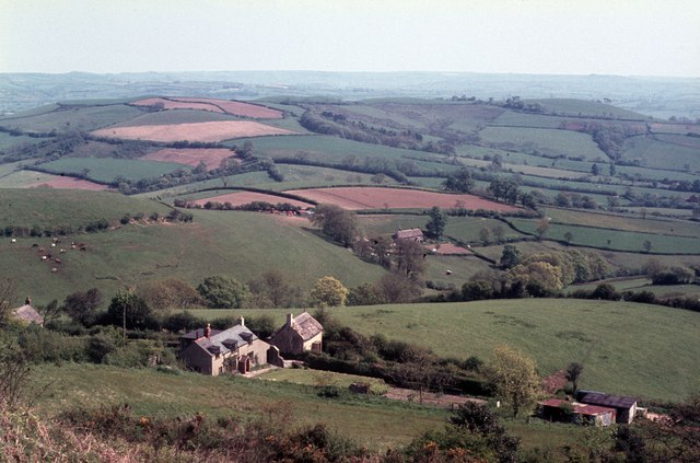
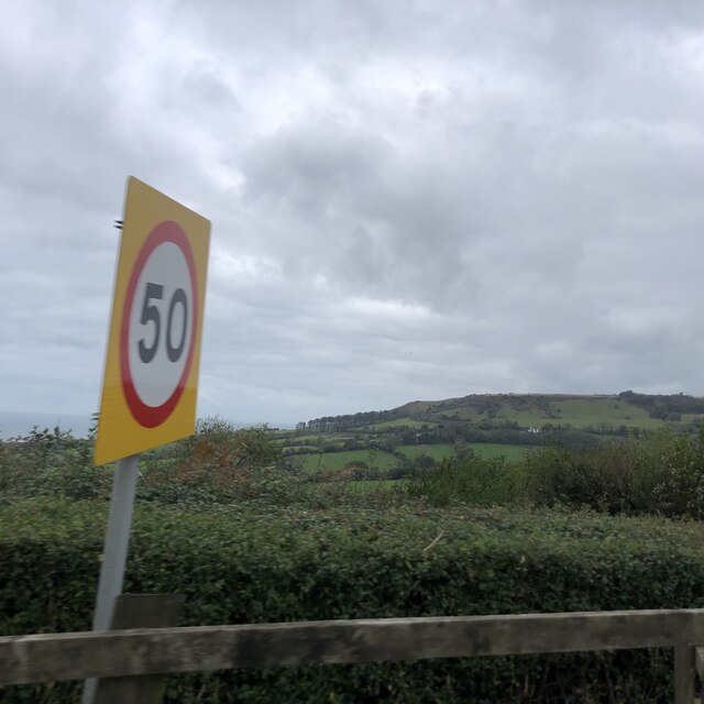
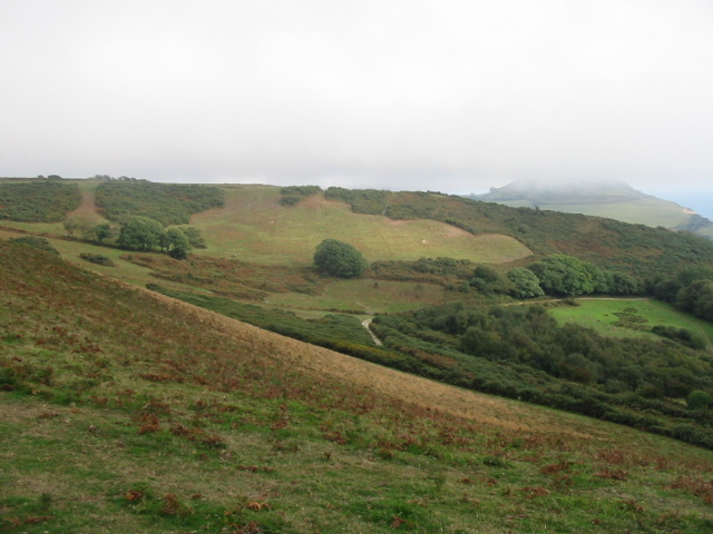
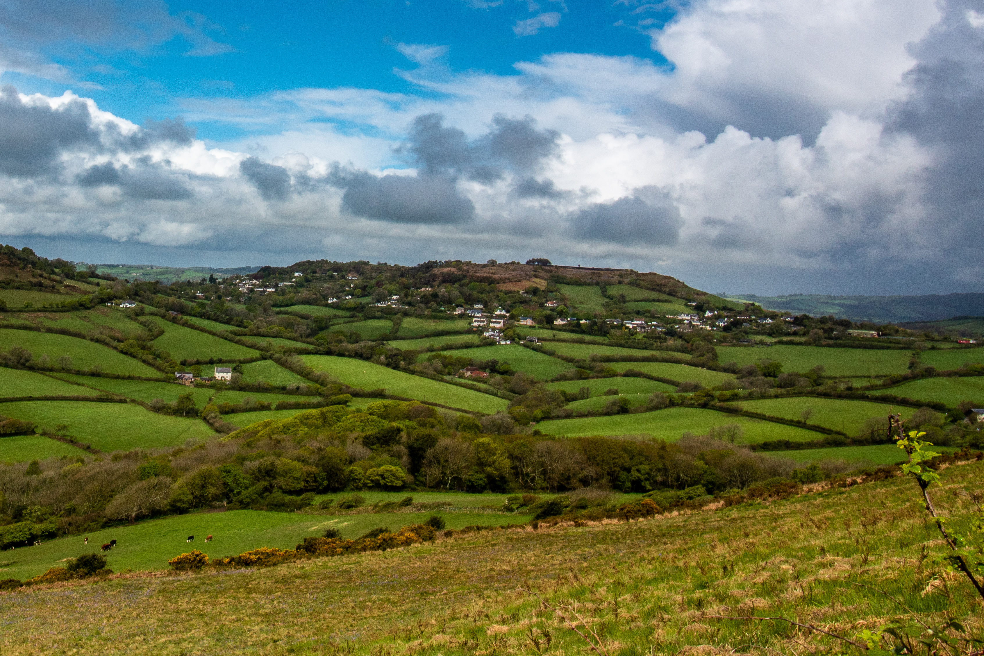
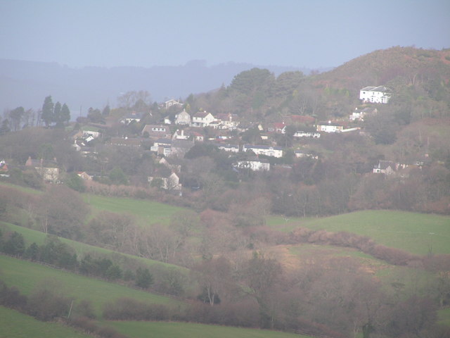
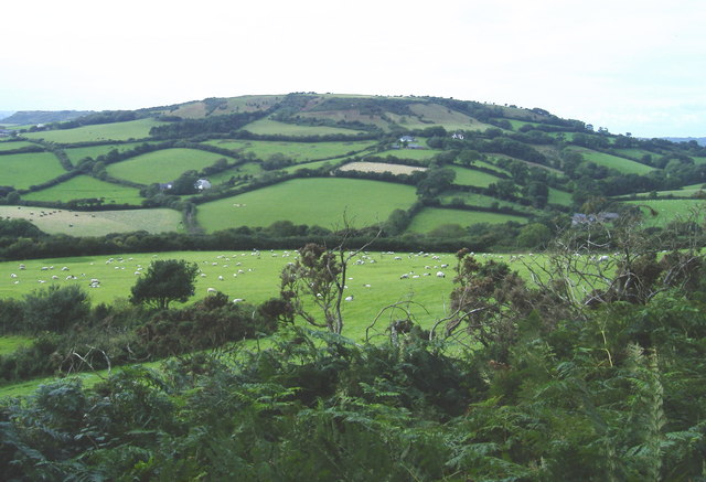
Right Bottom is a small village located in the county of Dorset, England. Nestled in a picturesque valley, it is known for its stunning natural beauty and tranquil surroundings. Situated at the southern edge of the county, Right Bottom is surrounded by rolling hills and lush greenery, making it a popular destination for nature enthusiasts and hikers.

The village itself is small, with a population of around 100 residents. It is characterized by its quaint cottages and traditional architecture, which adds to its charm and appeal. Despite its size, Right Bottom boasts a close-knit community, with friendly and welcoming locals.

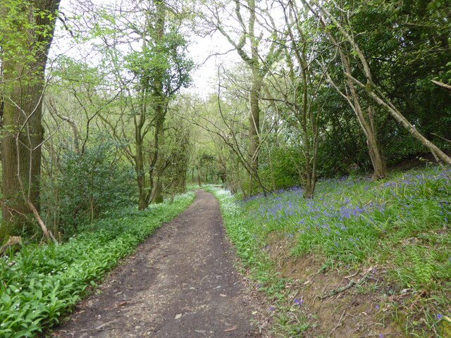
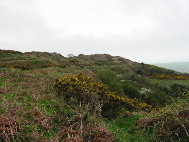
The valley in which Right Bottom is situated is home to a diverse range of wildlife and plant species, making it an ideal spot for nature lovers. The surrounding countryside offers numerous walking and cycling trails, allowing visitors to explore the area at their own pace. The nearby River Dorset flows through the valley, providing a serene environment for fishing and picnicking.

Right Bottom is also within close proximity to several points of interest. Just a short drive away is the historic town of Dorchester, known for its Roman ruins and connections to novelist Thomas Hardy. The stunning Jurassic Coast, a UNESCO World Heritage site, is also easily accessible, offering breathtaking views and fossil hunting opportunities.

Overall, Right Bottom, Dorset is a hidden gem that combines natural beauty, a tight-knit community, and proximity to notable attractions. It is the perfect destination for those seeking a peaceful and idyllic retreat in the heart of the English countryside.

If you have any feedback on the listing, please let us know in the comments section below.

Right Bottom Images

Images are sourced within 2km of 50.742989/-2.835387 or Grid Reference SY4194. Thanks to Geograph Open Source API. All images are credited.

Thatched cottage, Chideock, Dorset Free standing stone cottage with well maintained decorated thatched roof.
Thatched cottage, Chideock, Dorset
Free standing stone cottage with well maintained decorated thatched roof.
Footpath gateway on Golden Cap, Dorset Footpath gateway near the summit of Golden Cap on the Dorset coast.
Footpath gateway on Golden Cap, Dorset
Footpath gateway near the summit of Golden Cap on the Dorset coast.
Triangulation pillar, Golden Cap The triangulation pillar on the summit of Golden Cap.
The flush bracket benchmark number S3752 on the east face of the pillar marks a height of 190.9487m above sea level (Ordnance Datum Newlyn) last levelled in 1953 (photograph <a href="https://www.geograph.org.uk/photo/7095474">SY4092 : Flush Bracket benchmark, Golden Cap</a>).
This triangulation pillar is on the route of the England Coast Path.
Triangulation pillar, Golden Cap
The triangulation pillar on the summit of Golden Cap. The flush bracket benchmark number S3752 on the east face of the pillar marks a height of 190.9487m above sea level (Ordnance Datum Newlyn) last levelled in 1953 (photograph SY4092 : Flush Bracket benchmark, Golden Cap). This triangulation pillar is on the route of the England Coast Path.
Flush Bracket benchmark, Golden Cap Detail of the Ordnance Survey flush bracket benchmark on the triangulation pillar on the summit of Golden Cap (photograph <a href="https://www.geograph.org.uk/photo/7095263">SY4092 : Triangulation pillar, Golden Cap</a>).  The benchmark marks a height of 190.9487m above sea level (Ordnance Datum Newlyn) last levelled in 1953.
Flush Bracket benchmark, Golden Cap
Detail of the Ordnance Survey flush bracket benchmark on the triangulation pillar on the summit of Golden Cap (photograph SY4092 : Triangulation pillar, Golden Cap). The benchmark marks a height of 190.9487m above sea level (Ordnance Datum Newlyn) last levelled in 1953.
Bridge Cottage C18 thatched cottage near the River Winniford. It is a Grade II listed building.
Bridge Cottage
C18 thatched cottage near the River Winniford. It is a Grade II listed building.
The Clock Public house on the main street through Chideock
The Clock
Public house on the main street through Chideock
Path through St Gabriel's Wood, May Day 2023
Looking ENE from Hardown Hill, Morcombelake In the middle distance is the short range of low hills that includes Copper Hill and Jan's Hill. Hardown Hill, 207m, is one of Dorset's five Marilyns.
Looking ENE from Hardown Hill, Morcombelake
In the middle distance is the short range of low hills that includes Copper Hill and Jan's Hill. Hardown Hill, 207m, is one of Dorset's five Marilyns.
View to Chardown Hill  From Felicity's Farm Shop
View to Chardown Hill
From Felicity's Farm Shop
Golden Cap The trig point at the highest point on the south coast, looking east over Seatown towards Doghouse Hill
Golden Cap
The trig point at the highest point on the south coast, looking east over Seatown towards Doghouse Hill
Ship Inn, Morcombelake Situated on the main A35 at the west end of the village.
Ship Inn, Morcombelake
Situated on the main A35 at the west end of the village.
Golden Cap from the west As the highest point on the southern coast of England, Golden Cap gets lots of visitors.  Most walk up from Seatown and miss out on this great view of the hill from the west.
Golden Cap from the west
As the highest point on the southern coast of England, Golden Cap gets lots of visitors. Most walk up from Seatown and miss out on this great view of the hill from the west.
Coppet Hill
Coppet Hill
Remains of Stanton St. Gabriel's church featured in the novel "The Treasure of Golden Cap" by Bennet Copplestone
Remains of Stanton St. Gabriel's church
featured in the novel "The Treasure of Golden Cap" by Bennet Copplestone
Hardown Hill, Morcombelake
Farmland east of Hardown Hill
Chardown Hill
Chardown Hill
Pickaxe Junction The entrance to the St Gabriel estate owned by the National Trust.
Pickaxe Junction
The entrance to the St Gabriel estate owned by the National Trust.
Show me another place!

Right Bottom is located at Grid Ref: SY4194 (Lat: 50.742989, Lng: -2.835387)

Unitary Authority: Dorset

Police Authority: Dorset

What 3 Words

///payback.processes.kneeled. Near Charmouth, Dorset

Nearby Locations

Right Bottom

Related Wikis

Hardown Hill

Hardown Hill (207 metres, 679 feet high) is a hill between Ryall and Morcombelake in the county of Dorset, England. It rises west of the South Dorset...

Ryall, Dorset

Ryall is a small village in the county of Dorset, on the south coast of Great Britain. It is situated roughly midway between the towns of Bridport and...

Morcombelake

Morcombelake (also spelled Morecombelake) is a small village near Bridport in Dorset, England, within the ancient parish of Whitchurch Canonicorum. Golden...

Chardown Hill

Chardown Hill is a prominent, rounded hill, 194 metres (636 ft) high, just to the southwest of the village of Morcombelake in the county of Dorset in southern...

Nearby Amenities

Located within 500m of 50.742989,-2.835387
Source of the River Winniford
Drinking Water: no
Intermittent: no
Natural: spring
Lat/Long: 50.747186/-2.8362399
Barrier: stile
Material: wood
Stile: stepover
Lat/Long: 50.7399392/-2.8402389
Barrier: kissing_gate
Lat/Long: 50.7392122/-2.8376483
Barrier: stile
Lat/Long: 50.7392461/-2.8376697
Barrier: stile
Lat/Long: 50.739664/-2.8380109
Direction: 235
Generator Method: photovoltaic
Generator Output Electricity: yes
Generator Solar Modules: 13
Generator Source: solar
Generator Type: solar_photovoltaic_panel
Location: roof
Power: generator
Lat/Long: 50.741591/-2.8400822
Bus Stop
Star Lane
Bus: yes
Naptan AtcoCode: 1200DOB65024
Naptan Bearing: E
Naptan BusStopType: CUS
Naptan CommonName: Star Lane
Naptan Indicator: E-bound
Naptan NaptanCode: doradjdg
Naptan Street: A35
Naptan Verified: no
Public Transport: platform
Lat/Long: 50.7404208/-2.8387512
The data included in this document is from www.openstreetmap.org. The data is made available under ODbL.

Have you been to Right Bottom?

Leave your review of Right Bottom below (or comments, questions and feedback).