Cadams Cleugh

Valley in Midlothian

Scotland

Cadams Cleugh

Summit, The Struther Rough ground, grazed by horses. They stayed lower down the hill as it was rather windy.
Summit, The Struther Credit: Richard Webb

Cadams Cleugh is a picturesque valley located in Midlothian, Scotland. Nestled amidst the stunning landscape of the Scottish Borders, this valley offers a serene and tranquil environment for nature enthusiasts and hikers alike.

The valley is characterized by its rolling green hills, lush meadows, and towering trees. The crystal-clear Cadams Burn flows through the cleugh, adding to its scenic beauty. The presence of the burn also attracts a variety of wildlife, including otters, herons, and kingfishers, making it a haven for birdwatchers and wildlife photographers.

Cadams Cleugh is known for its excellent network of walking trails, which cater to all levels of fitness and adventure. The trails meander through the valley, offering breathtaking views of the surrounding countryside and the opportunity to explore the diverse flora and fauna that call this area home. The cleugh is also home to an array of wildflowers, including bluebells, primroses, and wild garlic, which create a vibrant and colorful landscape during the spring and summer months.

In addition to its natural beauty, Cadams Cleugh has historical significance. The remains of an Iron Age fort can be found in the valley, adding an element of intrigue and historical interest to the area.

Overall, Cadams Cleugh is a hidden gem in Midlothian, offering visitors a chance to escape the hustle and bustle of everyday life and immerse themselves in the tranquility of nature. Whether it's a leisurely stroll or an adventurous hike, this valley is a must-visit destination for nature lovers and those seeking a peaceful retreat.

If you have any feedback on the listing, please let us know in the comments section below.

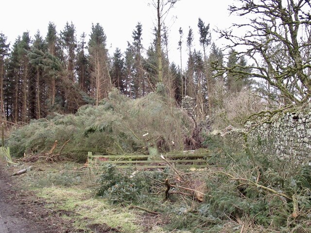
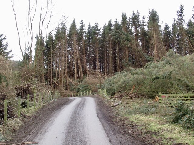
Cadams Cleugh Images

Images are sourced within 2km of 55.715358/-2.9499114 or Grid Reference NT4047. Thanks to Geograph Open Source API. All images are credited.

Summit, The Struther Rough ground, grazed by horses. They stayed lower down the hill as it was rather windy.
Summit, The Struther
Rough ground, grazed by horses. They stayed lower down the hill as it was rather windy.
Road from Over and Nether Shiels
Over Shiels road
Over Shiels road
Young hedge, Caddams Cleuch The shelterbelt was doing its work today, much more windy on the other side, on The Struther.
Young hedge, Caddams Cleuch
The shelterbelt was doing its work today, much more windy on the other side, on The Struther.
Newly planted hillside, Symington A block of young trees to the right of the shelter belt. View from The Struther.
Newly planted hillside, Symington
A block of young trees to the right of the shelter belt. View from The Struther.
Windthrow, Howliston The storm damage ("Arwen" 26/11/2021) has revealed the ruins of a tower house.
Windthrow, Howliston
The storm damage ("Arwen" 26/11/2021) has revealed the ruins of a tower house.
Windthrow, Howliston Much of a small conifer plantation was felled by a gale on 26th November 2021.
Windthrow, Howliston
Much of a small conifer plantation was felled by a gale on 26th November 2021.
Fountainhall from the air Shining Pool Wood is to the right and the wind farms at Hartside Hill and Dun Law can be seen in the distance. Viewed from a flight from Prague, heading for Edinburgh.
Fountainhall from the air
Shining Pool Wood is to the right and the wind farms at Hartside Hill and Dun Law can be seen in the distance. Viewed from a flight from Prague, heading for Edinburgh.
Town Law from the air Hazelbank Quarry can be seen to the left, with part of Toddleburn wind farm on the extreme left. Viewed from a flight from Prague, heading for Edinburgh.
Town Law from the air
Hazelbank Quarry can be seen to the left, with part of Toddleburn wind farm on the extreme left. Viewed from a flight from Prague, heading for Edinburgh.
Town Law plantations above Fountainhall Watherston Hill is at top right <a href="https://www.geograph.org.uk/photo/5614222">NT4246 : Forestry on Watherston Hill</a>. The remains of the first snow of winter can be seen.
Town Law plantations above Fountainhall
Watherston Hill is at top right NT4246 : Forestry on Watherston Hill. The remains of the first snow of winter can be seen.
The Glen
The Glen
Sorting the sheep at Howliston
Improved pasture, Symington Hill
Power lines, Symington Hill Electricity supply to settlement in the upper Lugate glen.
Power lines, Symington Hill
Electricity supply to settlement in the upper Lugate glen.
Over Shiels and the valley of Thrashie Burn With Saughly Law, an outlier of Deaf Heights on the other side.
Over Shiels and the valley of Thrashie Burn
With Saughly Law, an outlier of Deaf Heights on the other side.
Pasture on the eastern slope of The Struther
Field and shelter belt at Cadams Cleugh On the slopes of The Struther.
Field and shelter belt at Cadams Cleugh
On the slopes of The Struther.
Valley of the Thrashie Burn Pasture that has been ploughed and reseeded. Looking south to Over Shiels, with Calfhope Hill, part of the Deaf Heights, forming the skyline.
Valley of the Thrashie Burn
Pasture that has been ploughed and reseeded. Looking south to Over Shiels, with Calfhope Hill, part of the Deaf Heights, forming the skyline.
Show me another place!

Cadams Cleugh is located at Grid Ref: NT4047 (Lat: 55.715358, Lng: -2.9499114)

Unitary Authority: The Scottish Borders

Police Authority: The Lothians and Scottish Borders

What 3 Words

///tutored.culminate.fewer. Near Lauder, Scottish Borders

Nearby Locations

Cadams Cleugh

Related Wikis

Fountainhall railway station

Fountainhall railway station served the village of Fountainhall, Scottish Borders from 1848 to 1969 on the Waverley Route. == History == The station opened...

Allanshaugh

Allanshaugh is a fermtoun in the Scottish Borders area of Scotland. == See also == List of places in the Scottish Borders List of places in Scotland...

Peatrig Hill

Peatrig Hill is a minor hill in Scotland, located about 15 km south-southeast of Edinburgh. One of the Moorfoot Hills, it is located in the parish of Heriot...

Halltree

Halltree is a hamlet in the Scottish Borders. == Etymology == The etymology of Halltree is debated, but the second element is likely to be a Cumbric word...

Nearby Amenities

Located within 500m of 55.715358,-2.9499114
Power: pole
Lat/Long: 55.711927/-2.9456647
Power: pole
Lat/Long: 55.7119772/-2.9468177
The data included in this document is from www.openstreetmap.org. The data is made available under ODbL.

Have you been to Cadams Cleugh?

Leave your review of Cadams Cleugh below (or comments, questions and feedback).