Cranston Dean
Valley in Midlothian
Scotland
Cranston Dean
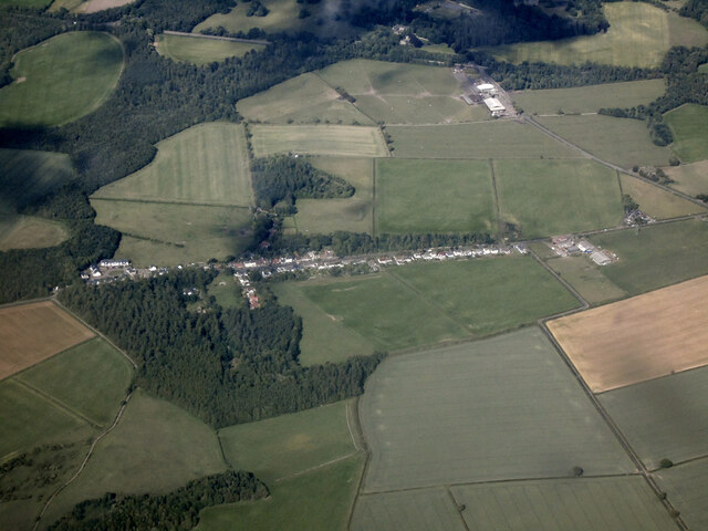
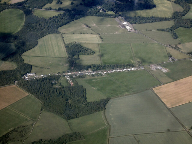
Cranston Dean is a small village located in Midlothian, Scotland. Situated in the picturesque Valley region, the village is known for its stunning natural beauty and tranquil atmosphere. With a population of around 500 residents, Cranston Dean offers a close-knit community and a peaceful lifestyle.
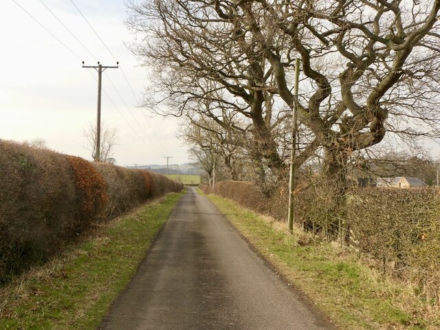
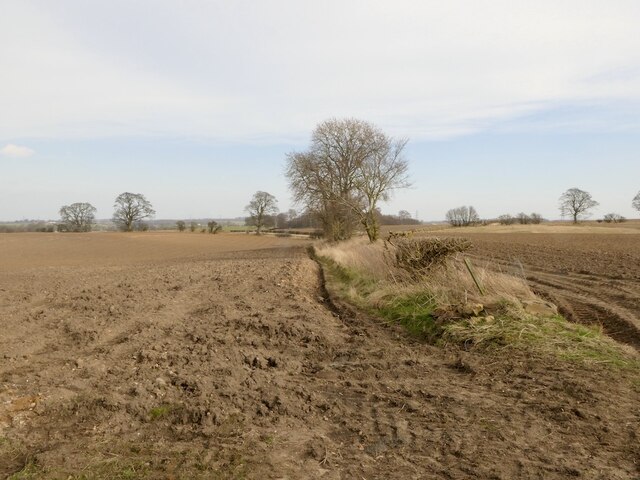
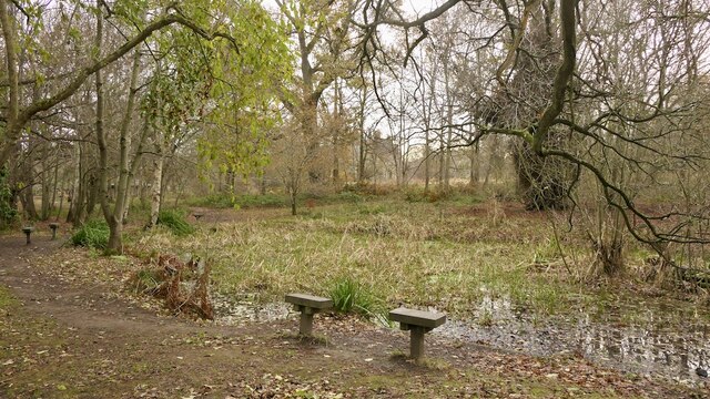
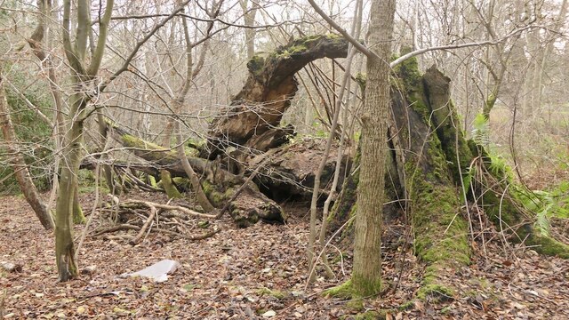
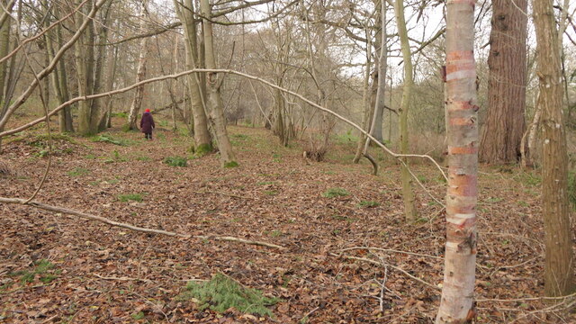
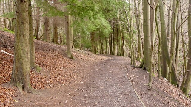
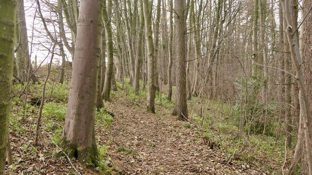
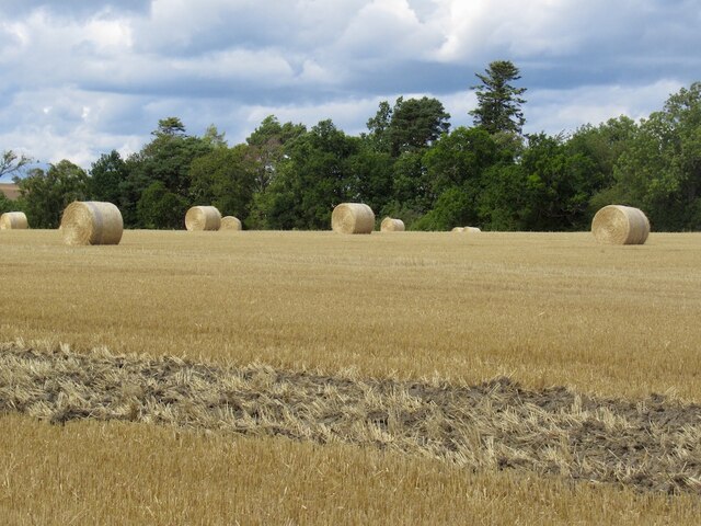
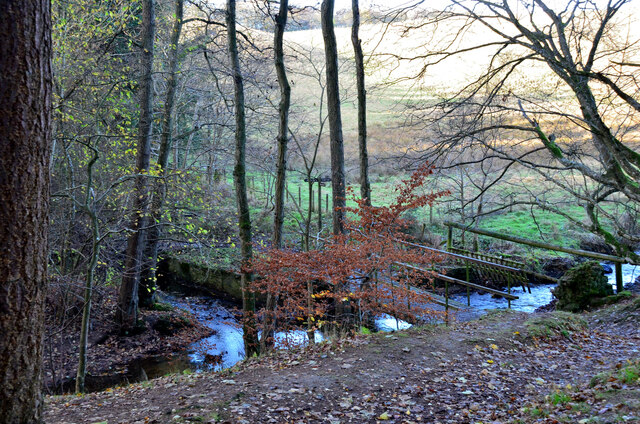
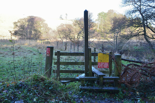
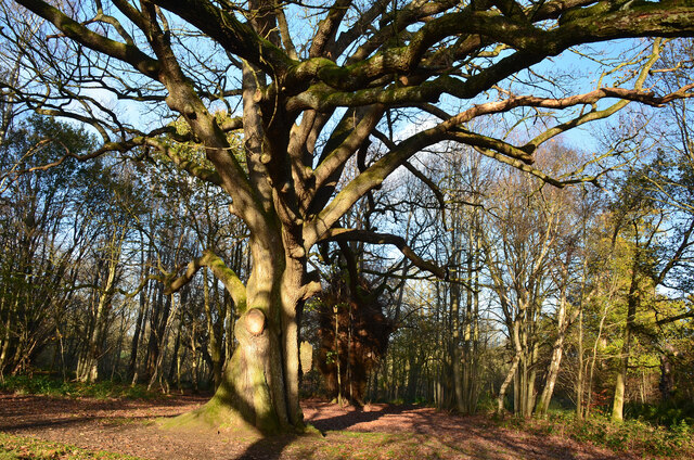
The village is surrounded by rolling hills, lush greenery, and stunning landscapes, making it a haven for nature lovers and outdoor enthusiasts. There are several walking and hiking trails in the area, providing ample opportunities for residents to explore the surrounding countryside and enjoy the scenic views.
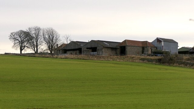
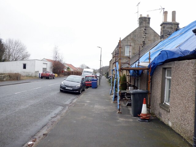
Cranston Dean has a rich history, with evidence of human settlements dating back to ancient times. The village itself has a charming and traditional feel, with many well-preserved historic buildings and landmarks. The local church, St. Mary's, is a prominent feature of the village and is worth a visit for its beautiful architecture and peaceful atmosphere.
Despite its small size, Cranston Dean is well-served with amenities and services. The village has a primary school, a community center, and a local pub that serves as a social hub for residents. Additionally, there are a few small shops and businesses that cater to the daily needs of the community.
Overall, Cranston Dean offers a serene and close-knit community in the heart of the Midlothian Valley. Its breathtaking natural surroundings, rich history, and friendly atmosphere make it an attractive place to live for those seeking a quieter and more rural lifestyle.
If you have any feedback on the listing, please let us know in the comments section below.
Cranston Dean Images
Images are sourced within 2km of 55.875169/-2.9791592 or Grid Reference NT3865. Thanks to Geograph Open Source API. All images are credited.


Cranston Dean is located at Grid Ref: NT3865 (Lat: 55.875169, Lng: -2.9791592)
Unitary Authority: Midlothian
Police Authority: The Lothians and Scottish Borders
What 3 Words
///pocket.liberated.dynamic. Near Mayfield, Midlothian
Nearby Locations
Related Wikis
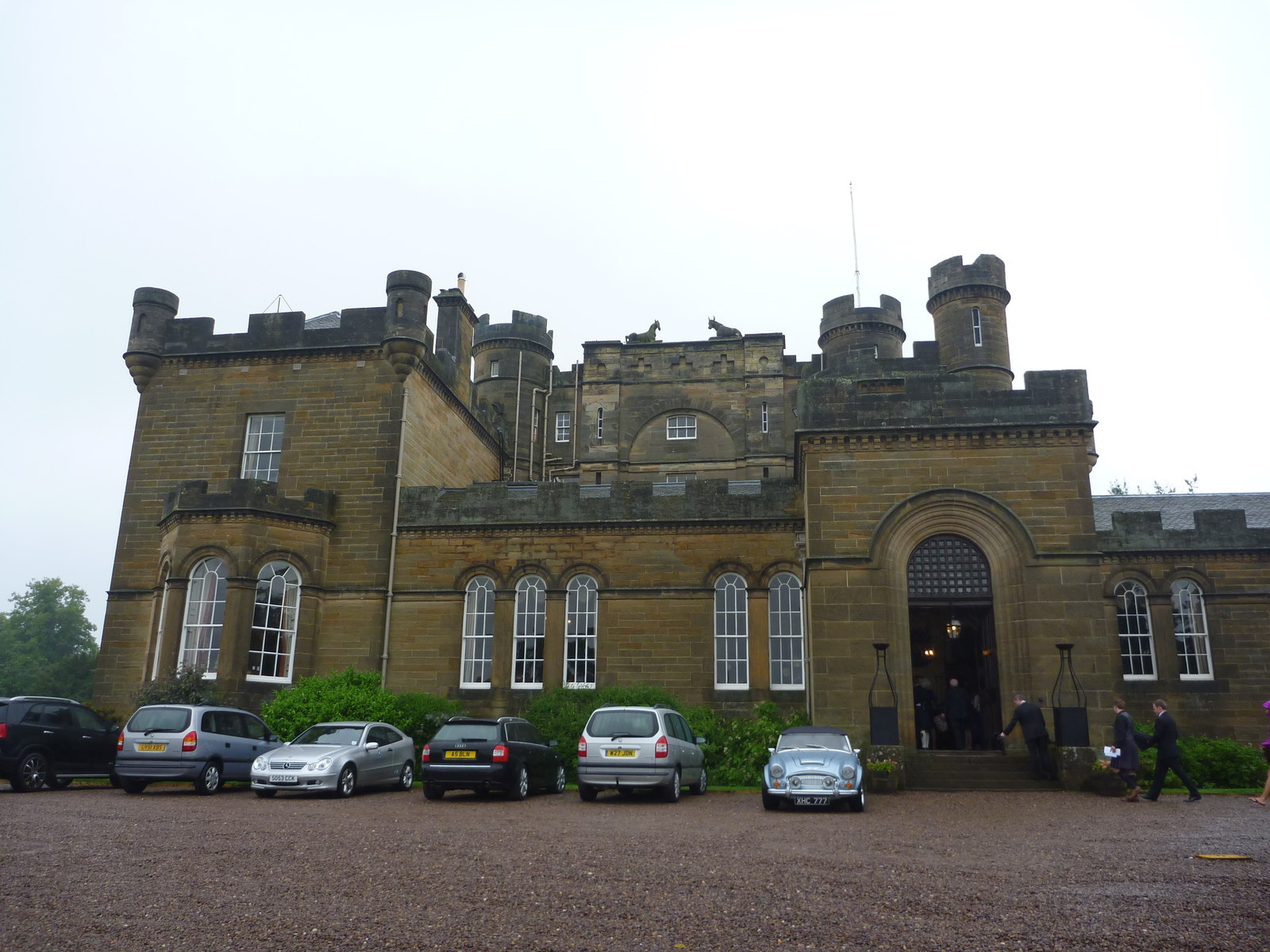
Oxenfoord Castle
Oxenfoord Castle is a country house in Midlothian, Scotland. It is located 1 kilometre (0.62 mi) north of Pathhead, Midlothian, and 6 kilometres (3.7 mi...

Cranston, Midlothian
Cranston is a parish of Midlothian, Scotland, lying 4+1⁄4 miles (6.8 kilometres) south-east of Dalkeith. It is bounded by the parishes of Inveresk and...

Preston Hall, Midlothian
Preston Hall, or Prestonhall, is a late-18th-century mansion in Midlothian, to the south of Edinburgh, Scotland. It is located 1.5 kilometres (0.93 mi...

Pathhead, Midlothian
Pathhead village is a conservation area in Midlothian, Scotland. == Location == Pathhead is located around 4 miles (6.4 km) south east of Dalkeith and...
Nearby Amenities
Located within 500m of 55.875169,-2.9791592Have you been to Cranston Dean?
Leave your review of Cranston Dean below (or comments, questions and feedback).