Gair Cleuch

Valley in Peeblesshire

Scotland

Gair Cleuch

Glentress Not the forest, but the house and the Glentress Water. As this is Glen Tress, I can only surmise that the plans for the forest were somewhat larger than what was finally planted and this glen was to be part of it. The actual Glentress Forest is close by.
Glentress Credit: Richard Webb

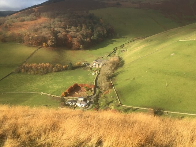
Gair Cleuch, located in Peeblesshire, Scotland, is a picturesque valley renowned for its natural beauty and historical significance. Nestled within the Scottish Borders, this valley is situated approximately 3 miles southeast of the town of Peebles.

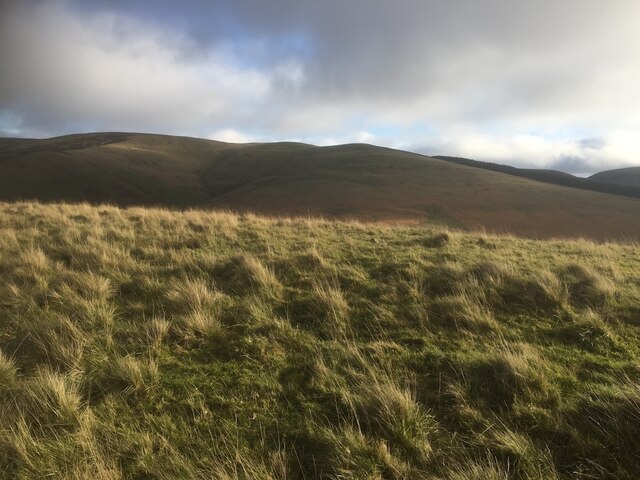
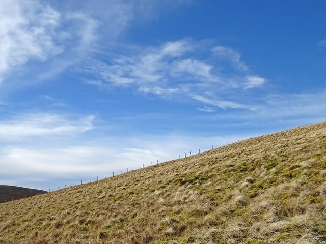
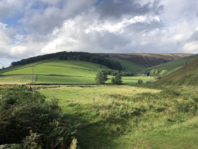
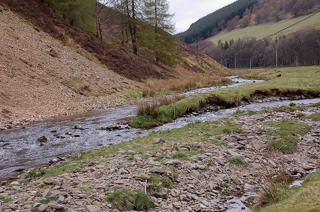
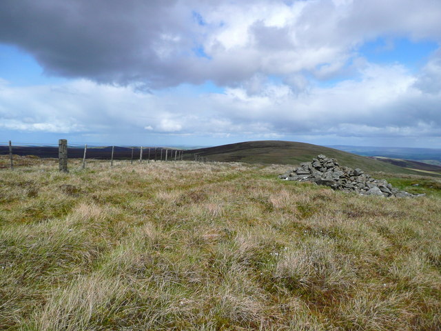
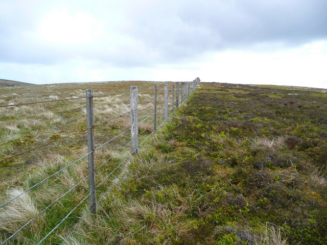
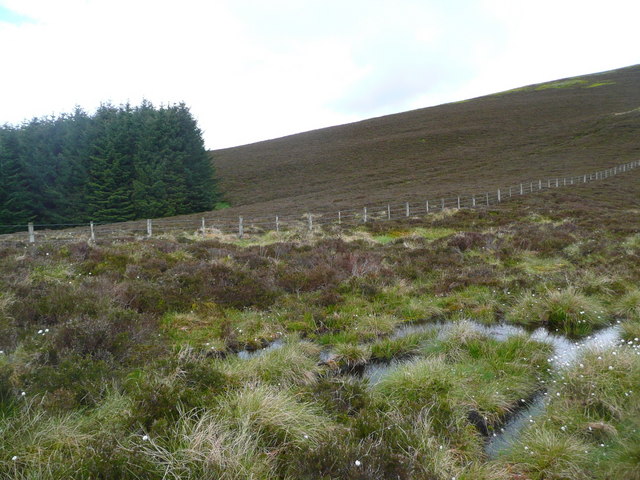
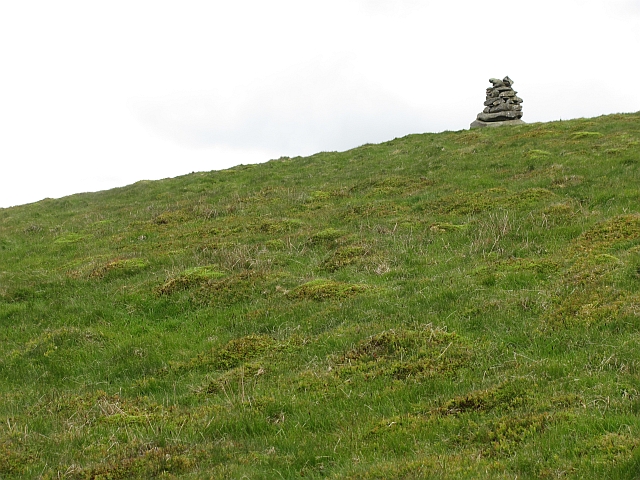
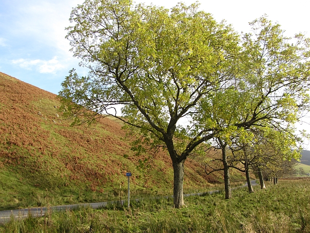
The valley is characterized by its breathtaking landscapes, featuring rolling hills, abundant greenery, and a meandering river that flows through its heart. Gair Cleuch is surrounded by lush forests, providing a haven for diverse flora and fauna. The valley is particularly enchanting during spring and summer when wildflowers bloom, and birdsong fills the air.

In addition to its natural splendor, Gair Cleuch also holds historical importance. It is home to several archaeological sites, including Bronze Age burial mounds and remnants of ancient settlements. These artifacts provide valuable insights into the region's rich past and offer a glimpse into the lives of its early inhabitants.

For outdoor enthusiasts, Gair Cleuch offers a plethora of activities. The valley is a haven for hikers, offering a range of trails suitable for all levels of experience. Whether embarking on a leisurely stroll or a challenging hike up the surrounding hills, visitors are rewarded with magnificent views of the surrounding countryside.

Gair Cleuch is a hidden gem in Peeblesshire, offering a tranquil escape from the hustle and bustle of everyday life. Its combination of natural beauty and historical significance make it a must-visit destination for nature lovers, history enthusiasts, and those seeking a peaceful retreat.

If you have any feedback on the listing, please let us know in the comments section below.

Gair Cleuch Images

Images are sourced within 2km of 55.670294/-3.042052 or Grid Reference NT3442. Thanks to Geograph Open Source API. All images are credited.

Glentress Not the forest, but the house and the Glentress Water. As this is Glen Tress, I can only surmise that the plans for the forest were somewhat larger than what was finally planted and this glen was to be part of it. The actual Glentress Forest is close by.
Glentress
Not the forest, but the house and the Glentress Water. As this is Glen Tress, I can only surmise that the plans for the forest were somewhat larger than what was finally planted and this glen was to be part of it. The actual Glentress Forest is close by.
Whitehope View from Dod Hill.
Whitehope
View from Dod Hill.
Summit, Dod Hill
Summit, Dod Hill
Ridge off Dod Hill View towards the south top of Windlestraw Law.
Ridge off Dod Hill
View towards the south top of Windlestraw Law.
Glentress and the B709 Not the forest, but the house and the Glentress Water. As this is Glen Tress, I can only surmise that the plans for the forest were somewhat larger than what was finally planted and this glen was to be part of it. The actual Glentress Forest is close by.
Glentress and the B709
Not the forest, but the house and the Glentress Water. As this is Glen Tress, I can only surmise that the plans for the forest were somewhat larger than what was finally planted and this glen was to be part of it. The actual Glentress Forest is close by.
House at Glentress
House at Glentress
Fence on Windlestraw Law Descending from the southern top of Windlestraw Law on a lovely but bitterly cold day.
Fence on Windlestraw Law
Descending from the southern top of Windlestraw Law on a lovely but bitterly cold day.
Glentress, Innerleithen
Burnside and Whitehope Burn Moorfoot Hills.
Burnside and Whitehope Burn
Moorfoot Hills.
Glentress Water Glentress Water joins the Leithen Water 500m downstream. The white cottage is Burnside, just below Whitehope farm. <a href="https://www.geograph.org.uk/photo/129932">NT3342 : Glentress Water</a> shows the same view in 2006.
Glentress Water
Glentress Water joins the Leithen Water 500m downstream. The white cottage is Burnside, just below Whitehope farm. NT3342 : Glentress Water shows the same view in 2006.
Leithen Water bird habitat Home to a variety of bird life - two oystercatchers are in view on the grass bank near centre, the steep erosion slope had a number of sand martins popping in and out of the holes, and around the burn were dippers, pied wagtails and a heron.
Leithen Water bird habitat
Home to a variety of bird life - two oystercatchers are in view on the grass bank near centre, the steep erosion slope had a number of sand martins popping in and out of the holes, and around the burn were dippers, pied wagtails and a heron.
Glentress Water meets the Leithen Water Glentress Water rises on the W side of Windlestraw Law and is joined by burns from either side of the B709 up to the watershed by the Piper's Grave.
Glentress Water meets the Leithen Water
Glentress Water rises on the W side of Windlestraw Law and is joined by burns from either side of the B709 up to the watershed by the Piper's Grave.
Cairn on the south summit of Windlestraw Law The north, and higher, summit is the rise in the distance.
Cairn on the south summit of Windlestraw Law
The north, and higher, summit is the rise in the distance.
Fence on the SW ridge of Windlestraw Law
Soggy ground on the west ridge of Glede Knowe
Cairn on Windlestraw Law The cairn is below the south top in a position which makes it visible on the skyline when looking up from Caberstongrains.
Cairn on Windlestraw Law
The cairn is below the south top in a position which makes it visible on the skyline when looking up from Caberstongrains.
Ashes beside the B709 A line of trees near the Leithen Lodge turn off.
Ashes beside the B709
A line of trees near the Leithen Lodge turn off.
Show me another place!

Gair Cleuch is located at Grid Ref: NT3442 (Lat: 55.670294, Lng: -3.042052)

Unitary Authority: The Scottish Borders

Police Authority: The Lothians and Scottish Borders

What 3 Words

///jots.eased.shaped. Near Innerleithen, Scottish Borders

Nearby Locations

Gair Cleuch

Related Wikis

Windlestraw Law

Windlestraw Law is a hill in the Moorfoot Hills range, part of the Southern Uplands of Scotland. It is the highest peak of the range, and lies north of...

Walkerburn

Walkerburn (Scottish Gaelic: Allt an Fhùcadair) is a small village in the Scottish Borders area of Scotland, on the A72 about 8 miles (13 km) from Peebles...

The Kirna

The Kirna, known locally as Kirna House (previously also as Grangehill), is a Category A listed villa in Walkerburn, Peeblesshire, Scotland. It is one...

Nether Horsburgh Castle

Nether Horsburgh Castle is a ruined tower house near Cardrona, in the Scottish Borders, in the former county of Peebleshire. It is situated at the back...

Cardrona, Scottish Borders

Cardrona is a village on the A72 and B7062, between Peebles and Innerleithen, in the Scottish Borders area of Scotland. Places nearby include Glentress...

Cardrona railway station

Cardrona railway station served the village of Cardrona, Scottish Borders, Scotland from 1864 to 1962 on the Peebles Railway. == History == The station...

Walkerburn railway station

Walkerburn railway station served the village of Walkerburn, Scottish Borders, Scotland from 1867 to 1962 on the Peebles Railway. == History == The station...

Vale of Leithen F.C.

Vale of Leithen Football Club are a football club based in the town of Innerleithen, Scotland. They play in the East of Scotland League First Division...

Have you been to Gair Cleuch?

Leave your review of Gair Cleuch below (or comments, questions and feedback).