Laughton

Settlement in Lincolnshire South Kesteven

England

Laughton

Sovereign Street crossing Pointon Lode into Aslackby
Sovereign Street crossing Pointon Lode into Aslackby Credit: Tim Heaton

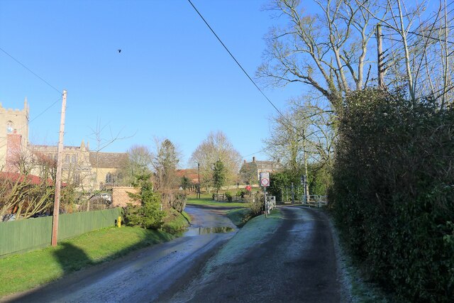
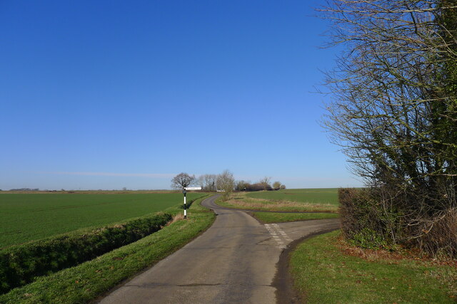
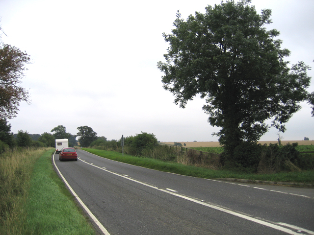
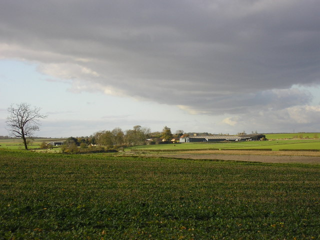
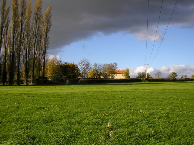
Laughton is a small village located in the county of Lincolnshire, England. Situated approximately 6 miles north of the town of Gainsborough, Laughton is nestled in the picturesque landscape of the Trent Valley. The village is primarily agricultural, with vast fields and farmland surrounding the area.

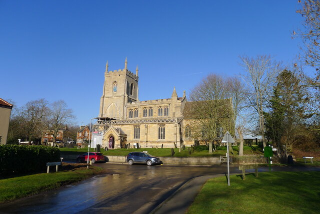
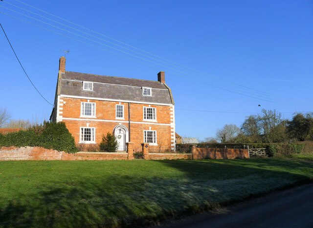
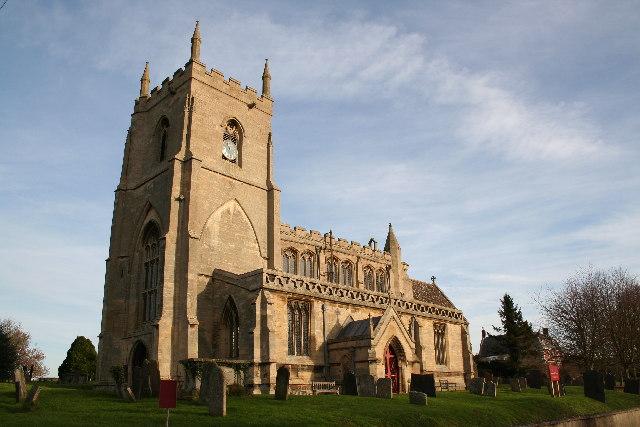
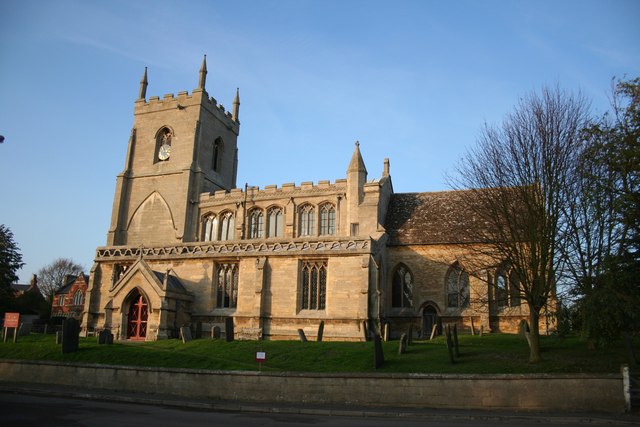
The village itself is known for its charming and traditional English character. It features a cluster of stone cottages and houses, many of which date back to the 18th and 19th centuries, giving the village an authentic and historical feel. The St. John the Baptist Church, a striking medieval building, stands proudly in the heart of the village, serving as a reminder of Laughton's rich history.

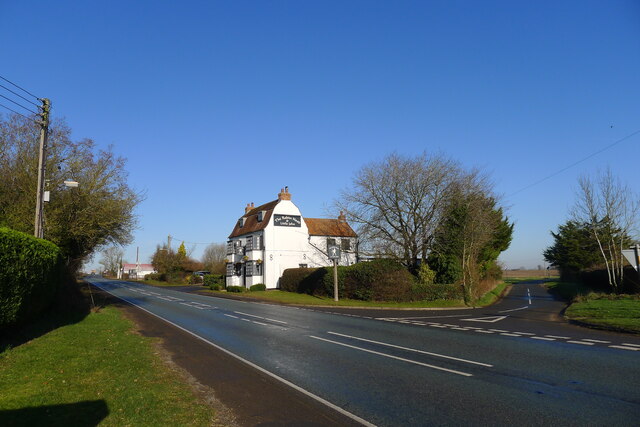
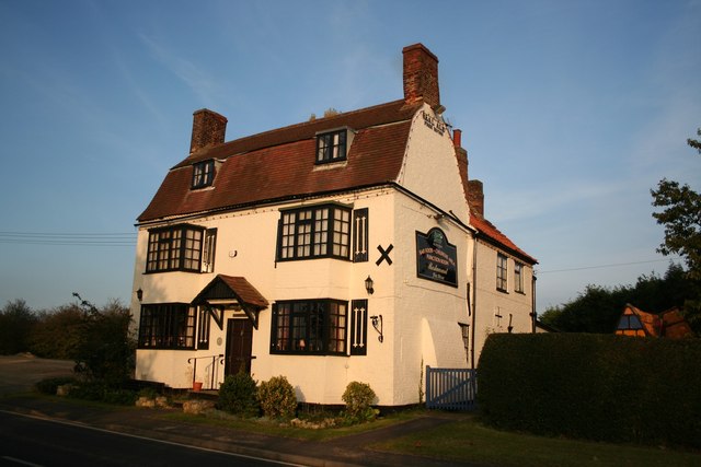
Despite its small size, Laughton boasts a strong sense of community. The village has a primary school, providing education to the local children, and a village hall that hosts various events and activities throughout the year. There is also a local pub, The Jug and Bottle, which serves as a popular meeting spot for both residents and visitors.

For outdoor enthusiasts, Laughton offers plenty of opportunities to explore the surrounding countryside. The village is located near the Lincolnshire Wolds, an Area of Outstanding Natural Beauty, where visitors can enjoy scenic walks, cycling routes, and wildlife spotting.

Overall, Laughton is a tranquil and idyllic village that offers a peaceful retreat from the hustle and bustle of urban life, while still providing a strong sense of community and a connection to nature.

If you have any feedback on the listing, please let us know in the comments section below.
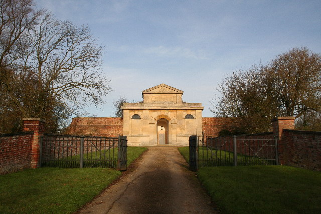
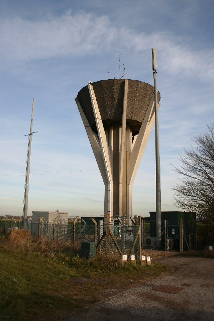
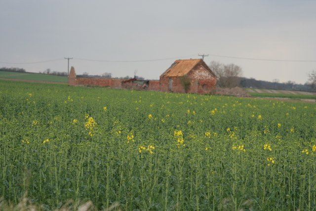
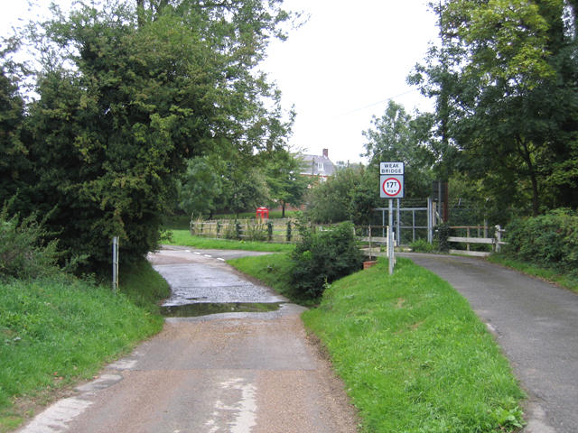
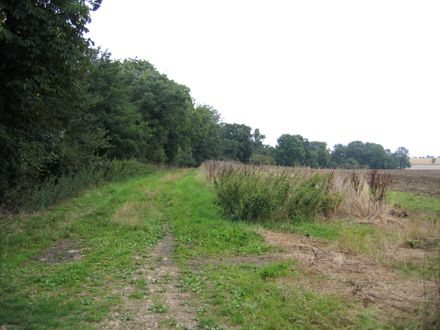
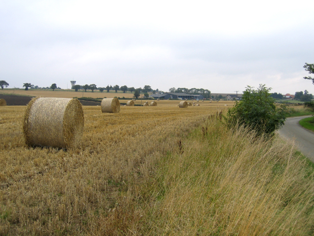
Laughton Images

Images are sourced within 2km of 52.873193/-0.395229 or Grid Reference TF0831. Thanks to Geograph Open Source API. All images are credited.

Sovereign Street crossing Pointon Lode into Aslackby
Church of St James, Aslackby Listed Grade I, from the 13th century <span class="nowrap"><a title="https://www.robschurches.com/aslackby" rel="nofollow ugc noopener" href="https://www.robschurches.com/aslackby">Link</a><img style="margin-left:2px;" alt="External link" title="External link - shift click to open in new window" src="https://s1.geograph.org.uk/img/external.png" width="10" height="10"/></span>
Church of St James, Aslackby
Listed Grade I, from the 13th century LinkExternal link
Moorfield House, Aslackby Late 18th to mid 19th century farmhouse <span class="nowrap"><a title="https://historicengland.org.uk/listing/the-list/list-entry/1317654?section=official-list-entry" rel="nofollow ugc noopener" href="https://historicengland.org.uk/listing/the-list/list-entry/1317654?section=official-list-entry">Link</a><img style="margin-left:2px;" alt="External link" title="External link - shift click to open in new window" src="https://s1.geograph.org.uk/img/external.png" width="10" height="10"/></span>
Moorfield House, Aslackby
Late 18th to mid 19th century farmhouse LinkExternal link
The A15 passing the Robin Hood and Little John Popular pub restaurant, and a great pint of Black Sheep. <span class="nowrap"><a title="https://heritage-explorer.lincolnshire.gov.uk/Monument/MLI121668" rel="nofollow ugc noopener" href="https://heritage-explorer.lincolnshire.gov.uk/Monument/MLI121668">Link</a><img style="margin-left:2px;" alt="External link" title="External link - shift click to open in new window" src="https://s1.geograph.org.uk/img/external.png" width="10" height="10"/></span> describes it as an 19th century farmhouse
The A15 passing the Robin Hood and Little John
Popular pub restaurant, and a great pint of Black Sheep. LinkExternal link describes it as an 19th century farmhouse
Mareham Lane (Roman road) north of Graby The modern Mareham Lane runs from near Graby, Lincolnshire, due north for about 10.5 miles to Sleaford. Much of its length follows the route of a Roman road, Margary number 260, which ran for about 16 miles from Bourne to Sleaford (Margary, I.D., 1955. Roman roads in Britain, volume 1)
Mareham Lane (Roman road) north of Graby
The modern Mareham Lane runs from near Graby, Lincolnshire, due north for about 10.5 miles to Sleaford. Much of its length follows the route of a Roman road, Margary number 260, which ran for about 16 miles from Bourne to Sleaford (Margary, I.D., 1955. Roman roads in Britain, volume 1)
The House of Correction Built in 1825 by architect Bryan Browning, the gatehouse / Governor's house of Folkingham's House of Correction inside the moated area of the medieval castle.
The House of Correction
Built in 1825 by architect Bryan Browning, the gatehouse / Governor's house of Folkingham's House of Correction inside the moated area of the medieval castle.
Folkingham Water Tower On the high ground to the south of Folkingham village
Folkingham Water Tower
On the high ground to the south of Folkingham village
St.James' church, Aslackby, Lincs. The village name is pronounced 'Ayzelbee' and there was a Preceptory of the Knights Templar founded here in 1154, but nothing remains. St.James church has a Victorian chancel of 1856 and a Perpendicular clerestory on a 14th century Decorated nave.
St.James' church, Aslackby, Lincs.
The village name is pronounced 'Ayzelbee' and there was a Preceptory of the Knights Templar founded here in 1154, but nothing remains. St.James church has a Victorian chancel of 1856 and a Perpendicular clerestory on a 14th century Decorated nave.
Barn near Birthorpe
Barn near Birthorpe
Ford in Aslackby village, Lincs
Greenfields Lane, Laughton, Lincs a public access route north to Folkingham.
Greenfields Lane, Laughton, Lincs
a public access route north to Folkingham.
Bales of wheat straw, Laughton, Lincs
The A15 road at Laughton, Lincs the main road from Sleaford to Bourne.
The A15 road at Laughton, Lincs
the main road from Sleaford to Bourne.
Robin Hood and Little John Historic, early 19th century coaching inn at Aslackby called the Robin Hood and Little John.

All you men who think it good
Come have a drink with Robin Hood
If Robin Hood abroad has gone
Then have a drink with Little John
Robin Hood and Little John
Historic, early 19th century coaching inn at Aslackby called the Robin Hood and Little John. All you men who think it good Come have a drink with Robin Hood If Robin Hood abroad has gone Then have a drink with Little John
St.James' church
St.James' church
Folkingham Manor House A handsome mid 17th century house built for Lord Clinton with stone robbed from the nearby ruins of Folkingham Castle
Folkingham Manor House
A handsome mid 17th century house built for Lord Clinton with stone robbed from the nearby ruins of Folkingham Castle
Laughton Manor Farm
Laughton Manor Farm
Beacon Hill Farm
Beacon Hill Farm
Show me another place!

Laughton is located at Grid Ref: TF0831 (Lat: 52.873193, Lng: -0.395229)

Division: Parts of Kesteven

Administrative County: Lincolnshire

District: South Kesteven

Police Authority: Lincolnshire

What 3 Words

///milk.field.heaven. Near Billingborough, Lincolnshire

Nearby Locations

Laughton

Related Wikis

St James' Church, Aslackby

St James the Great Church is a Grade I listed Church of England parish church dedicated to James, son of Zebedee in Aslackby, Lincolnshire, England. The...

Aslackby Preceptory

Aslackby Preceptory in Lincolnshire lay to the south-east of Aslackby Church. Until about 1891 a tower, possibly of the preceptory church, together with...

Folkingham

Folkingham ( FOK-ing-əm) is a village and civil parish in the South Kesteven district of Lincolnshire, England. It lies on the A15 road 11 miles (18 km...

Folkingham Castle

Folkingham Castle is located near the village of Folkingham, Lincolnshire, England. The castle was the caput baroniae of the barony of Folkingham. A motte...

Nearby Amenities

Located within 500m of 52.873193,-0.395229
Laughton
Is In: Lincolnshire, England, UK
Place: isolated_dwelling
Lat/Long: 52.8723217/-0.3983176
Bus Stop
A15 Lane End
Naptan AtcoCode: 270002700335
Naptan Bearing: NW
Naptan CommonName: A15 Lane End
Naptan Indicator: adj
Naptan Landmark: Lane End
Naptan Street: A15
Naptan Verified: no
Source: naptan_import
Lat/Long: 52.8733196/-0.3954526
Bus Stop
A15 Lane End
Naptan AtcoCode: 2700LLLE3992
Naptan Bearing: SE
Naptan CommonName: A15 Lane End
Naptan Indicator: opp
Naptan Landmark: Lane End
Naptan NaptanCode: lindgtmg
Naptan Street: A15
Naptan Verified: no
Source: naptan_import
Lat/Long: 52.8731782/-0.3949675
Laughton Manor
Place: isolated_dwelling
Source: Bing
Lat/Long: 52.8753963/-0.3964075
Laughton Equestrian
Addr City: Laughton
Addr Place: Laughton Manor
Addr Postcode: NG34 0HB
Fhrs Authority: South Kesteven
Fhrs Id: 237657
Fhrs Local Authority Id: 10931
Leisure: sports_centre
Sport: equestrian
Lat/Long: 52.8755667/-0.3942204
The data included in this document is from www.openstreetmap.org. The data is made available under ODbL.

Have you been to Laughton?

Leave your review of Laughton below (or comments, questions and feedback).