Balruddery Den
Valley in Perthshire
Scotland
Balruddery Den

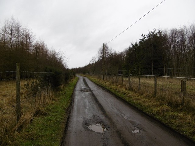
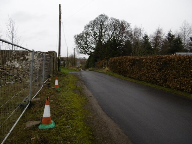
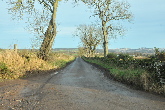
Balruddery Den is a picturesque valley located in the county of Perthshire, Scotland. Nestled between rolling hills and lush greenery, the den offers a tranquil escape for nature enthusiasts and hikers alike. With its stunning natural beauty and diverse wildlife, it has become a popular destination for visitors seeking a peaceful retreat.
The den is characterized by its dense woodland, consisting mainly of oak, birch, and beech trees. The vibrant foliage provides a colorful display throughout the year, especially during autumn when the leaves turn into shades of red, orange, and gold. A network of well-maintained trails winds through the valley, allowing visitors to explore its various attractions at their own pace.
One of the main highlights of Balruddery Den is the presence of a small river that runs through the valley. The gentle babbling of the water creates a serene atmosphere, while also providing a habitat for a variety of aquatic creatures. The river is also a popular spot for fishing, with salmon and trout being the most commonly caught species.
Wildlife enthusiasts will delight in the den's diverse fauna. Red squirrels, roe deer, and various bird species can be spotted throughout the area, making it a haven for wildlife photography and birdwatching. Additionally, the den is home to several rare plant species, adding to its ecological significance.
Overall, Balruddery Den offers a peaceful and idyllic setting for individuals seeking a connection with nature. Its well-preserved natural beauty, diverse wildlife, and tranquil atmosphere make it a must-visit destination for those exploring the Perthshire region.
If you have any feedback on the listing, please let us know in the comments section below.
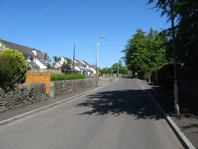
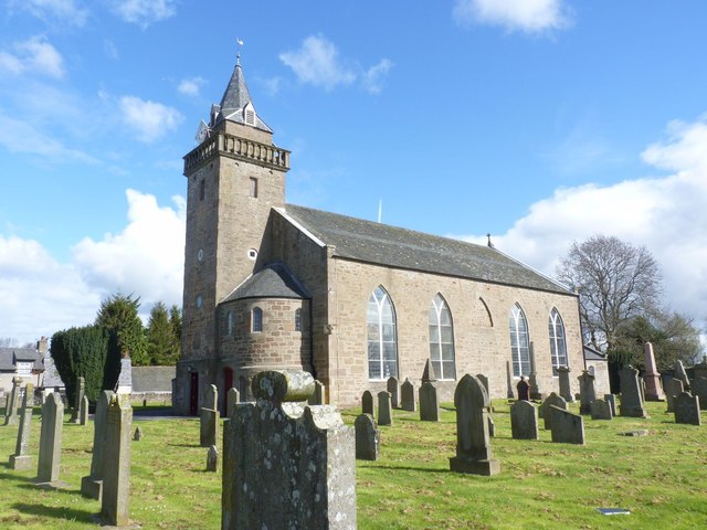
Balruddery Den Images
Images are sourced within 2km of 56.479703/-3.1152765 or Grid Reference NO3132. Thanks to Geograph Open Source API. All images are credited.


Balruddery Den is located at Grid Ref: NO3132 (Lat: 56.479703, Lng: -3.1152765)
Unitary Authority: Angus
Police Authority: Tayside
What 3 Words
///minder.worlds.juggler. Near Longforgan, Perth & Kinross
Nearby Locations
Related Wikis
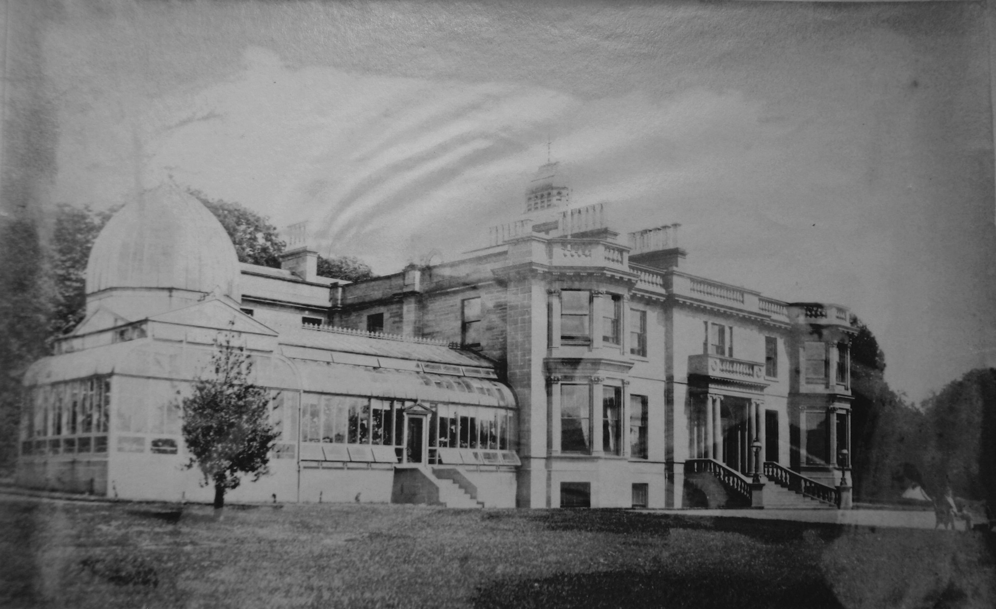
Balruddery
Balruddery House by Longforgan in Perthshire, Scotland, was designed by David Neave for James Webster circa 1820. In about 1879 it was bought by James...

Fowlis Castle
Fowlis Castle is situated five miles north-west of Dundee, Scotland, in the hamlet of Fowlis. It is a tower house dating from the seventeenth century....
Liff, Angus
Liff is a village in Angus, Scotland, situated 4+1⁄2 miles (7 kilometres) west-northwest of Dundee on a south-facing slope two miles (three kilometres...
Longforgan
Longforgan is a village and parish in the Carse of Gowrie, in Perth and Kinross, Scotland. It lies 5 miles (8 kilometres) west of Dundee on the main A90...

Royal Dundee Liff Hospital
The Royal Dundee Liff Hospital, previously known as Dundee Lunatic Asylum and Dundee Royal Lunatic Asylum, was a mental health facility originally established...

Backmuir Wood
Backmuir Wood is a 140.58 acres (56.89 ha) woodland in the Scottish county of Angus, about 4 kilometres (2 mi) northwest of Dundee. It is located south...

Knapp, Perthshire
Knapp is a hamlet in Perth and Kinross, Scotland. It is located to the northeast of Inchture, about 9.7 miles (15.6 km) by road west of the city centre...

Dundee West (UK Parliament constituency)
Dundee West is a constituency of the House of Commons of the Parliament of the United Kingdom. It elects one Member of Parliament (MP) by the first-past...
Nearby Amenities
Located within 500m of 56.479703,-3.1152765Have you been to Balruddery Den?
Leave your review of Balruddery Den below (or comments, questions and feedback).