Chapel Den

Valley in Fife

Scotland

Chapel Den

Farmland by Greenside, Drummy Wood Looking across much of the square in a north direction towards Rameldry. Much of the square to the South of this position is old woodland.
Farmland by Greenside, Drummy Wood Credit: Jim Bain

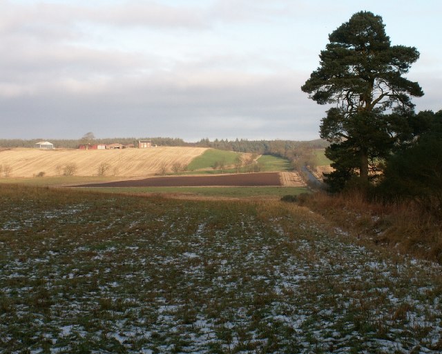
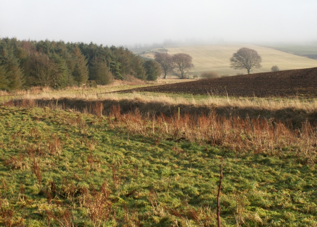
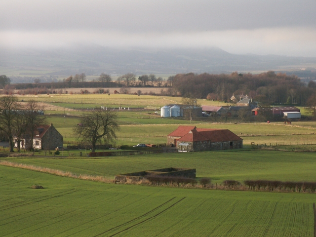
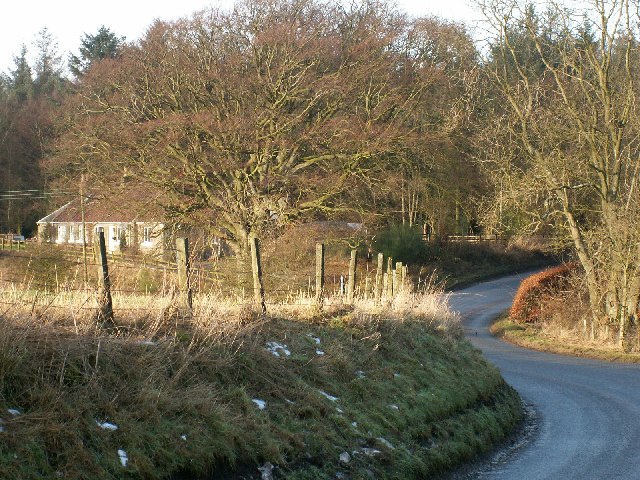
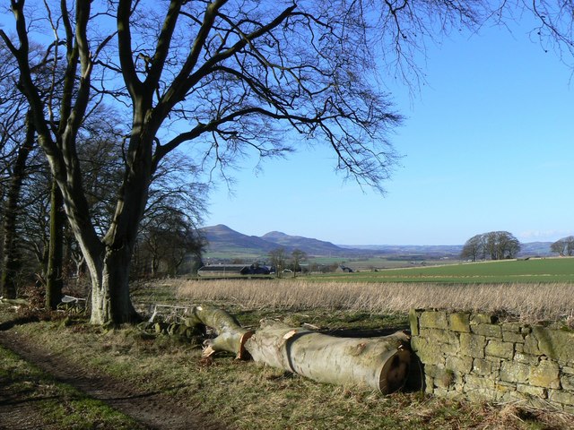
Chapel Den is a picturesque valley located in the region of Fife, Scotland. Nestled between the towns of Glenrothes and Kennoway, this tranquil and scenic area offers a serene escape from the bustling city life that surrounds it. The valley is known for its lush greenery, rolling hills, and breathtaking views, making it a popular destination for nature lovers and outdoor enthusiasts.

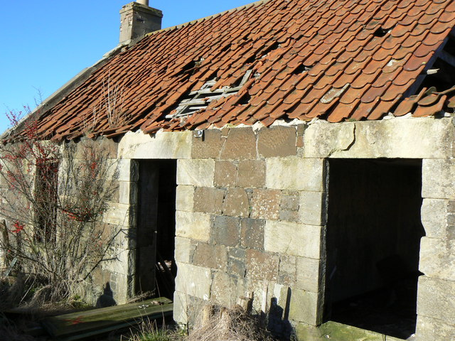
The name Chapel Den is derived from a small chapel that once stood in the area, serving as a place of worship for the local community. While the chapel no longer exists today, its historical significance adds to the charm of the valley.

Visitors to Chapel Den can explore the numerous walking trails that wind through the valley, providing opportunities for leisurely strolls or more challenging hikes. The diverse flora and fauna found in the area make it a haven for wildlife, and birdwatchers can often spot a variety of species, including buzzards and pheasants.

The valley is also home to a small river that meanders through its center, adding to the beauty of the landscape. Anglers can try their luck at fishing in the river, which is known for its abundance of trout.

Overall, Chapel Den offers a peaceful and idyllic retreat for those seeking a break from the hustle and bustle of everyday life. Its natural beauty, rich history, and recreational opportunities make it a must-visit destination for anyone exploring the Fife region.

If you have any feedback on the listing, please let us know in the comments section below.
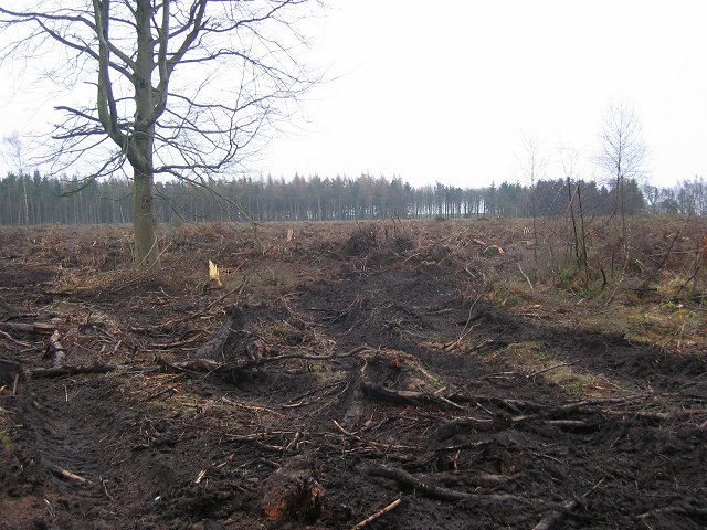
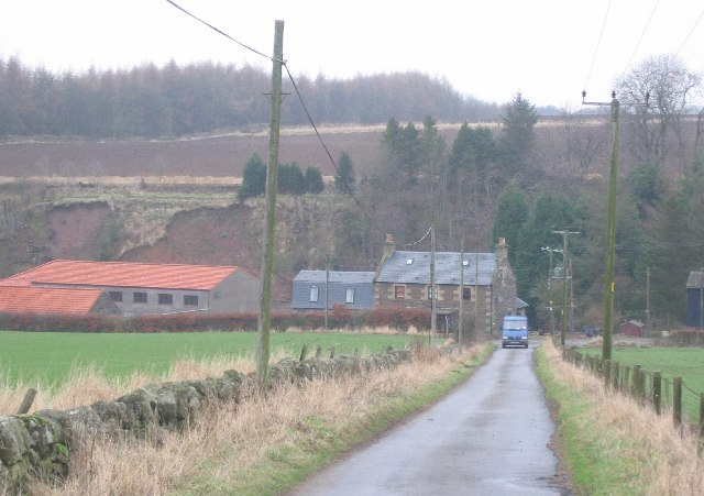
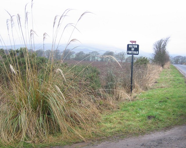
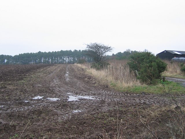
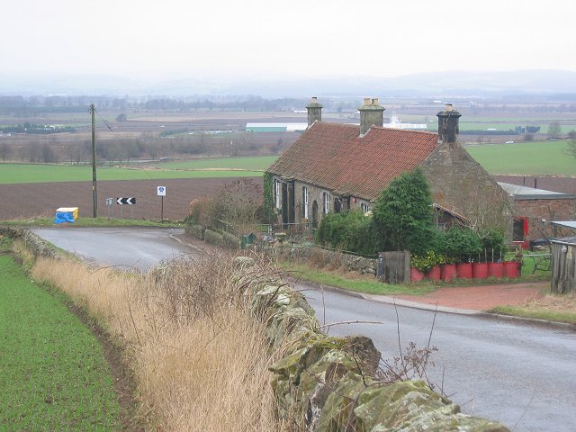
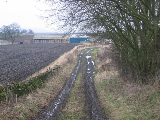
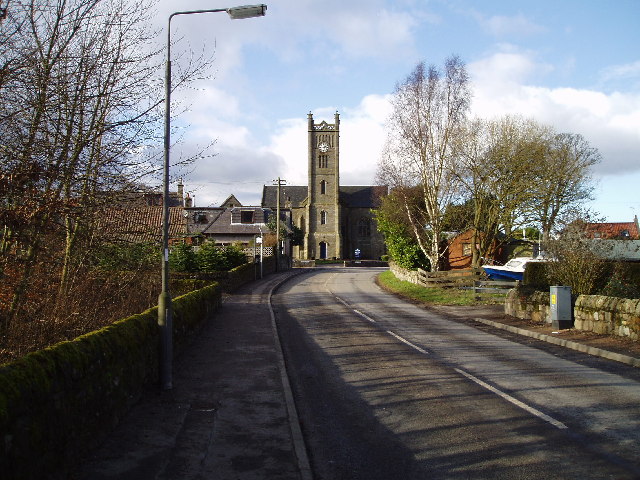
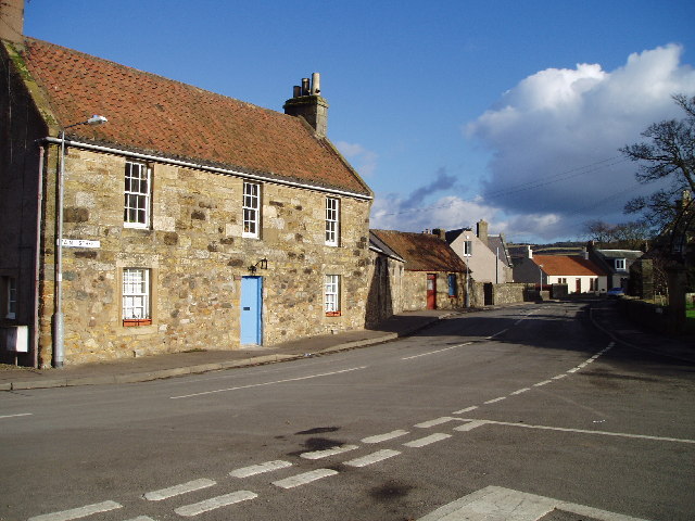
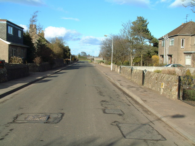
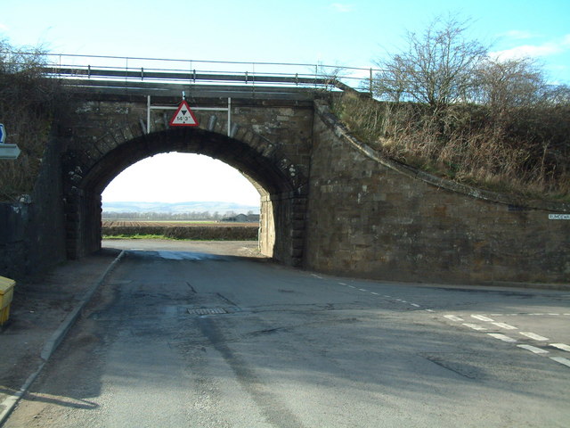
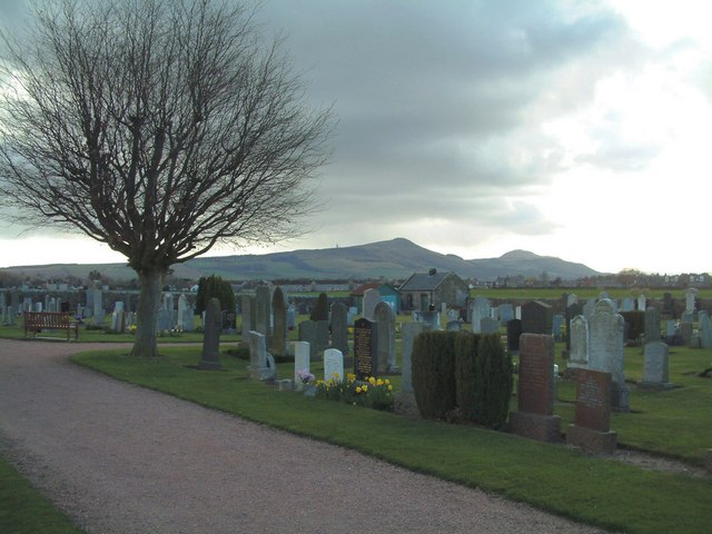
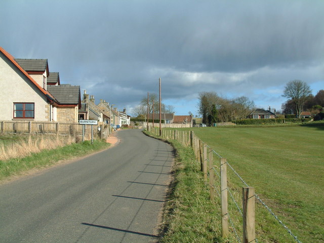
Chapel Den Images

Images are sourced within 2km of 56.251379/-3.115551 or Grid Reference NO3007. Thanks to Geograph Open Source API. All images are credited.

Farmland by Greenside, Drummy Wood Looking across much of the square in a north direction towards Rameldry. Much of the square to the South of this position is old woodland.
Farmland by Greenside, Drummy Wood
Looking across much of the square in a north direction towards Rameldry. Much of the square to the South of this position is old woodland.
By Rameldry Rough grazing, burn, ploughed field and woodland all by Rameldry. Looking East towards the mist covered slopes of Clatto Hill 248mts
By Rameldry
Rough grazing, burn, ploughed field and woodland all by Rameldry. Looking East towards the mist covered slopes of Clatto Hill 248mts
Kettlehill Farm Looking out SW across the square. The mist covered Lomonds in the background.
Kettlehill Farm
Looking out SW across the square. The mist covered Lomonds in the background.
By Middlefield Midway between Rameldry Farm and Middlefield cross roads
By Middlefield
Midway between Rameldry Farm and Middlefield cross roads
Clearfell , Dykehead Wood. Part of the Drummy Wood forest block, now almost completely felled.
A view from 2009 can be seen here: <a href="https://www.geograph.org.uk/photo/1439915">NO3105 : Dykehead Wood</a>
Clearfell , Dykehead Wood.
Part of the Drummy Wood forest block, now almost completely felled. A view from 2009 can be seen here: NO3105 : Dykehead Wood
Rameldry Mill View NE along a minor road. Note the landslips on the bank.
Rameldry Mill
View NE along a minor road. Note the landslips on the bank.
Hilton of Forthar, road end. End of the road up to Hilton of Forthar.  View W towards the cloud covered Lomond Hills.
Hilton of Forthar, road end.
End of the road up to Hilton of Forthar. View W towards the cloud covered Lomond Hills.
Hilton of Forthar Newly ploughed fields, looking north. Stables on the right,
Hilton of Forthar
Newly ploughed fields, looking north. Stables on the right,
Forthar Cottages at the foot of a steep hill. View W over the Howe of Fife.
Forthar
Cottages at the foot of a steep hill. View W over the Howe of Fife.
East Forthar View along a farm track with a  former quarry run to woodland on the right.
East Forthar
View along a farm track with a former quarry run to woodland on the right.
Howe of Fife Parish Church, Kingskettle View west along main road towards the church which stands on the western edge of this grid square, The church was built in 1853 and is a very fine and attractive building which can be seen from afar and which lies within a very attractive small village.
Howe of Fife Parish Church, Kingskettle
View west along main road towards the church which stands on the western edge of this grid square, The church was built in 1853 and is a very fine and attractive building which can be seen from afar and which lies within a very attractive small village.
Kingskettle An attractive village in Fife locally known as Kettle which developed in an area which once belonged to the Crown and where an unrecorded battle or Cathel took place, this is how the name Kingskettle came about. The village developed in the 19th century with the opening of the turnpike road and with the development of mining and weaving.
Kingskettle
An attractive village in Fife locally known as Kettle which developed in an area which once belonged to the Crown and where an unrecorded battle or Cathel took place, this is how the name Kingskettle came about. The village developed in the 19th century with the opening of the turnpike road and with the development of mining and weaving.
Kettlebridge Main street (Rumdewan) in the village of Kettlebridge
Kettlebridge
Main street (Rumdewan) in the village of Kettlebridge
Kettlebridge railway bridge The main line between the Forth Rail Bridge and Tay Rail bridge also crosses this little bridge in Kettlebridge
Kettlebridge railway bridge
The main line between the Forth Rail Bridge and Tay Rail bridge also crosses this little bridge in Kettlebridge
Kingskettle Cemetery The Lomond Hills form the background skyline
Kingskettle Cemetery
The Lomond Hills form the background skyline
Coaltown of Burnturk There are many Fife villages known as 'Coaltown' of this or that. They were originally mining villages, but none of the pits or mines now remain active.
Coaltown of Burnturk
There are many Fife villages known as 'Coaltown' of this or that. They were originally mining villages, but none of the pits or mines now remain active.
Timber A felled tree beside a footpath near Kettlehill, with the Lomond Hills in the background.
Timber
A felled tree beside a footpath near Kettlehill, with the Lomond Hills in the background.
Parkwell Cottage Abandoned and ruinous cottage, possibly associated with old coal workings in the neighbourhood.
Parkwell Cottage
Abandoned and ruinous cottage, possibly associated with old coal workings in the neighbourhood.
Show me another place!

Chapel Den is located at Grid Ref: NO3007 (Lat: 56.251379, Lng: -3.115551)

Unitary Authority: Fife

Police Authority: Fife

What 3 Words

///crest.bloom.cackling. Near Kingskettle, Fife

Nearby Locations

Kettlebridge Chapel Den

Related Wikis

Nearby Amenities

Located within 500m of 56.251379,-3.115551
Kettlebridge
Place: village
Lat/Long: 56.2551997/-3.1184005
Pub
Kettlebridge Inn
Lat/Long: 56.2546772/-3.1184092
Barrier: kissing_gate
Lat/Long: 56.253864/-3.1200188
Fast Food
Fast n Fresh
Cuisine: sandwich
Lat/Long: 56.2548905/-3.117996
Give Way
Direction: forward
Lat/Long: 56.255544/-3.1162293
Give Way
Direction: forward
Lat/Long: 56.2536883/-3.1206603
Give Way
Direction: forward
Lat/Long: 56.2538827/-3.1201655
Power: pole
Lat/Long: 56.249633/-3.1223166
Power: pole
Lat/Long: 56.2502767/-3.1218177
Power: pole
Lat/Long: 56.2508773/-3.121469
Power: pole
Lat/Long: 56.2514674/-3.1211418
Frequency: 50
Power: pole
Transformer: distribution
Voltage Secondary: 400
Lat/Long: 56.2515776/-3.1210613
Power: pole
Lat/Long: 56.2522228/-3.1206992
Material: wood
Power: pole
Lat/Long: 56.2529708/-3.1202701
Material: wood
Power: pole
Lat/Long: 56.2536443/-3.1198999
Location: indoor
Power: substation
Substation: minor_distribution
Lat/Long: 56.2557184/-3.1155467
Bus Stop
Bench: yes
Naptan AtcoCode: 6500N0292
Naptan NaptanCode: 34342462
Shelter: yes
Lat/Long: 56.2556804/-3.1156527
Post Box
Brand: Royal Mail
Brand Wikidata: Q638098
Brand Wikipedia: en:Royal Mail
Collection Times: Mo-Fr 09:00; Sa 07:00
Operator: Royal Mail
Operator Wikidata: Q638098
Post Box Type: wall
Ref: KY15 305D
Royal Cypher: VR
Royal Cypher Wikidata: Q33102356
Lat/Long: 56.2548355/-3.118025
Power: pole
Lat/Long: 56.2525157/-3.1092331
Power: pole
Lat/Long: 56.2526323/-3.1103509
Power: pole
Lat/Long: 56.2528/-3.1117662
Power: pole
Lat/Long: 56.2528353/-3.1119565
Power: pole
Lat/Long: 56.2531099/-3.1128052
Power: pole
Lat/Long: 56.2533955/-3.1134199
Power: pole
Lat/Long: 56.2536786/-3.1142686
Power: pole
Lat/Long: 56.2539362/-3.1150518
Power: pole
Lat/Long: 56.2542242/-3.1159224
Power: pole
Lat/Long: 56.2544891/-3.1167449
Power: pole
Lat/Long: 56.2526955/-3.1124946
Power: pole
Lat/Long: 56.2522325/-3.1122977
Power: pole
Lat/Long: 56.2524251/-3.1083909
The data included in this document is from www.openstreetmap.org. The data is made available under ODbL.

Have you been to Chapel Den?

Leave your review of Chapel Den below (or comments, questions and feedback).