Booby Dingle
Valley in Herefordshire
England
Booby Dingle
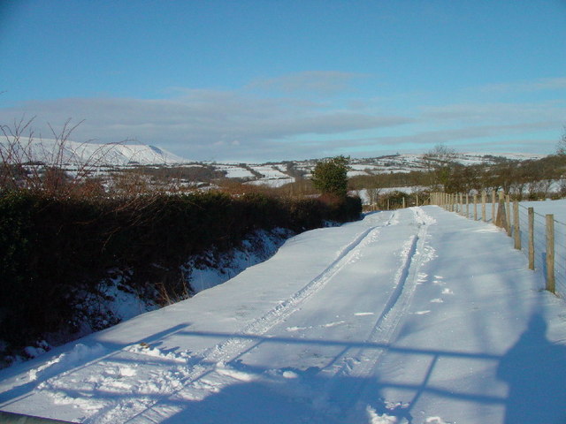
Booby Dingle is a small valley located in the county of Herefordshire, England. Nestled amidst rolling hills and picturesque countryside, it is renowned for its natural beauty and tranquility. The valley stretches over approximately 2 square kilometers and is home to a small population of around 200 residents.
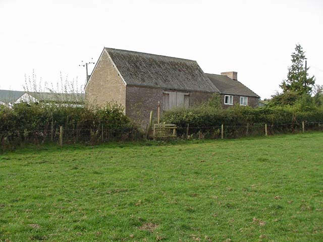
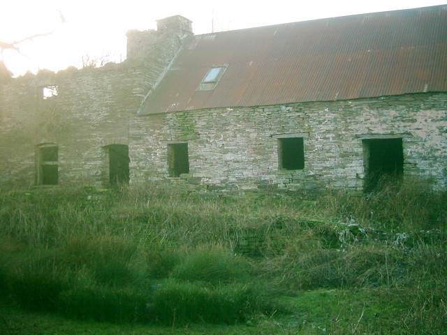
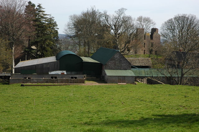
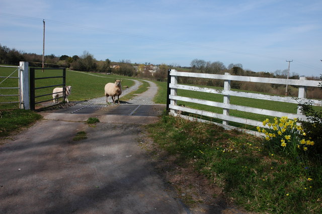
Booby Dingle is characterized by its lush green landscapes, dotted with charming cottages and farmhouses. The area is predominantly agricultural, with farming being the primary occupation of the local community. The fertile soil and favorable climate make it an ideal location for cultivating crops such as wheat, barley, and potatoes.
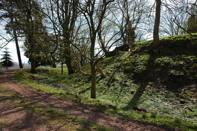
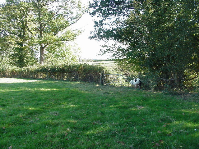
The valley is also blessed with a diverse range of flora and fauna. Ancient woodlands and hedgerows provide habitats for various species of birds, mammals, and insects. Booby Dingle is particularly known for its rich birdlife, attracting birdwatchers and nature enthusiasts from far and wide.
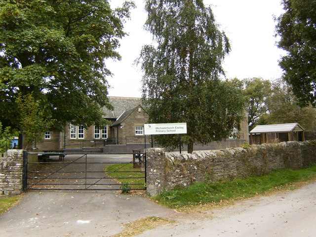
The village of Booby Dingle itself is small but welcoming, with a sense of close-knit community. It boasts a few amenities, including a village hall, a local pub, and a small convenience store. The residents actively engage in community events and gatherings, fostering a strong sense of belonging.
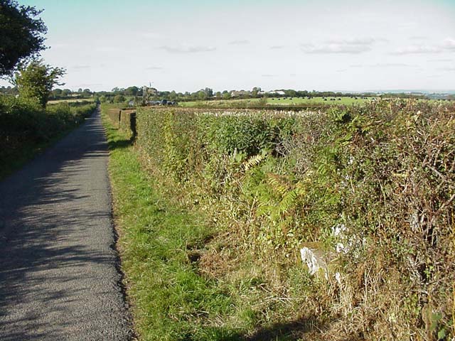
For visitors seeking a peaceful retreat, Booby Dingle offers ample opportunities for walking, cycling, and exploring the surrounding countryside. The undulating terrain and scenic trails make it an ideal destination for outdoor enthusiasts and nature lovers alike.
In conclusion, Booby Dingle is a picturesque valley in Herefordshire, known for its agricultural landscape, diverse wildlife, and tight-knit community. Its natural beauty and peaceful atmosphere make it a hidden gem for both residents and visitors to enjoy.
If you have any feedback on the listing, please let us know in the comments section below.
Booby Dingle Images
Images are sourced within 2km of 52.026521/-3.0130987 or Grid Reference SO3036. Thanks to Geograph Open Source API. All images are credited.


Booby Dingle is located at Grid Ref: SO3036 (Lat: 52.026521, Lng: -3.0130987)
Unitary Authority: County of Herefordshire
Police Authority: West Mercia
What 3 Words
///hopefully.setting.spared. Near Dorstone, Herefordshire
Nearby Locations
Related Wikis

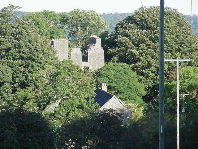
Urishay Castle
Urishay constitutes the remains of a castle, 16th century chapel and 17th century house located about 2.5 km west of Peterchurch in Herefordshire, England...
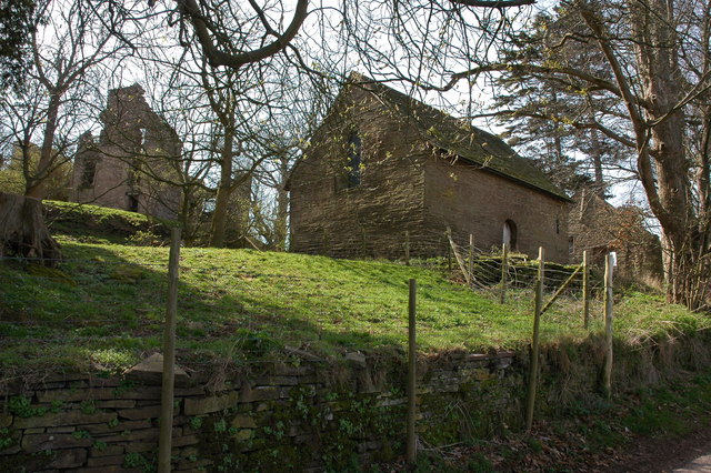
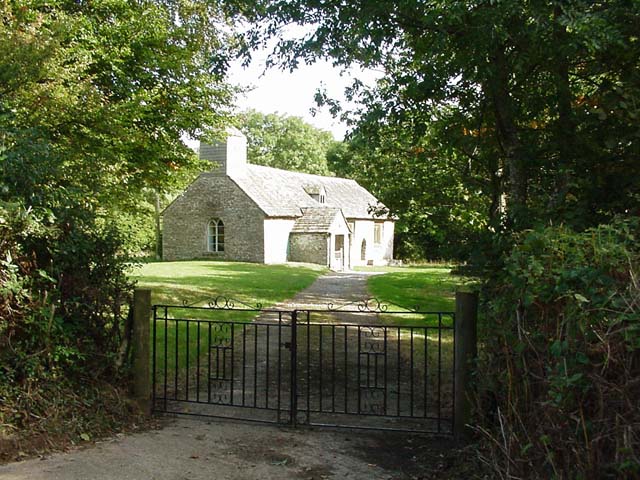
Urishay Castle Chapel
Urishay Castle Chapel is a redundant chapel to the north of Urishay Castle, some 2.5 kilometres (2 mi) west of the village of Peterchurch in Herefordshire...

Ewyas Lacy
Ewyas Lacy was an ancient hundred in south-west Herefordshire. It was part of the ancient Welsh region of Ewyas claimed by the de Lacy family following...
Craswall
Craswall (historically also spelt Craswell, Crasswall and Crosswold) is a village and civil parish in Herefordshire, England. It lies in the far west...
Have you been to Booby Dingle?
Leave your review of Booby Dingle below (or comments, questions and feedback).