Cwm Garw
Valley in Herefordshire
England
Cwm Garw
Cwm Garw is a picturesque valley located in the county of Herefordshire, England. Nestled within the stunning landscape of the Welsh Marches, this valley is renowned for its natural beauty and tranquility.
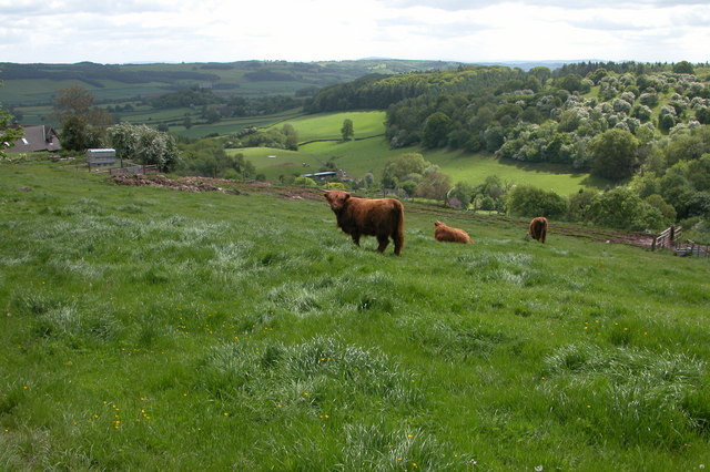
Surrounded by rolling hills and lush greenery, Cwm Garw offers a captivating sight to all who visit. The valley is characterized by its meandering river, which flows gently through the heart of the landscape, enhancing its charm and allure. The river is flanked by enchanting woodlands, dotted with a variety of trees, including oak, ash, and beech.
Wildlife thrives in Cwm Garw, with the valley providing a habitat for an array of species. Visitors can observe a plethora of birds, including woodpeckers, kingfishers, and herons, as well as various mammals such as otters and badgers. The valley's diverse ecosystem attracts nature enthusiasts and photographers alike.
The area surrounding Cwm Garw is rich in history, with traces of ancient settlements and archaeological sites scattered throughout the landscape. Visitors can explore the remnants of old stone buildings, evidence of the valley's past inhabitants.
For those seeking outdoor activities, Cwm Garw offers numerous opportunities. The valley is an excellent destination for hiking and walking, with a network of well-maintained trails meandering through the countryside. Additionally, the river provides an ideal spot for fishing, attracting anglers from far and wide.
Cwm Garw is a hidden gem within Herefordshire, offering a serene escape from the busyness of everyday life. Its breathtaking scenery, abundant wildlife, and rich history make it a must-visit destination for nature lovers and history enthusiasts alike.
If you have any feedback on the listing, please let us know in the comments section below.
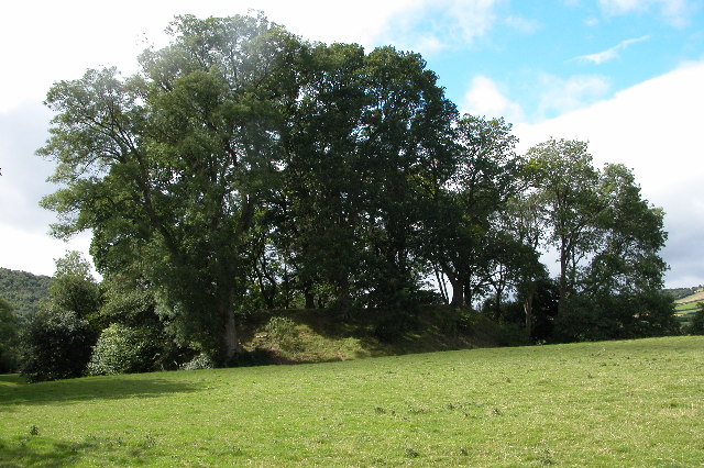
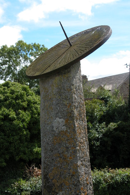
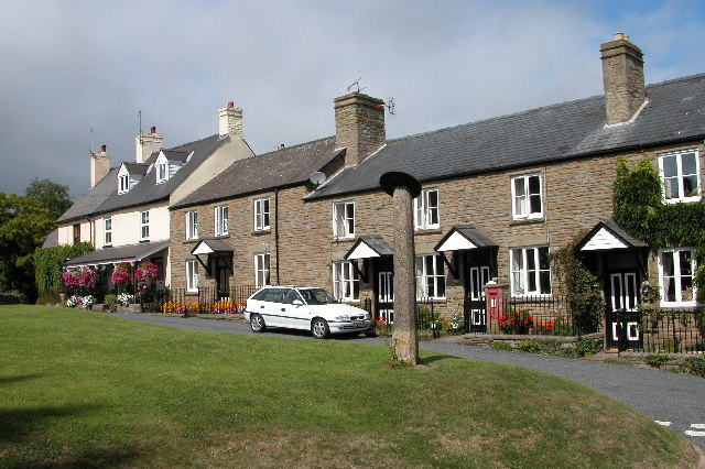
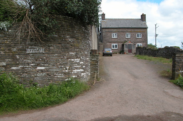
Cwm Garw Images
Images are sourced within 2km of 52.054751/-3.0184627 or Grid Reference SO3040. Thanks to Geograph Open Source API. All images are credited.


Cwm Garw is located at Grid Ref: SO3040 (Lat: 52.054751, Lng: -3.0184627)
Unitary Authority: County of Herefordshire
Police Authority: West Mercia
What 3 Words
///nightfall.spilling.staining. Near Dorstone, Herefordshire
Nearby Locations
Related Wikis

Dorstone Castle
Dorstone Castle was in the village of Dorstone in Herefordshire, England, located 6 miles to the east of Hay-on-Wye. == Motte and bailey == This was a...

Snodhill Castle
Snodhill Castle is a ruined motte-and-bailey castle, about 1 mi (1.6 km) south of the village of Dorstone in west Herefordshire, England. It is recognized...

Dorstone
Dorstone is a village within the Golden Valley, Herefordshire, England. There is a church and public house with restaurant. The Golden Valley area offers...

Dorstone railway station
Dorstone railway station was a station in Dorstone, Herefordshire, England. The station was opened in 1881, closed to passengers in 1941 and closed completely...
Have you been to Cwm Garw?
Leave your review of Cwm Garw below (or comments, questions and feedback).